
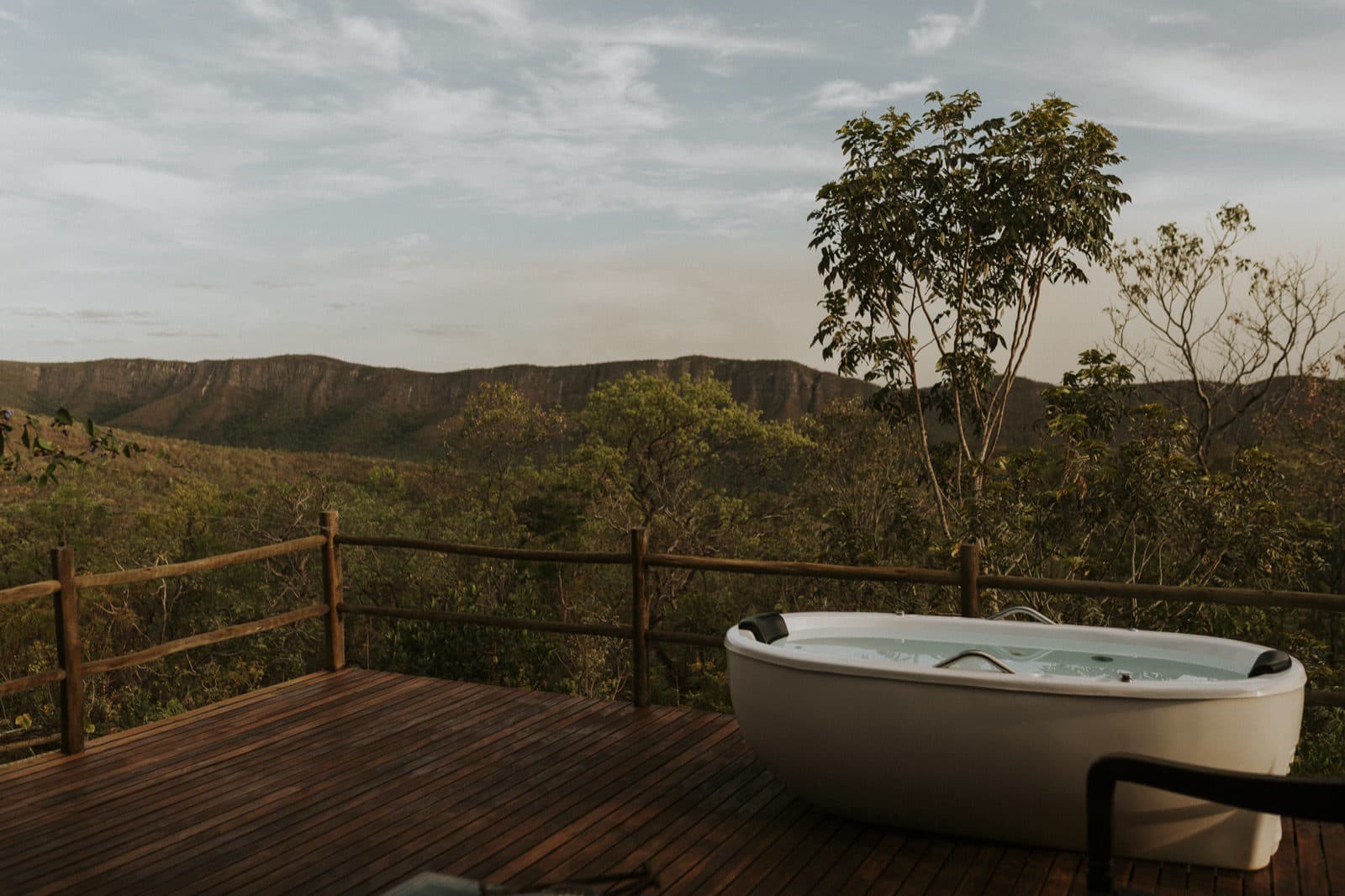
ViewpointMunicipality of Alto Paraíso de Goiás
Pico da Fogueira
A peak with a hiking trail between Alto Paraíso and São Jorge, in the Jardim de Maytrea and Morro da Baleia area, recommended by the guide's team.
ViewpointMunicipality of Alto Paraíso de Goiás
- Arriving by car
- No information yet
- no data
- Price paid
- No information yet
- no data
- Pets
- No information yet
- no data
Before you head out
Status today
Check today’s opening with the operator before you head out.
Weather at this place
Loading forecast…
When to go
To be confirmed
No source gives a season to visit.
Confirm before you go: starting point, trail length, whether the land is private and whether there is a fee.
Contact this place
We do not have a confirmed direct channel yet. Ask the tourist service center or a local guide.
Other ways to find the place
Pico da Fogueira is between Alto Paraíso and São Jorge, near the GO-239 corridor, in the same area as the Jardim de Maytrea and the Morro da Baleia. Google Maps lists it as a hiking trail.
The guide's team recommends it as a viewpoint of the area. We have not yet confirmed the trail's length, the starting point, whether the land is private or whether there is a fee; ask a local guide before going.
Before you go
Our team checked these values first; visitors keep them current. Tap the votes to see how visitors answered.
Pets
no dataNo information yetWe have not found a confirmed public policy for this visit. Contact the operator before bringing your pet.
No information yet: road, effort, price per person, kids, local guide, and best time
How to visit
Near the GO-239 corridor, between Alto Paraíso and São Jorge. The starting point and access have not been confirmed yet.
Getting there
Entrance and distances not yet confirmed. Check the access directions on this page and arrange your arrival point with the operator.
- Pousada CamarásBase in Alto Paraíso · access to this attraction not yet confirmedSee Pousada Camarás on the map
The road, as visitors found it
Contact this place
We do not have a confirmed direct channel yet. Ask the tourist service center or a local guide.
Other ways to find the place
Tips from visitors
Photos from visitors
No verified photo yet. If you have been here, the first photo can be yours.
The place, the terrain and the trails
Where to arrive and start. The entrance and parking do not have a confirmed point on this map yet. Arrange your arrival with the operator or local guide using the contacts on this page before planning your route.
Routes and elevationVisitor recordings, with the distance and elevation of the whole route, are on Wikiloc. Search routes on Wikiloc ↗
Pair it with these places
See all · Alto Paraíso de Goiás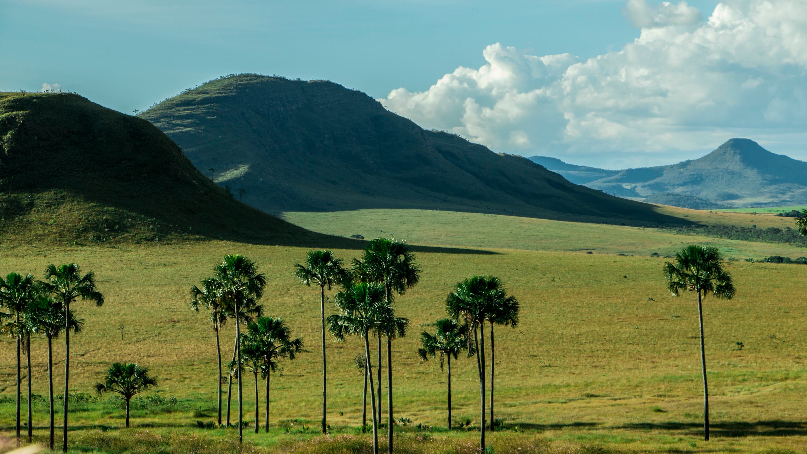 LandscapeJardim de Maytréia≈ 1.6 km in a straight line
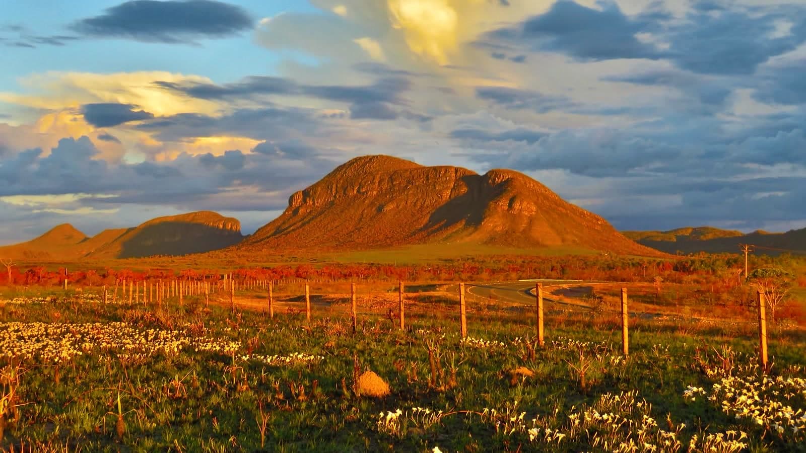 ViewpointMorro do Buracão≈ 1.6 km in a straight line
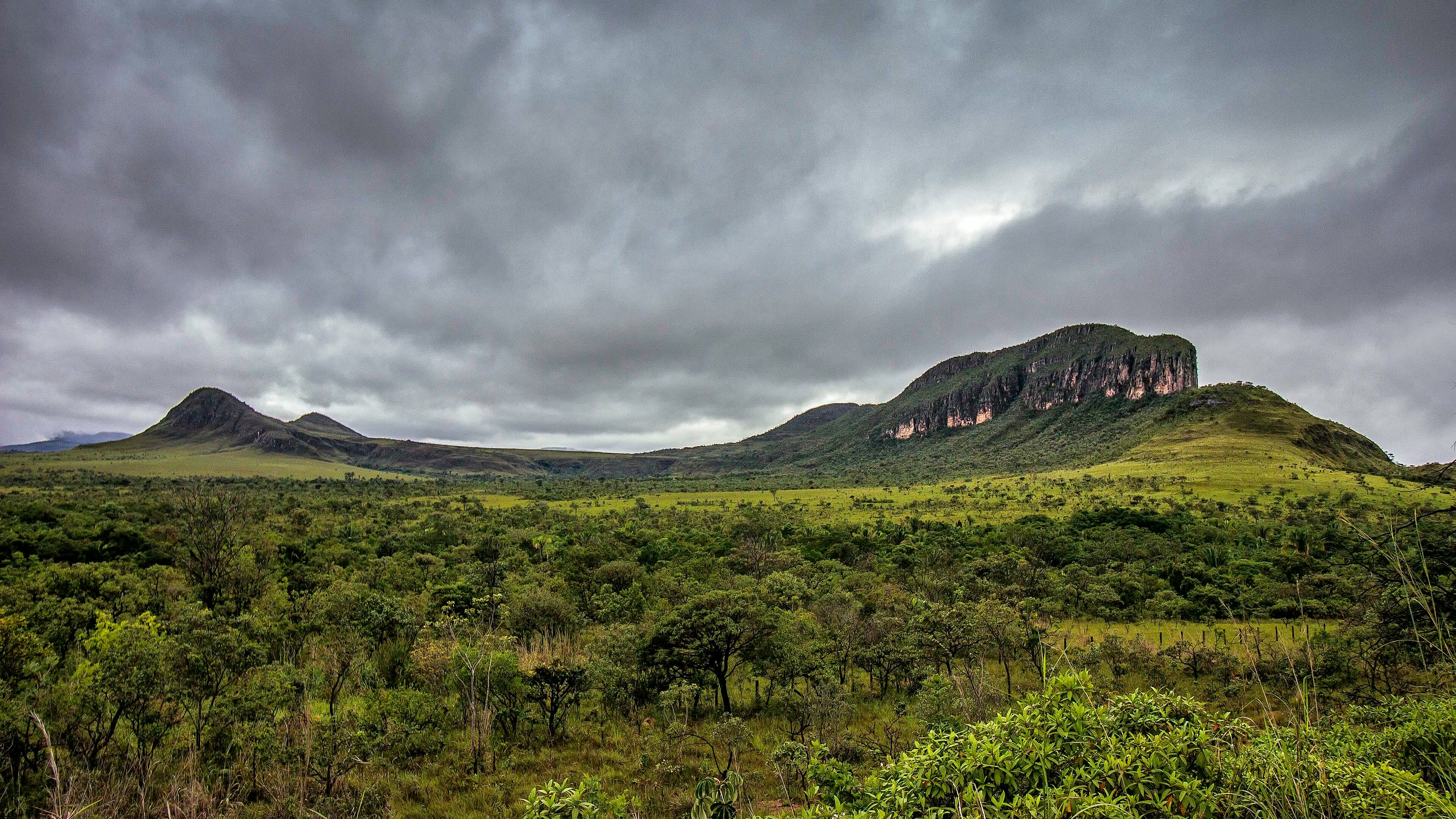 ViewpointMorro da Baleia≈ 1.7 km in a straight line
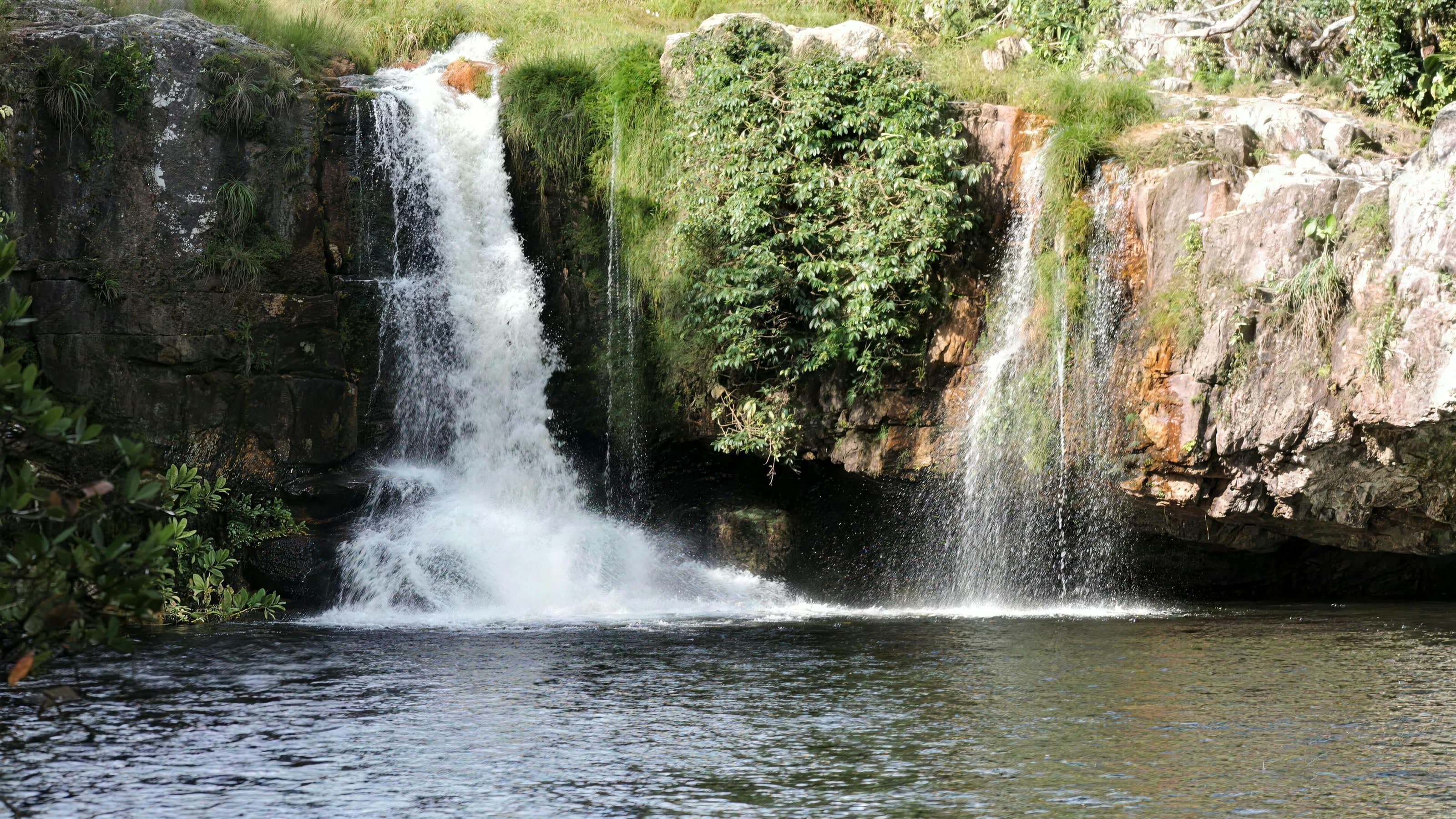 WaterfallCachoeira São Bento≈ 8.5 km in a straight line
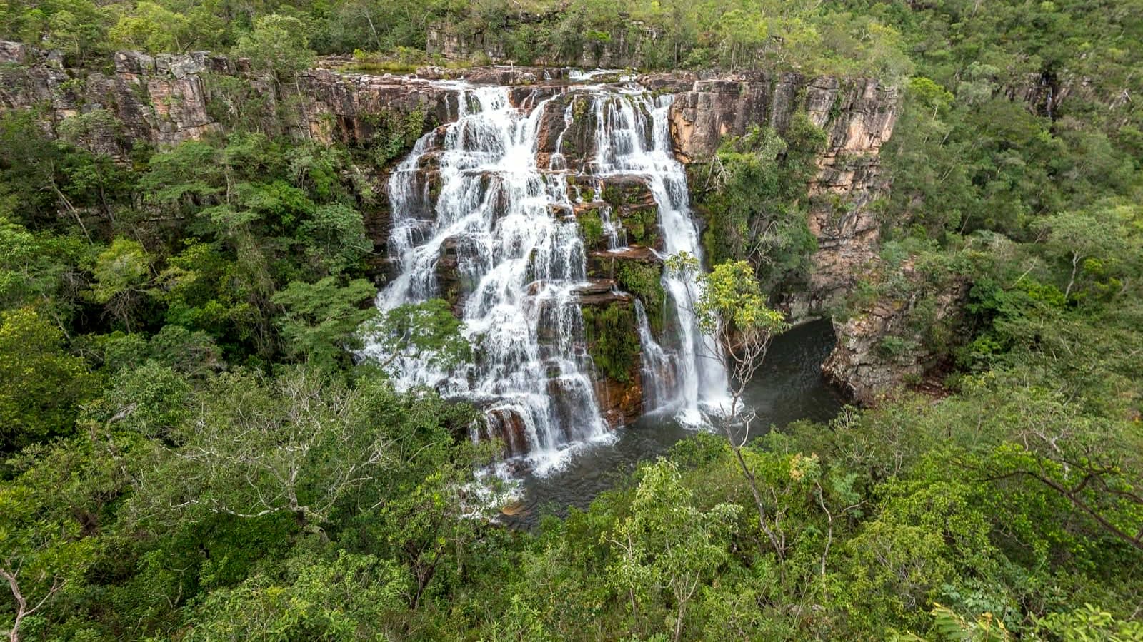 ComplexFazenda São Bento≈ 8.8 km in a straight line
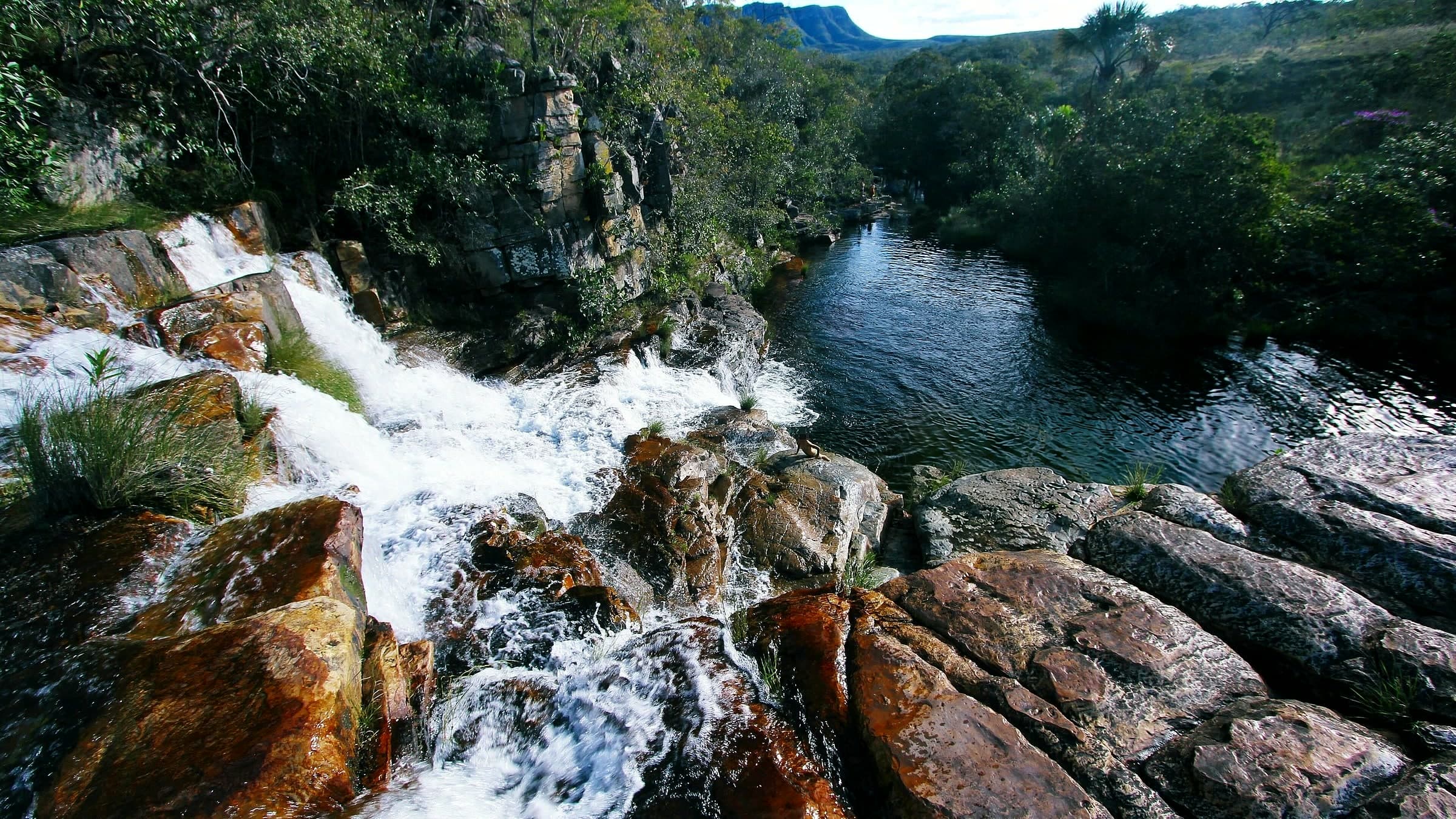 WaterfallAlmécegas II≈ 8.9 km in a straight line