
ViewpointMunicipality of Alto Paraíso de Goiás
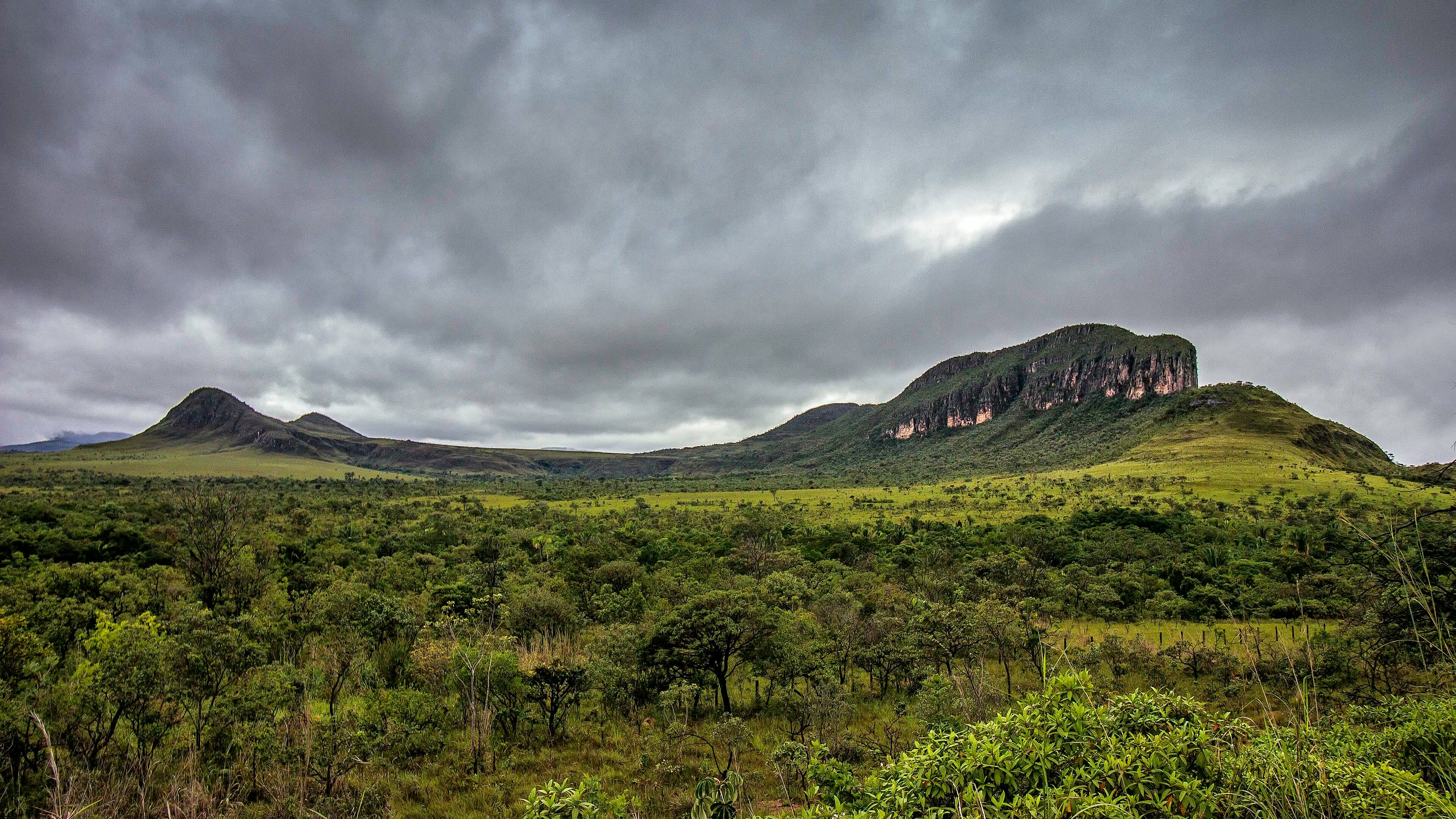
Morro da Baleia
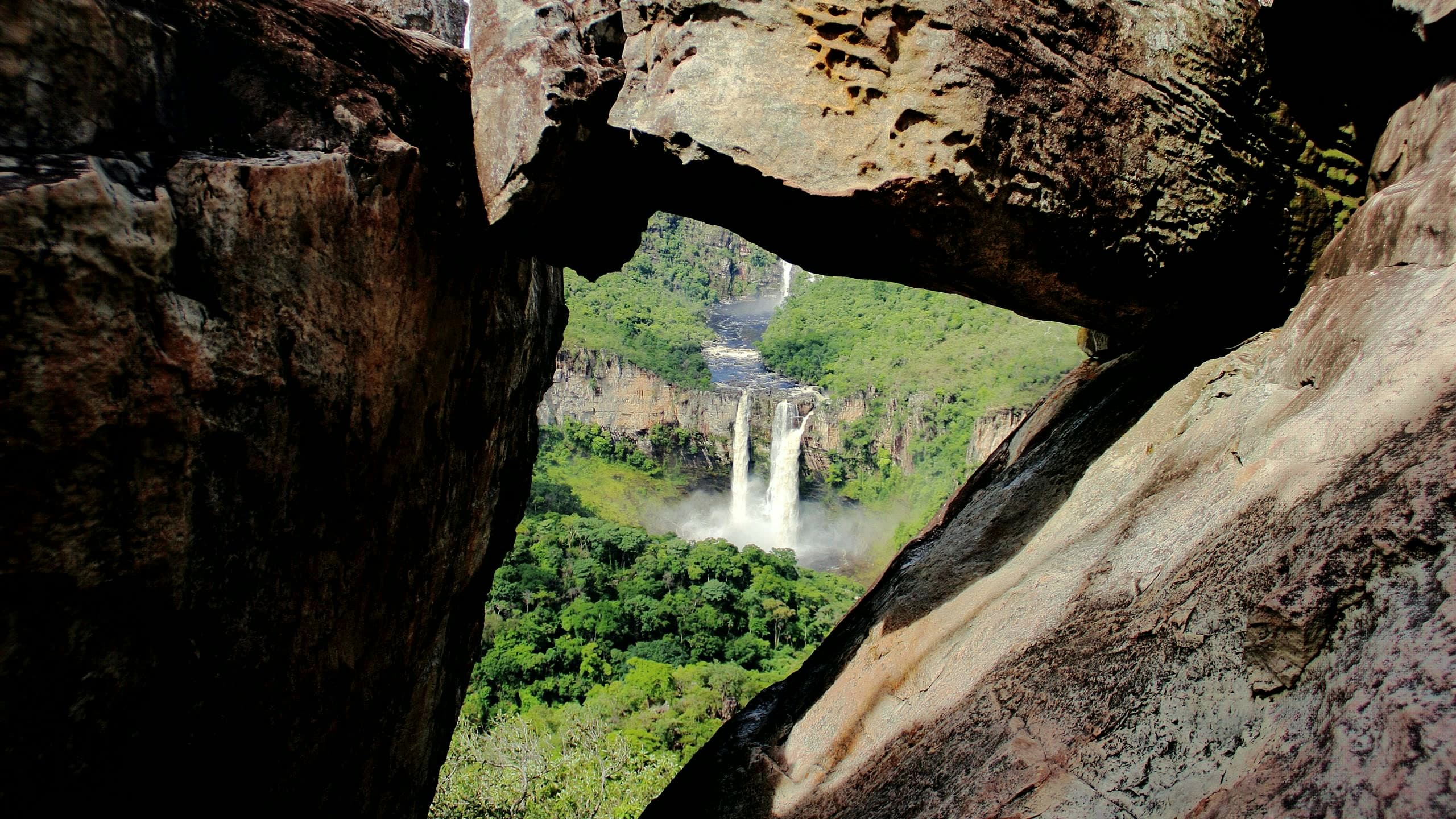
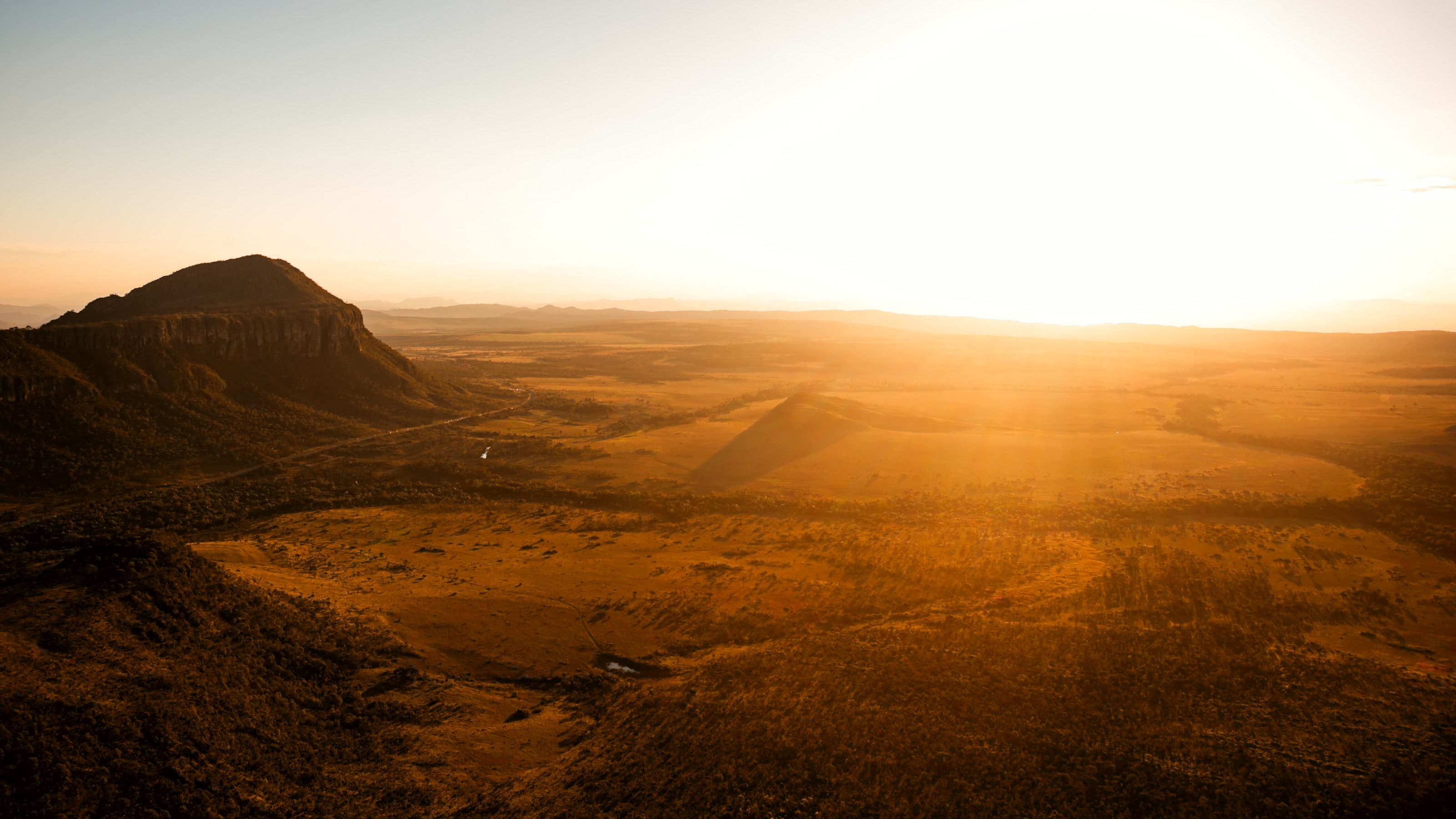
A landmark on the skyline between Alto Paraíso and São Jorge, Morro da Baleia has a reported trail with a steep climb up to viewpoints that reveal the Jardim de Maytréia and the Buracão.
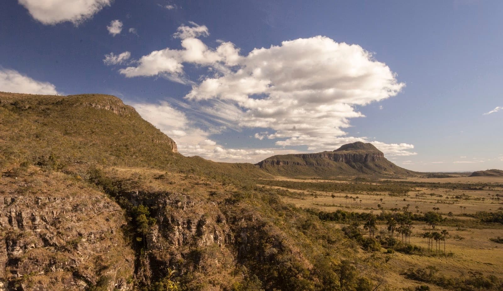
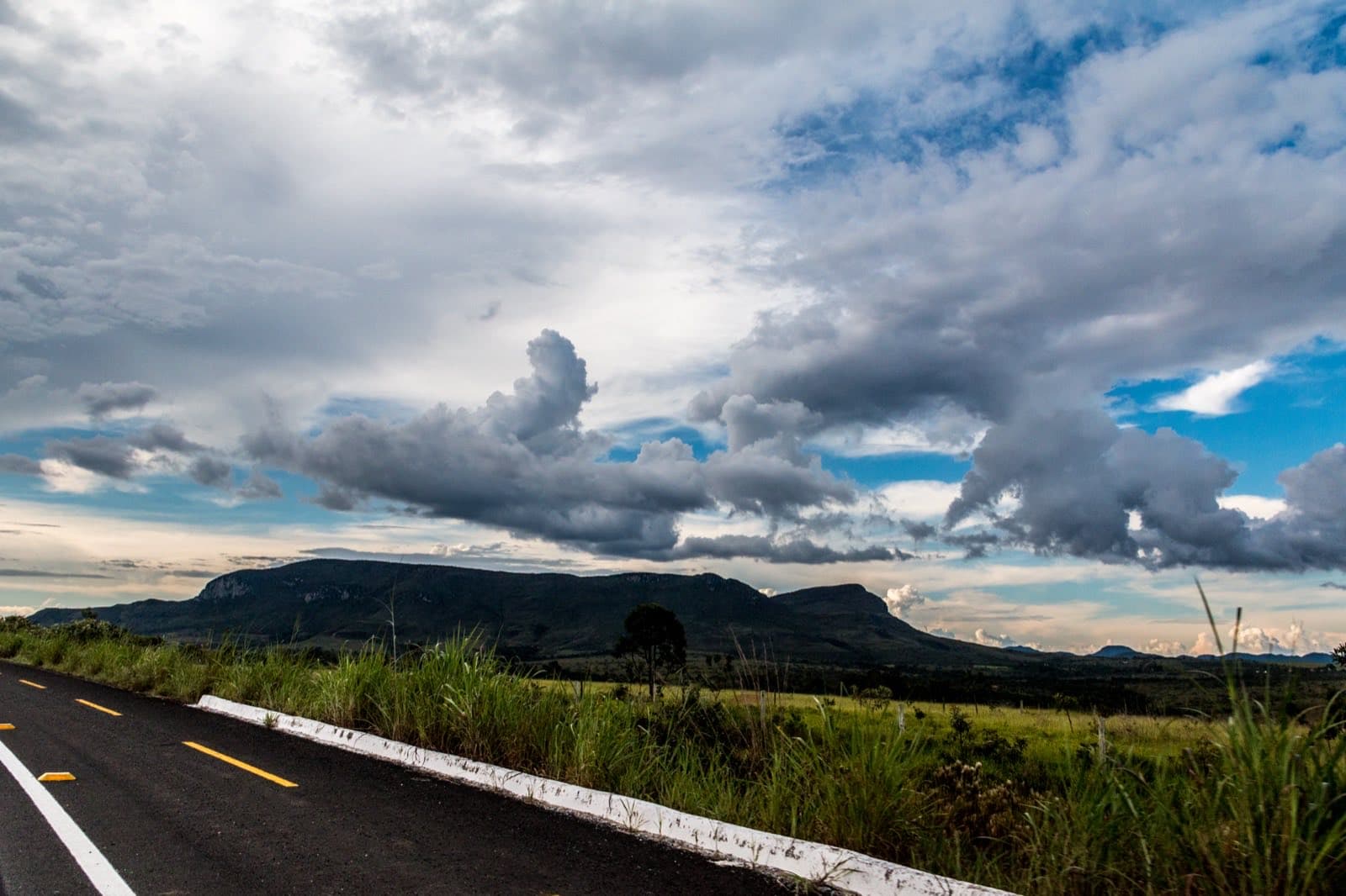
© João Bispo de Aragão Filho · CC BY-SA 4.0 · Wikimedia Commons
- Arriving by car
- Access to be confirmed
- Sep 2026
- Price paid
- R$ 20 per person
- Aug 2026
- Need a local guide?
- Required
- Aug 2026
Before you head out
Status today
Check today’s opening with the operator before you head out.
Weather at this place
Loading forecast…
Precautions on site
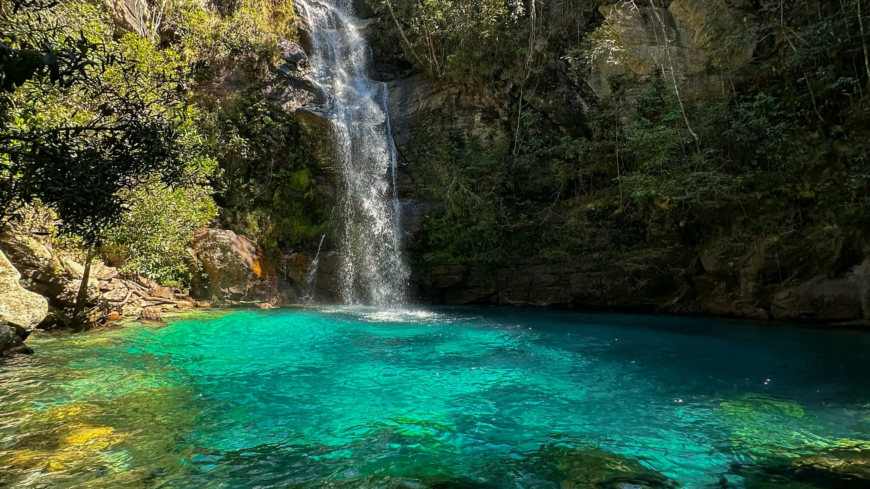
The Guia Essencial guidebook records that access to the Bailarina pool is not allowed, due to environmental fragility and the risk of falling rocks. Do not go down to the pool: the route ends at the viewpoints.
For your safety: hire a local guide.
Find local guides →When to go
To be confirmed
Cachoeira da Bailarina, on the same route, is seasonal: its water depends on the rains.
Confirm before you go: whether the route up to the viewpoints is authorized, given the park boundaries.
Contact this place
We do not have a confirmed direct channel yet. Ask the tourist service center or a local guide.
Other ways to find the place
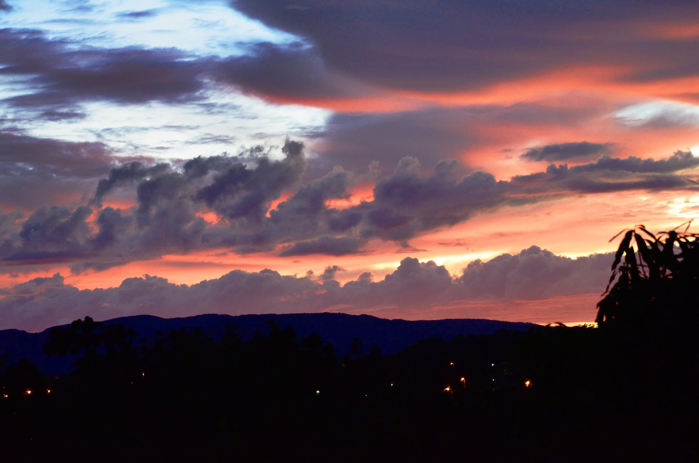
Morro da Baleia is a landmark on the skyline between Alto Paraíso and São Jorge, visible from different points along the road and the bike path. Its former name, Serra do Ferro de Engomar, referred to the shape of a clothes iron; the current name also comes from its silhouette, which resembles a whale.
The trail reported for the Bailarina area starts with a steep climb, including steps, and continues among pale rocks and cerrado vegetation. The viewpoints reveal the Jardim de Maytréia, the Buracão and other features of the terrain.
Before you go
Our team checked these values first; visitors keep them current. Tap the votes to see how visitors answered.
Our checkVisitors
Arriving by car
Our check, updated Sep 2026Access to be confirmedWe don’t yet have enough information about the road to the arrival point. A pin on the map or an address doesn’t tell you the road’s condition.Hiking effort
Our check, updated Sep 2026ModerateClimbs, descents and short stretches of rock or gravel. Requires stamina and some hiking experience; heat and rain can make it harder.Price paid
Our check, updated Aug 2026R$ 20 per personPets
no dataNo information yetWe have not found a confirmed public policy for this visit. Contact the operator before bringing your pet.
Need a local guide?
Our check, updated Aug 2026Required
No information yet: kids and best time
Tickets and costs
R$ 20 per person. Local guide required.
Prices checked on Aug 5, 2026. Confirm when booking.
Guiding
Local guide required, per the Aug 5, 2026 price table.
The route
Our source gives no trail length; the route described ends at the viewpoints.
Getting there
Approximate driving distances · Morro da Baleia · map pin
- Vila InfinitoRoute
- Pousada Camarásestimate from published segments≈ 18.8 kmRoute
- São JorgeRoute
- Alto Paraíso de GoiásRoute
- CavalcanteRoute
There is no confirmed driving route to this point yet. The routes open Google Maps at the map pin; arrange the access with the operator.
Approximate driving distances for Vila Infinito, Pousada Camarás and the centers of São Jorge, Alto Paraíso de Goiás and Cavalcante where a reliable arrival point is mapped. Some routes were checked in Google Maps; the others are OSRM / OpenStreetMap estimates. Where no distance is shown, the link opens the route in Google Maps. Walking trails are not included.
Estimate by road segments: drive to the base town or community plus the published access distance. Confirm the final arrival point with the operator. Checked on Oct 20, 2026. Distance sources ↗
Distance sources
Arrival point source ↗The road, as visitors found it
Our check: The approach to the trail uses a dirt side road off GO-239. Arrange the exact starting point with your local guide and confirm a suitable car; seeing the hill from the paved road is not the same as reaching the Bailarina.
Contact this place
We do not have a confirmed direct channel yet. Ask the tourist service center or a local guide.
Other ways to find the place
Tips from visitors
Photos from visitors
The trail
- Distance
- 1.8 km one way · 3.6 km there and back
- Ascent
- ≈ 312 m
- Descent
- ≈ 18 m
- Min. / max. elevation
- 1,220 / 1,529 m
The route shows the most-walked climb, from the campsite to the summit. The walk to the Bailarina waterfall viewpoints, described above, leaves from the east side and is not yet on the open map.
Ascent and descent are counted on the way out. Traced along OpenStreetMap paths (survey of Sep 14, 2026), checked on Oct 7, 2026. Elevations from the open AWS Terrain Tiles model, at about 30 m resolution. Approximate figures: confirm the permitted route with the attraction’s operator.
See visitor recordings on Wikiloc ↗The place, the terrain and the trails
Where to arrive and start. The entrance and parking do not have a confirmed point on this map yet. Arrange your arrival with the operator or local guide using the contacts on this page before planning your route.
Pair it with these places
See all · Alto Paraíso de Goiás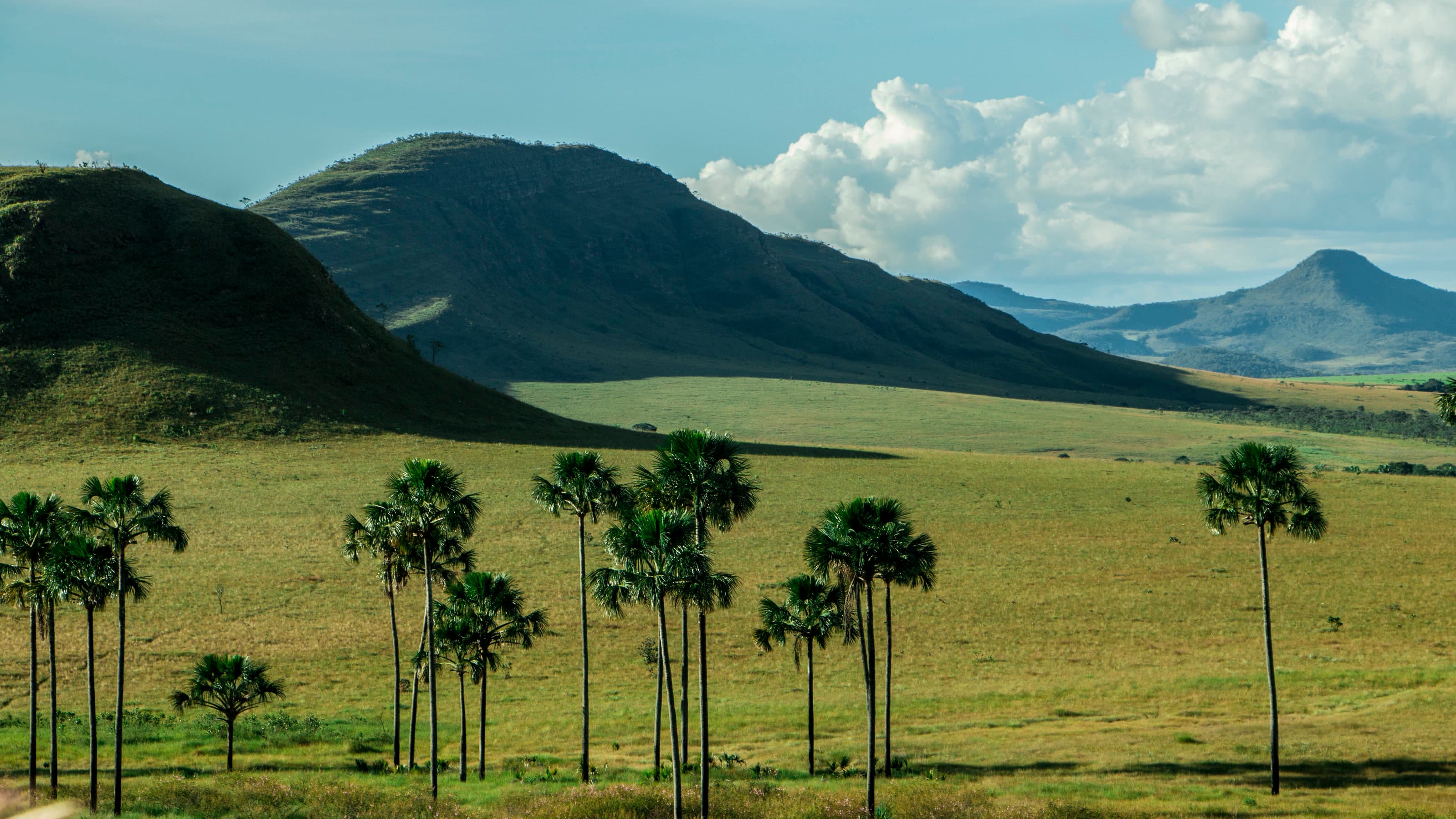 LandscapeJardim de Maytréia≈ 2.8 km in a straight line
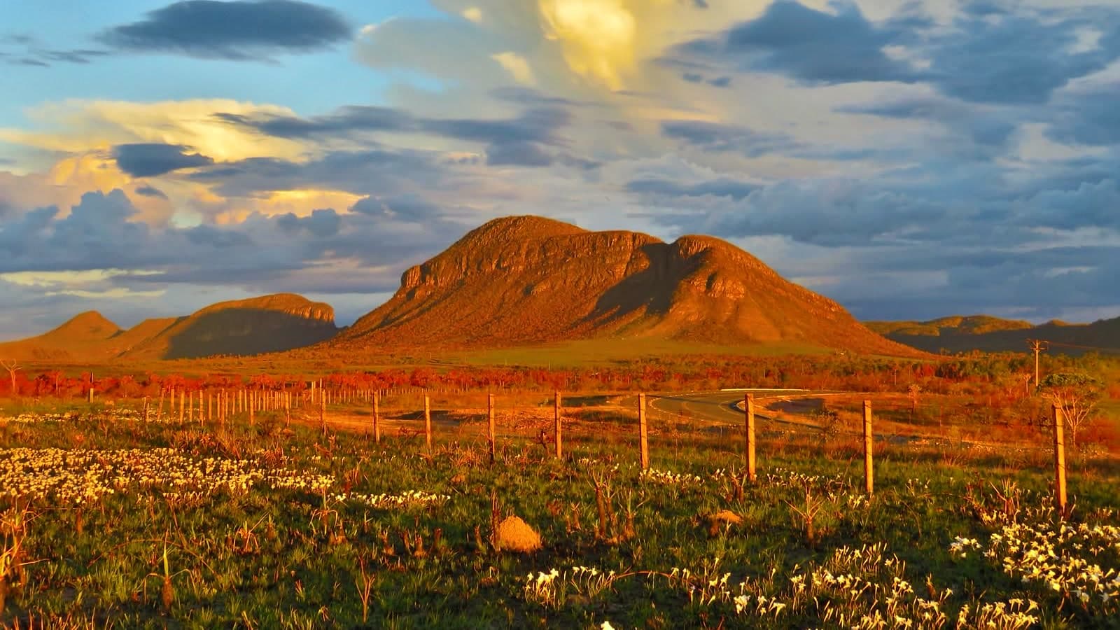 ViewpointMorro do Buracão≈ 3 km in a straight line
- ViewpointPico da Fogueira≈ 1.7 km in a straight line
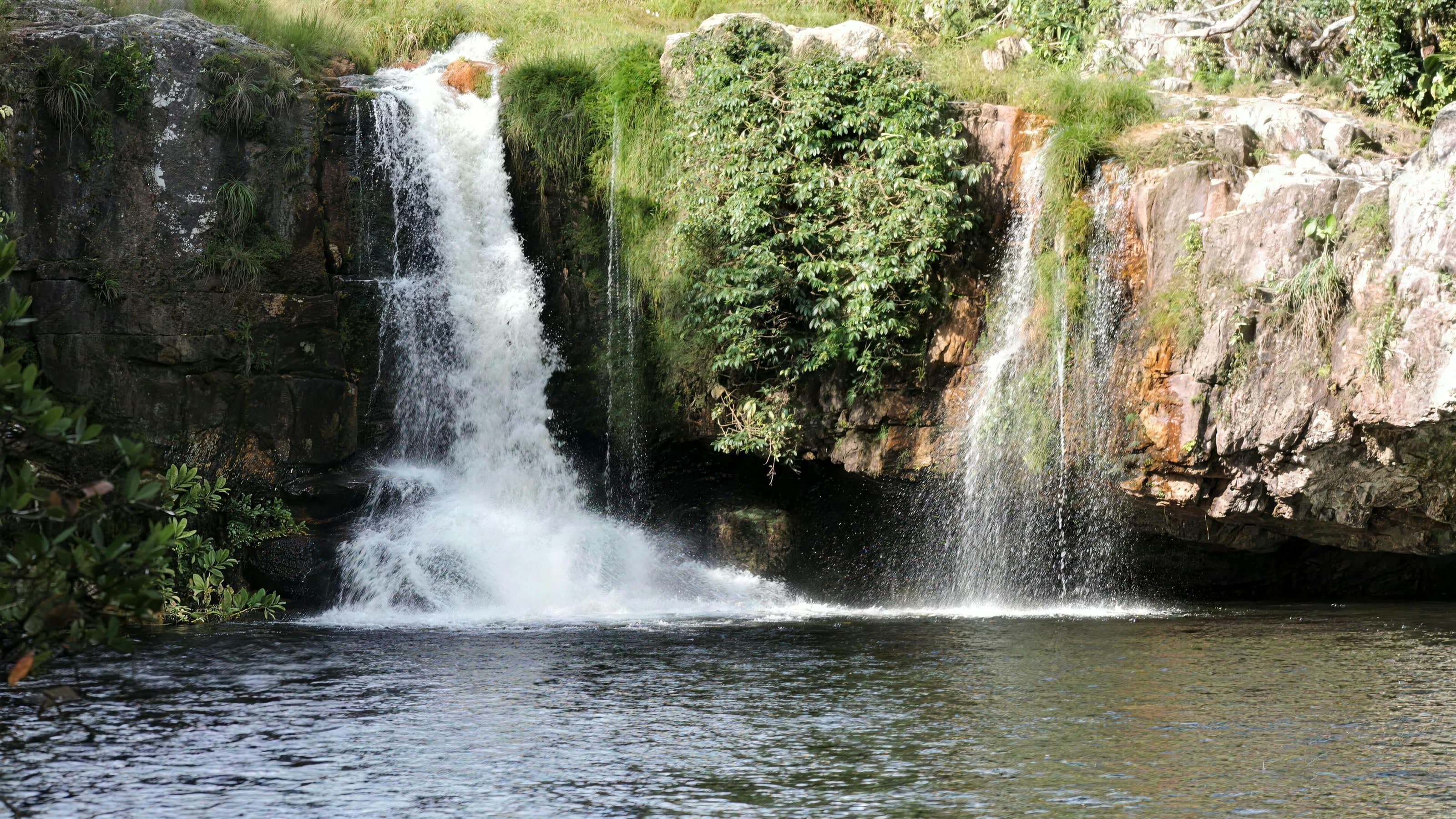 WaterfallCachoeira São Bento≈ 7.8 km in a straight line
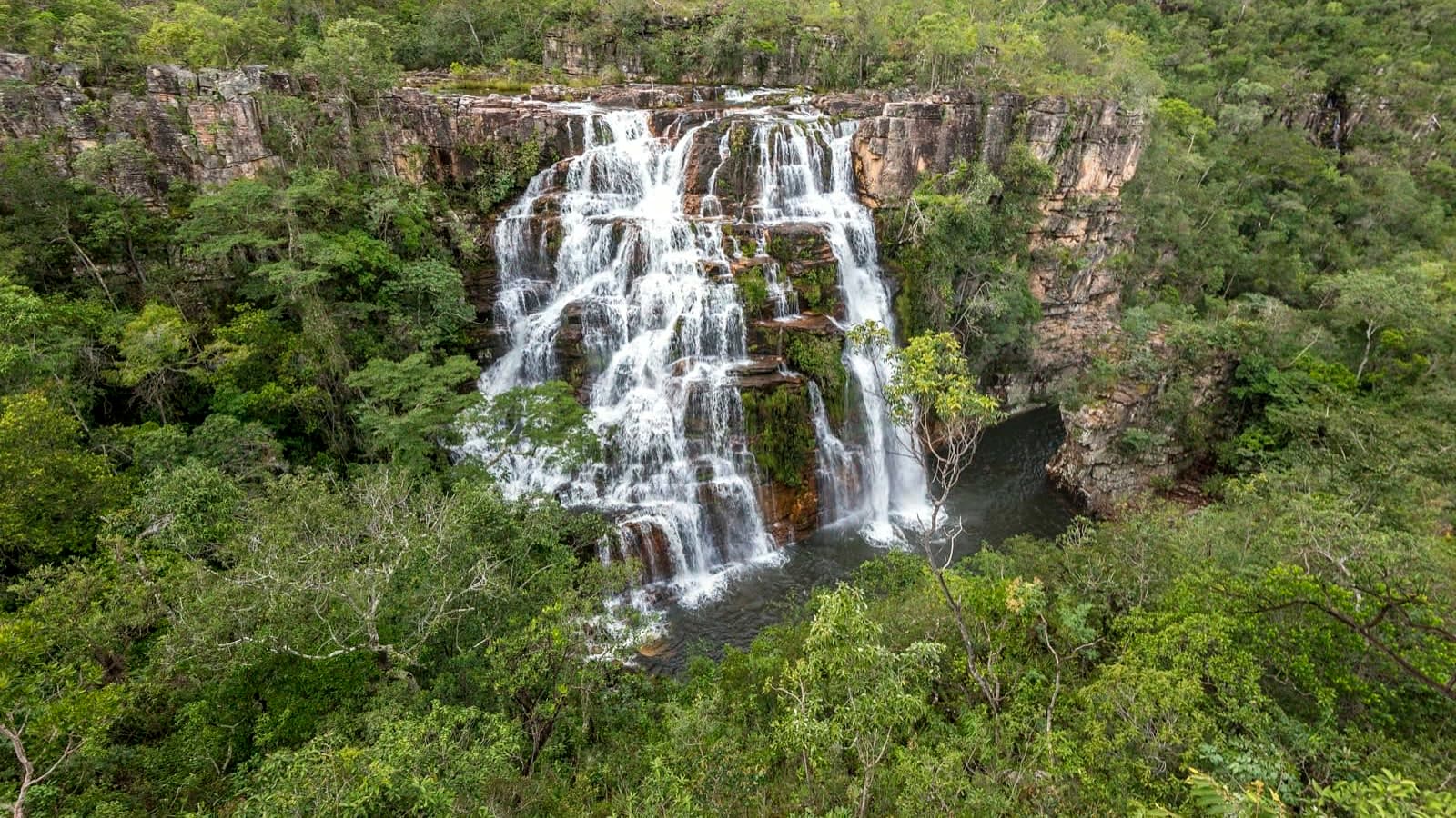 ComplexFazenda São Bento≈ 8 km in a straight line
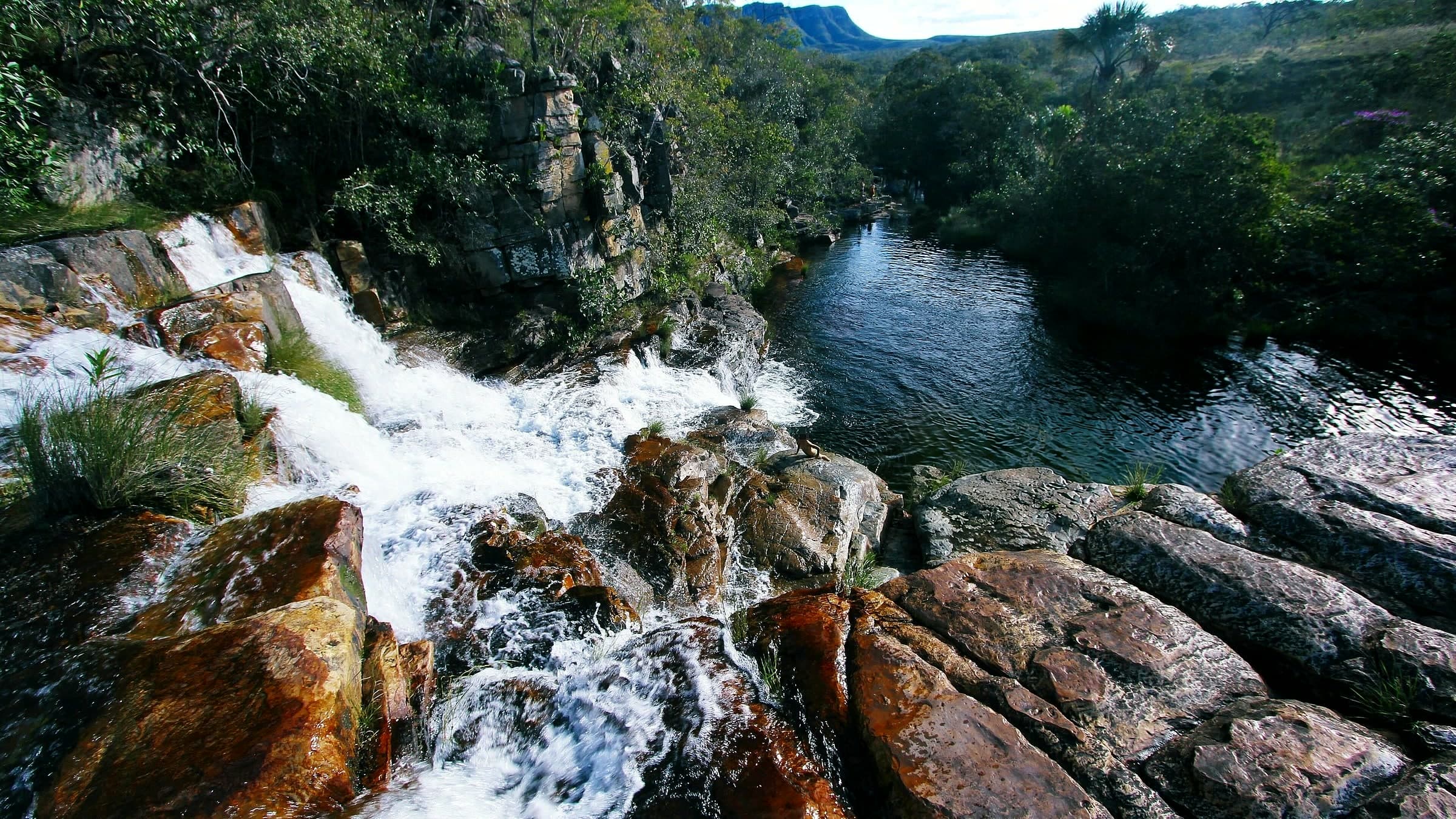 WaterfallAlmécegas II≈ 8.7 km in a straight line