CultureNear Alto Paraíso de Goiás
Aldeia Multiétnica
- Arriving by car
- Take care on the access road
- according to the guide
- Price paid
- The guide does not say
- no information yet
- Pets
- The guide does not say
- no information yet
- By car
- ≈ 20.1 km from Alto Paraíso de Goiás
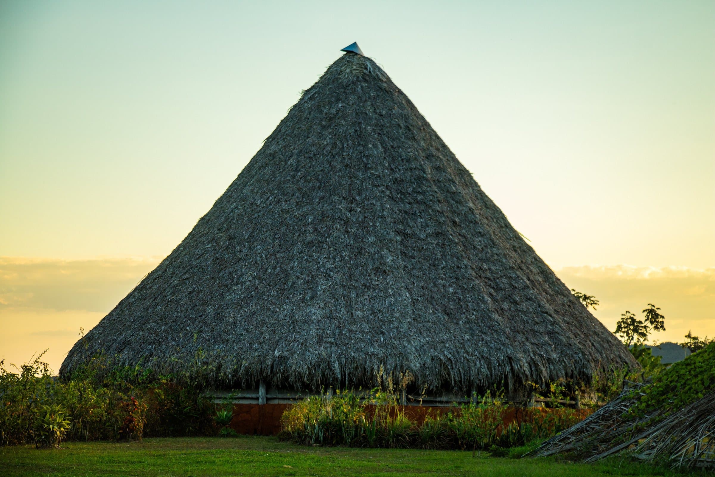
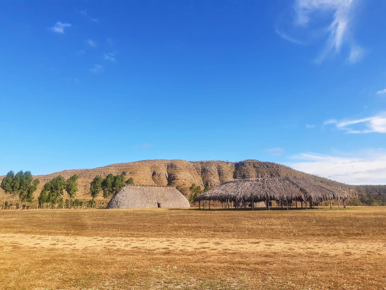
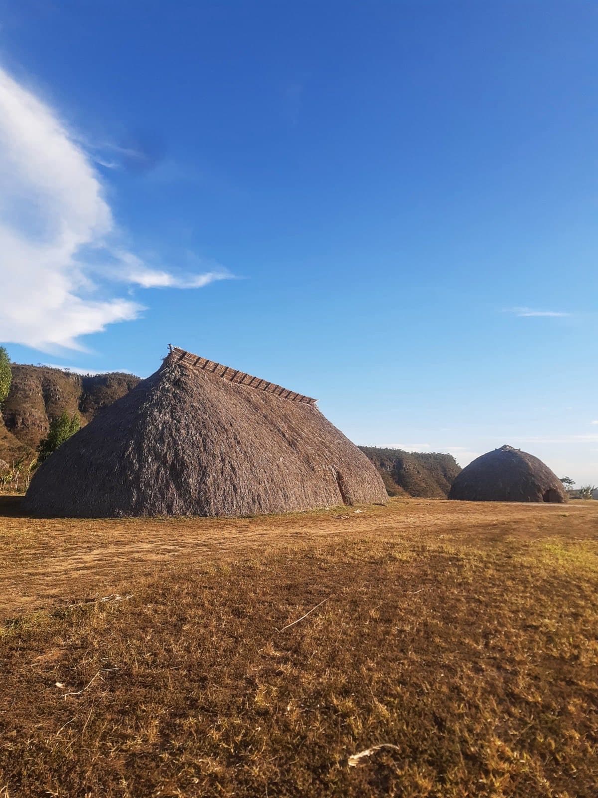
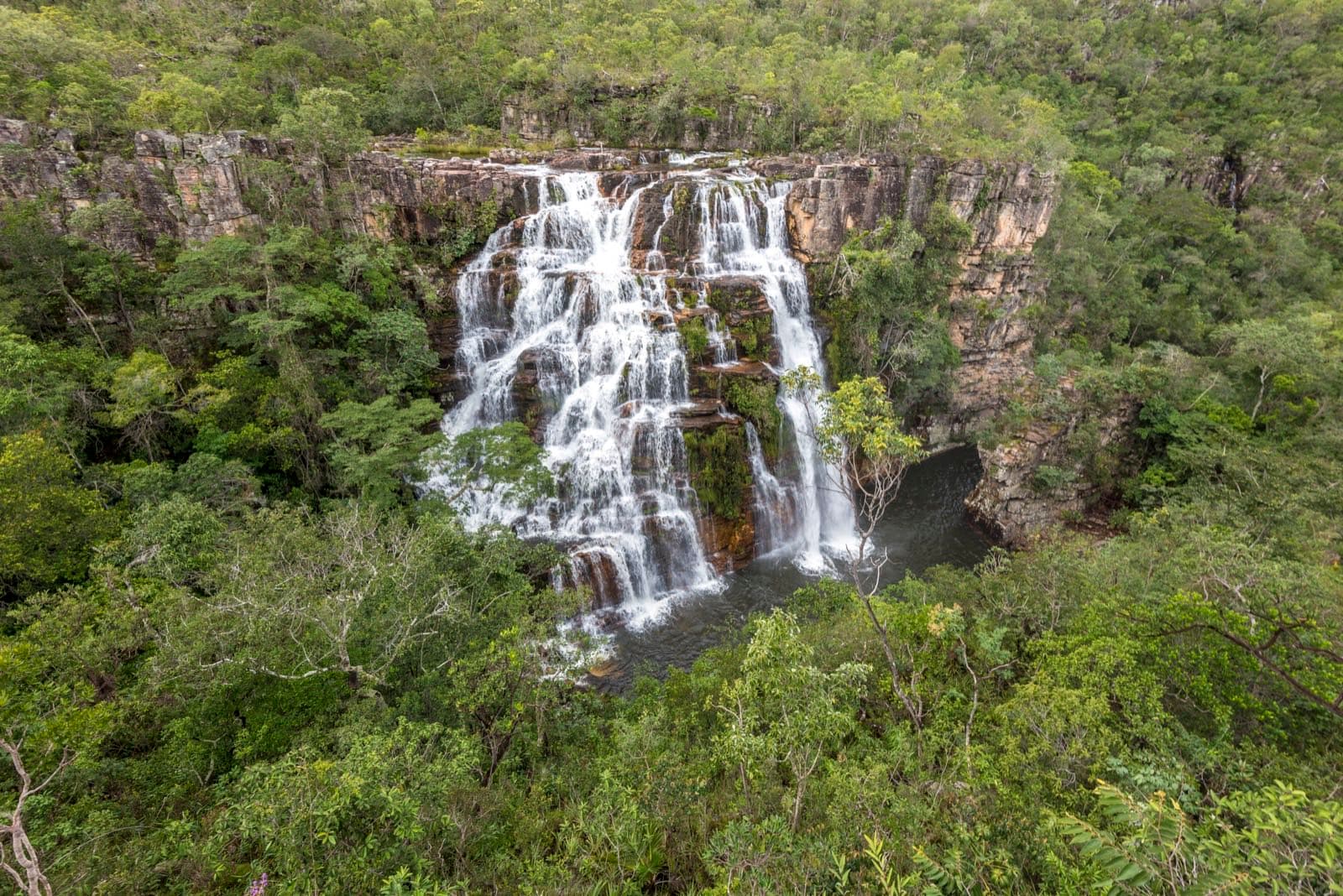
Image creditJunio AntunesCC BY-SA 4.0Wikimedia Commons
© Junio Antunes · CC BY-SA 4.0 · Wikimedia Commons
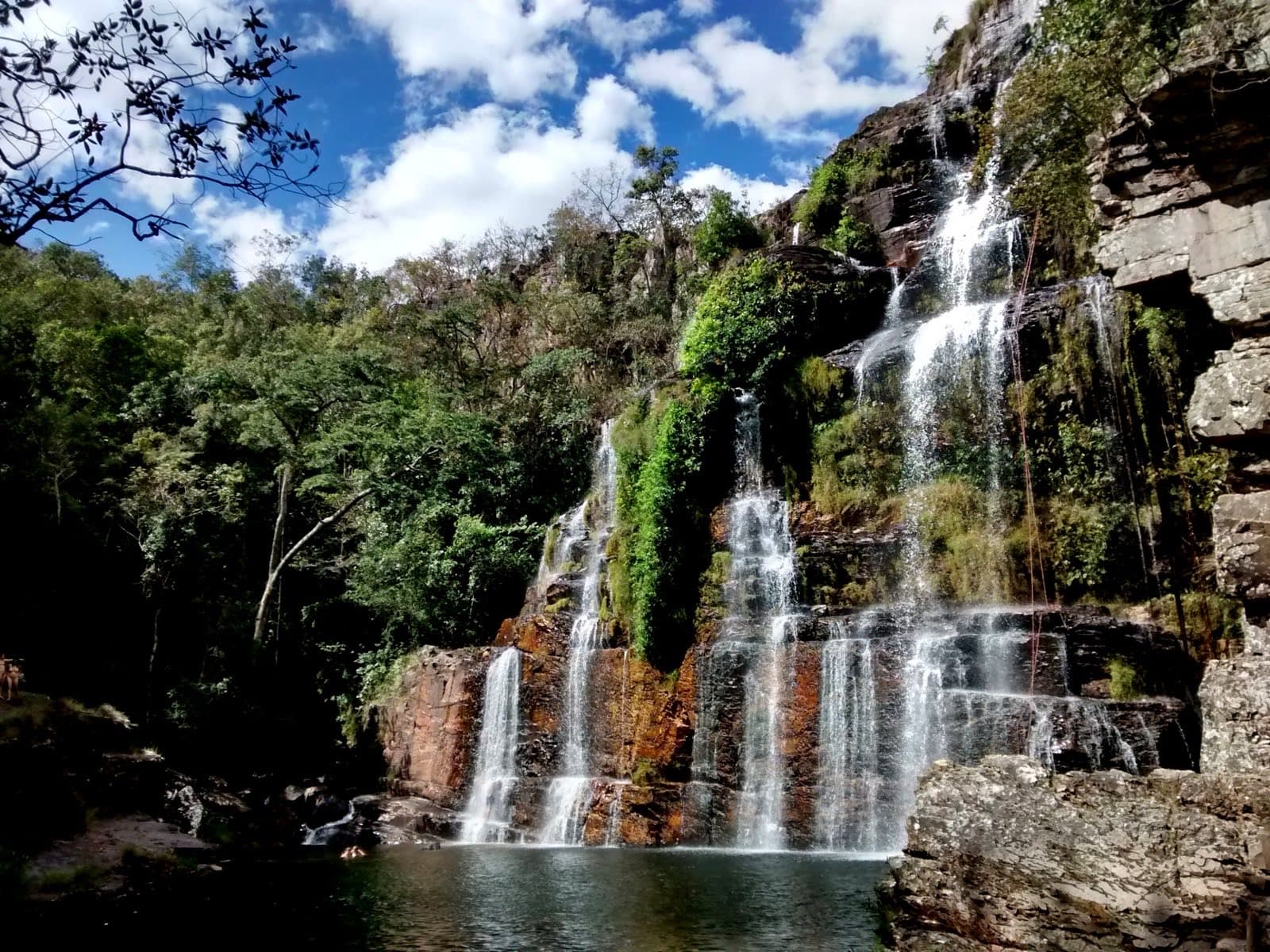
© Ariana Lima Arte · CC BY-SA 4.0 · Wikimedia Commons
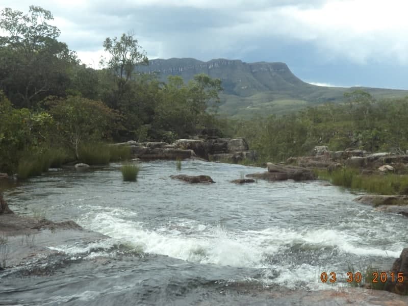
© Ariana Lima Arte · CC BY-SA 4.0 · Wikimedia Commons
Before you head out
Status today
Check today’s opening with the operator before you head out.
Weather at this place
Loading forecast…
When to go
Open year-round
Outside of events, the Aldeia welcomes visitors Thursday through Sunday. The 18th immersion has been announced for July 17 to July 25, 2026. Check hours and the program before your visit.
Plan your visit: Hours and program before your visit; taking part in houses and workshops depends on the mediation of those who share their knowledge.
Contact this place
Other channels
Other ways to find the place
Contact suggestions are reviewed by the curators before they appear here.
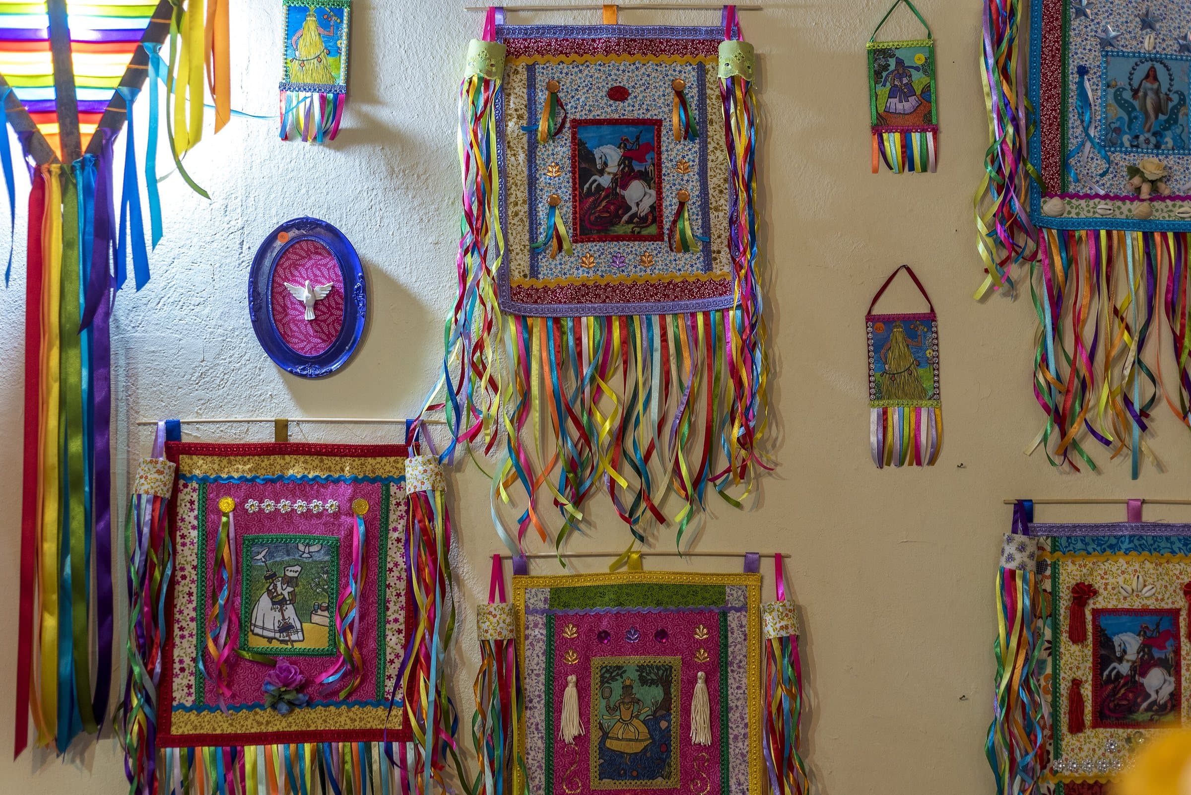
The Aldeia Multiétnica began in 2007 as a space for gathering, cultural exchange and political strengthening of Indigenous peoples and quilombola communities. The July immersions include houses related to peoples such as the Xavante, Yanomami, Krahô, Fulni-ô, Guarani Mbya, Kayapó/Mebêngôkre and the peoples of the Alto Xingu, as well as Kalunga participation.
The name may suggest a village permanently inhabited by all these peoples, but the space has a different purpose: hosting gatherings, educational activities, immersions and visitors according to its schedule. Visiting a house or joining a workshop should happen with the mediation of those who share their knowledge, without treating objects and practices as decoration free for anyone to use.
Outside of events, the Aldeia welcomes visitors Thursday through Sunday, with a mandatory guide for Almécegas II, Pajé and Caboclos and a self-guided option for Almécegas I. The access advertised by the Aldeia is separate from the usual Fazenda São Bento entrance. The 18th immersion has been announced for July 17 to July 25, 2026. Check hours and the program before your visit.
Before you go
It starts with what the guide researched and stays current thanks to visitors. Tap or hover over the votes to see how the community answered.
GuideCommunity
Arriving by car
according to the guideTake care on the access roadThere is a rural or dirt stretch, uneven ground, a long drive or incomplete information about the vehicle needed. This does not mean 4×4 is required.Hiking effort
no information yetThe guide does not sayPrice paid
no information yetThe guide does not sayPets
no information yetThe guide does not sayWe have not found a confirmed public policy for this visit. Contact the operator before bringing your pet.
Kids
no information yetThe guide does not sayLocal guide
according to the guideGuide required
Prices and bookings
Confirm the price and what is included when booking.
Guiding
Guided visits, by appointment. Arrange the circuit and the visit to Cachoeira dos Caboclos.
When to go · according to visitors
| Month | Answers | Recommended by the guide | Rainy season |
|---|---|---|---|
| January | — | No | Yes |
| February | — | No | Yes |
| March | — | No | Yes |
| April | — | No | Yes |
| May | — | No | No |
| June | — | No | No |
| July | — | No | No |
| August | — | No | No |
| September | — | No | No |
| October | — | No | No |
| November | — | No | Yes |
| December | — | No | Yes |
- Rainy season (November to April): more rain and a higher risk of flash floods.
Opening times
Visits Thursday through Sunday outside of events, according to the Aldeia's page (Update).
Getting there
Approximate driving distances · Aldeia Multiétnica, Alto Paraíso de Goiás
- Vila Infinitoby way of São Jorge≈ 56.2 kmRoute
- São Jorgemeasured on Google Maps≈ 54.1 kmRoute
- Alto Paraíso de Goiásmeasured on Google Maps≈ 20.1 kmRoute
- CavalcanteOpenStreetMap estimate≈ 107.4 km≈ 2 h 06Route
Estimated times without stops; dirt stretches usually take longer.
Four fixed bases: Vila Infinito and the centers of São Jorge, Alto Paraíso de Goiás and Cavalcante. Routes measured on Google Maps where available; where the route passes through a measured base, the leg to it is added; the rest are OSRM / OpenStreetMap estimates. Where no distance is shown, the link opens the route on Google Maps. Walking trails are not included.
Distance sources
Routes checked on Google Maps; the distance varies with the route chosen. Checked on Sep 15, 2026.
Bases whose route passes through another measured base: the OSRM / OpenStreetMap leg to it plus the Google Maps route. Checked on Sep 15, 2026.
Road estimates: OSRM / OpenStreetMap. Maps may suggest a different route. Checked on Oct 5, 2026.
Access source ↗The road, as visitors found it
In the guide: Arrival via Vale Verde, with about 5 km of pavement and 14 km of dirt road from Alto Paraíso. Confirm a suitable car and the Aldeia's entrance gate, which is different from the Fazenda São Bento entrance.
Contact this place
Other channels
Other ways to find the place
Contact suggestions are reviewed by the curators before they appear here.
Tips from visitors
Photos from visitors
The place, the terrain and the trails
Where to arrive and start · Aldeia Multiétnica · arrival at the property. Access via Estrada do Vale Verde. Arrange the visit with the staff and go to the reception; this arrival point is different from the Fazenda São Bento entrance gate.
See the point, its directions and source
The green markers show where to start the visit. Check each point’s type: a property reference marks the establishment, not the parking spot or the exact trailhead.
Property reference
Aldeia Multiétnica · arrival at the property
Access via Estrada do Vale Verde. Arrange the visit with the staff and go to the reception; this arrival point is different from the Fazenda São Bento entrance gate.
Location reference · checked Sep 15, 2026. Follow local signs when you arrive.
Community routesSearch routes published on WikilocView routes and elevation
Community routes
Visitor recordings on Wikiloc help you get to know the route and its stops. Measurements are approximate and belong to the recorded track; elevation gain adds up the climbs or descents. Difficulty is the author’s own rating and may differ from the guide’s classification. Check current conditions with the attraction’s operator.
To overlay a route on the map above, download its GPX file from Wikiloc and open it in “Overlay a GPX trail”. Wikiloc may require you to log in to download the file.
Search Google for Aldeia Multiétnica routes published on Wikiloc ↗