Food
Restaurante Lamirah
MoreLess: Restaurante Lamirah
Rua Borba Gato, 16 — Centro
Call Restaurante Lamirah: +55 61 98133-0533Call Restaurante Lamirah: +55 62 3494-1219Search Google for @lamirahcozinhaarabe
Reviews of Restaurante Lamirah
A guide to Chapada dos Veadeiros made by Vila Infinito and Pousada Camarás
 Passaporte Veadeiros
By town
On the map
One map: from afar, the clouds right now; up close, every place in 3D, with trails, weather and what the guide records.
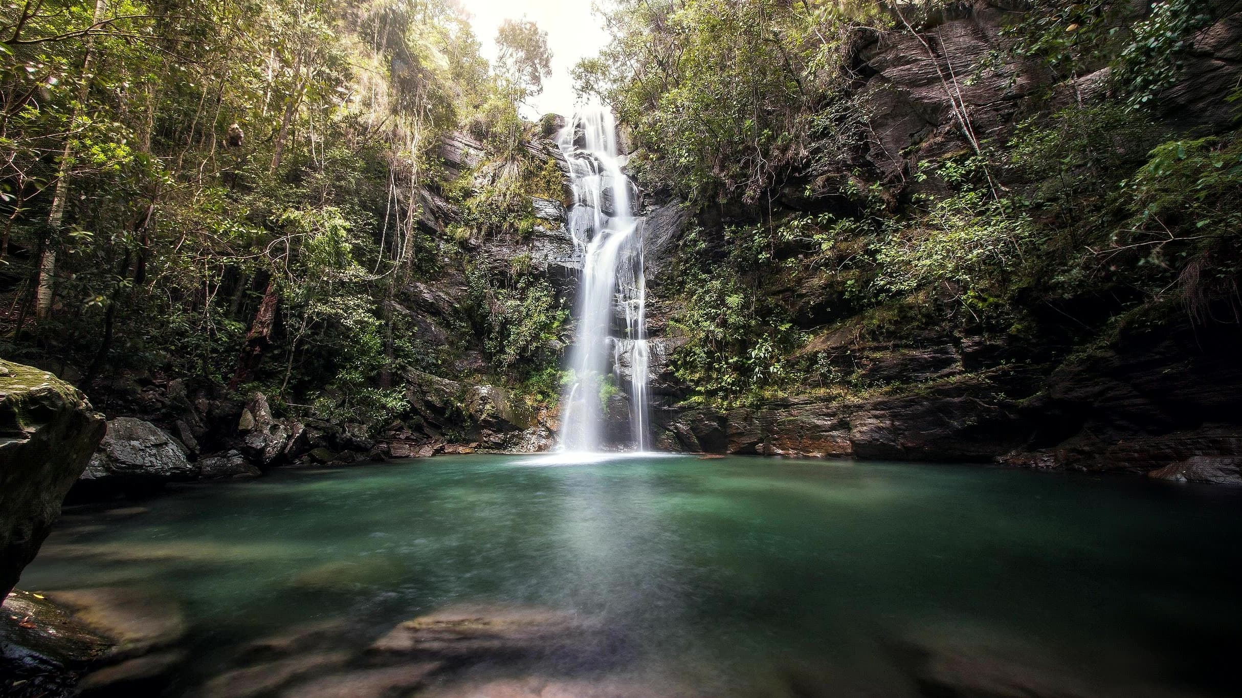
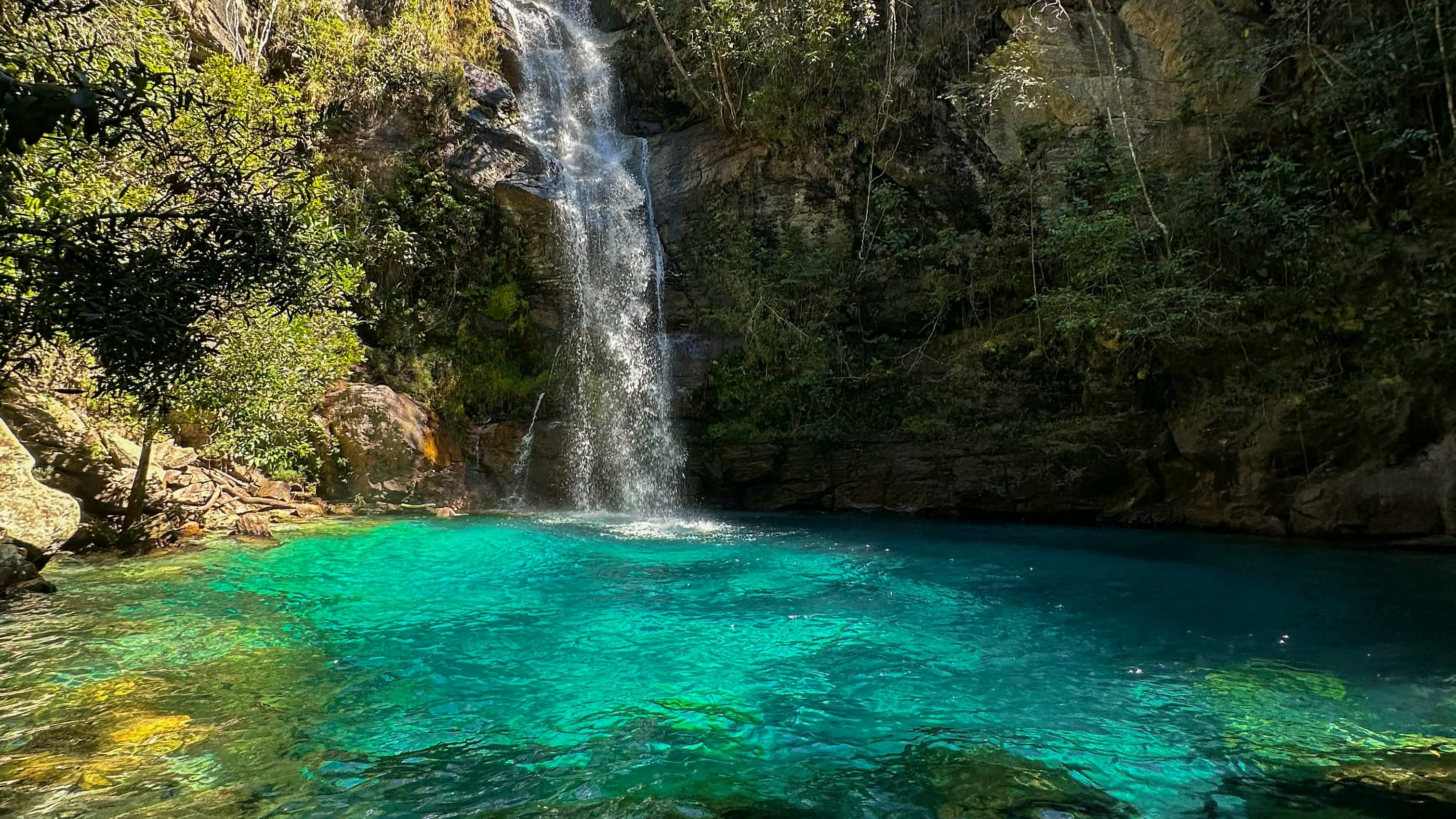 WaterfallCachoeira Santa Bárbara
 Image credit: Carlos Ebert from São Paulo, BrazilGRU · CC BY 2.0Towns and villagesCavalcante
Know before you go
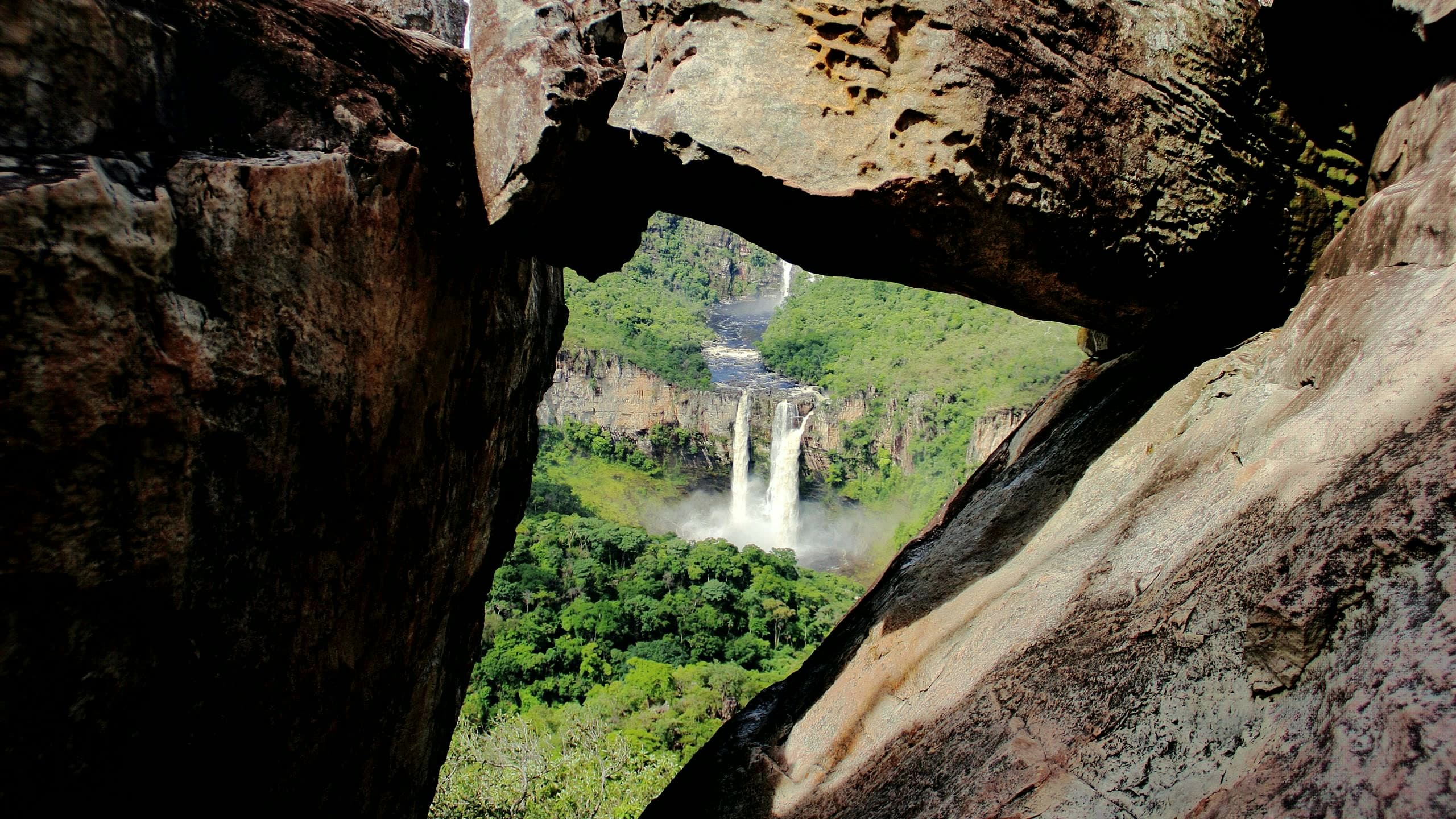 ViewpointMirante da Janela
Local services
Who makes this guide
Between Vila de São Jorge and the Bar do Mirante, on the access road to the Parque Nacional da Chapada dos Veadeiros, west of the village and north of the GO-239.
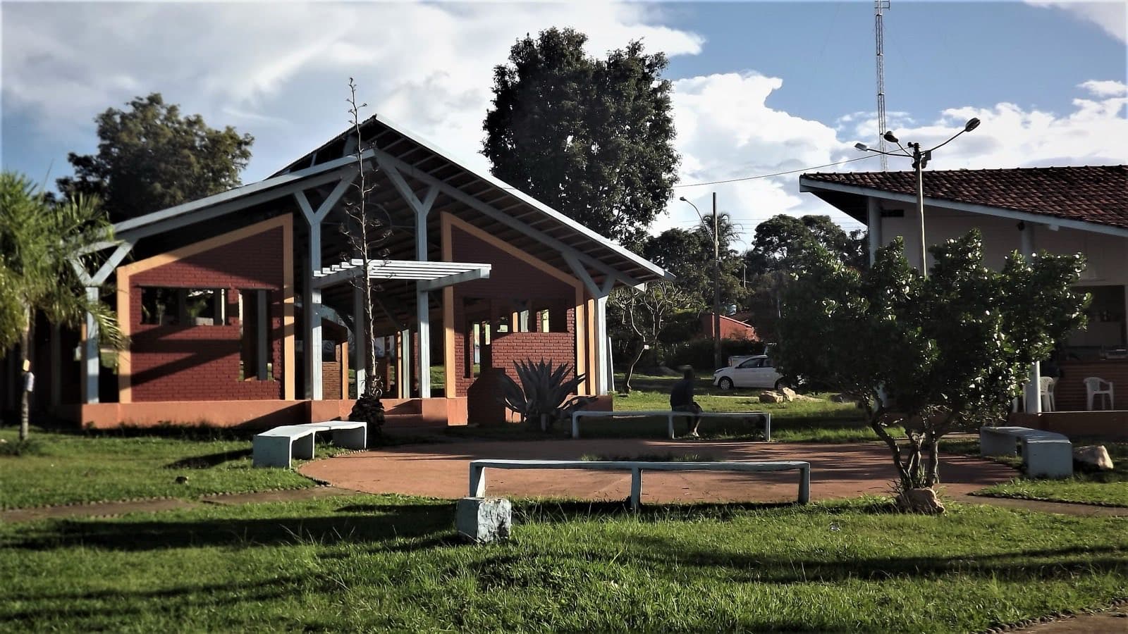 Image credit: Emeric Kalil · CC BY-SA 4.0Towns and villagesVila de São Jorge
Community
Your passport
Stamps, points and your “Want to go” list, saved to your passport (Google sign-in).
Cavalcante has a wide range of attractions and is home to quilombola territory. The climate is warm all year, and the local culture stands out to anyone passing through.
Cavalcante was born of the eighteenth-century gold cycle. Julião Cavalcante, in 1736, and Francisco Cavalcante, in 1740, are linked to the exploitation of the Córrego Lava-Pés and the Serra da Cavalhada. Mining and the labor of enslaved people drove the formation of the settlement.
The most intense period of mining lasted approximately half a century. In 1794, a smelting house was moved from São Félix to Cavalcante, where it operated until 1806. With the decline of gold, livestock raising, farming and movement between communities sustained life in the region.
Today, Cavalcante is a base for visiting the communities of the Território Kalunga, nearby waterfalls and more distant circuits, such as the Prata and the area along the border with Tocantins. Set aside time to get to know the town and talk with residents. On rural roads, travel time depends on the road surface, the rain and the vehicle, as well as the distance.
Visitor service, with information about tours, local guides and the area.
Home to Cavalcante crafts, marked on the municipal map. To see the local work, ask at the visitor service.
A space created by Kalunga women to preserve the memory, culture and ancestral knowledge of their people.
A BRIVAC museum about the Cerrado and its relationship with fire, focused on environmental education and awareness.
A Catholic church dedicated to Saint Anne, in central Cavalcante, next to Praça Diogo Cavalcante.
A municipal park in Cavalcante, marked on the way out of the urban area. Confirm access and visiting conditions.
A Kalunga quilombola community and the organizing point for visits to waterfalls such as Santa Bárbara and Capivara.
Places without a confirmed location open a Google Maps search by name and town.
Explore the numbered places
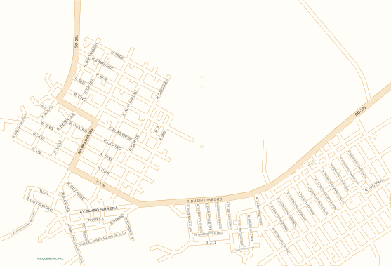
Tap or hover over a place on the map or in the list to learn more. You can also use Tab.
Streets and positions: VisitVeadeiros municipal map. Numbers match the list; arrows point to places outside the map area.
Not on this map:
5. Paróquia Sant’Ana ↗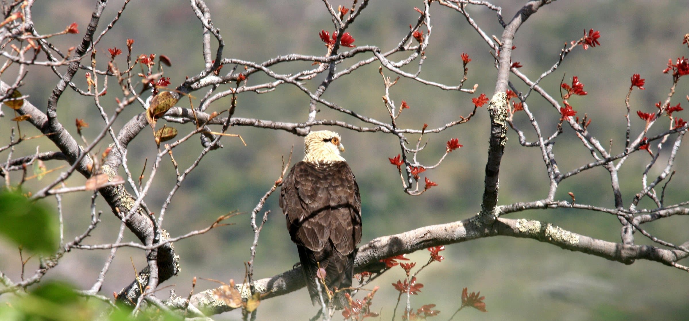
Image credit: Marcia Fatima Quevedo ZizziCC BY-SA 4.0
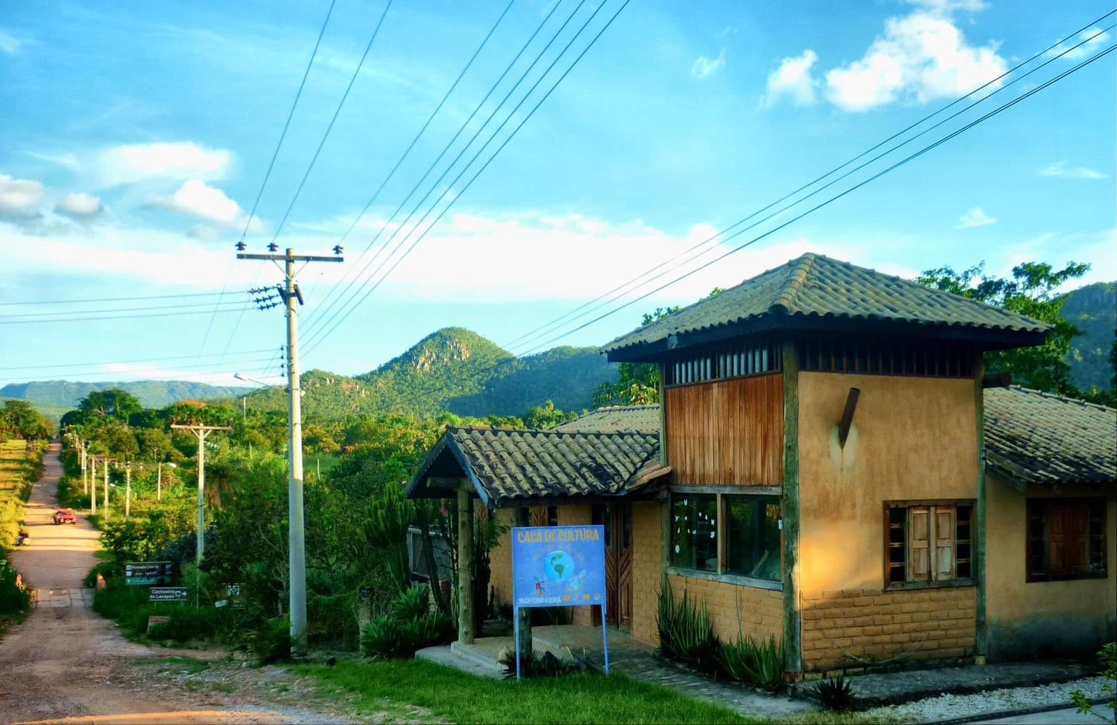
Image credit: Daniel Poletti S.CC BY-SA 2.0
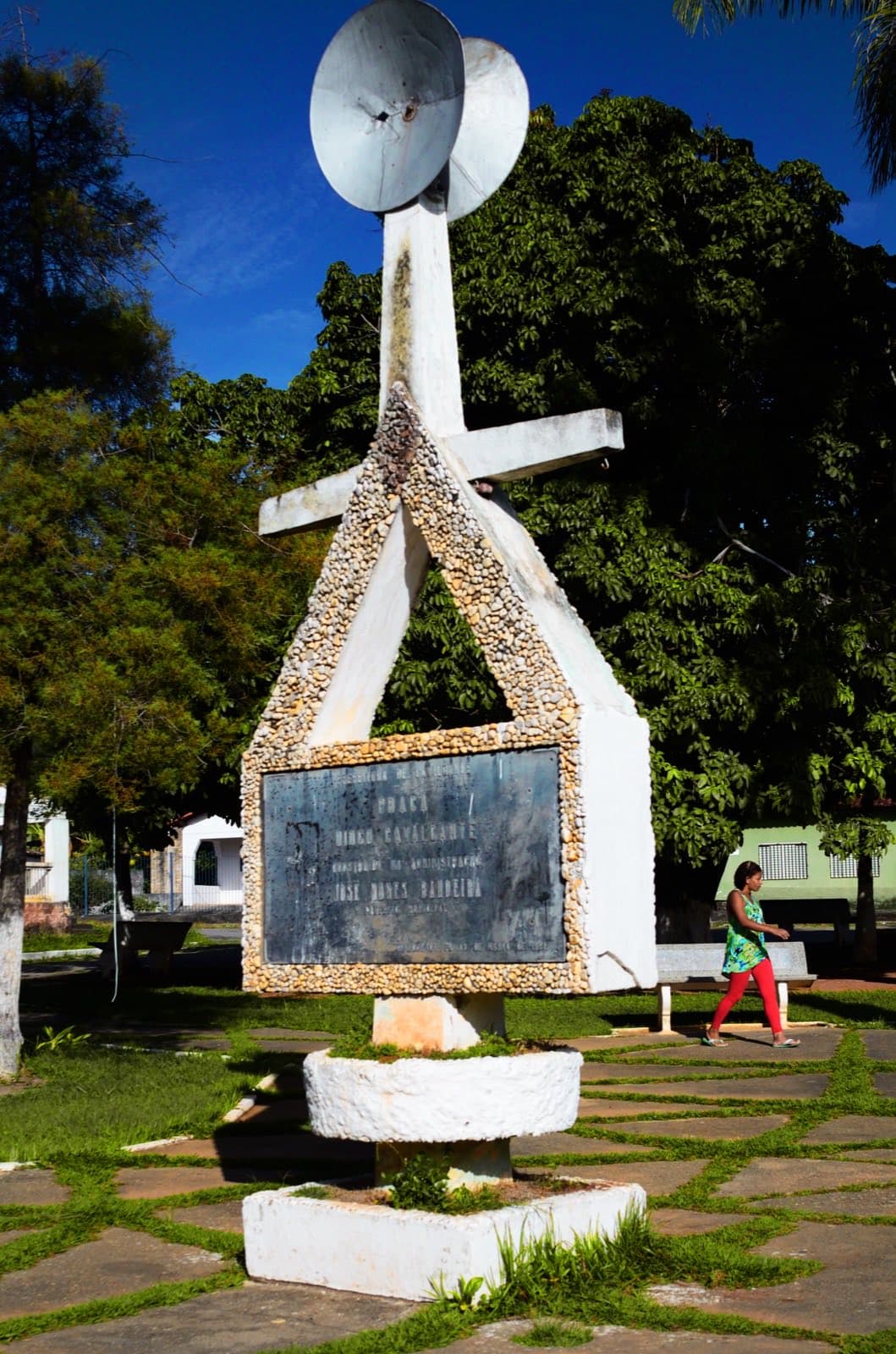
Image credit: Carlos EbertCC BY 2.0
Food
Rua Borba Gato, 16 — Centro
Reviews of Restaurante Lamirah
Cafés and bakeries
Coffee shop and restaurant
Av. Silvino Ferreira da Silva, s/n (dentro da Casa do Artesão)
Reviews of Flor de Café
Brewery
Estrada Cavalcante a Colinas do Sul, km 01
Reviews of Cervejaria Artesanal Aracê
Tours
Travel agency
Fazenda Rio de Pedra, lote 44
Reviews of De Bike na Chapada
Attractions
Natural attraction
Daily, 8am–6pm · confirm before you go
76 km de Cavalcante-GO
Reviews of Complexo do Boqueirão
Shops
Natural products store
Rua do Rosário, 225 — Centro
Reviews of Armazém Grão do Cerrado
Chapada dos Veadeiros: a protected area for rare and endemic species of Cerrado flora and fauna.
For your safety: hire a local guide.
Natural Heritage of Humanity — UNESCO since 2001
Voted the best national park in Brazil twice by TripAdvisor
More than 120 in Alto Paraíso de Goiás alone, according to the VisitVeadeiros map