
Culture
Vão do Moleque
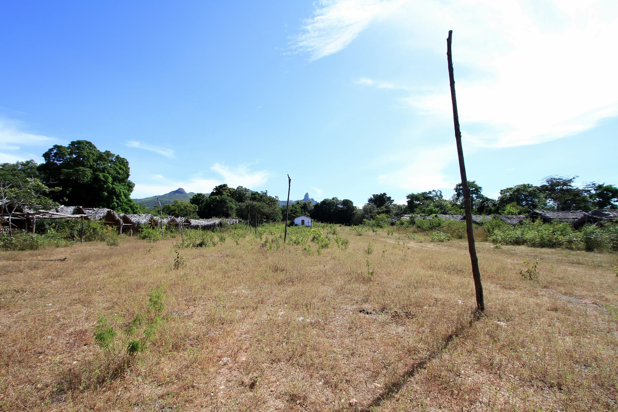
© Adelano Lázaro · Public domain · Wikimedia Commons
Chapel at Vão do Moleque, Cavalcante, Goiás, Brazil.
- Arriving by car
- No information yet
- no data
- Price paid
- No information yet
- no data
- Pets
- No information yet
- no data
- By car
- ≈ 119.4 km from Cavalcante
- ≈ 3 h 34
Before you head out
Status today
Check today’s opening with the operator before you head out.
Weather at this place
Loading forecast…
How to visit respectfully
- The association organizes experiences and tours with a Kalunga local guide.
Contact this place
What’s inside
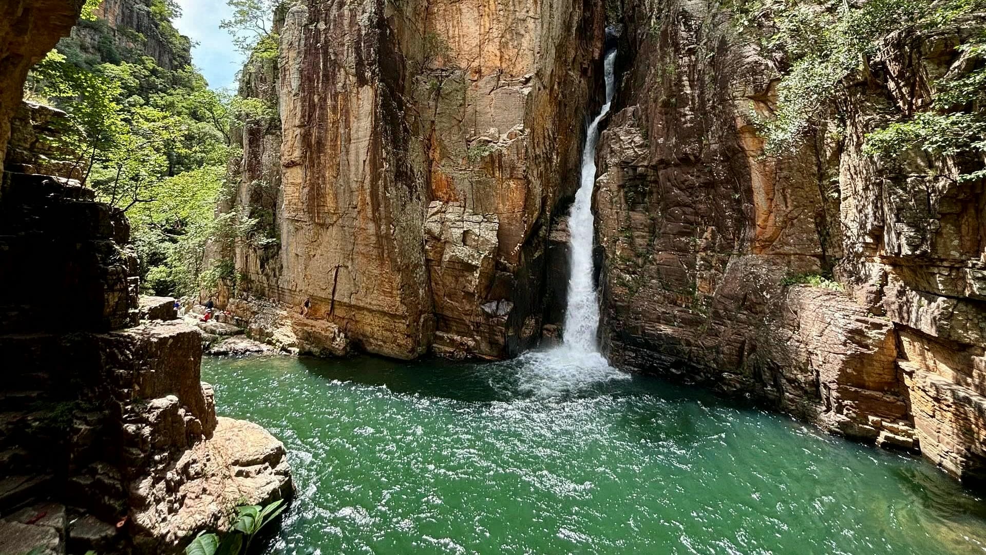
Vão do Moleque is a community in the Kalunga quilombola territory, in the Cavalcante area. Community-based tourism brings visitors closer to the landscapes, food, celebrations and knowledge of the people who live in the territory.
The association organizes experiences and tours with a Kalunga local guide. Confirm the itinerary, availability, transportation and what is included in the booking. Waterfall visits and multi-day treks are separate activities, each with its own logistics.
Before you go
Our team checked these values first; visitors keep them current. Tap the votes to see how visitors answered.
Pets
no dataNo information yetWe have not found a confirmed public policy for this visit. Contact the operator before bringing your pet.
No information yet: road, price per person, kids, local guide, and best time
Getting there
Approximate driving distances · Vão do Moleque community
- Vila InfinitoOpenStreetMap estimate≈ 246.7 km≈ 5 h 42Route
- Pousada Camarásestimate from published segments≈ 149.8 kmRoute
- São JorgeOpenStreetMap estimate≈ 244.6 km≈ 5 h 36Route
- Alto Paraíso de GoiásOpenStreetMap estimate≈ 209.3 km≈ 5 h 04Route
- CavalcanteOpenStreetMap estimate≈ 119.4 km≈ 3 h 34Route
Estimated times without stops; dirt stretches usually take longer.
Approximate driving distances for Vila Infinito, Pousada Camarás and the centers of São Jorge, Alto Paraíso de Goiás and Cavalcante where a reliable arrival point is mapped. Some routes were checked in Google Maps; the others are OSRM / OpenStreetMap estimates. Where no distance is shown, the link opens the route in Google Maps. Walking trails are not included.
Estimate by road segments: drive to the base town or community plus the published access distance. Confirm the final arrival point with the operator. Checked on Oct 20, 2026. Distance sources ↗
Distance sources
Road estimates: OSRM / OpenStreetMap. Maps may suggest a different route. Checked on Oct 24, 2026.
Arrival point source ↗The road, as visitors found it
Contact this place
Tips from visitors
Photos from visitors
The place and the terrain
Where to arrive and start · Vão do Moleque community. Kalunga community point on OpenStreetMap, not a reception. The road is long and unpaved: arrange the visit and vehicle with the association or a local guide.
See the point, its directions and source
The green markers show where to start the visit. Check each point’s type: a property reference marks the establishment, not the parking spot or the exact trailhead.
Property reference
Vão do Moleque community
Kalunga community point on OpenStreetMap, not a reception. The road is long and unpaved: arrange the visit and vehicle with the association or a local guide.
Location reference · checked Oct 24, 2026. Follow local signs when you arrive.