CultureNear Cavalcante
Kalunga Village
- Arriving by car
- The guide does not say
- no information yet
- Price paid
- The guide does not say
- no information yet
- Pets
- The guide does not say
- no information yet
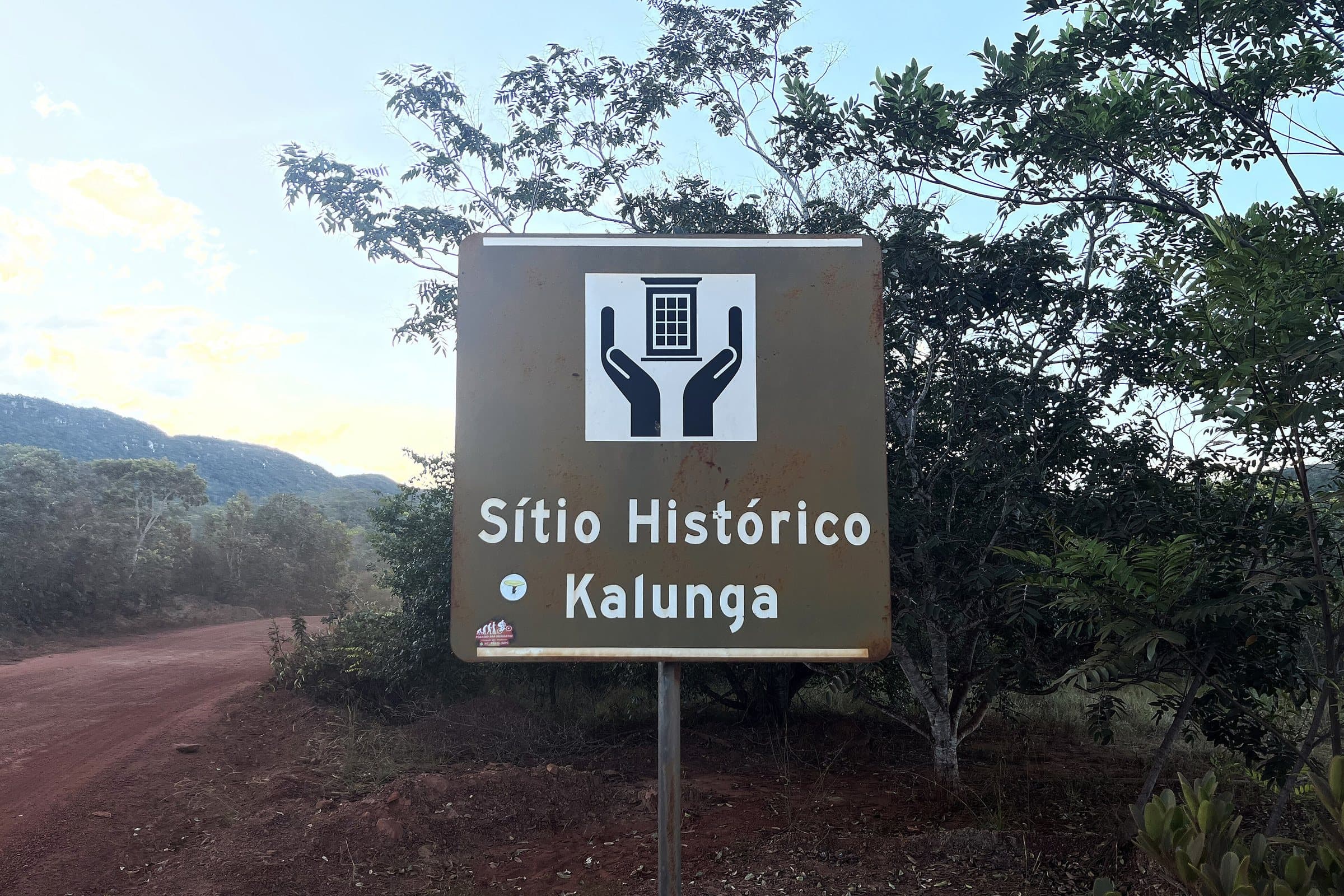
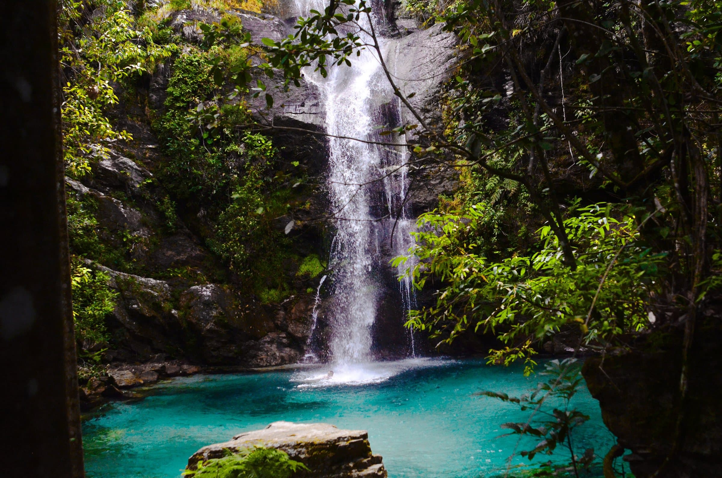
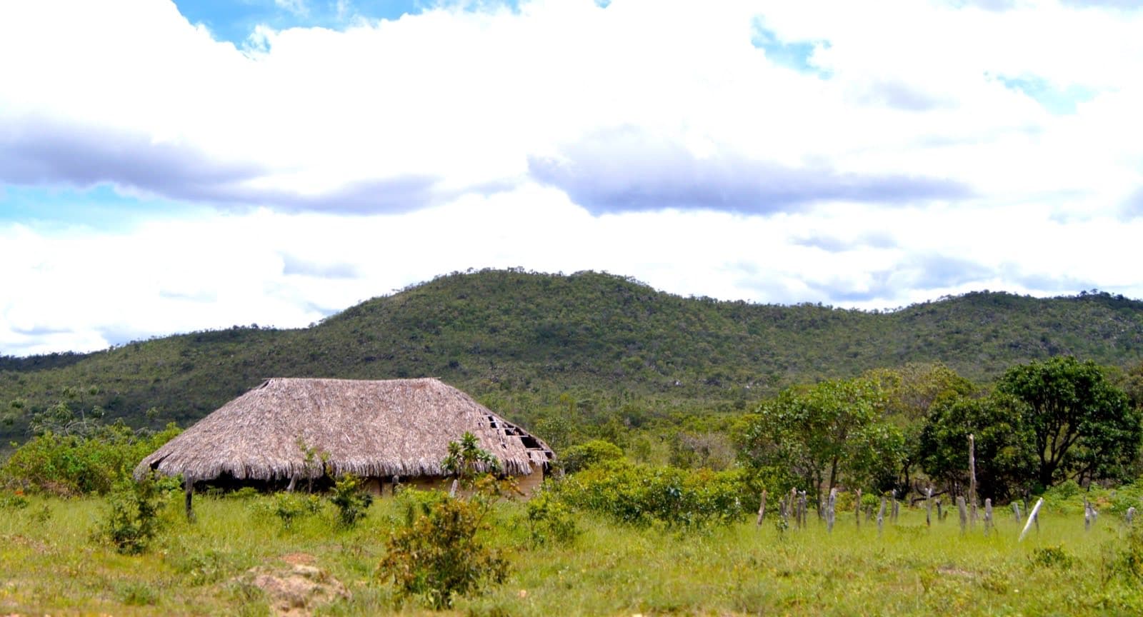
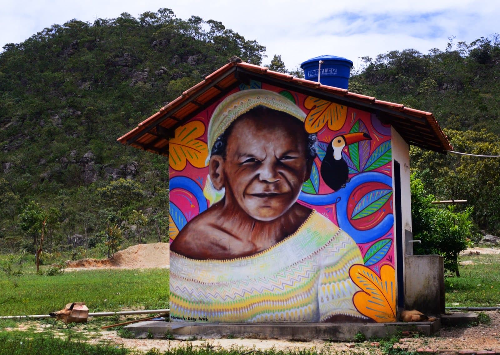
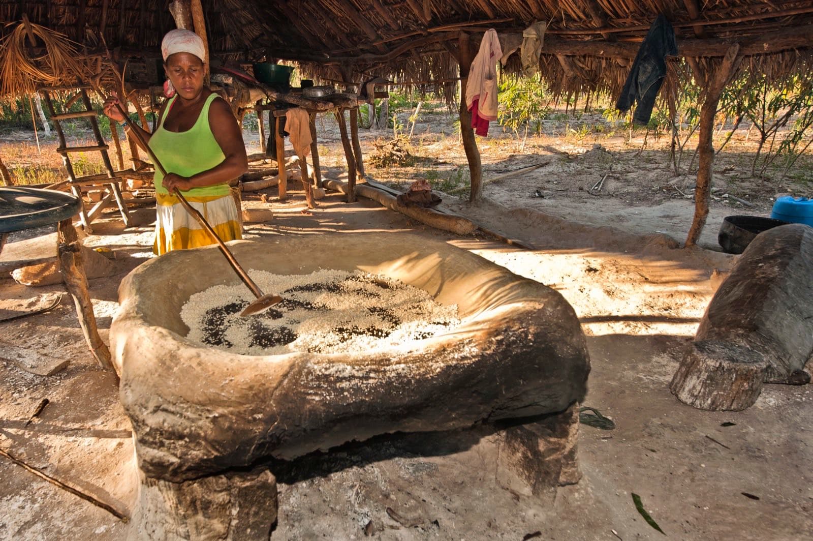
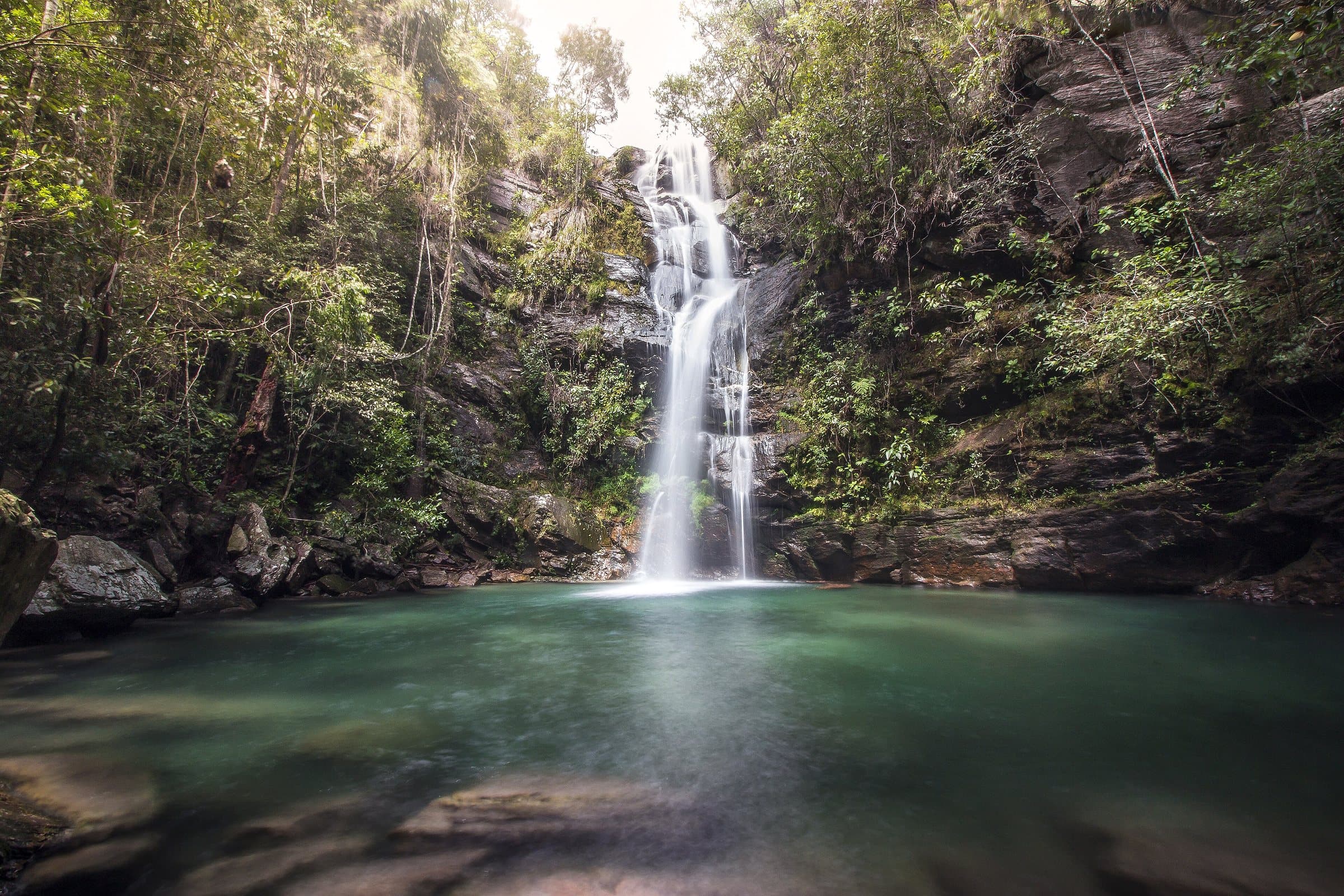
Image creditEdnei Fialho LopesCC BY-SA 4.0Wikimedia Commons
© Ednei Fialho Lopes · CC BY-SA 4.0 · Wikimedia Commons
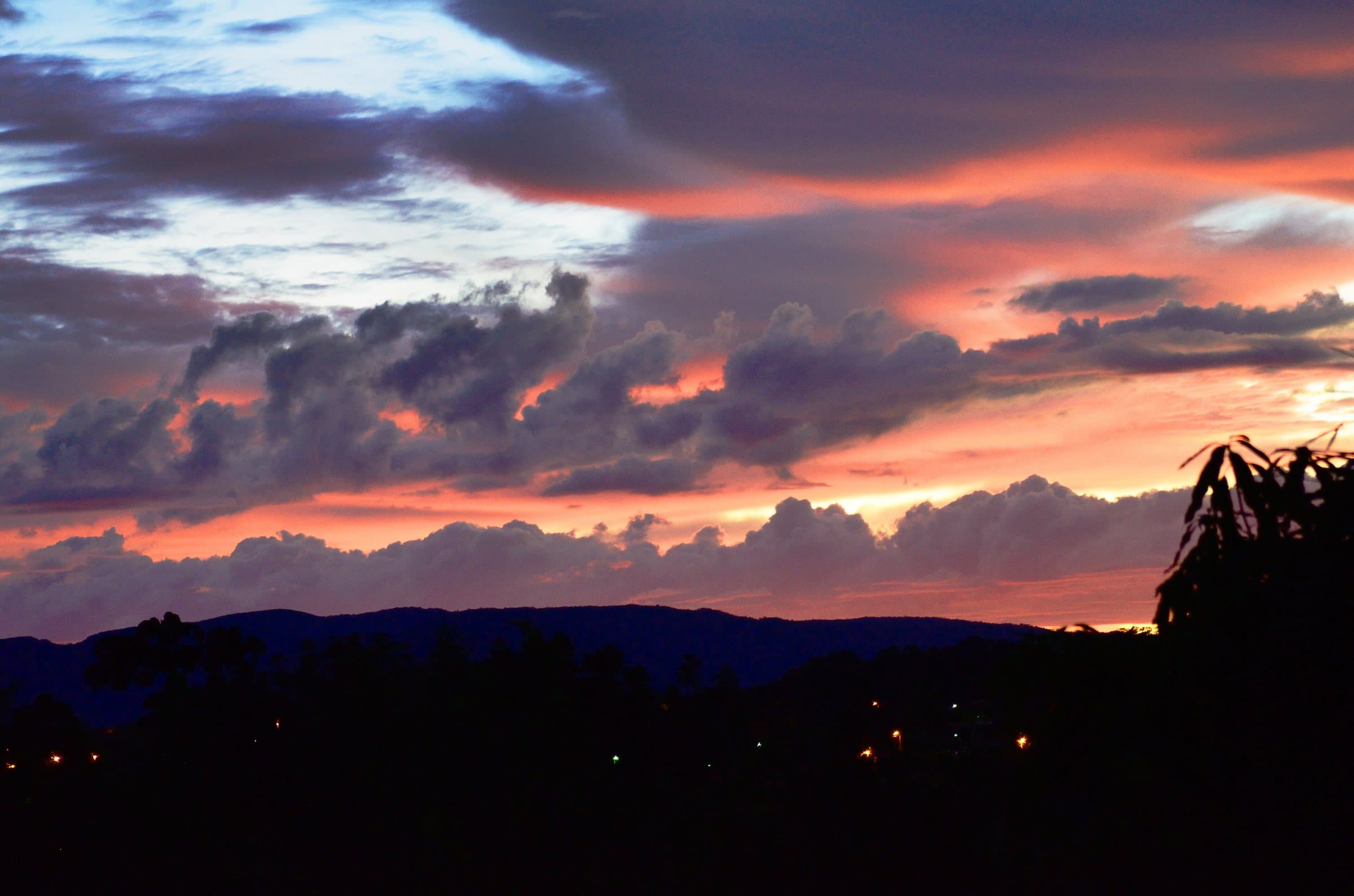
© Carlos Ebert from São Paulo, BrazilGRU · CC BY 2.0 · Wikimedia Commons
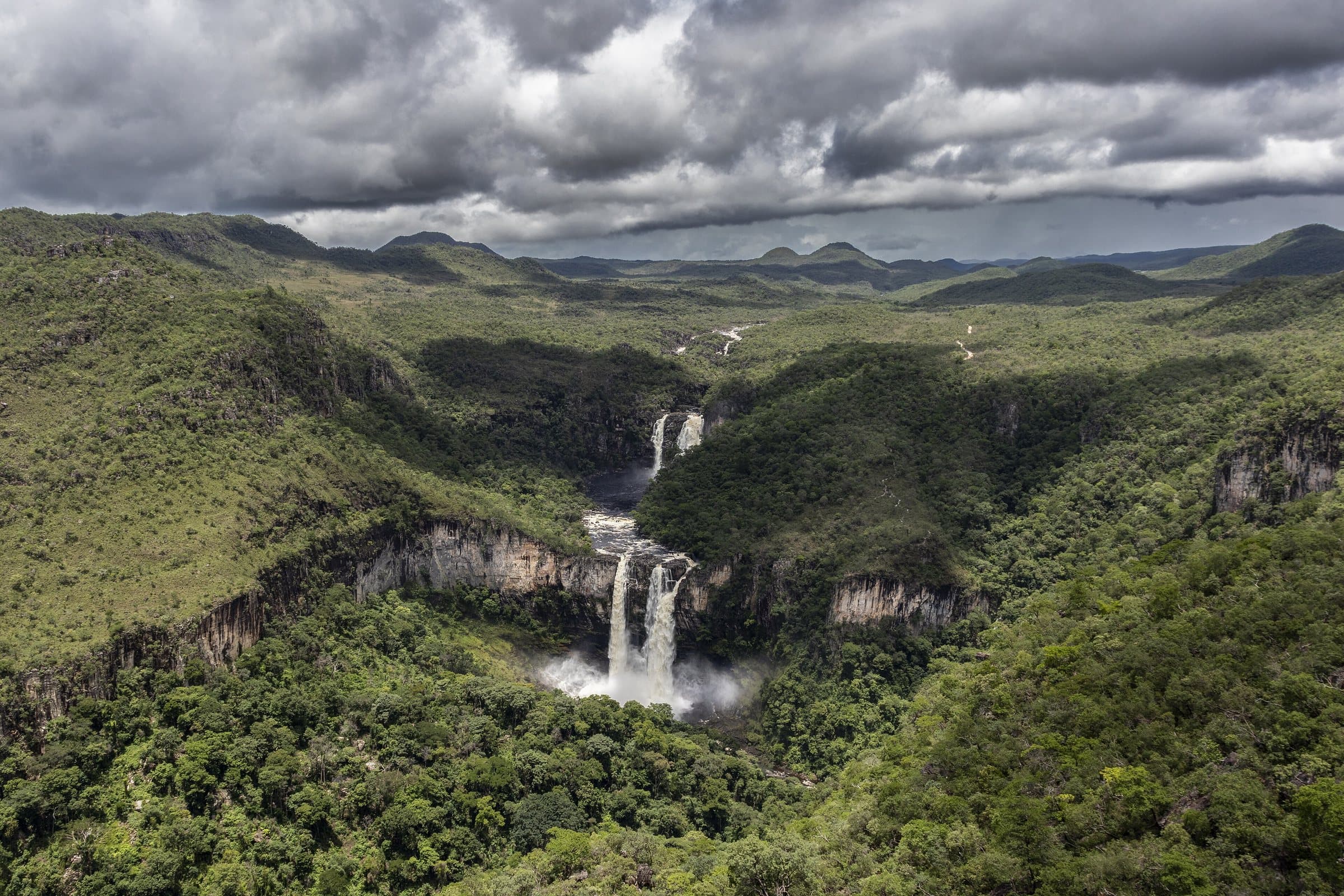
© João Carlos SC Barreto · CC BY-SA 4.0 · Wikimedia Commons
Before you head out
Status today
Check today’s opening with the operator before you head out.
When to go
To be confirmed
Plan your visit: How each community organizes visits: community purchase channels, required guides, meals and permission to photograph people, homes and celebrations.
Contact this place
We do not have a confirmed direct channel yet. Ask the tourist service center or a local guide.
Contact suggestions are reviewed by the curators before they appear here.
Part of this page has not been translated yet and is shown in Portuguese. Original place names help when contacting local operators.
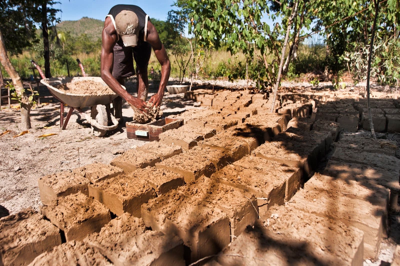
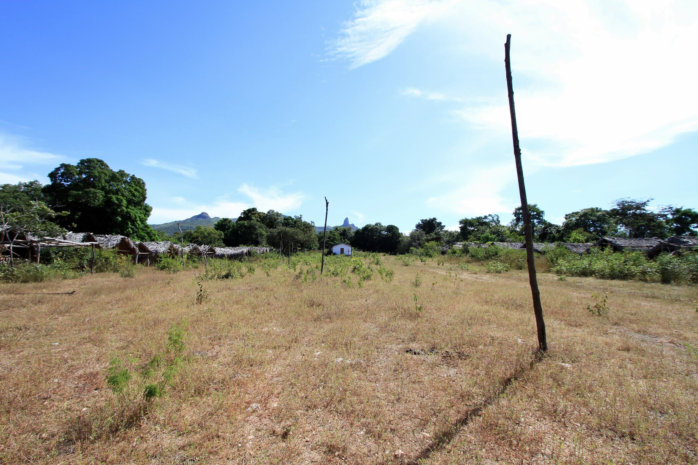
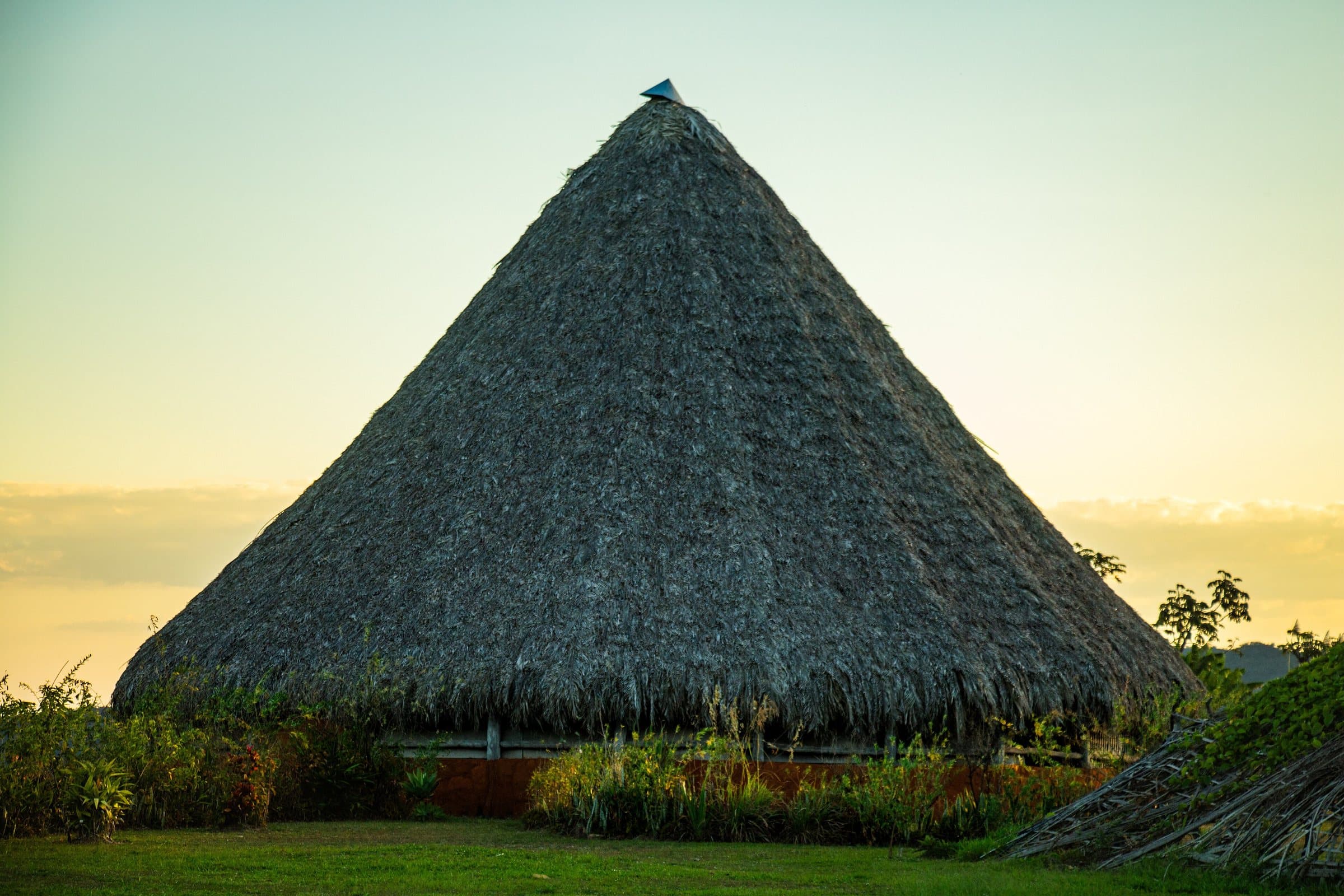
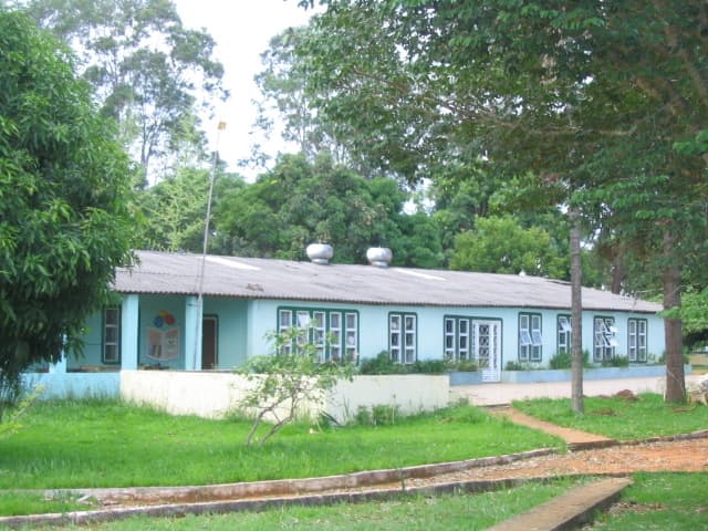
The Território Kalunga brings together 39 communities formed by descendants of enslaved Africans who built forms of autonomy and resistance in the interior of the Cerrado. They are spread across Cavalcante, Teresina de Goiás and Monte Alegre de Goiás, within the Sítio Histórico e Patrimônio Cultural Kalunga.
Rivers, mountain ranges, farm plots, paths and places of celebration are part of this history. Remaining on the land made it possible to pass agricultural, culinary, religious and environmental knowledge down through generations. Elders play an important role in guiding families and in keeping the memory of the paths.
The word Kalunga has Bantu origins and different meanings, including associations with well-being and with the world of the ancestors. The meaning lived by the communities goes beyond a single translation. The Sussa, the festivals, the food and the cultivation of the land express this identity.
Recognition as a territory conserved by peoples and communities — TICCA — highlights the relationship between community life and the protection of nature. The election of a Kalunga mayor also marked the region's political representation.
Visiting the communities
Engenho II organizes access to Santa Bárbara, Capivara and Candaru. In Vão do Moleque, Cachoeira do Guardião combines a walk, a canyon and clear water in the dry season. Each community has its own way of organizing visits.
Book through the community channels, hire the required guides and arrange meals before walking. Restaurants, shops and local products are part of the experience. Ask permission to photograph people, homes and celebrations, and respect the spaces residents use in daily life.
Before you go
It starts with what the guide researched and stays current thanks to visitors. Tap or hover over the votes to see how the community answered.
GuideCommunity
Arriving by car
no information yetThe guide does not sayHiking effort
no information yetThe guide does not sayPrice paid
no information yetThe guide does not sayPets
no information yetThe guide does not sayWe have not found a confirmed public policy for this visit. Contact the operator before bringing your pet.
Kids
no information yetThe guide does not sayLocal guide
no information yetThe guide does not say
When to go · according to visitors
| Month | Answers | Recommended by the guide | Rainy season |
|---|---|---|---|
| January | — | No | Yes |
| February | — | No | Yes |
| March | — | No | Yes |
| April | — | No | Yes |
| May | — | No | No |
| June | — | No | No |
| July | — | No | No |
| August | — | No | No |
| September | — | No | No |
| October | — | No | No |
| November | — | No | Yes |
| December | — | No | Yes |
- Rainy season (November to April): more rain and a higher risk of flash floods.
Getting there
Approximate driving distances · Território Kalunga
Entrance not mapped yet. The routes open Google Maps by the place name: check the destination and arrange your arrival point with the operator.
Four fixed bases: Vila Infinito and the centers of São Jorge, Alto Paraíso de Goiás and Cavalcante. Routes measured on Google Maps where available; where the route passes through a measured base, the leg to it is added; the rest are OSRM / OpenStreetMap estimates. Where no distance is shown, the link opens the route on Google Maps. Walking trails are not included.
The road, as visitors found it
Contact this place
We do not have a confirmed direct channel yet. Ask the tourist service center or a local guide.
Contact suggestions are reviewed by the curators before they appear here.
Tips from visitors
Photos from visitors
Where to arrive and start
Where to arrive and start. The entrance and parking do not have a confirmed point on this map yet. Arrange your arrival with the operator or local guide using the contacts on this page before planning your route.
Community routesSearch routes published on WikilocView routes and elevation
Community routes
Visitor recordings on Wikiloc help you get to know the route and its stops. Measurements are approximate and belong to the recorded track; elevation gain adds up the climbs or descents. Difficulty is the author’s own rating and may differ from the guide’s classification. Check current conditions with the attraction’s operator.
To overlay a route on the map above, download its GPX file from Wikiloc and open it in “Overlay a GPX trail”. Wikiloc may require you to log in to download the file.
Search Google for Território Kalunga routes published on Wikiloc ↗