By Anderson Sabino · Loop
- Recorded distance
- ≈ 4.66 km
- Total ascent
- ≈ 194 m
- Total descent
- ≈ 194 m
- Wikiloc difficulty
- Moderate
Published May 5, 2019 · 1 comment as of Sep 14, 2026
View map, elevation profile and details on Wikiloc ↗A guide to Chapada dos Veadeiros made by Vila Infinito
Stay at the VilaTowns and villages
Know before you go
Local services
Who makes this guide
Between Vila de São Jorge and the Bar do Mirante, on the access road to Chapada dos Veadeiros National Park, west of the village and north of the GO-239.
Community
Your passport
Stamps, XP and your “Want to go” list, saved to your passport (Google sign-in).
A guide to Chapada dos Veadeiros made by Vila InfinitoStay at the Vila
 Passaporte Veadeiros
By town
On the map
One map: from afar, the clouds right now; up close, every place in 3D with trails, weather and everything the guide records.
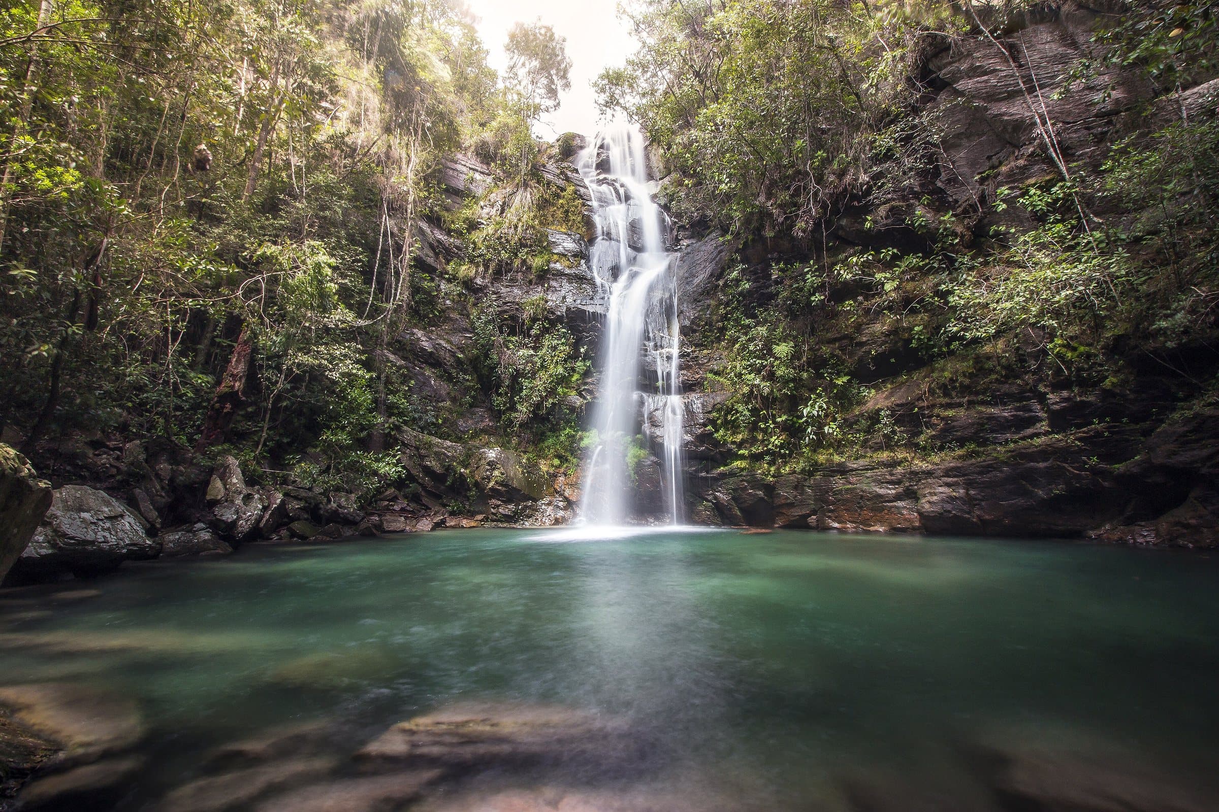 WaterfallSanta Barbara WaterfallImage credit: Aline Fortuna · CC BY-SA 4.0
Towns and villages
 Towns and villagesCavalcanteImage credit: Carlos Ebert from São Paulo, BrazilGRU · CC BY 2.0
Know before you go
 ViewpointWindow LookoutImage credit: ThiagoALacerda · CC BY-SA 4.0
Local services
Who makes this guide
Between Vila de São Jorge and the Bar do Mirante, on the access road to Chapada dos Veadeiros National Park, west of the village and north of the GO-239.
 Towns and villagesVila de São JorgeImage credit: MTur Destinos · Public domain
Community
Your passport
Stamps, XP and your “Want to go” list, saved to your passport (Google sign-in).
WaterfallNear Alto Paraíso de Goiás
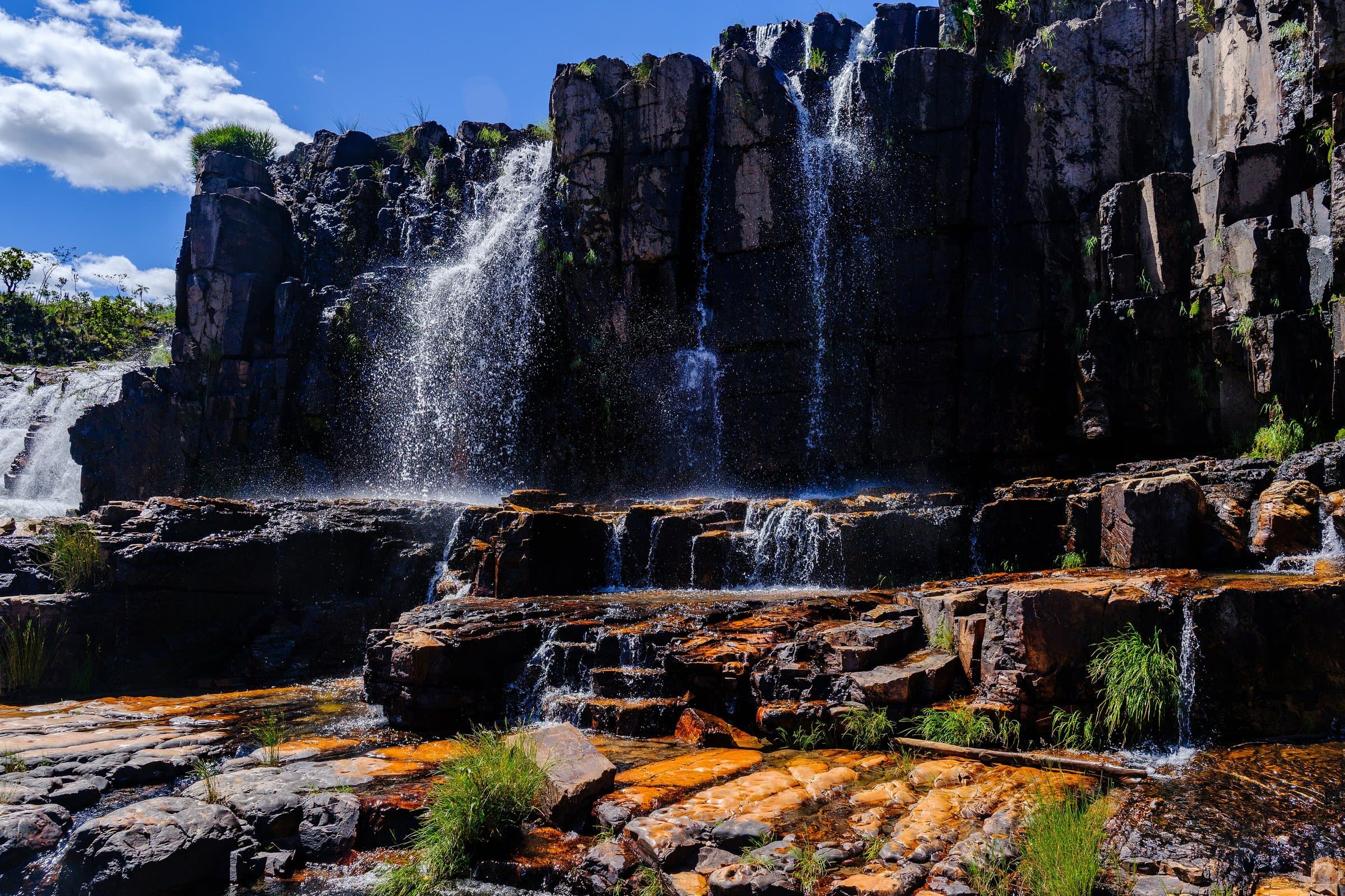
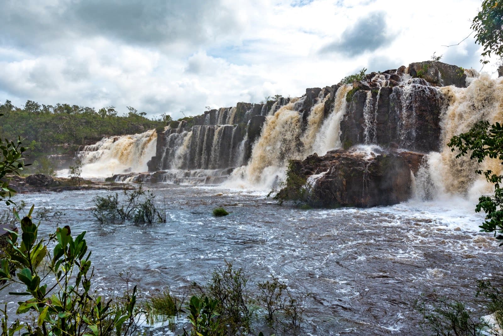
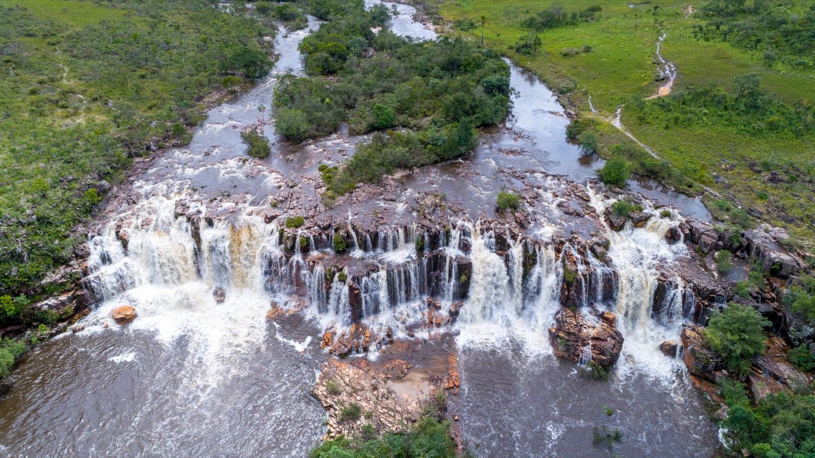
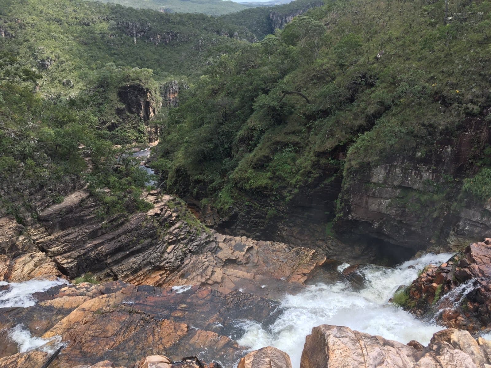
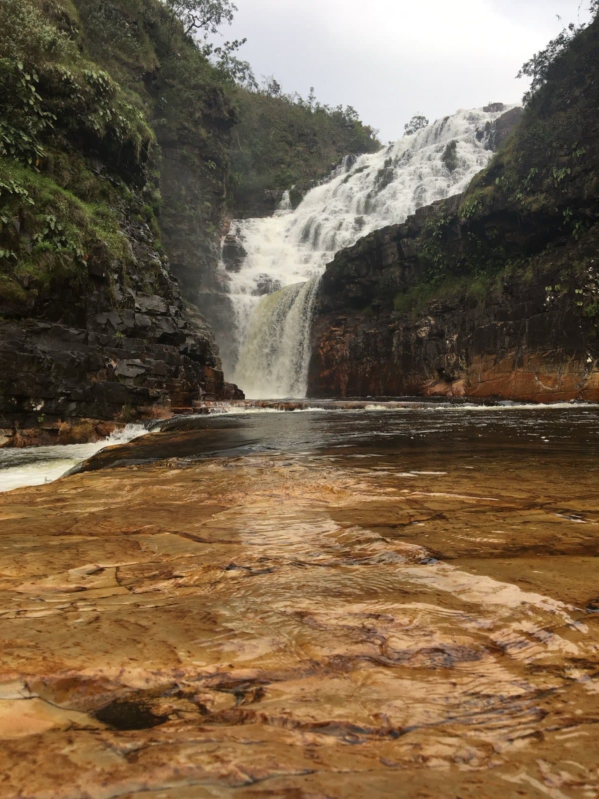
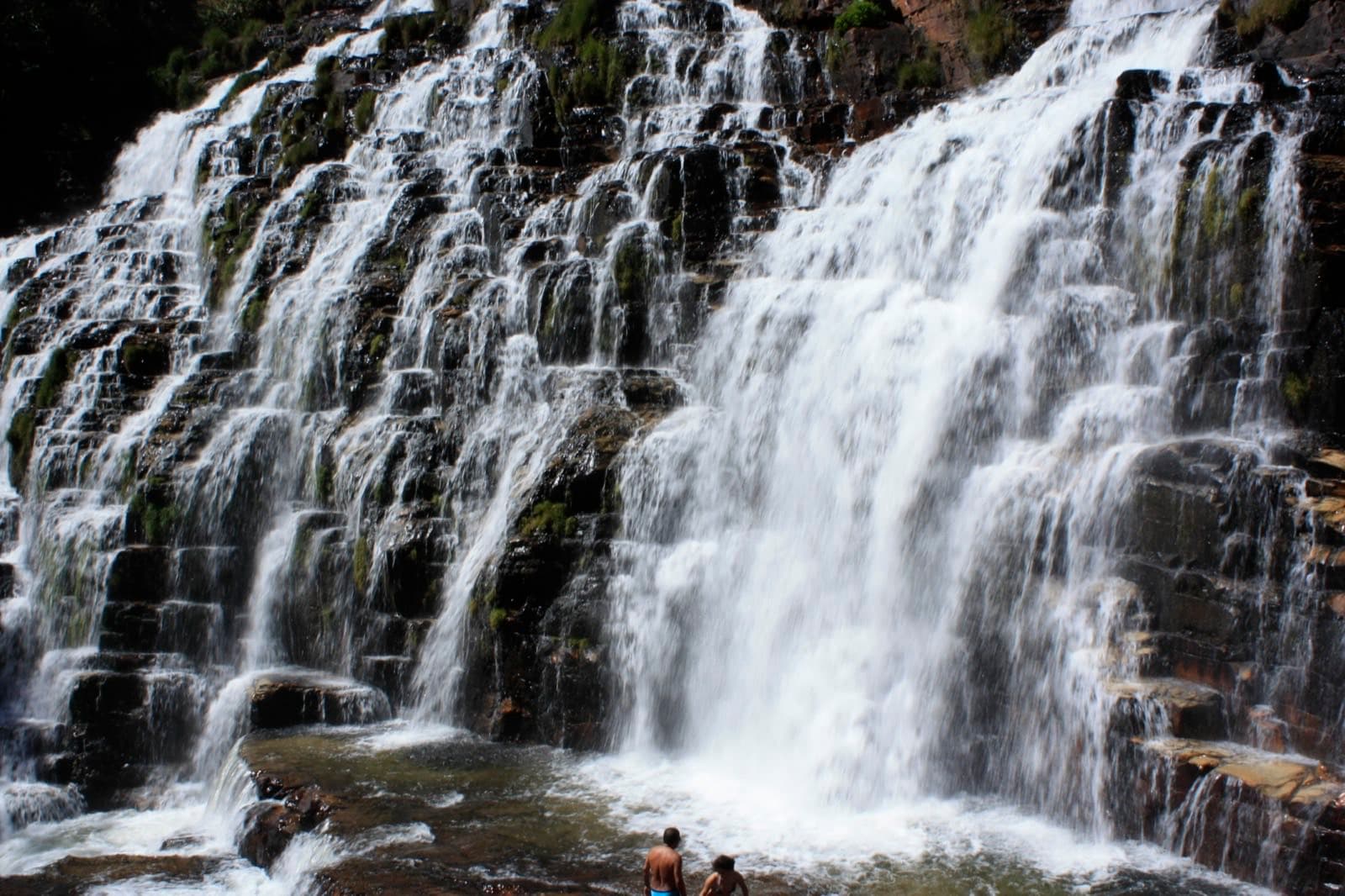
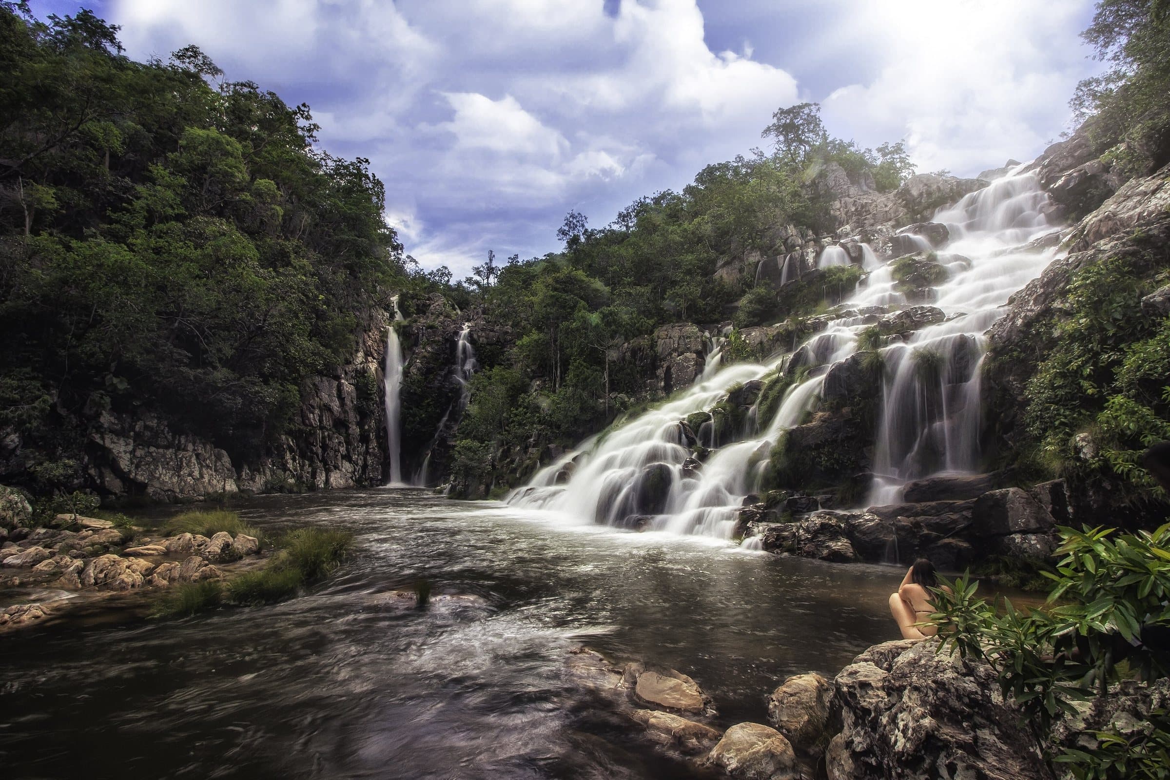
Water flowing over multiple rocky terraces at Cataratas dos Couros, in Parque Estadual Águas do Paraíso, Alto Paraíso de Goiás, Goiás, Brazil.
Image creditRebeloZeroCC BY-SA 4.0Wikimedia Commons
© RebeloZero · CC BY-SA 4.0 · Wikimedia Commons
© RebeloZero · CC BY-SA 4.0 · Wikimedia Commons
© Augusto Miranda/MTur · Public domain · Wikimedia Commons
Check today’s opening with the operator before you head out.
Loading forecast…
Between November and April, more water volume means a greater need to restrict swimming and to watch for changes in the river. According to the official page, jumping into the water, camping (including in the parking lot), alcoholic drinks, fires and pets are prohibited; drones are subject to authorization.
For your safety: hire a guide.
Find local guides →Open year-round
Between November and April, water volume tends to rise. Swimming and route restrictions depend on conditions on the day.
Plan your visit: Distance from the entrance gate actually used; meals (Dona Luzia and Dona Eleuza, book before the hike) and parking are local information to be reconfirmed.
We do not have a confirmed direct channel yet. Ask the tourist service center or a local guide.
Contact suggestions are reviewed by the curators before they appear here.
Part of this page has not been translated yet and is shown in Portuguese. Original place names help when contacting local operators.
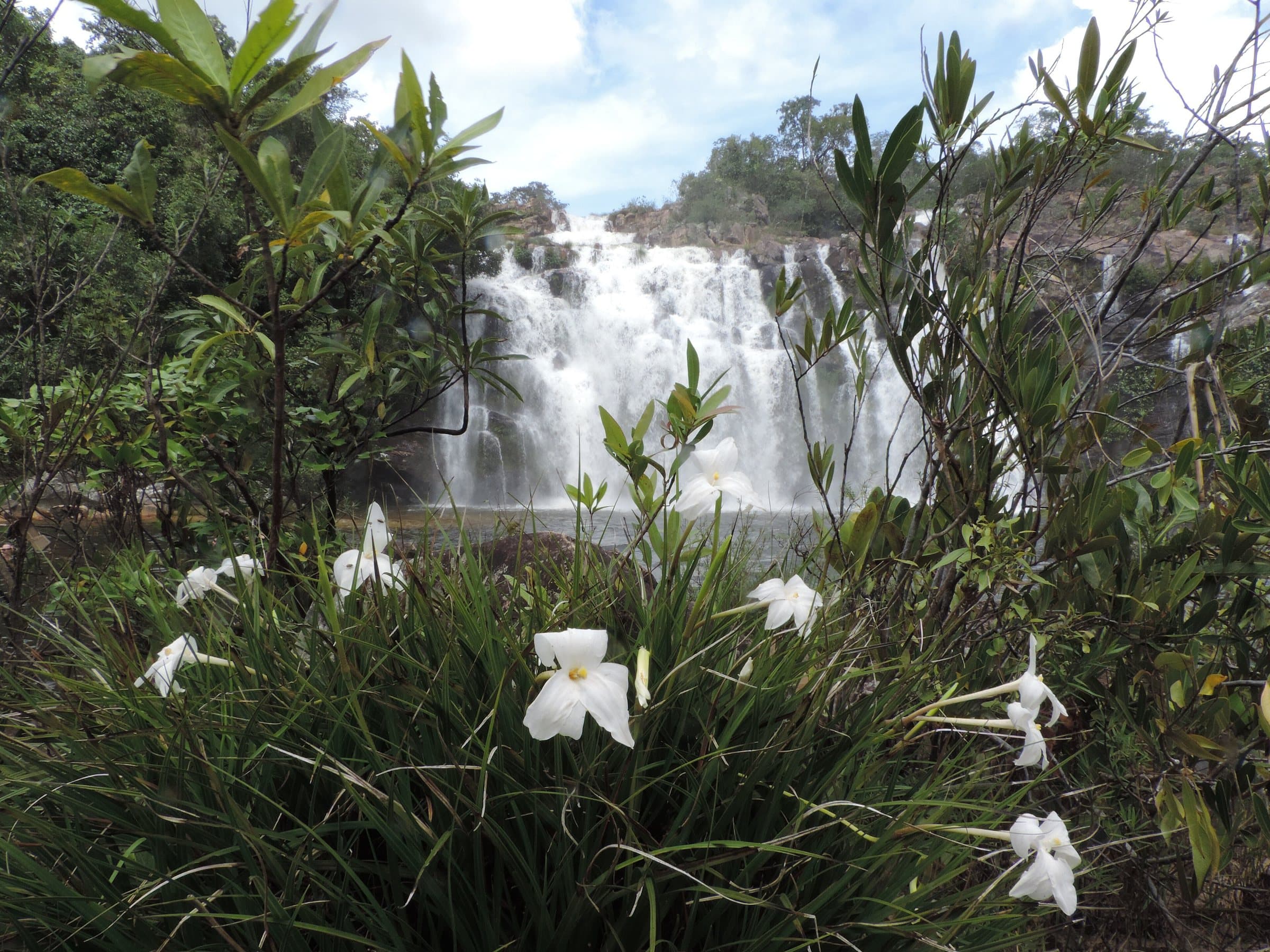
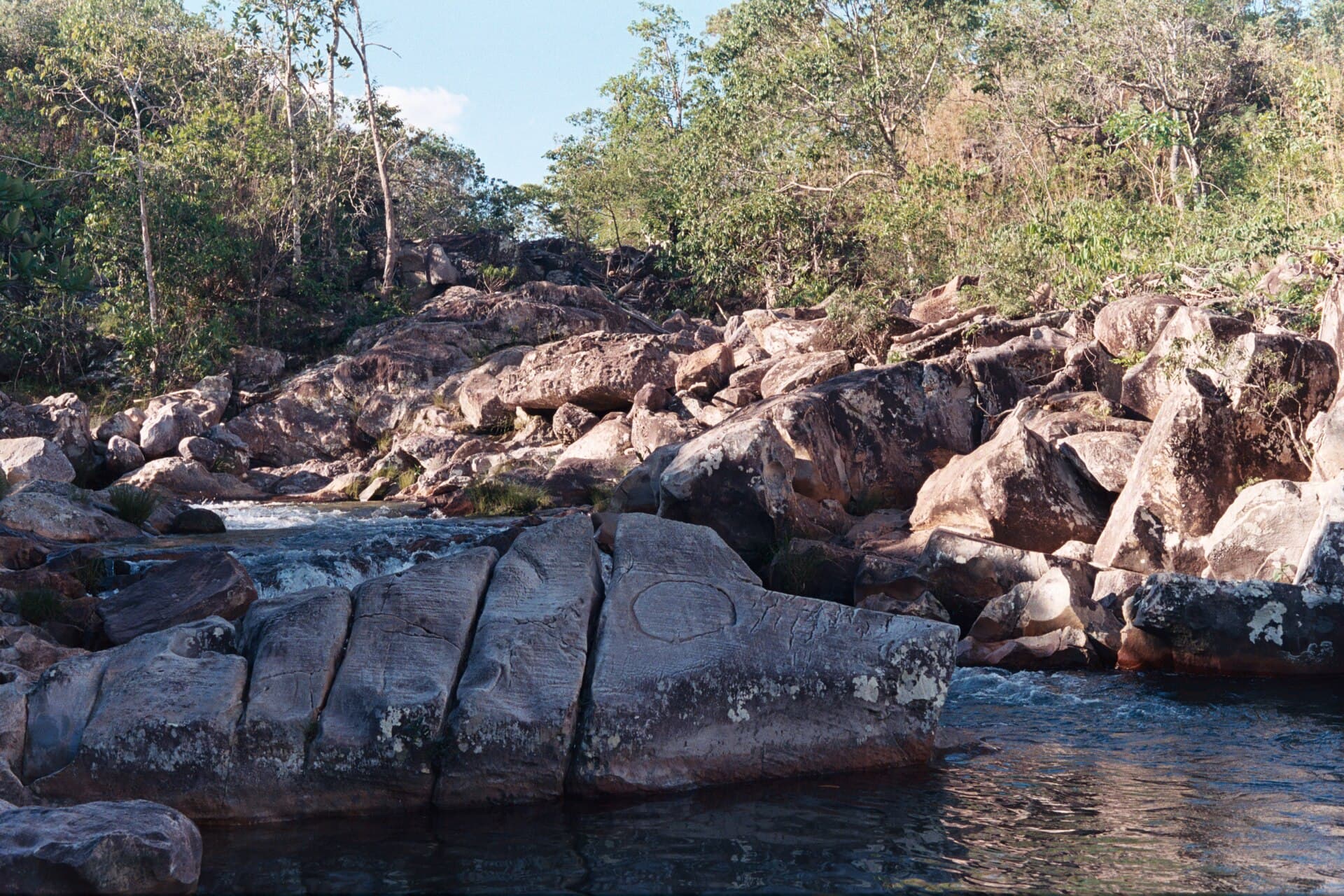
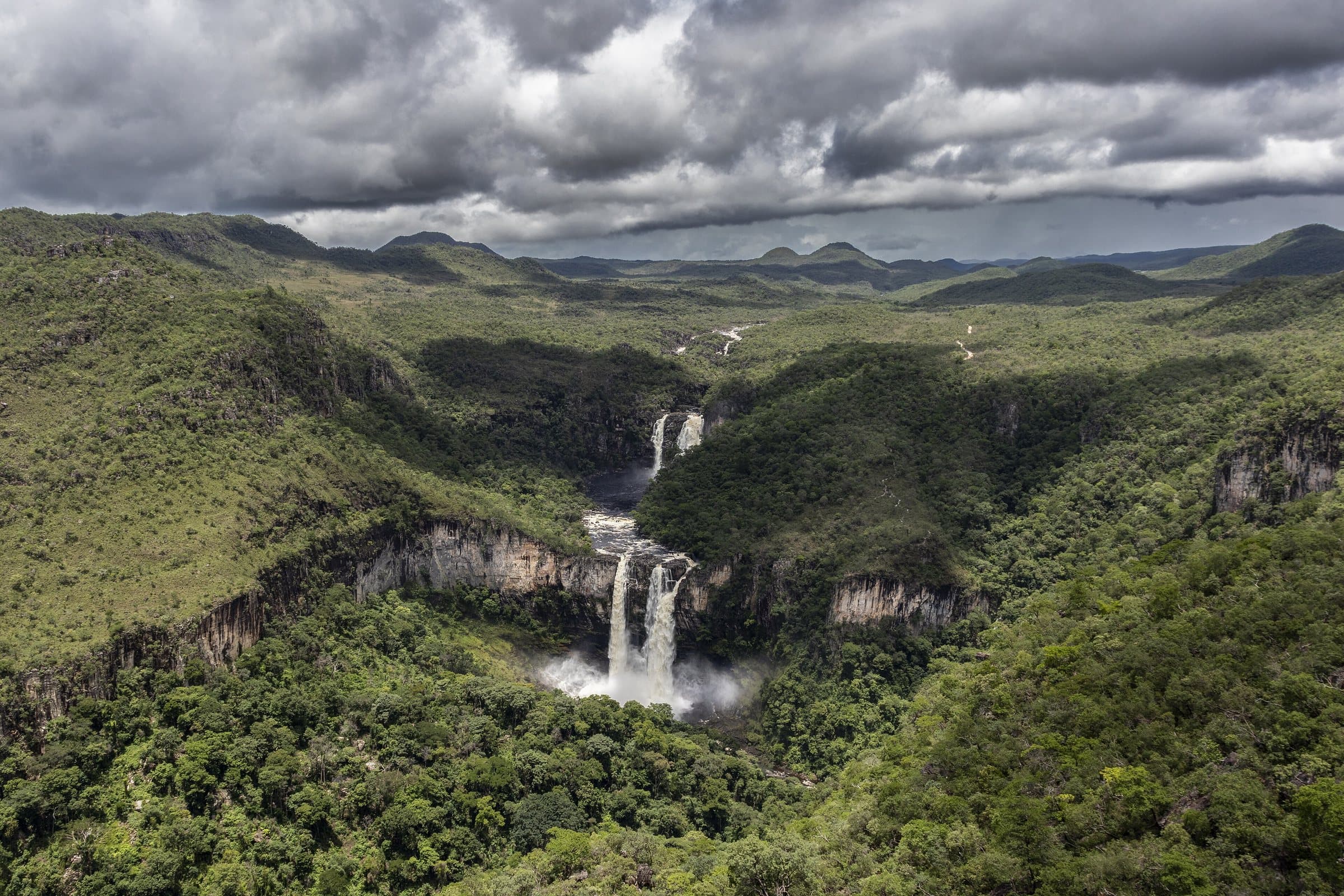
The Cataratas dos Couros bring together waterfalls, rapids, rock walls and pools in a large-scale landscape. Names in use include Muralha, São Vicente (also called Almécegas Mil) and Buracão. The name of each waterfall can vary among residents, operators and maps, so it is best to agree on the circuit by route and stopping points, as well as by name.
Park management's directions start from the Alto Paraíso entrance portal: about 18 km on GO-118 toward Brasília, then another 20 km on GO-575 to the park entrance. Ask your guide where the parking lot is and about conditions on the final stretch; the distance to each waterfall depends on the circuit. Between November and April the water tends to gain strength; more volume also means a greater need to restrict swimming and to watch for changes in the river.
In the reported tradition, the name Couros is associated with washing the hides of deer taken in hunting. A visit today combines watching the waterfalls and walking across different levels of terrain. For lunch, try the food of Dona Luzia and Dona Eleuza, booking before the hike. Meal and parking information is local and should be reconfirmed.
Águas do Paraíso State Park was created on September 14, 2020, and covers 5,682 hectares. Entry is free, a guide is mandatory and groups are limited to six people. Visiting hours are 8 a.m. to 5 p.m., with last entry at 3 p.m. Camping (including in the parking lot), alcoholic drinks, fires, pets and jumping into the water are prohibited; drones are subject to authorization. The official circuit distinguishes Muralha, São Vicente, Parafuso and the final sequence of falls.
It starts with what the guide researched and stays current thanks to visitors. Tap or hover over the votes to see how the community answered.
GuideCommunity
Historical range, not the current rate
Domestic animals are prohibited in the park, including in the parking area.
Read policy ↗Checked on Sep 15, 2026
Effort varies between routes. Agree on which sections are part of your outing.
Free entry. Local guide required, with the fee arranged separately.
Prices checked on Sep 14, 2026. Confirm when booking.
The historical range helps compare outings; it is not the current rate and does not necessarily include a guide or transportation.
Local guide required for groups of up to six people. Arrange the service fee separately.
| Month | Answers | Recommended by the guide | Rainy season |
|---|---|---|---|
| January | — | No | Yes |
| February | — | No | Yes |
| March | — | No | Yes |
| April | — | No | Yes |
| May | — | No | No |
| June | — | No | No |
| July | — | No | No |
| August | — | No | No |
| September | — | No | No |
| October | — | No | No |
| November | — | No | Yes |
| December | — | No | Yes |
Route to the Cataratas dos Couros parking area. The PEAP entrance gate comes before it and has a different access distance.
Estimated times without stops; dirt stretches usually take longer.
Four fixed bases: Vila Infinito and the centers of São Jorge, Alto Paraíso de Goiás and Cavalcante. Routes measured on Google Maps where available; where the route passes through a measured base, the leg to it is added; the rest are OSRM / OpenStreetMap estimates. Where no distance is shown, the link opens the route on Google Maps. Walking trails are not included.
Road estimates: OSRM / OpenStreetMap. Maps may suggest a different route. Checked on Oct 5, 2026.
Access source ↗In the guide: Park management's directions start from the Alto Paraíso entrance portal: about 18 km on GO-118 toward Brasília, then another 20 km on GO-575 to the park entrance. Ask your guide where the parking lot is and about conditions on the final stretch; the distance to each waterfall depends on the circuit.
We do not have a confirmed direct channel yet. Ask the tourist service center or a local guide.
Contact suggestions are reviewed by the curators before they appear here.
Where to arrive and start · Cataratas dos Couros parking area. Road arrival point. The falls are reached on foot; go over road conditions and the route with a local guide.
The green markers show where to start the visit. Check each point’s type: a property reference marks the establishment, not the parking spot or the exact trailhead.
Parking
Road arrival point. The falls are reached on foot; go over road conditions and the route with a local guide.
Location reference · checked Sep 14, 2026. Follow local signs when you arrive.
Visitor recordings on Wikiloc help you get to know the route and its stops. Measurements are approximate and belong to the recorded track; elevation gain adds up the climbs or descents. Difficulty is the author’s own rating and may differ from the guide’s classification. Check current conditions with the attraction’s operator.
To overlay a route on the map above, download its GPX file from Wikiloc and open it in “Overlay a GPX trail”. Wikiloc may require you to log in to download the file.
Partial curation; sorting only covers the routes listed here.
By Anderson Sabino · Loop
Published May 5, 2019 · 1 comment as of Sep 14, 2026
View map, elevation profile and details on Wikiloc ↗By Jaqueline_Oliveira · Out and back
Published May 2, 2018 · 3 comments as of Sep 14, 2026 · Measurements converted from miles and feet.
View map, elevation profile and details on Wikiloc ↗