
WaterfallNear Alto Paraíso de Goiás
Cachoeira do Papagaio
- Arriving by car
- Take care on the access road
- according to the guide
- Price paid
- R$ 0 to R$ 30, historical range
- according to the guide
- Pets
- Pets allowed
- according to the guide
- By car
- ≈ 33.4 km from Alto Paraíso de Goiás
No verified photo yet
Before you head out
Status today
Check today’s opening with the operator before you head out.
When to go
To be confirmed
Plan your visit: Entrance gate, with the person in charge; do not use the farm's name on its own to follow an auto-generated route.
Contact this place
We do not have a confirmed direct channel yet. Ask the tourist service center or a local guide.
Other ways to find the place
Contact suggestions are reviewed by the curators before they appear here.
Part of this page has not been translated yet and is shown in Portuguese. Original place names help when contacting local operators.
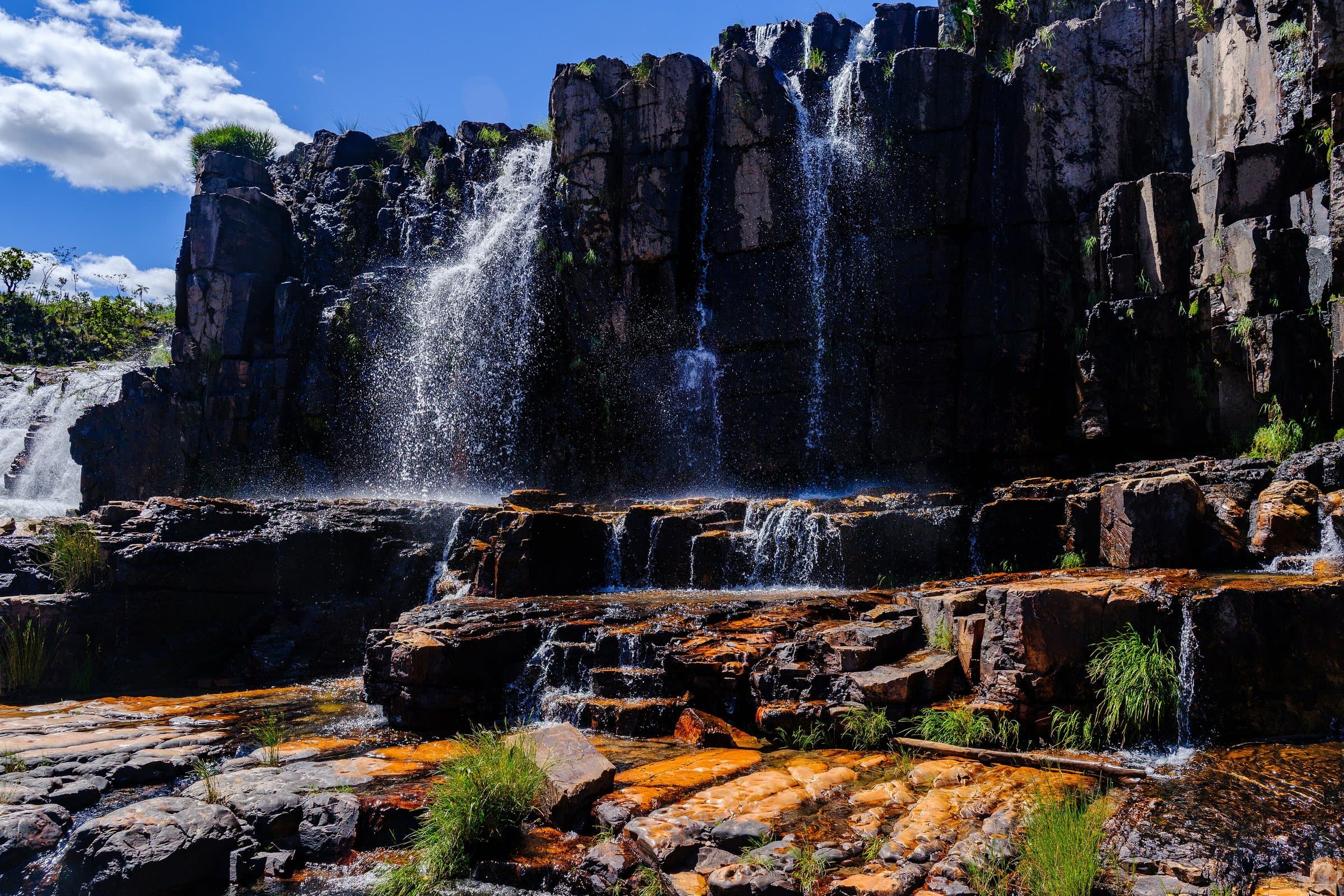
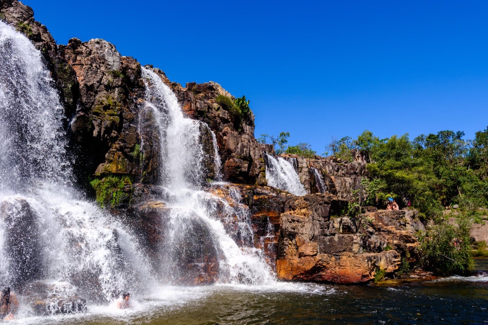
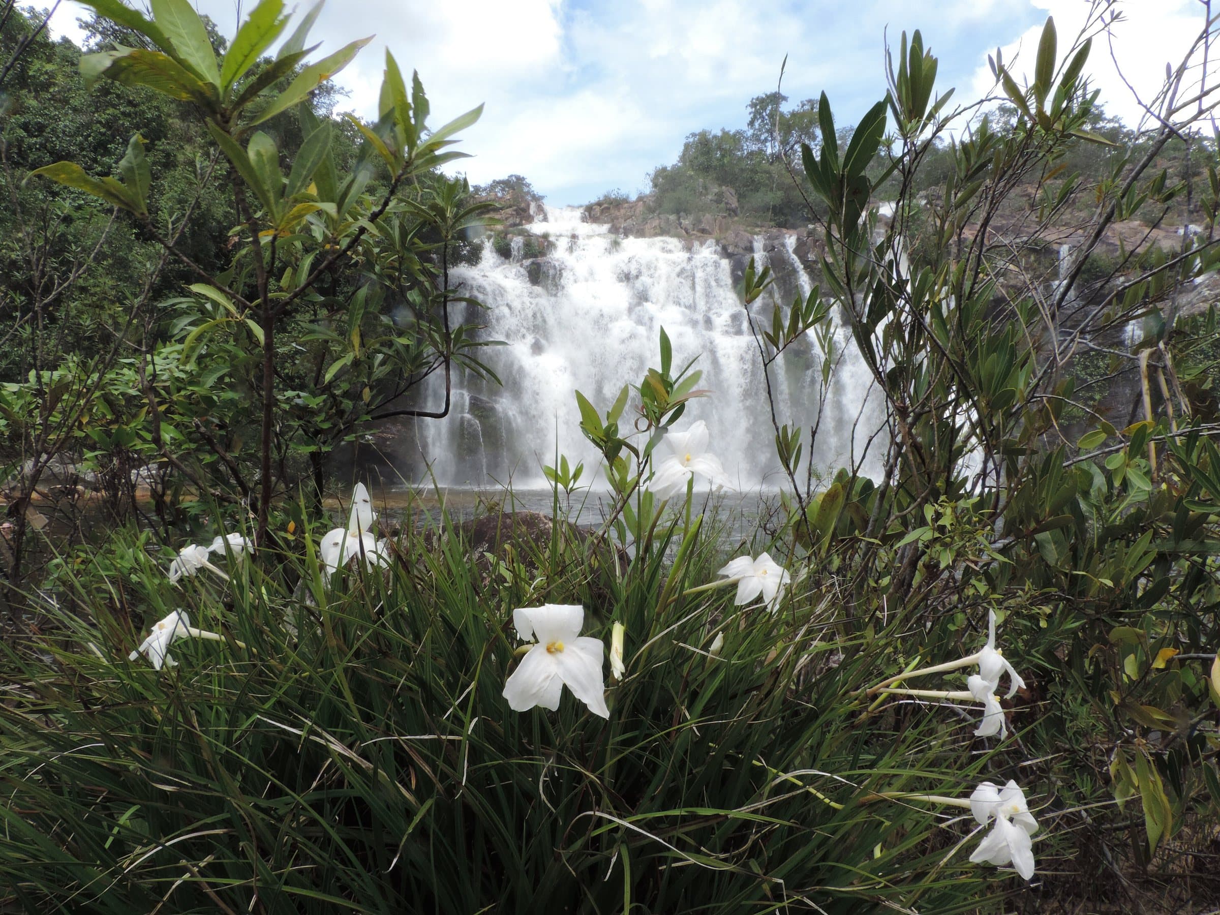
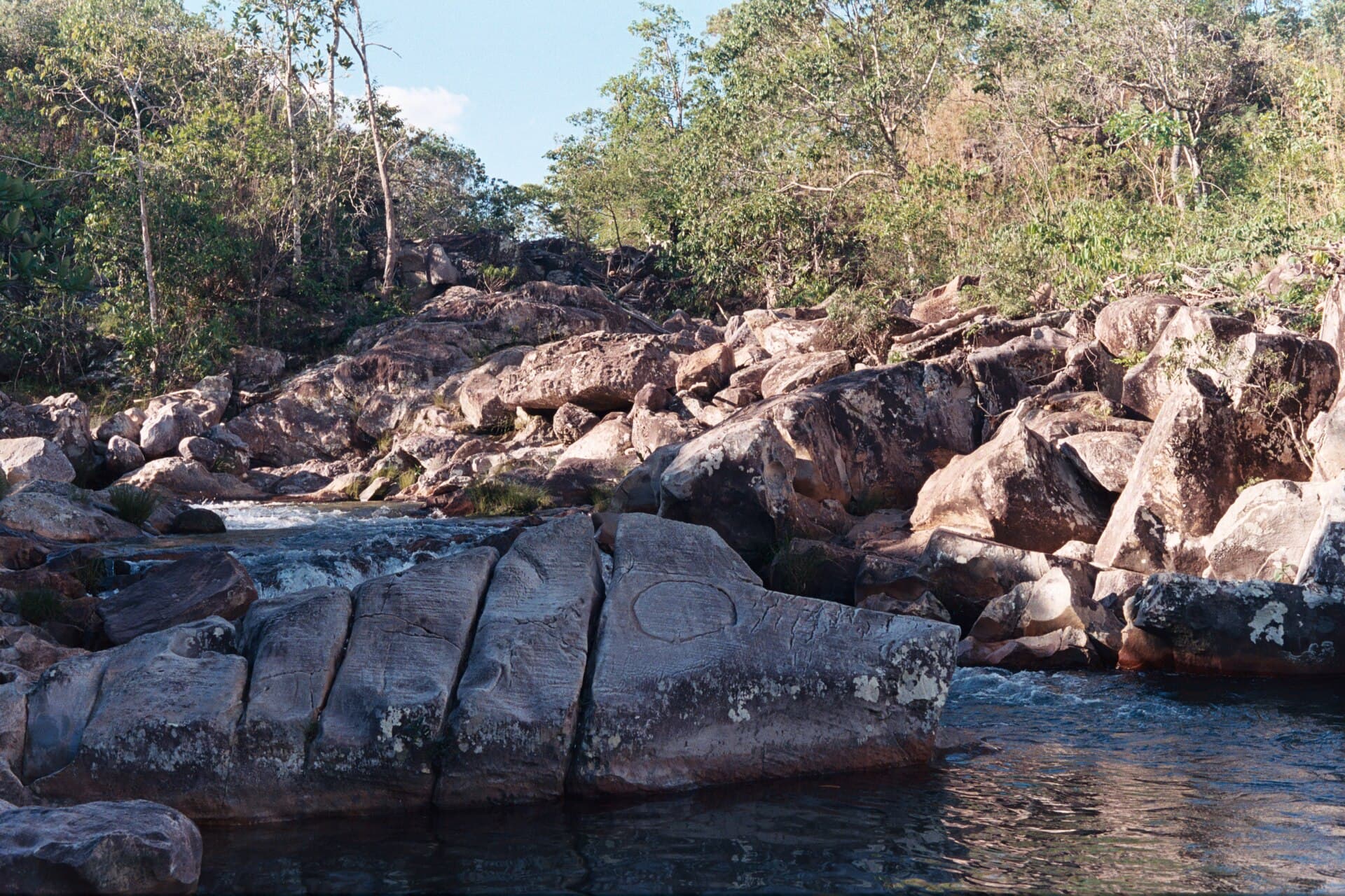
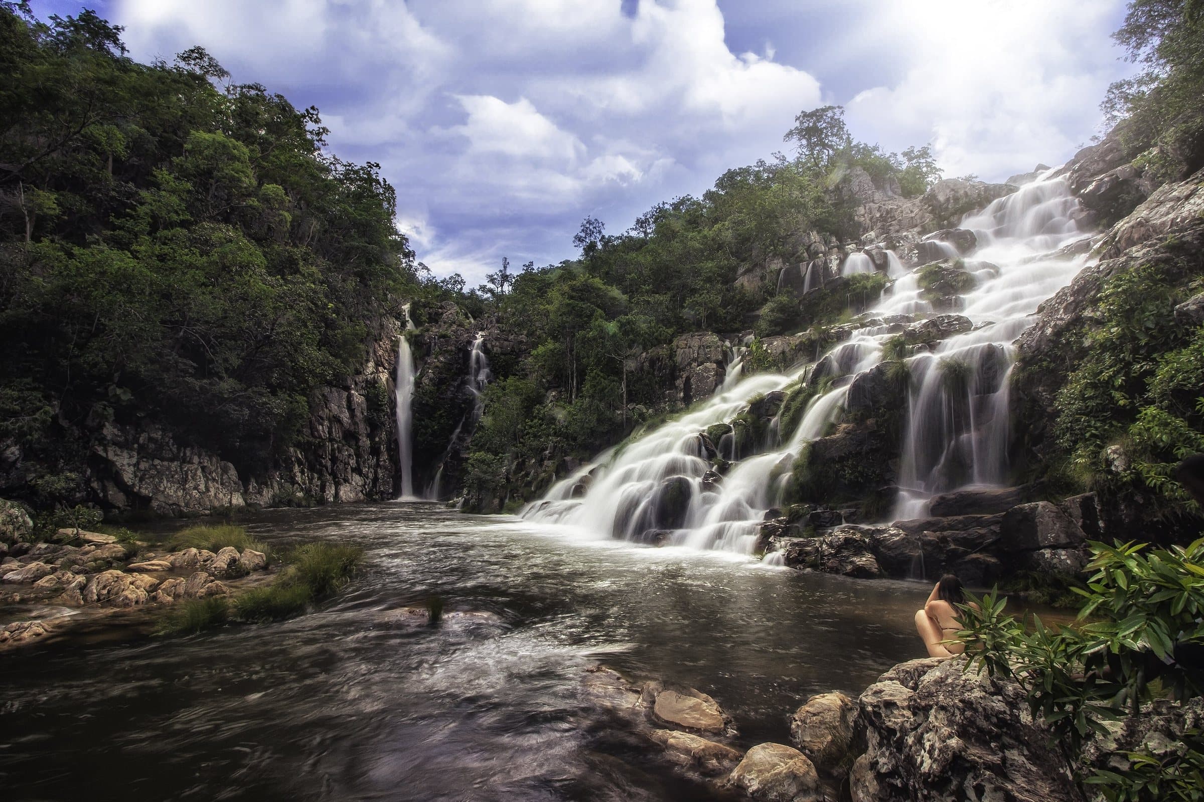
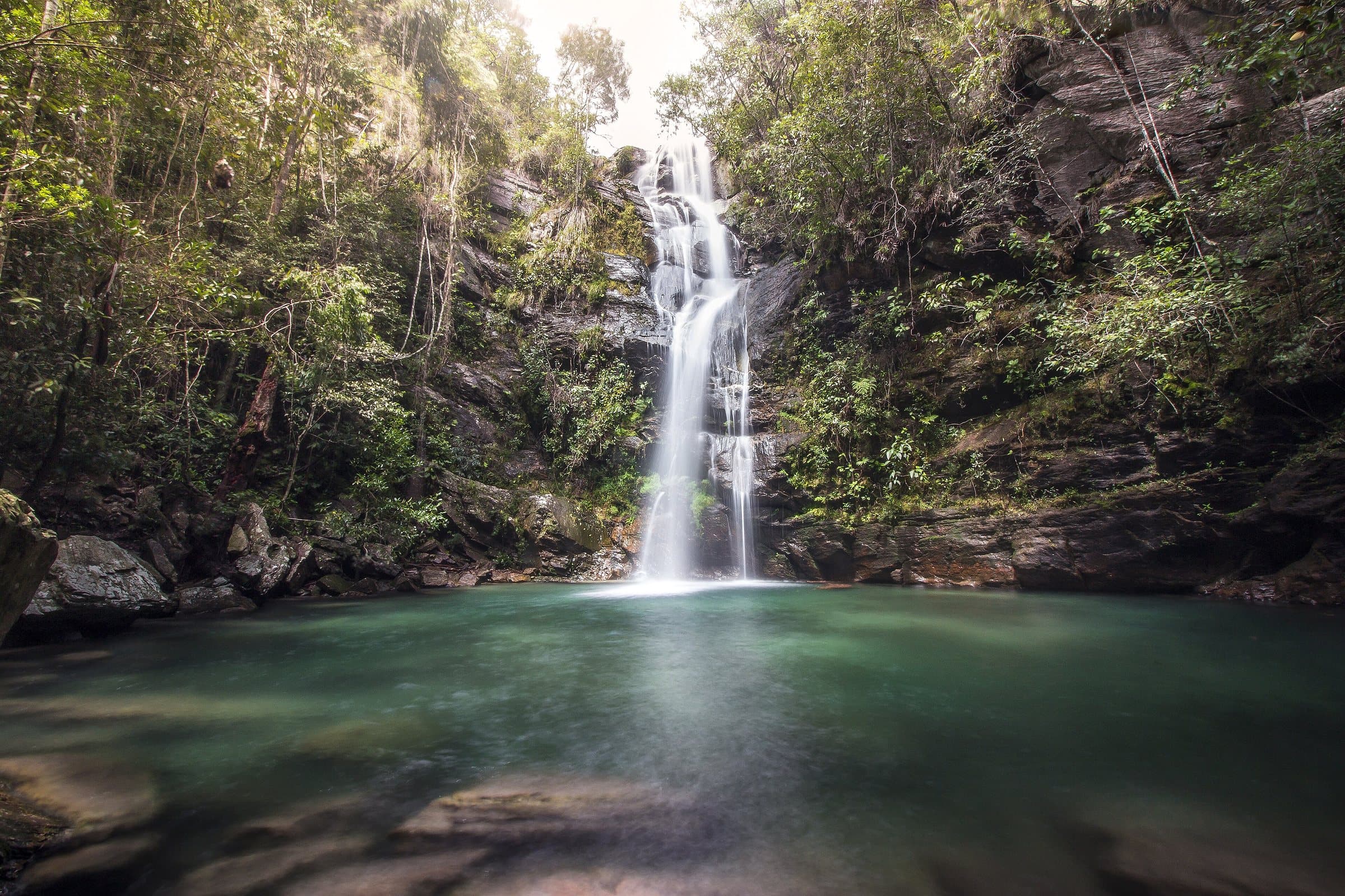
On the way to the Couros, Cachoeira do Papagaio makes for a stop with a short distance between the parking area and the water. Pools and water moving between rocks, more pleasant for lingering when the flow is low, plus rural experiences and horseback rides offered by the property.
The farm appears under differing names: “Árvore Alta” and “Árvore Grande” in the tourist references found. Keep the waterfall's name as your main reference and confirm the entrance gate with the person in charge. Do not use the farm's name on its own to follow an auto-generated route.
Before you go
It starts with what the guide researched and stays current thanks to visitors. Tap or hover over the votes to see how the community answered.
GuideCommunity
Arriving by car
according to the guideTake care on the access roadThere is a rural or dirt stretch, uneven ground, a long drive or incomplete information about the vehicle needed. This does not mean 4×4 is required.Hiking effort
according to the guideLightA short path with few steep climbs or descents. It can suit groups with different paces, after considering each person’s condition and the terrain.Price paid
according to the guideR$ 0 to R$ 30Historical range, not the current rate
Pets
according to the guidePets allowedPortal da Chapada reports that the attraction accepts pets. Confirm the conditions with the person in charge before your visit.
Read policy ↗Checked on Sep 15, 2026Local tourism report · confirm with the attraction
Kids
no information yetThe guide does not sayLocal guide
no information yetThe guide does not say
Prices and bookings
Confirm the price and what is included when booking.
The historical range helps compare outings; it is not the current rate and does not necessarily include a guide or transportation.
The route
A short distance between the parking area and the water.
When to go · according to visitors
| Month | Answers | Recommended by the guide | Rainy season |
|---|---|---|---|
| January | — | No | Yes |
| February | — | No | Yes |
| March | — | No | Yes |
| April | — | No | Yes |
| May | — | No | No |
| June | — | No | No |
| July | — | No | No |
| August | — | No | No |
| September | — | No | No |
| October | — | No | No |
| November | — | No | Yes |
| December | — | No | Yes |
- Rainy season (November to April): more rain and a higher risk of flash floods.
Getting there
Approximate driving distances · Cachoeira do Papagaio, Alto Paraíso de Goiás
- Vila InfinitoRoute
- São Jorgemeasured on Google Maps≈ 67.4 kmRoute
- Alto Paraíso de Goiásmeasured on Google Maps≈ 33.4 kmRoute
- CavalcanteRoute
Four fixed bases: Vila Infinito and the centers of São Jorge, Alto Paraíso de Goiás and Cavalcante. Routes measured on Google Maps where available; where the route passes through a measured base, the leg to it is added; the rest are OSRM / OpenStreetMap estimates. Where no distance is shown, the link opens the route on Google Maps. Walking trails are not included.
Distance sources
Routes checked on Google Maps; the distance varies with the route chosen. Checked on Sep 15, 2026.
The road, as visitors found it
In the guide: From Alto Paraíso, approximately 18 km of pavement, 22 km of dirt road to the entrance gate and another 6 km inside the property to the parking area. Confirm a suitable car and whether the road is passable after rain; the entrance gate and the parking area are different points.
Contact this place
We do not have a confirmed direct channel yet. Ask the tourist service center or a local guide.
Other ways to find the place
Contact suggestions are reviewed by the curators before they appear here.
Tips from visitors
Photos from visitors
Where to arrive and start
Where to arrive and start. The entrance and parking do not have a confirmed point on this map yet. Arrange your arrival with the operator or local guide using the contacts on this page before planning your route.
Community routesSearch routes published on WikilocView routes and elevation
Community routes
Visitor recordings on Wikiloc help you get to know the route and its stops. Measurements are approximate and belong to the recorded track; elevation gain adds up the climbs or descents. Difficulty is the author’s own rating and may differ from the guide’s classification. Check current conditions with the attraction’s operator.
To overlay a route on the map above, download its GPX file from Wikiloc and open it in “Overlay a GPX trail”. Wikiloc may require you to log in to download the file.
Search Google for Cachoeira do Papagaio routes published on Wikiloc ↗