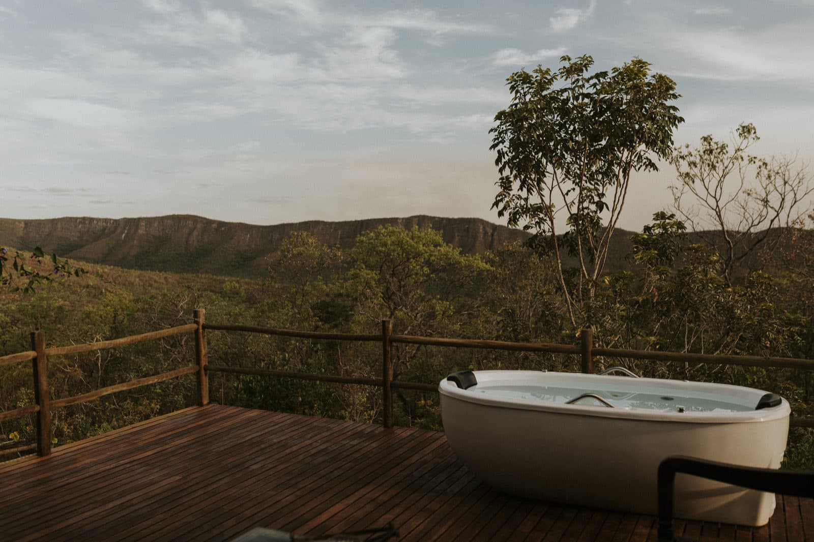
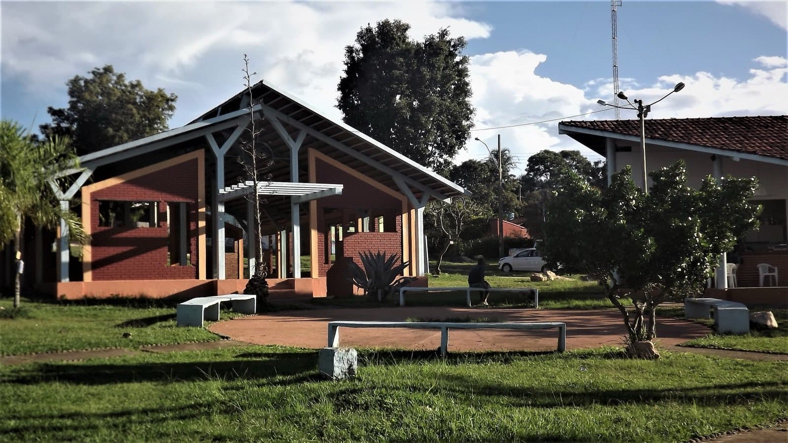
Between Vila de São Jorge and the Bar do Mirante, on the access road to the Parque Nacional da Chapada dos Veadeiros, west of the village and north of the GO-239.
Between Vila de São Jorge and the Bar do Mirante, on the access road to the Parque Nacional da Chapada dos Veadeiros, west of the village and north of the GO-239.
From birdwatching to traverses, choose the experience by route, season and your group’s pace.
Hot-air ballooning
A balloon flight over the Chapada’s mountains, valleys, rivers and areas of vegetation, shared or private, always subject to the weather and the pilot’s call.
The slow drift shows the scale of the Chapada and how its river basins relate to one another.
Takeoff, route and landing depend on the weather and the pilot’s assessment. When booking, confirm whether the flight is shared or private, the meeting point, the duration and the rescheduling terms.
Arriving by car
Depends on the itineraryAn activity, traverse or service with more than one starting, finishing or boarding point: how you get there depends on the route you choose.
Prices and bookings
Confirm the price and what is included when booking.
Getting there by car
The meeting, takeoff and pickup point depends on the flight booked. Arrange the address and transportation with the team.
Preparing for the activity
Participation requirements depend on the flight operation; confirm them with the team.
Moving through canyons with water and rock techniques (water hiking, swimming, rope descents and traverses), with operations in the Raizama area and on other watercourses.
The techniques used vary from route to route. Set aside about six hours and adjust the duration to the route you book. The routes can pass through places regular visitors can’t reach, which makes the right gear and a team that knows each section and season all the more important.
Confirm age requirements, whether you need to know how to swim, whether a wetsuit is provided and the rain cancellation policy.
Arriving by car
Depends on the itineraryAn activity, traverse or service with more than one starting, finishing or boarding point: how you get there depends on the route you choose.
Prices and bookings
Confirm the price and what is included when booking.
Getting there by car
Raizama and Bocaina do Farias have different access routes. For Farias, the operation uses 4×4; confirm whether you meet at the agency or at the attraction and whether transportation is included.
Preparing for the activity
A technical route lasting approximately six hours. Go over the physical requirements and equipment with the team.
Rides along the park road between Alto Paraíso and Colinas do Sul and the approximately 36 km bike path to São Jorge. For longer rides, there is the loop around the national park, rural roads, bridle paths and single-tracks.
Read moreClose: Cycling and bike touring
The park road has views of some of the Chapada’s main landmarks, and the bike path to São Jorge runs past grasslands, palm swamps and well-known hills. The longer routes vary in technical and physical demands, but not all of them are signposted or authorized for bicycles.
A specialized local guide can tailor distance, surface, elevation change, support and rescue to the group. Also arrange bike rental, a bike check-up, a helmet, tools and transport when needed. Plan the return with the same care as the way out, especially on stretches exposed to the sun with few places to resupply.
Arriving by car
Depends on the itineraryAn activity, traverse or service with more than one starting, finishing or boarding point: how you get there depends on the route you choose.
Prices and bookings
Confirm the price and what is included when booking.
Getting there by car
GO-239 gets you close to the São Jorge outings. For long routes, arrange support, parking and bike pickup; a route that is rideable by bike is not necessarily passable by car.
Preparing for the activity
There are routes of varying physical and technical levels, including about 36 km of bike path to São Jorge.
Climbing on the Chapada’s rock formations, with regulated sectors inside the national park. Two examples are Carrossel and the boulders of the Pouso Alto area. Not every wall or boulder is open.
Read moreClose: Climbing
The Chapada’s rock formations also offer climbing opportunities. There are specialized professionals and regulated sectors inside Parque Nacional da Chapada dos Veadeiros.
At Pouso Alto, the boulders range in level, on blocks of rock. A sector being open one year does not guarantee it will stay that way.
Confirm the sector, authorization, gear, environmental rules and supervision with park management and climbing professionals. A Google Maps result for Pouso Alto does not mean free entry to the climbing sector.
Arriving by car
Depends on the itineraryAn activity, traverse or service with more than one starting, finishing or boarding point: how you get there depends on the route you choose.
Prices and bookings
Confirm the price and what is included when booking.
Getting there by car
Carrossel uses the national park arrival point in São Jorge. For Pouso Alto and other sectors, confirm the specific meeting point and authorization with the team.
Preparing for the activity
Routes and boulders of varying levels. Choose the sector and grade with the team.
River descents in inflatable boats through canyons, calm stretches, rapids and drops rated Class III and IV, with the option of multi-day expeditions camping on the riverbanks.
Paddling is coordinated and led by a specialized team. The actual rating and difficulty vary with the stretch and the water flow. An overnight expedition involves logistics for food, transport, gear and a contingency plan, on top of the activity on the water. Define the experience you want with the team and confirm what requirements participants must meet.
The put-in may be far from the company’s base; go to the confirmed meeting point.
Arriving by car
Depends on the itineraryAn activity, traverse or service with more than one starting, finishing or boarding point: how you get there depends on the route you choose.
Prices and bookings
Confirm the price and what is included when booking.
Getting there by car
Arrange put-in, take-out, participant transportation and where to leave the car. The agency’s base may differ from where the raft sets off.
Preparing for the activity
Class III and IV rapids on the whitewater scale. Go over the route’s requirements and river conditions with the team.
On the way down, the scenery changes along the wall and shows details that are hard to see from the viewpoint.
The operation depends on the team’s availability, access, and water and weather conditions. Confirm the exact descent spot, physical restrictions and the gear included.
Arriving by car
Depends on the itineraryAn activity, traverse or service with more than one starting, finishing or boarding point: how you get there depends on the route you choose.
Prices and bookings
Confirm the price and what is included when booking.
Getting there by car
For Almécegas, arrange access through Fazenda São Bento. For Água Fria, confirm whether the approach goes through Cristais or another authorized entrance; rappelling logistics may differ from those of the swimming outing.
Preparing for the activity
Advertised duration of about three hours, with a minimum of six participants; confirm with the team that the group has been formed.
The Tirolesa Voo do Gavião is run by Travessia Ecoturismo, with instructors accompanying participants.
Arrange a time in advance and, when you reach the farm entrance, say you are there for the zip line. Before booking, confirm weight and age limits, equipment and operating conditions. Operation depends on the staff and the weather on the day.
Arriving by car
Easy to the entrancePaved road, or a road an ordinary car can manage. Check the page for any note about the last stretch or the parking.
Tickets and costs
R$ 200 for the traditional flight, R$ 250 for the Gavião Real and R$ 300 for the tandem adult-and-child flight, subject to the team’s assessment. Transportation between platforms included.
Prices checked on Sep 14, 2026. Confirm when booking.
Getting there by car
Arrival at Fazenda São Bento via GO-239. The roughly 5 km to the platform are part of the activity’s organized transportation. Use the meeting point sent by the team.
Preparing for the activity
850 m long, at a height of approximately 100 m above the ground. The team assesses the conditions for participation.
Long overnight hikes in the Cerrado that require self-sufficiency, reservations, permission to pass through, water, food and return transport; each stretch of park, property or community territory may have its own rules.
Read moreClose: Trekking and traverses
Long hikes let you stay in the Cerrado beyond the usual hours of a visit, with overnight stays, shifting light and encounters in communities. They do, however, require self-sufficiency suited to the distance, reservations, permission to pass through, water, food and return transport.
On routes that cross the park, properties and community territory, each stretch may have its own rules. A traditional route does not automatically become a public path.
Travessia Leste, Sete Quedas, Fiandeiras–Capela (São Jorge–Capela), Vão do Moleque and the Caminho dos Veadeiros each have their own entry on this page.
Source: Guia Essencial da Chapada dos Veadeiros
Trekking and traverses
Travessia Leste
Cachoeira dos Cristais · Cachoeira Água Fria · Sertão Zen · Macaquinhos · Cachoeira do Dragão · Parque Nacional da Chapada dos Veadeiros
A traditional two- to five-day trek of about seventy kilometers that leaves from Alto Paraíso, passes through the Cristais and Água Fria area, continues to Moinho and connects to Sertão Zen and Macacão, with a possible extension to Macaquinhos and Dragão.
Read moreClose: Travessia Leste
The Travessia Leste is one of the Chapada's traditional treks. It starts in Alto Paraíso, passes through the Cristais and Água Fria area, continues to Moinho and connects to Sertão Zen and Macacão. Depending on how it is organized, it can be extended to Macaquinhos and Dragão.
The stated duration is two to five days, over approximately seventy kilometers. These figures vary with the extensions chosen and the start and end points. Because part of the territory became part of Parque Nacional da Chapada dos Veadeiros, doing the trek depends on compatibility with current rules, as well as permissions from properties and communities.
Confirm the authorized route and the feasibility of each extension before booking the trip.
Hiking effort
Very intenseSustained effort, rugged terrain, traverses and overnight expeditions. For experienced people, with equipment and guiding suited to the itinerary.
Arriving by car
Depends on the itineraryAn activity, traverse or service with more than one starting, finishing or boarding point: how you get there depends on the route you choose.
Past price
Over R$ 100
Prices and bookings
Confirm the price and what is included when booking.
The past price helps compare outings; it is not the current rate and may not include a local guide or transportation.
Getting there by car
Arrange entry, exit and pickup depending on the version of the traverse. If the return goes via Macacão, 4×4 logistics are needed; routes can start and end at different points.
The route
Approximately 70 km and 2 to 5 days, depending on the extensions chosen.
At about 23.5 km and commonly done over two days, Sete Quedas was the first trek set up for overnight stays inside the park. The camping area and dry toilet allow for an organized stay in the Cerrado.
Booking, the cap on spots, the opening period and gear need to be confirmed for the season.
Hiking effort
IntenseA longer, steeper or more technical route, with rocks, water crossings and a possible overnight stay. Requires fitness and planning suited to the activity.
Arriving by car
Depends on the itineraryAn activity, traverse or service with more than one starting, finishing or boarding point: how you get there depends on the route you choose.
Past price
R$ 51 to R$ 100
Tickets and costs
General admission R$ 49; half-price ticket R$ 24.50 and R$ 5 for eligible residents. Transport, camping and special services are charged separately.
Prices checked on Sep 14, 2026. Confirm when booking.
The past price helps compare outings; it is not the current rate and may not include a local guide or transportation.
Getting there by car
Entry through the São Jorge gate, with the hike exiting next to GO-239. Arrange pickup back to your starting parking lot before you begin.
The route
Approximately 23.5 km and 2 days in the overnight option.
Parque Nacional da Chapada dos Veadeiros · Travessia das Sete Quedas
A trek of approximately 25 km, opened in September 2022, running from the São Jorge visitor center along part of the Sete Quedas route and over the Serra de Santana to Capela, already in Cavalcante.
Read moreClose: Fiandeiras–Capela / São Jorge–Capela
Opened in September 2022, the trek starts at the São Jorge visitor center, follows part of the Sete Quedas route and descends via the Serra de Santana toward Capela, already in Cavalcante. It covers approximately 25 km of trails and roads.
It is part of the Caminho dos Veadeiros and is also known as São Jorge–Capela. Plan your transport from the finish at Capela ahead of time.
Hiking effort
Very intenseSustained effort, rugged terrain, traverses and overnight expeditions. For experienced people, with equipment and guiding suited to the itinerary.
Arriving by car
Depends on the itineraryAn activity, traverse or service with more than one starting, finishing or boarding point: how you get there depends on the route you choose.
Past price
R$ 51 to R$ 100
Tickets and costs
General admission R$ 49; half-price ticket R$ 24.50 and R$ 5 for eligible residents. Transport, camping and special services are charged separately.
Prices checked on Sep 14, 2026. Confirm when booking.
The past price helps compare outings; it is not the current rate and may not include a local guide or transportation.
Getting there by car
Capela is on the Colinas–Cavalcante road. Arrange the pickup, time and vehicle in advance; confirm road conditions for low-clearance cars.
The route
Approximately 25 km on trails and roads, with transportation to be organized at the destination.
A four- to seven-day trek, with routes that can reach 120 km, along the bridle paths and through the Kalunga history of the Vão do Moleque; requires an agreement with the community and a local guide.
Read moreClose: Travessia do Vão do Moleque
The trek through the Vão do Moleque brings visitors closer to the bridle paths and Kalunga history. The landscape includes grasslands, mountain ranges, rivers and places of community life, making the route a cultural and territorial experience as well as a sporting one.
Seu Zé Preto, born and raised in the territory, knows the paths and helped open many of them. His knowledge is an essential part of the experience, passed on at the pace of the walk and through shared stories.
The suggested duration ranges from four to seven days, with routes that can reach 120 km. A trek of this scale requires an agreement with the community, a local guide, planned overnight stops and meals, and respect for what may or may not be visited. Do not treat the territory as an uninhabited free-camping area.
Being able to book the Vão do Moleque waterfalls on the community platform does not mean the long trek is available.
Hiking effort
Very intenseSustained effort, rugged terrain, traverses and overnight expeditions. For experienced people, with equipment and guiding suited to the itinerary.
Arriving by car
Depends on the itineraryAn activity, traverse or service with more than one starting, finishing or boarding point: how you get there depends on the route you choose.
Past price
Over R$ 100
Prices and bookings
Confirm the price and what is included when booking.
The past price helps compare outings; it is not the current rate and may not include a local guide or transportation.
Getting there by car
Logistics depend on the community and the route chosen. There are difficult stretches and a seasonal need for 4×4 on the access to Guardião. Arrange entry, exit and transportation with your hosts and local guide.
The route
4 to 7 days, and it can reach 120 km, depending on the itinerary agreed with the community.
A network of long-distance routes between Formosa and Cavalcante, in Goiás, with 483 km of trekking and two cycle-touring routes, integrated into the Caminho dos Goyazes and the national trails initiative; the Ministry of Tourism publishes 1,212 km as the network’s total length.
The Caminho dos Veadeiros links Formosa to Cavalcante via trails, roads and communities. Brasília serves as the arrival base for starting this long-distance journey.
The route passes through Formosa, Planaltina de Goiás, Água Fria de Goiás, São João d’Aliança, Alto Paraíso, Colinas do Sul and Cavalcante. The Serra Geral do Paranã frames the landscape, with waterfalls, viewpoints, wildlife watching, historic sites and rural hospitality.
The network totals 1,212 km across modes and branches, including 483 km of trekking and two cycle-touring routes. For a full walk, set aside approximately twenty days, adjusting your plans to the stages and support points.
The route is part of the Caminho dos Goyazes initiative and connects areas such as the APA do Planalto Central, Parque Municipal do Itiquira, Parque Nacional da Chapada dos Veadeiros, the APA de Pouso Alto and private reserves. The signage combines yellow and black, directions, and elements of the fauna, the flora and the Morro da Baleia.
Choose the stages that suit your level of preparation. Confirm open sectors, permits, lodging, food and transport. For walking, use the stage route; an automatic driving route does not represent the trail.
Hiking effort
Very intenseSustained effort, rugged terrain, traverses and overnight expeditions. For experienced people, with equipment and guiding suited to the itinerary.
Arriving by car
Depends on the itineraryAn activity, traverse or service with more than one starting, finishing or boarding point: how you get there depends on the route you choose.
Past price
Over R$ 100
Prices and bookings
Confirm the price and what is included when booking.
The past price helps compare outings; it is not the current rate and may not include a local guide or transportation.
Getting there by car
The hiking and bike-touring stages have different start and end points. Arrange parking, support and pickup, and confirm the vehicle needed for each access.
The route
The hiking itinerary has a reference length of 483 km and about 20 days; the two bike routes each exceed 400 km. The route network is longer than any single itinerary: choose your stages and confirm the signposted sections.
Cave visits, with their own rules. In the Chapada, a cave at Chapada Alta can be visited with a local guide (check with them first); for deeper immersion, you can extend the trip to the Parque Estadual de Terra Ronca (Terra Ronca State Park), about 275 km from Alto Paraíso.
Read moreClose: Caving and Terra Ronca
Speleology is the science that studies caves and their environments. Cave tourism is visiting natural caves, with local guides and rules suited to the fragility of these spaces. Water, acting over long periods, plays a part in forming galleries, passages and structures that can take thousands of years to develop.
In Chapada Alta, a cave can be visited with a local guide. For deeper immersion, you can extend the trip to the Parque Estadual de Terra Ronca region, approximately 275 km from Alto Paraíso: it is a separate trip, with a different base, not an outing near São Jorge.
Terra Ronca's management provides its own visiting guidelines. At Terra Ronca, hire a park-accredited local guide and wear a proper helmet and closed-toe, non-slip footwear, both mandatory. Bring lighting and clothing suited to damp passages. Do not touch the formations, do not remove materials and do not leave waste behind.
Arriving by car
Easy to the entrancePaved road, or a road an ordinary car can manage. Check the page for any note about the last stretch or the parking.
Prices and bookings
Confirm the price and what is included when booking.
Getting there by car
The main access between Guarani de Goiás and Terra Ronca has about 38 km of paved road, with concrete-block paving inside the park. The side roads to the caves have their own conditions; ask your local guide for the route and vehicle for each visit.
Preparing for the activity
Specialized guiding, with effort and route determined by the cave chosen.
Read moreClose: Birding: getting to know the Chapada through its birds
Watching birds means walking, pausing, listening, recognizing and recording. The activity, also known as birdwatching, lets you experience the same environment in a different way: a song in the woods, a flight over the grassland or behavior by the water start to guide your attention.
The Chapada brings together birds of grasslands, forests, vereda wetlands and rivers. The Brazilian merganser (Mergus octosetaceus) and the dwarf tinamou (Taoniscus nanus) are among the species of the region. The chance to observe them depends on habitat conservation and knowledge of the species, not on a promise of finding them on any given outing.
Birds are also part of cultural life: they inspire songs, stories, poems and place names.
To get started, binoculars and an experienced local guide matter more than sophisticated camera gear. Keep your distance, do not chase birds, do not approach nests and avoid practices that change their behavior just to get a picture. Recording sightings with place, date and careful identification can help build knowledge of biodiversity.
Marcelo Lisita — Birding Tours. Marcelo Lisita runs birdwatching outings tied to environmental education, biodiversity awareness and respect for animal life. The outings can suit both beginners and those who already watch birds, adjusting to the group's interests and pace. Agree on species of interest, habitats, times and the meeting point.
Arriving by car
Depends on the itineraryAn activity, traverse or service with more than one starting, finishing or boarding point: how you get there depends on the route you choose.
Prices and bookings
Confirm the price and what is included when booking.
Getting there by car
Observation points vary between reserves and roads. Ask the professional for the meeting places and the transportation included, especially for pre-dawn departures.
Preparing for the activity
Walking, duration and terrain vary by itinerary. There are options for beginners and experienced birdwatchers; agree on the physical pace with the professional.