

Passaporte Veadeiros

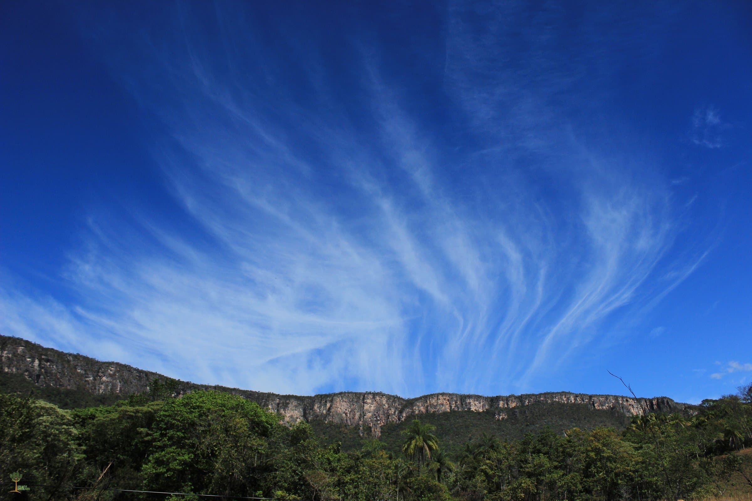
LandscapeNear Alto Paraíso de Goiás

Backcountry Zen

Arriving by car
Take care on the access road
according to the guide
Price paid
R$ 0 to R$ 30, historical range
according to the guide
Pets
The guide does not say
no information yet
By car
≈ 2.7 km from Alto Paraíso de Goiás
≈ 6 min

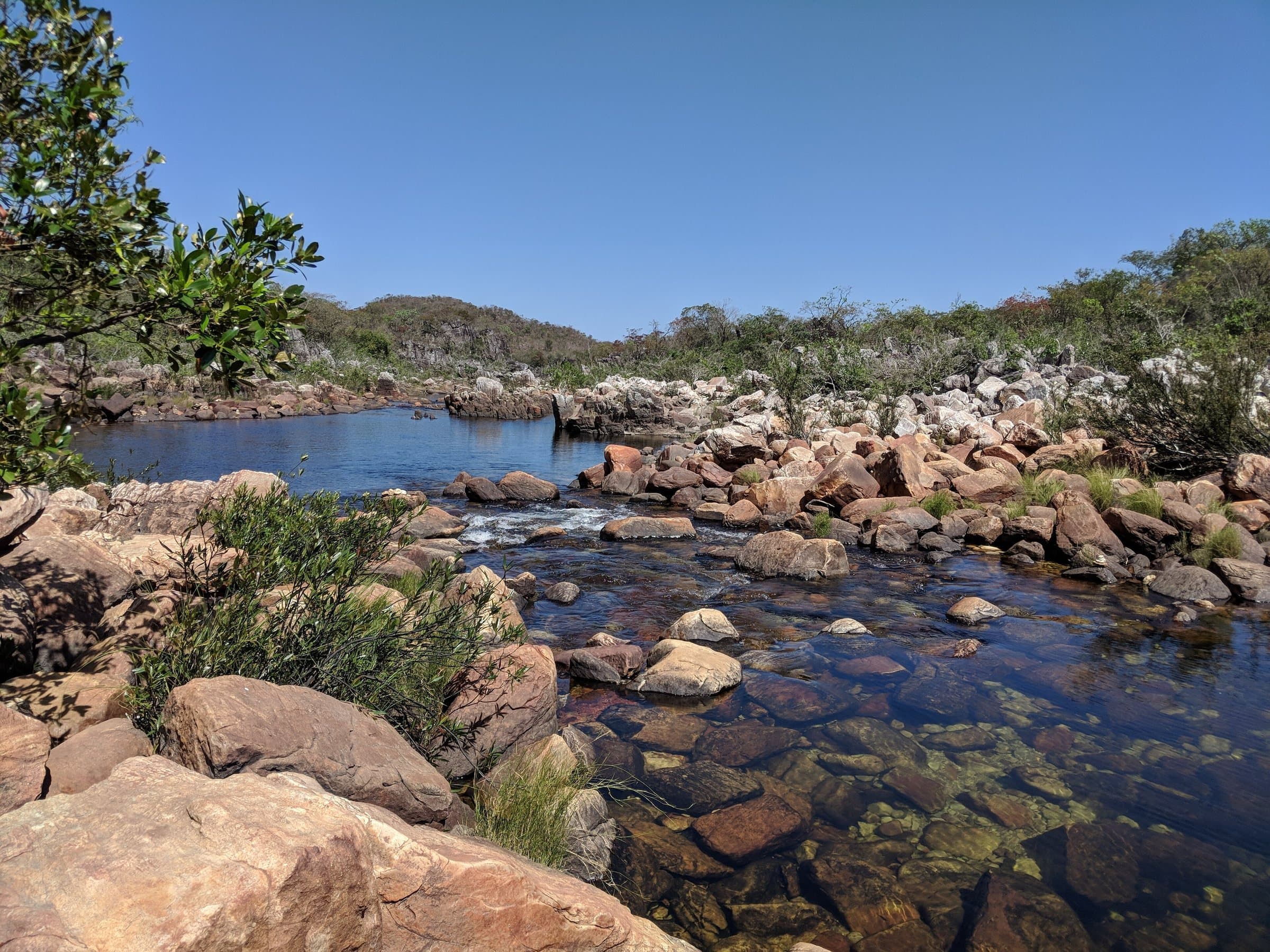
Backcountry Zen — Landscape
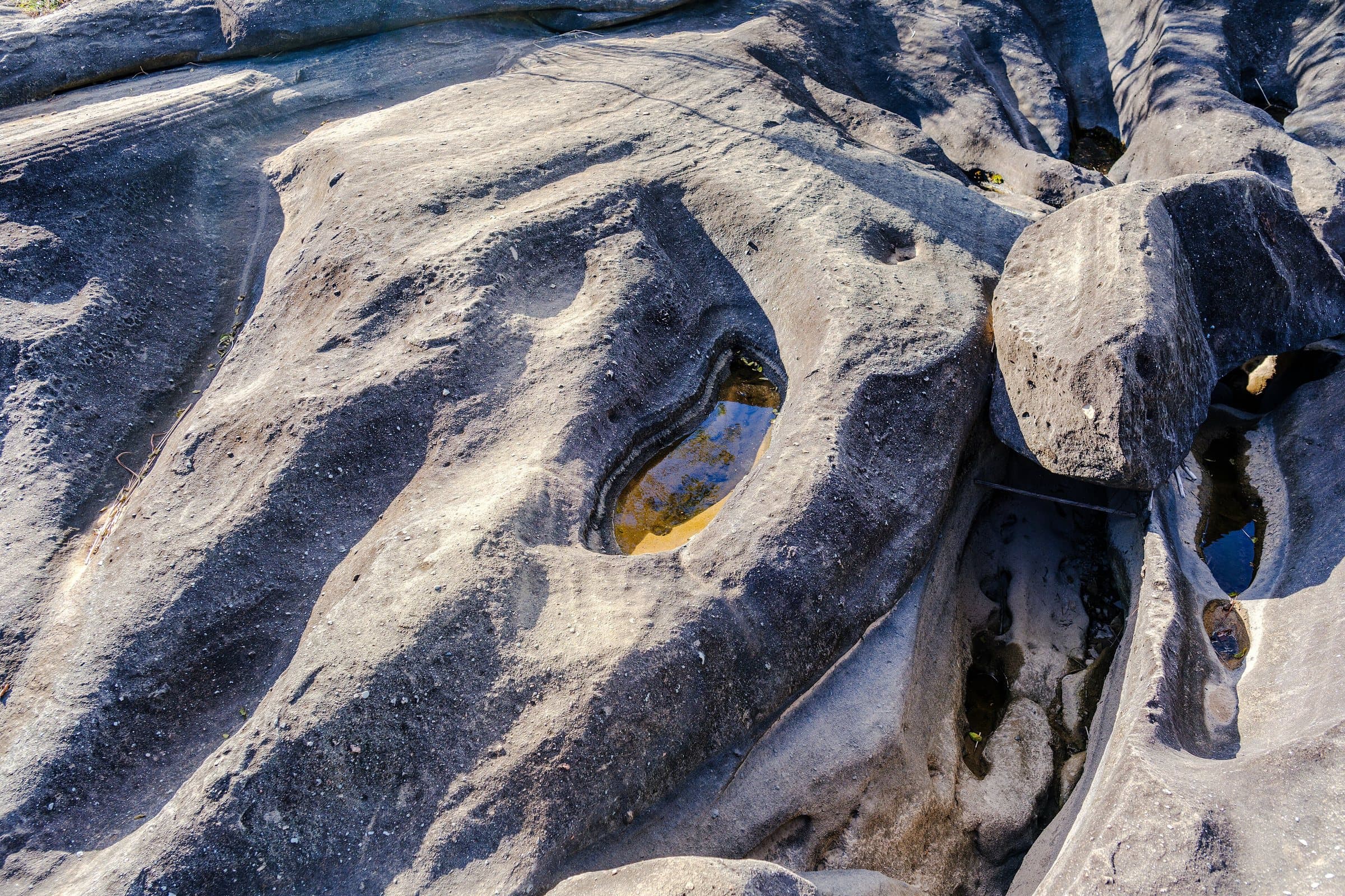
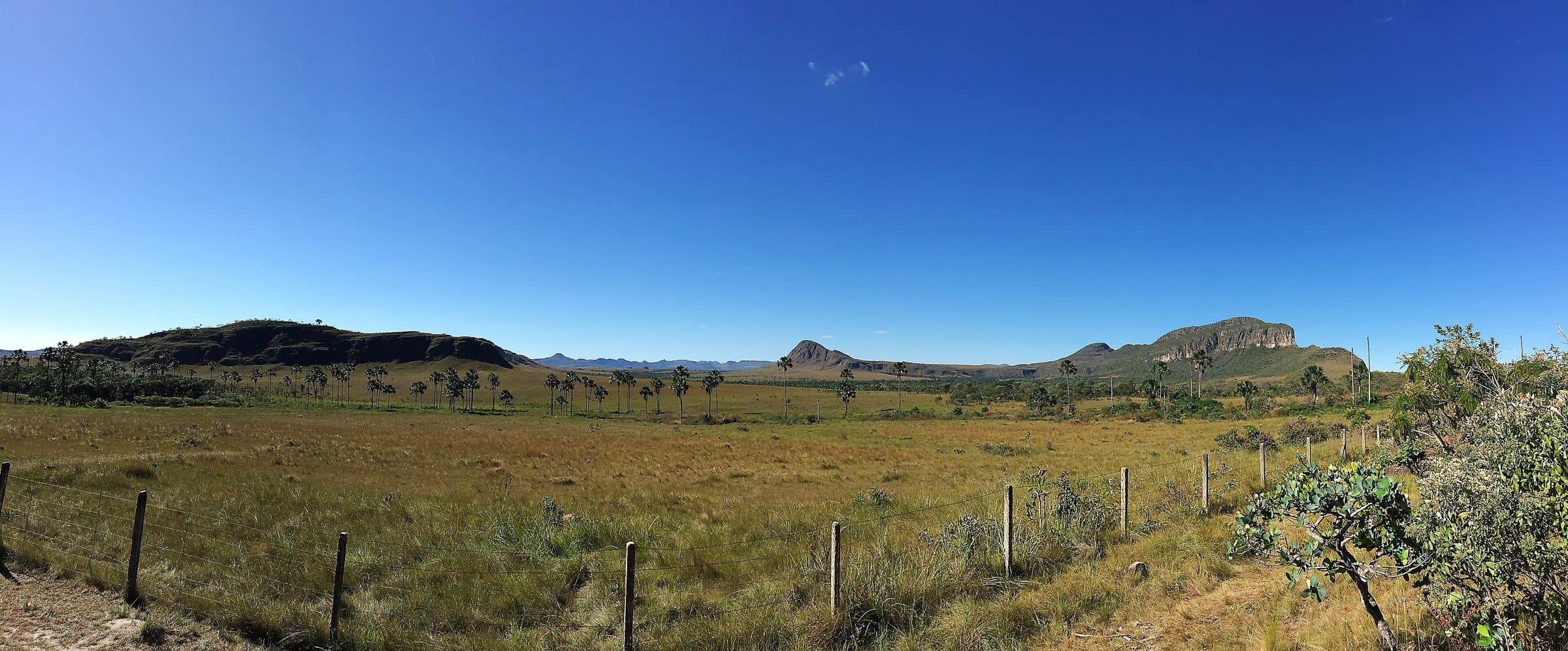
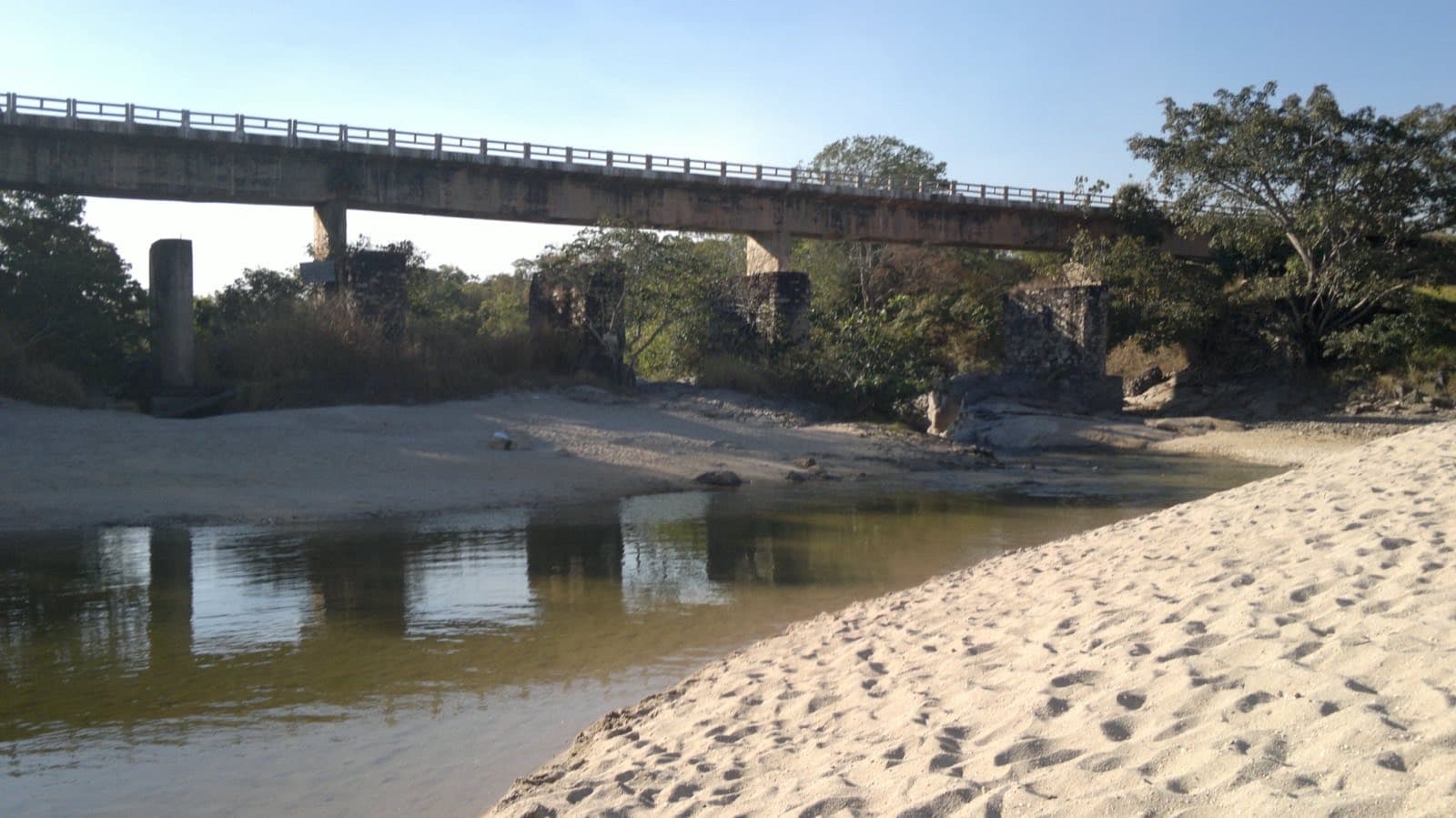
Photo 1 of 3

Image creditBruno Posnik RoloffCC BY-SA 4.0Wikimedia Commons

Before you head out

Status today

Check today’s opening with the operator before you head out.

Weather at this place

Loading forecast…

Precautions on site

Visitors losing their way and no cell signal. Don't cut shortcuts across wet grasslands; walking to the view does not mean you can swim at every spot.

For your safety: hire a guide.

Find local guides →

When to go

To be confirmed

The existence of old visit reports does not prove it is currently open. Formally confirm the authorized itinerary and the required guiding with the National Park.

Plan your visit: Authorized itinerary and required guiding, formally with the National Park.

Guide text · reviewed · PT · ES · EN

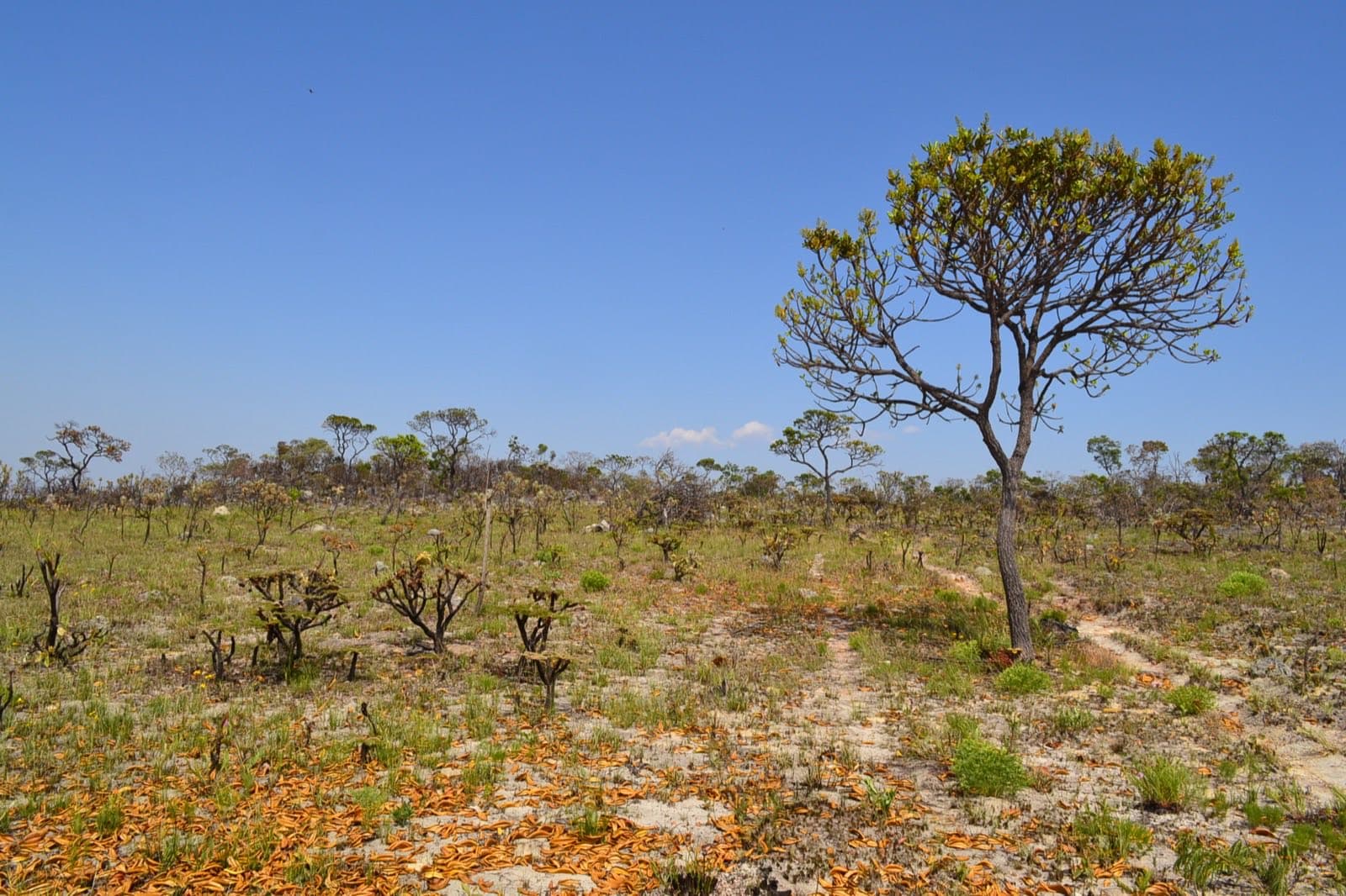
Sertão Zen is a walk of approximately eighteen kilometers in total, crossing high-altitude grasslands and landscapes added to the National Park in the 2017 expansion. It starts with a steep climb; after that, the terrain runs through grassland vegetation, rock outcrops and areas sensitive to foot traffic.

The route avoids wet grasslands: shortcuts opened by visitors can degrade areas that look resilient but take a long time to recover. The reference to “arnica” should be understood as a common name for local plants, not as automatically identifying the European species Arnica montana.

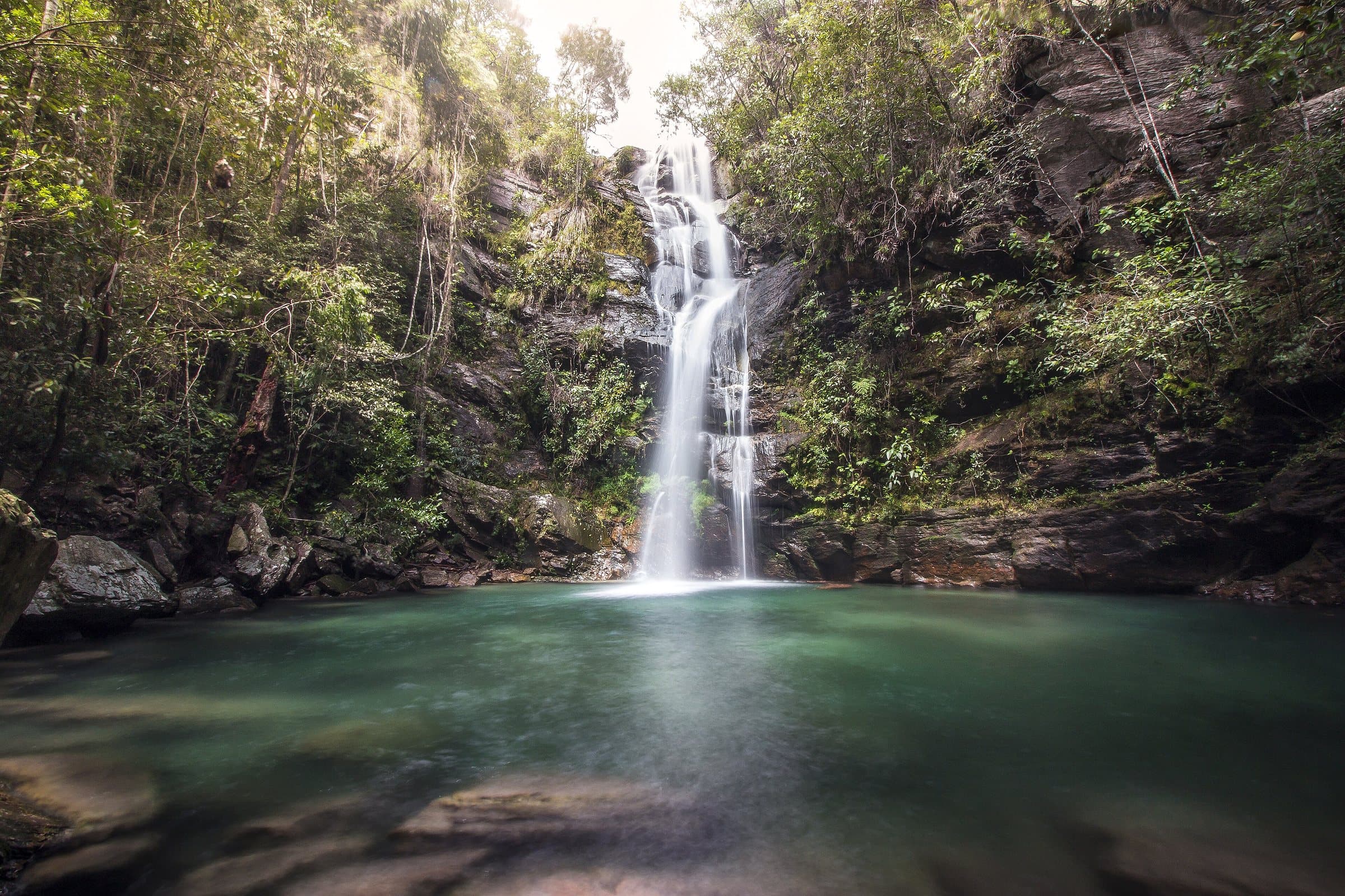
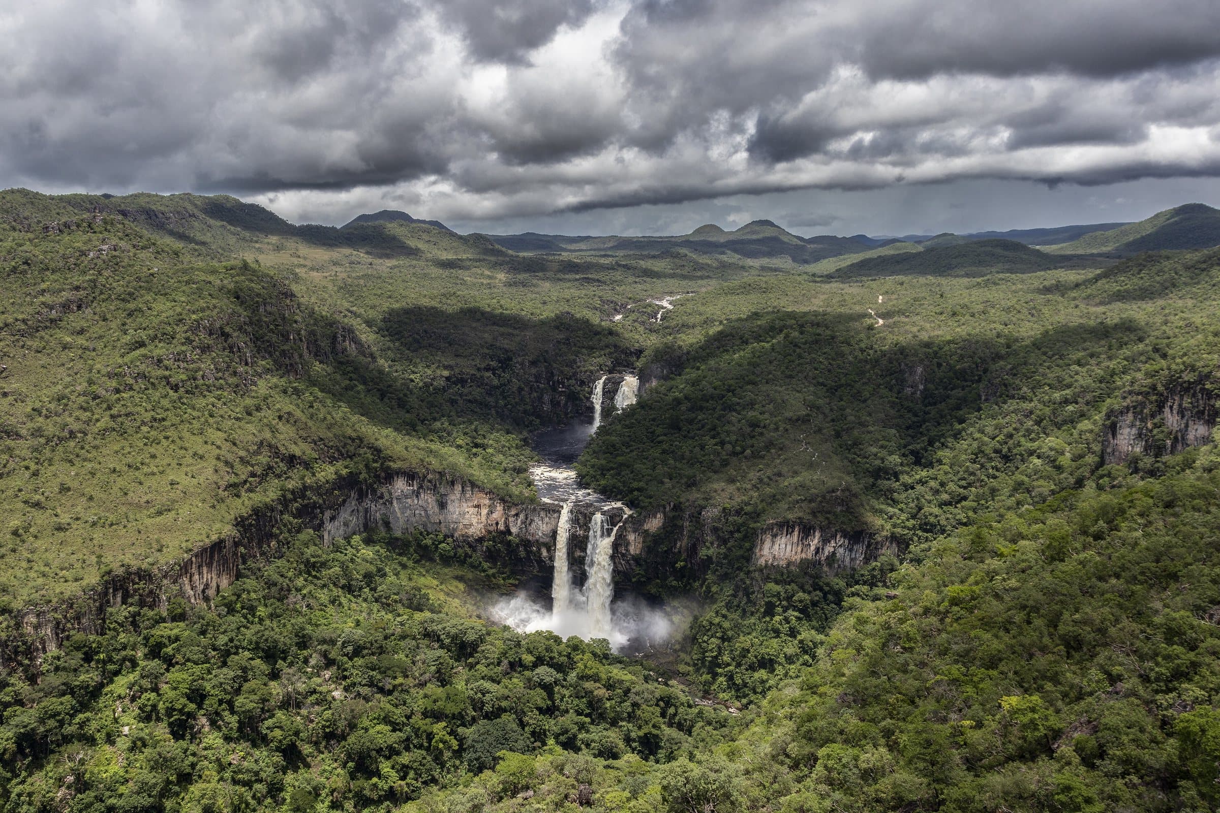
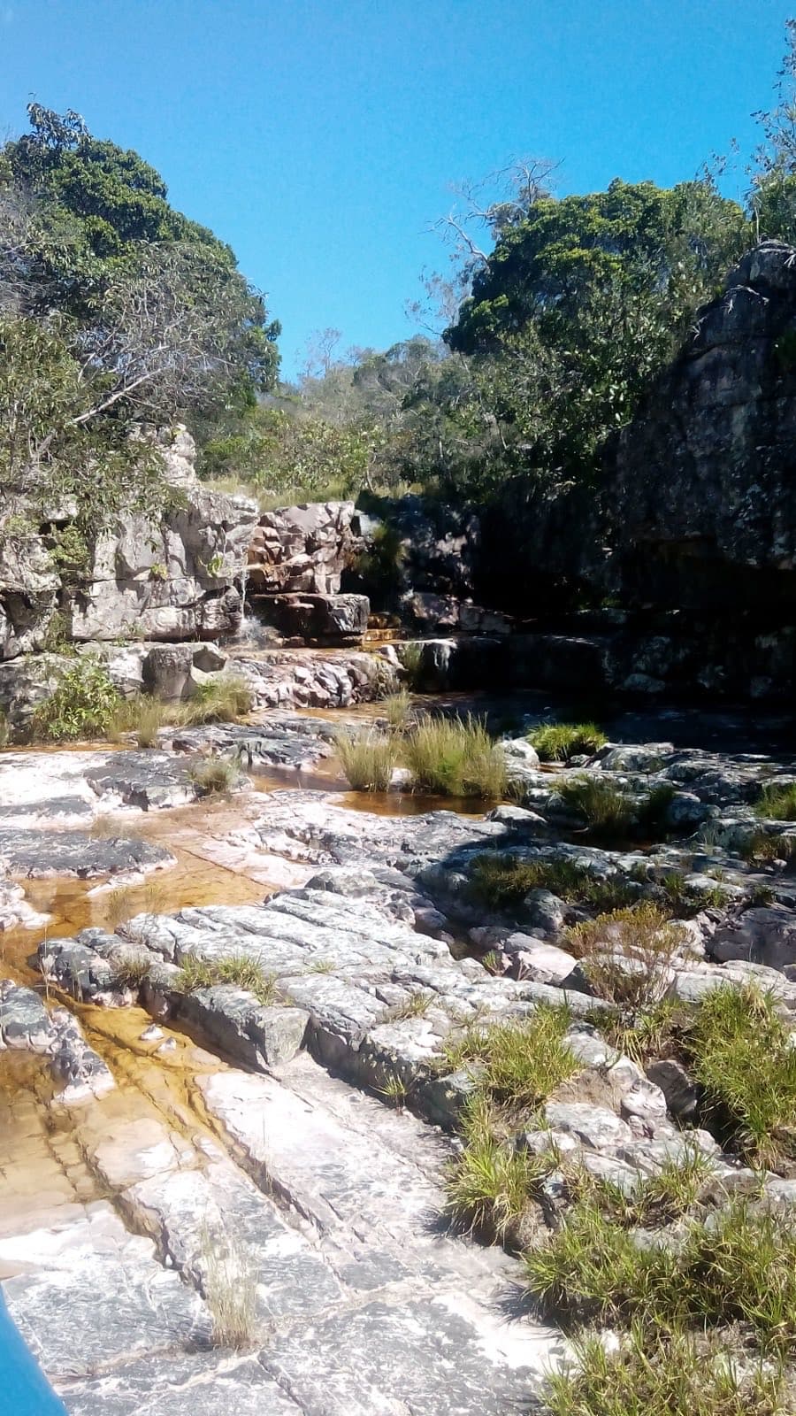
A small waterfall of about six meters and a caramel-toned pool come before views of a much larger waterfall, estimated at 150 meters. Walking to the view does not mean you can swim at every spot. Some stretches have no cell signal; walk with a guide and proper means of navigation.

Access status: formally confirm the authorized itinerary and the required guiding with the National Park. The existence of old visit reports does not prove it is currently open.

Explore on the map →

Before you go

It starts with what the guide researched and stays current thanks to visitors. Tap or hover over the votes to see how the community answered.

GuideCommunity

  • Arriving by car

    according to the guide

  • Hiking effort

    according to the guide

  • Price paid

    according to the guide
    R$ 0 to R$ 30

    Historical range, not the current rate

  • Pets

    no information yet
    The guide does not say

    We have not found a confirmed public policy for this visit. Contact the operator before bringing your pet.

  • Kids

    no information yet
    The guide does not say

  • Local guide

    no information yet
    The guide does not say

Prices and bookings

Confirm the price and what is included when booking.

The historical range helps compare outings; it is not the current rate and does not necessarily include a guide or transportation.

The route

Approximately 18 km in total, with a steep climb at the start.

When to go · according to visitors

Answers per month
MonthAnswersRecommended by the guideRainy season
January—NoYes
February—NoYes
March—NoYes
April—NoYes
May—NoNo
June—NoNo
July—NoNo
August—NoNo
September—NoNo
October—NoNo
November—NoYes
December—NoYes
  • Rainy season (November to April): more rain and a higher risk of flash floods.

Getting there

Approximate driving distances · Sertão Zen parking area and trailhead

  • Vila InfinitoOpenStreetMap estimate≈ 41.9 km≈ 48 minRoute
  • São JorgeOpenStreetMap estimate≈ 39.8 km≈ 42 minRoute
  • Alto Paraíso de GoiásOpenStreetMap estimate≈ 2.7 km≈ 6 minRoute
  • CavalcanteOpenStreetMap estimate≈ 91.9 km≈ 1 h 36Route

Estimated times without stops; dirt stretches usually take longer.

Four fixed bases: Vila Infinito and the centers of São Jorge, Alto Paraíso de Goiás and Cavalcante. Routes measured on Google Maps where available; where the route passes through a measured base, the leg to it is added; the rest are OSRM / OpenStreetMap estimates. Where no distance is shown, the link opens the route on Google Maps. Walking trails are not included.

Distance sources

Road estimates: OSRM / OpenStreetMap. Maps may suggest a different route. Checked on Oct 5, 2026.

Access source ↗

The road, as visitors found it

In the guide: About 2 km of dirt road between the paved town streets and the parking area. Arrange the authorized starting point with your guide and confirm conditions for low-clearance cars.

Contact this place

Official Instagramnot listed yet
Official websitenot listed yet

We do not have a confirmed direct channel yet. Ask the tourist service center or a local guide.

Other ways to find the place

Contact suggestions are reviewed by the curators before they appear here.

Tips from visitors

Photos from visitors

The place, the terrain and the trails

Where to arrive and start · Sertão Zen parking area and trailhead. Starting point given by Caminho dos Veadeiros on Wikiloc. Access leaves from the end of Rua do Segredo and passes Córrego Passatempo and the Samasati residential development. The parking area is before the gate; confirm access conditions and follow the marked trail.

See the point, its directions and source

The green markers show where to start the visit. Check each point’s type: a property reference marks the establishment, not the parking spot or the exact trailhead.

  • Trailhead

    Sertão Zen parking area and trailhead

    Starting point given by Caminho dos Veadeiros on Wikiloc. Access leaves from the end of Rua do Segredo and passes Córrego Passatempo and the Samasati residential development. The parking area is before the gate; confirm access conditions and follow the marked trail.

    Location reference · checked Sep 14, 2026. Follow local signs when you arrive.

Preparing the Chapada map…
Community routes · Trilha Cachoeira do Sertão Zenby Veadeiros Trekking · Out and back · ≈ 19.71 km · climb ≈ 590 m · Difficult on WikilocView routes and elevation

Community routes

Visitor recordings on Wikiloc help you get to know the route and its stops. Measurements are approximate and belong to the recorded track; elevation gain adds up the climbs or descents. Difficulty is the author’s own rating and may differ from the guide’s classification. Check current conditions with the attraction’s operator.

To overlay a route on the map above, download its GPX file from Wikiloc and open it in “Overlay a GPX trail”. Wikiloc may require you to log in to download the file.

Partial curation; sorting only covers the routes listed here.

Pair it with these places

See all · Landscape