
WaterfallMunicipality of São João d’Aliança
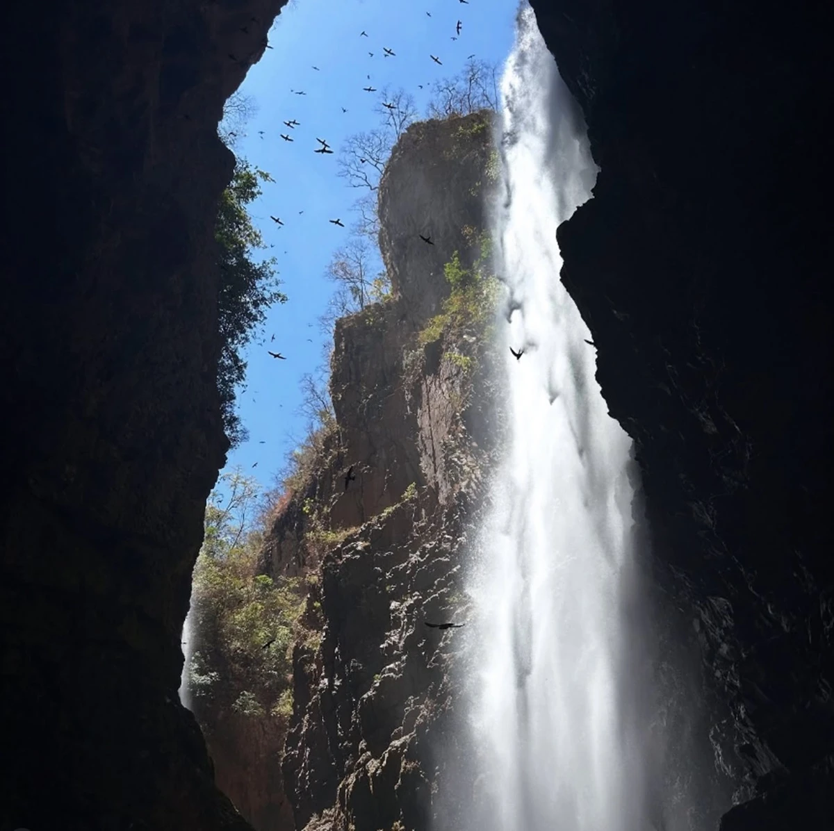
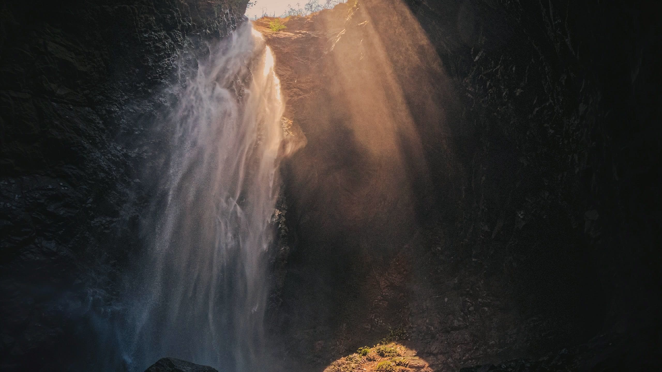
Cachoeira do Dragão
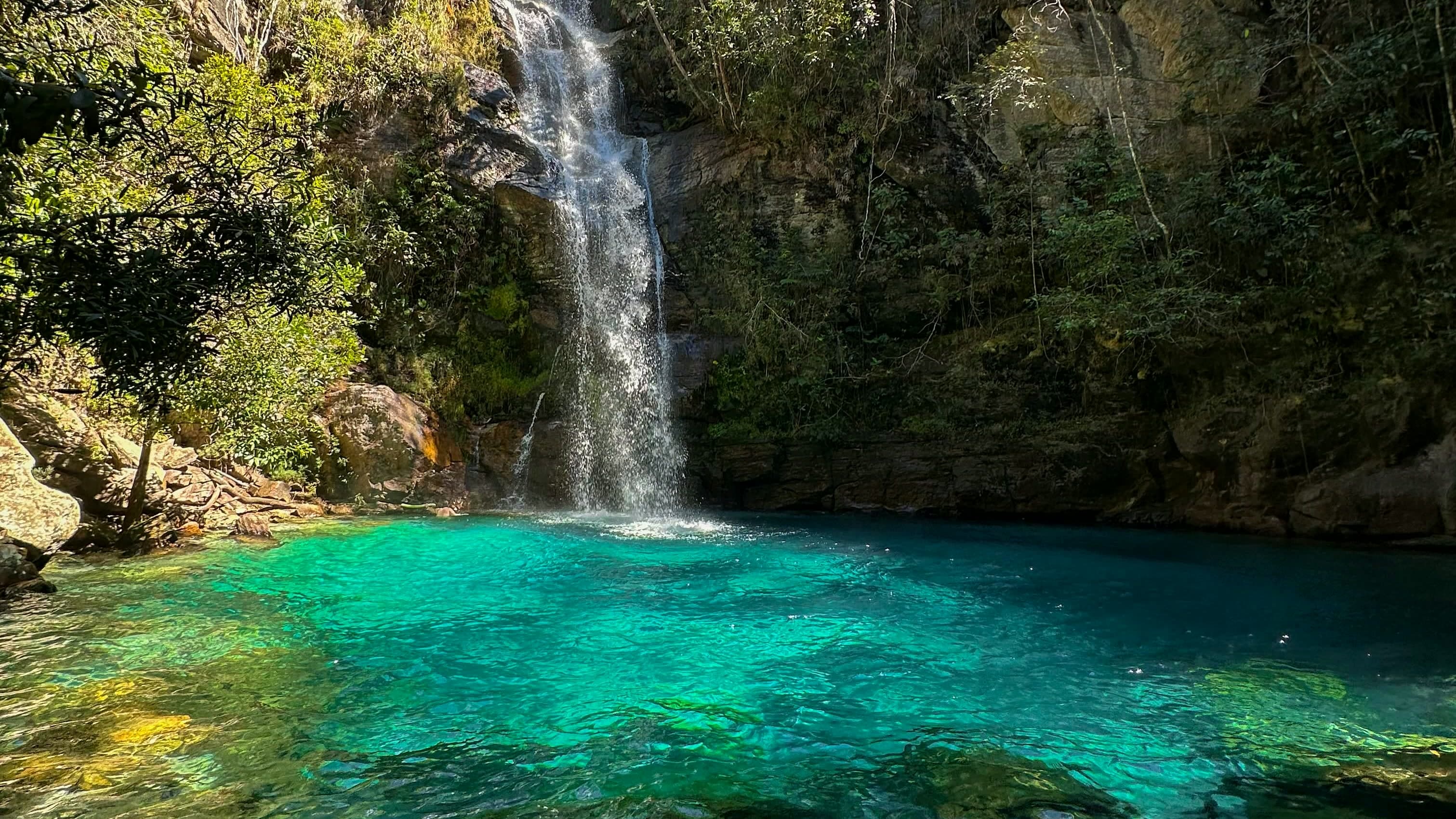
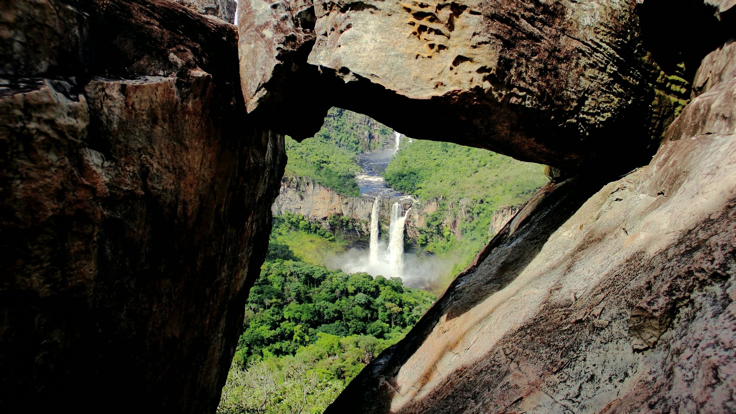
A more physically and technically demanding experience in the area beyond Macaquinhos: about eight kilometers in total, much of it in the water, with three sections that require swimming.
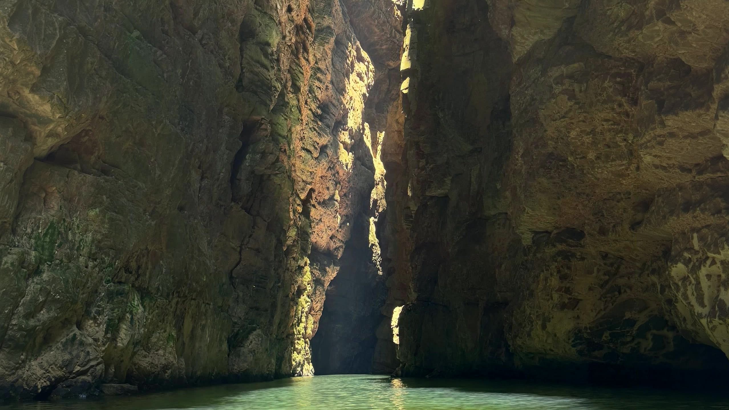
Community photo: David Vieira · CC BY-SA 4.0
Community photo: David Vieira · CC BY-SA 4.0
- Arriving by car
- Difficult access
- Sep 2026
- Price paid
- R$ 380 per person
- Aug 2026
- Need a local guide?
- Required
- Sep 2026
- By car
- ≈ 44.7 km from Alto Paraíso de Goiás
Before you head out
Status today
Check today’s opening with the operator before you head out.
Weather at this place
Loading forecast…
Precautions on site
There are three sections that require swimming, through canyons, pools and cold water. The equipment includes a life jacket, a support board and a wetsuit, provided or rented depending on the operation. It is not a casual add-on to the regular visit to Macaquinhos.
For your safety: hire a local guide.
Find local guides →When to go
Dry season
Visits in the dry season, by appointment, with an accredited guide and stages on land and in the water.
Confirm before you go: operation, local guide, equipment, river level and booking; arrange the schedule, route and transport before booking.
Contact this place
Other ways to find the place
Dragão is described as a more physically and technically demanding experience, in the area beyond Macaquinhos, where the Macaquinhos and Macacão rivers connect. The indicated access is approximately eight kilometers in total, with much of the route in the water and three sections that require swimming.
The itinerary combines canyons, pools and cold water. Book in advance and go with a local guide prepared for that specific route.
Before you go
Our team checked these values first; visitors keep them current. Tap the votes to see how visitors answered.
Our checkVisitors
Arriving by car
Our check, updated Sep 2026Difficult accessThere may be significant obstacles, steep climbs, stretches that are hard on low cars, or a need to arrange the trip by 4×4. Check the page to see whether this applies to the whole way or only the last stretch. High clearance is not the same as 4×4: one sits higher off the ground, the other drives all four wheels.Hiking effort
Our check, updated Sep 2026Very intenseSustained effort, rugged terrain, traverses and overnight expeditions. For experienced people, with equipment and guiding suited to the itinerary.Price paid
Our check, updated Aug 2026R$ 380 per personPets
no dataNo information yetWe have not found a confirmed public policy for this visit. Contact the operator before bringing your pet.
Kids
Our check, updated Sep 2026Not recommendedNot an outing for children: it includes more than 1 km of swimming in very cold water, with a wetsuit, helmet and life vest, and a very steep climb.
Read policy ↗Checked on Oct 25, 2026
Need a local guide?
Our check, updated Sep 2026Required
No information yet: best time
Tickets and costs
R$ 380 including entry and wetsuit; water shoes R$ 40; quad bike R$ 100. Local guide required.
Prices checked on Aug 5, 2026. Confirm when booking.
The route
Approximately 8 km round trip, much of it in the water, with three swimming sections.
Guiding
Accredited local guide, with advance booking and payment. Confirm the life vest, the float board and wetsuit rental.
Getting there
Approximate driving distances · Cachoeira do Dragão, São João d’Aliança
- Vila InfinitoRoute
- Pousada Camarásby way of Alto Paraíso de Goiás≈ 46.5 kmRoute
- São Jorgemeasured on Google Maps≈ 78.7 kmRoute
- Alto Paraíso de Goiásmeasured on Google Maps≈ 44.7 kmRoute
- CavalcanteRoute
Approximate driving distances for Vila Infinito, Pousada Camarás and the centers of São Jorge, Alto Paraíso de Goiás and Cavalcante where a reliable arrival point is mapped. Some routes were checked in Google Maps; the others are OSRM / OpenStreetMap estimates. Where no distance is shown, the link opens the route in Google Maps. Walking trails are not included.
When the route passes through another base: the OSRM / OpenStreetMap leg to that base, plus the Google Maps route from there. Checked on Sep 15, 2026. Distance sources ↗
Distance sources
Routes checked on Google Maps; the distance varies with the route chosen. Checked on Sep 15, 2026.
The road, as visitors found it
Our check: There are 4×4 operations on the approach. Road improvements have allowed some arrivals by SUV without 4×4 drive, but they do not guarantee passage for low-clearance cars or in the rain. Arrange parking and the final transfer with the team.
Contact this place
Other ways to find the place
Tips from visitors
Photos from visitors
The place, the terrain and the trails
Where to arrive and start. The entrance and parking do not have a confirmed point on this map yet. Arrange your arrival with the operator or local guide using the contacts on this page before planning your route.
Routes and elevationVisitor recordings, with the distance and elevation of the whole route, are on Wikiloc. Search routes on Wikiloc ↗
Pair it with these places
See all · São João d’Aliança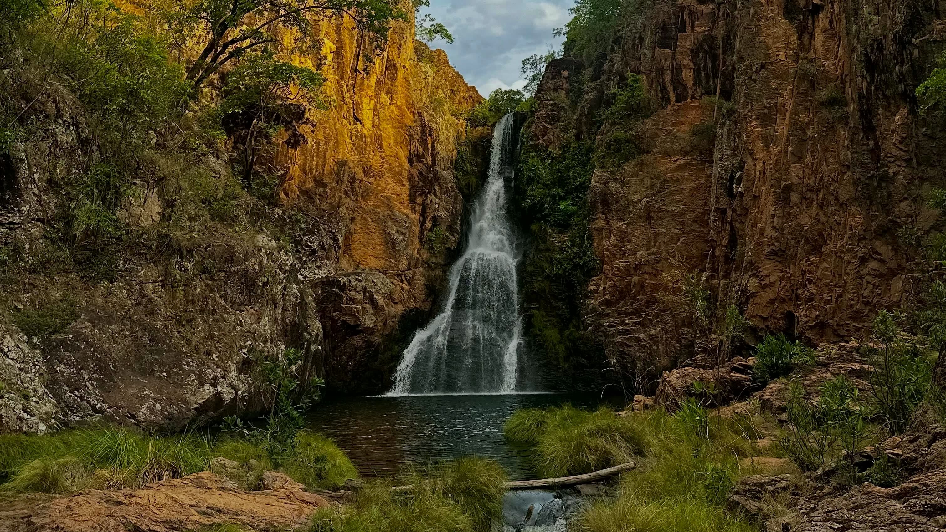 ComplexMacaquinhos≈ 1.9 km in a straight line
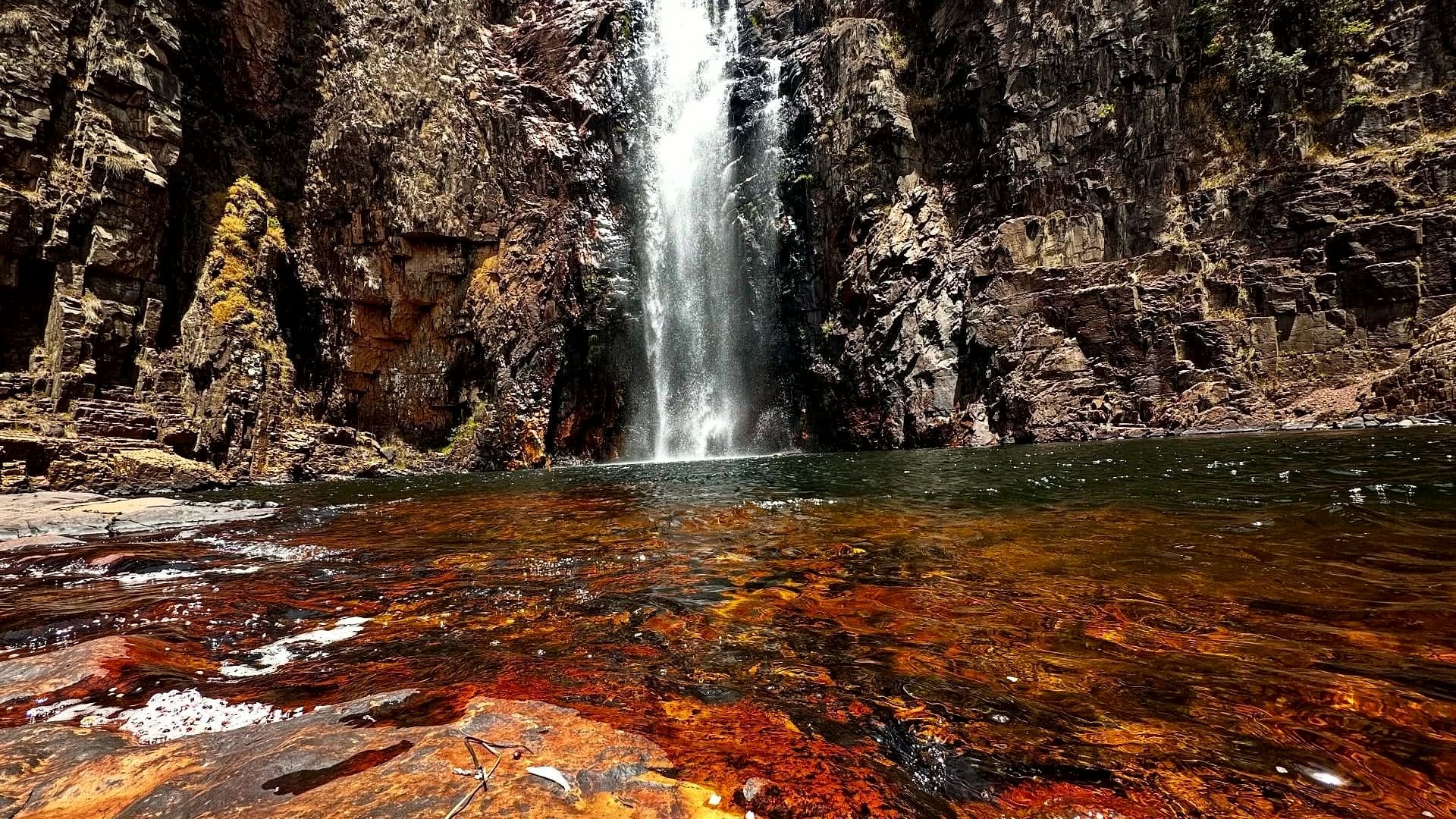 WaterfallCachoeira do Macacão≈ 2.7 km in a straight line
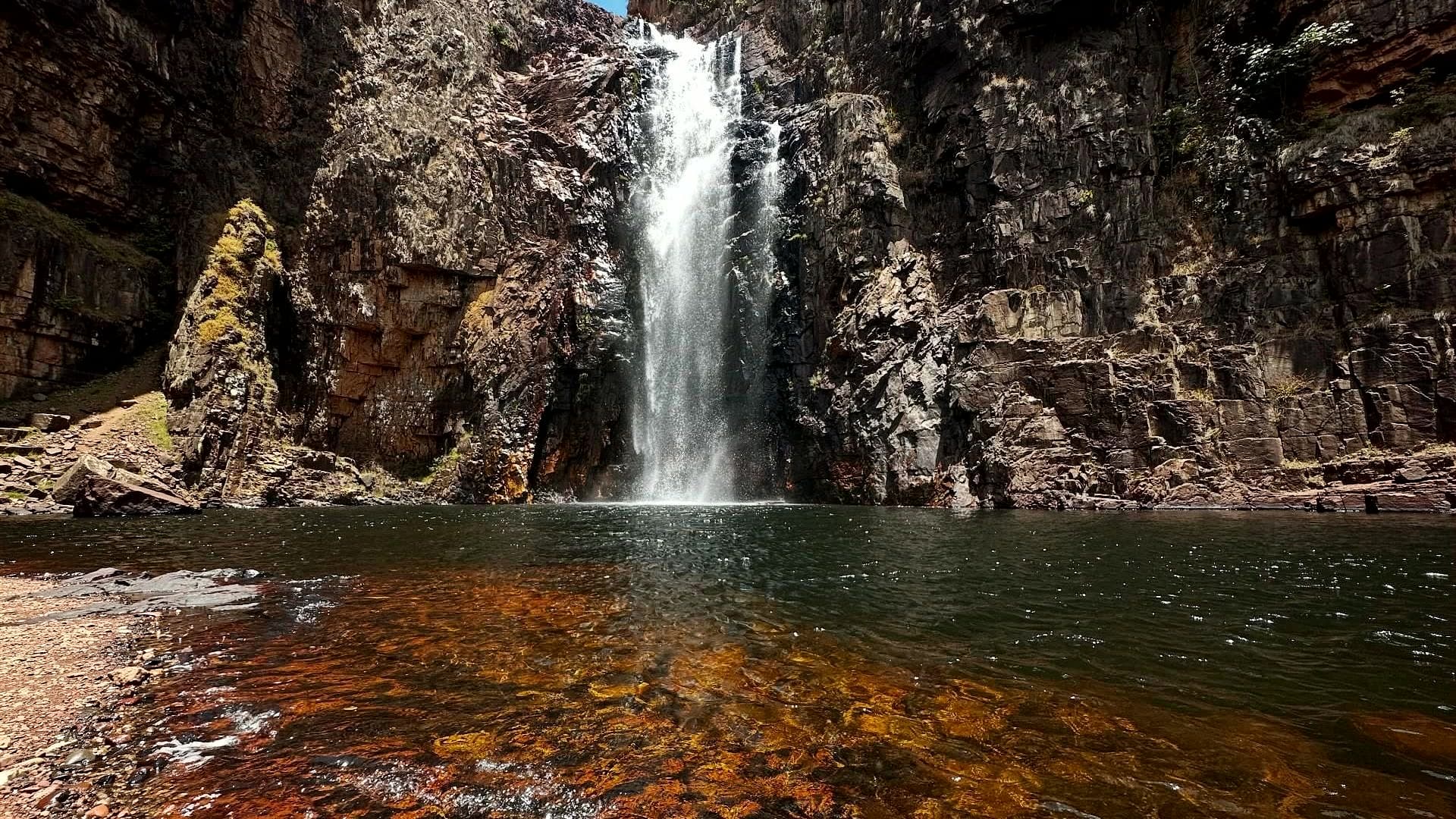 ComplexComplexo do Macaco≈ 5.6 km in a straight line
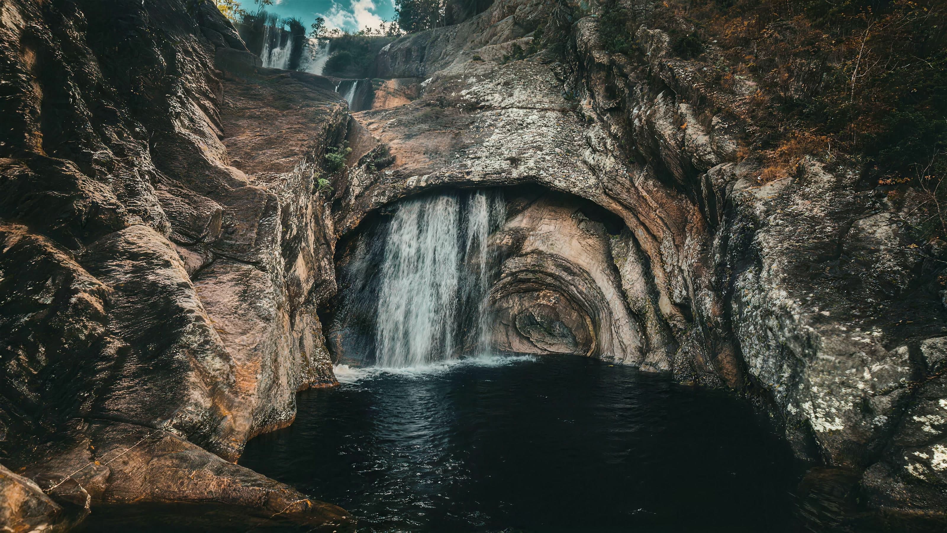 ComplexComplexo do Rio Caldeira≈ 14.8 km in a straight line
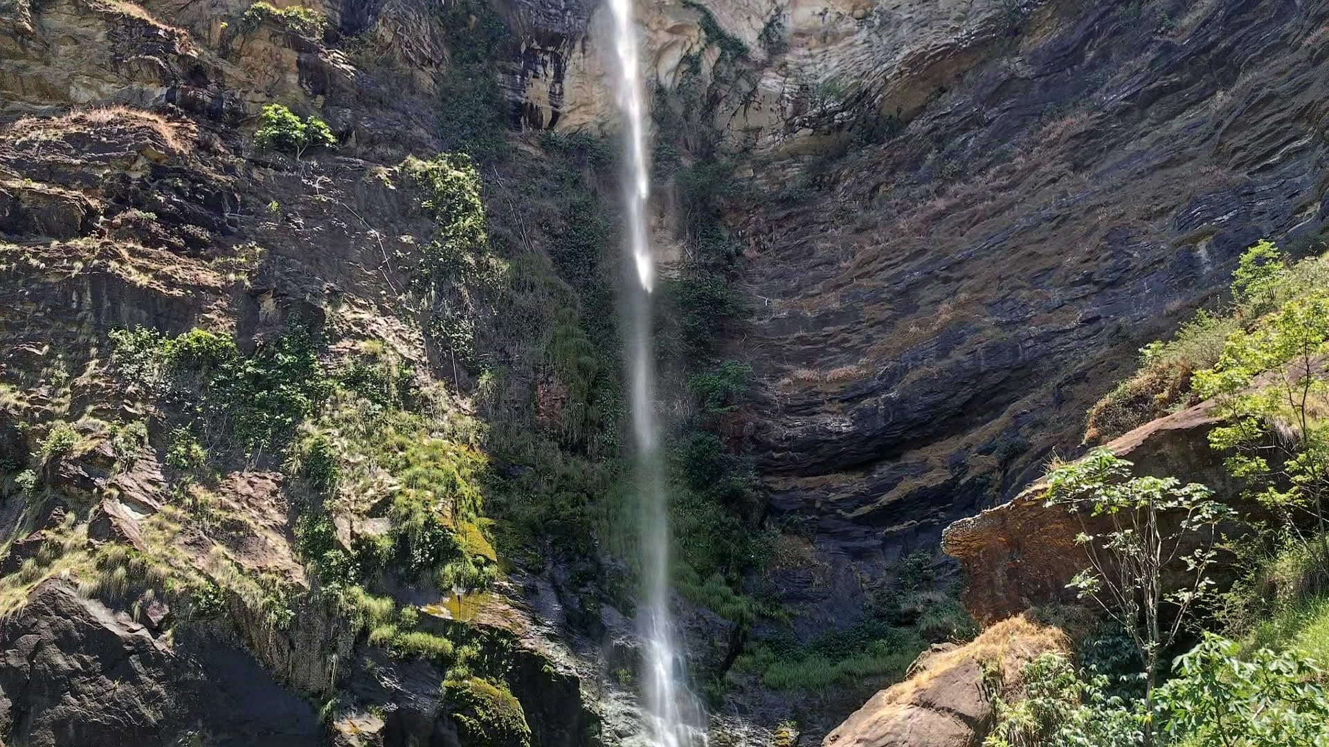 WaterfallCachoeira Simão Correia≈ 17.6 km in a straight line
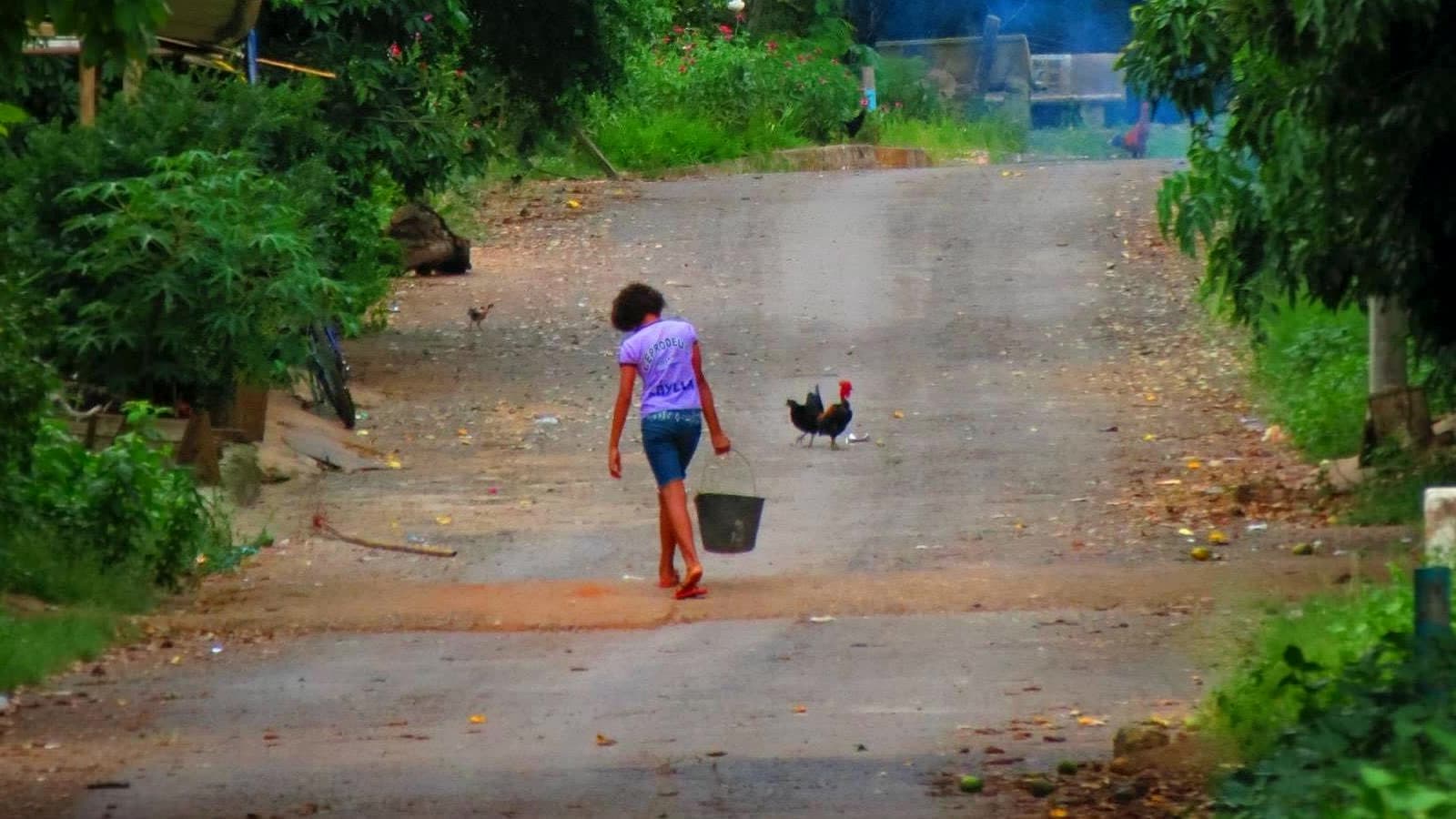 CultureComunidade do Moinho≈ 18.3 km in a straight line