
ComplexMunicipality of São João d’Aliança
Macaquinhos
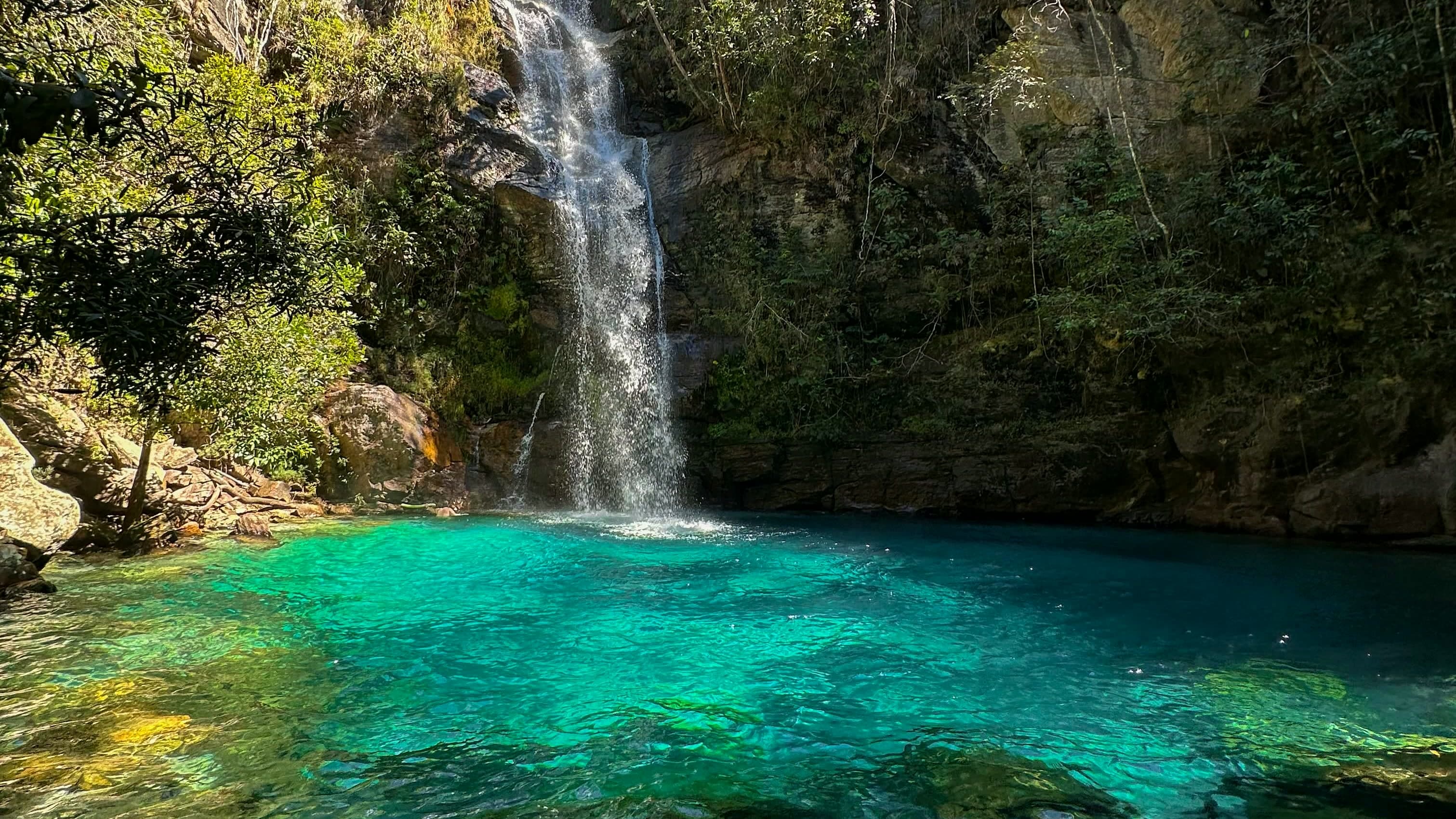
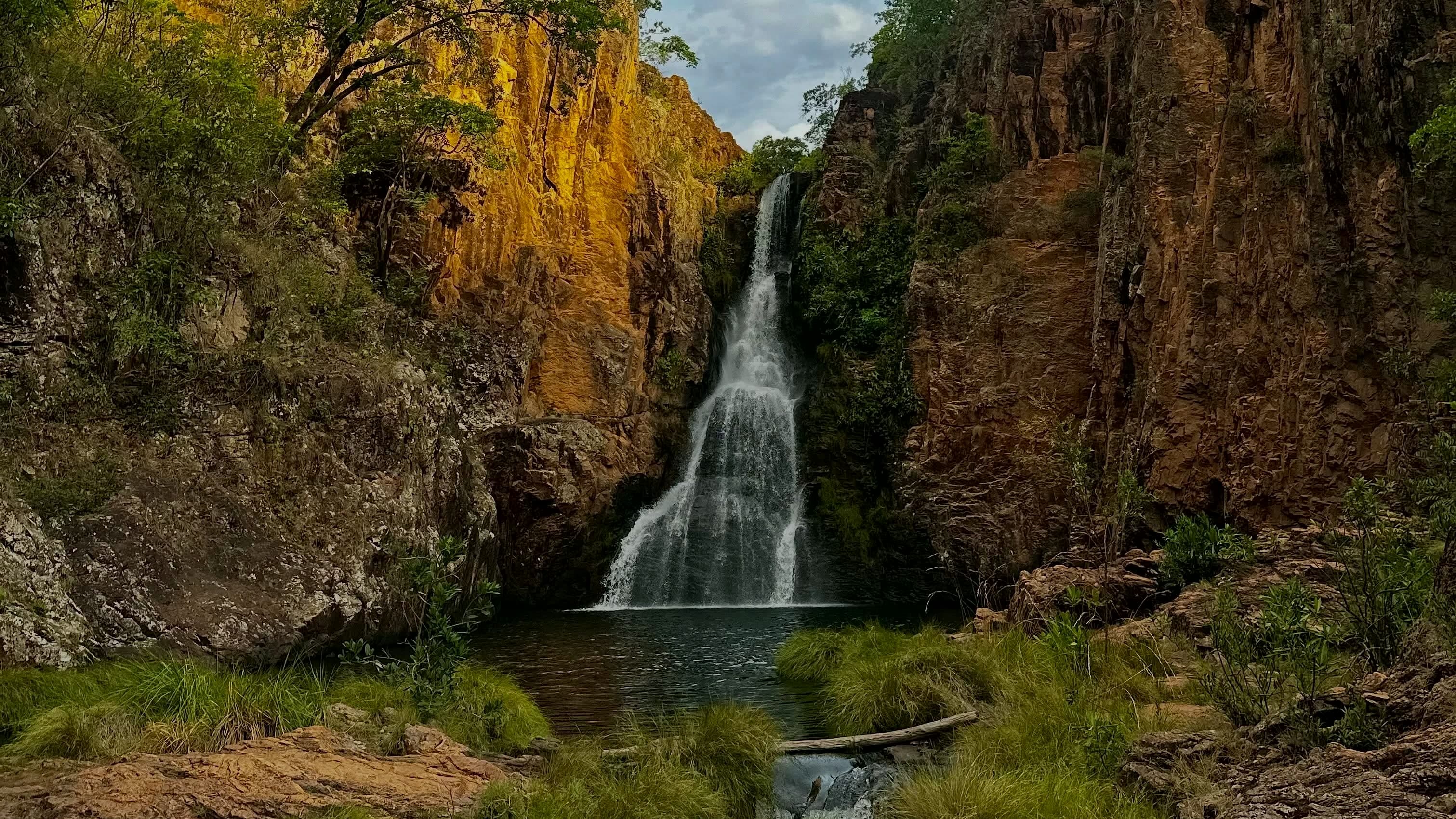
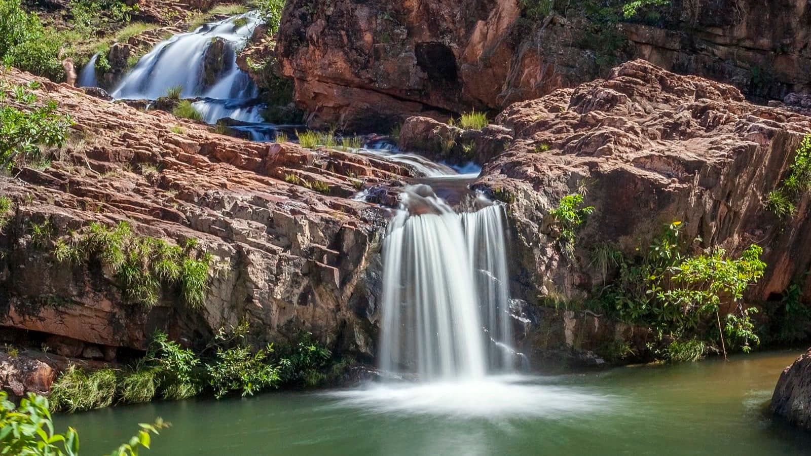
A sequence of approximately ten falls and pools along the watercourse that flows into the Rio Macaco, formerly known as Santuário das Pedras, with Cachoeira do Encontro, Caverna and Banho Pelado among the spots remembered.
Hours: Daily, 8am–5pm · last entry 2pm · the place’s Instagram, Oct 2026
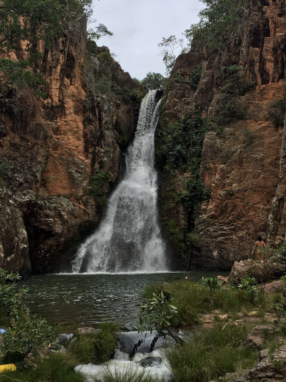
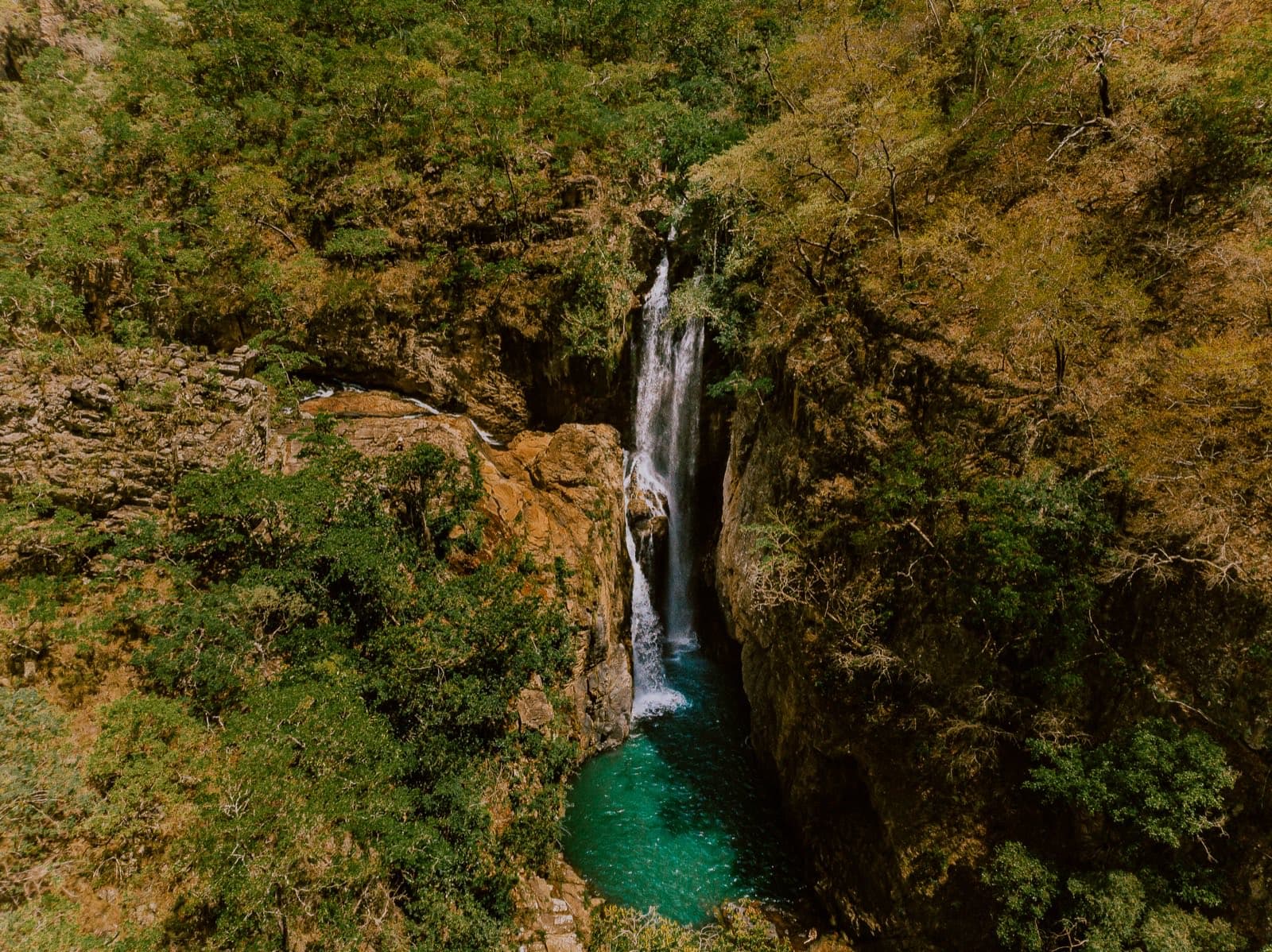
© Leobrj · CC BY-SA 4.0 · Wikimedia Commons
- Arriving by car
- Difficult access
- Sep 2026
- Price paid
- R$ 60 per person
- Nov 2026
- Pets
- No information yet
- no data
- By car
- ≈ 46.6 km from Alto Paraíso de Goiás
- ≈ 1 h 03
Before you head out
Status today
Check today’s opening with the operator before you head out.
Weather at this place
Loading forecast…
Precautions on site
The name Poço do Jump and reports of people jumping are not an invitation to jump: permissions and depth vary, and submerged rocks may not be visible. Enter the water at the points indicated by the person in charge. Respect privacy at Banho Pelado and do not photograph people without their consent.
For your safety: hire a local guide.
Find local guides →When to go
Year-round
The condition of the final descent varies with rain and maintenance. Confirm the recommended parking for your vehicle.
Confirm before you go: the current rule for Banho Pelado.
Contact this place
Other ways to find the place
The walk at Macaquinhos follows the river, and the terrain, water volume and depth change along the circuit.
Cachoeira do Encontro, where the Rio Macaquinhos joins the Córrego Fundão, has deep pools and greenish water. Caverna combines water and a rock cavity; Luz, Poço do Jump and Sereno are other spots people remember. Banho Pelado is an area associated with naturism.
Before you go
Our team checked these values first; visitors keep them current. Tap the votes to see how visitors answered.
Our checkVisitors
Arriving by car
Our check, updated Sep 2026Difficult accessThere may be significant obstacles, steep climbs, stretches that are hard on low cars, or a need to arrange the trip by 4×4. Check the page to see whether this applies to the whole way or only the last stretch. High clearance is not the same as 4×4: one sits higher off the ground, the other drives all four wheels.Hiking effort
Our check, updated Sep 2026ModerateClimbs, descents and short stretches of rock or gravel. Requires stamina and some hiking experience; heat and rain can make it harder.Price paid
Our check, updated Nov 2026R$ 60 per personPets
no dataNo information yetWe have not found a confirmed public policy for this visit. Contact the operator before bringing your pet.
Need a local guide?
Our check, updated Sep 2026Optional
No information yet: kids and best time
Tickets and costs
R$ 60 per person. R$ 20 for residents. Every day, with entry from 8h to 14h and the way out by 17h; a guide is up to you (Macaquinhos, on WhatsApp, Nov 18, 2026).
Prices checked on Nov 18, 2026. Confirm when booking.
The route
Low-clearance cars may need to park about 900 m before the entrance gate. That walk adds to the distance of the waterfall circuit.
Getting there
Approximate driving distances · Macaquinhos entrance
- Vila InfinitoOpenStreetMap estimate≈ 82.6 km≈ 1 h 39Route
- Pousada CamarásOpenStreetMap estimate≈ 45.9 km≈ 1 h 02Route
- São JorgeOpenStreetMap estimate≈ 80.4 km≈ 1 h 34Route
- Alto Paraíso de GoiásOpenStreetMap estimate≈ 46.6 km≈ 1 h 03Route
- CavalcanteOpenStreetMap estimate≈ 133.7 km≈ 2 h 29Route
Estimated times without stops; dirt stretches usually take longer.
Approximate driving distances for Vila Infinito, Pousada Camarás and the centers of São Jorge, Alto Paraíso de Goiás and Cavalcante where a reliable arrival point is mapped. Some routes were checked in Google Maps; the others are OSRM / OpenStreetMap estimates. Where no distance is shown, the link opens the route in Google Maps. Walking trails are not included.
Road estimates: OSRM / OpenStreetMap. Maps may suggest a different route. Checked on Oct 20, 2026. Arrival point source ↗
Distance sources
Road estimates: OSRM / OpenStreetMap. Maps may suggest a different route. Checked on Oct 24, 2026.
Arrival point source ↗The road, as visitors found it
Our check: Long rural road with rocks and descents, especially difficult for low-clearance cars on the final stretch. There have been improvements on steep ramps, but confirm whether your car should stay in the upper parking lot or can reach the entrance gate, especially after rain.
Contact this place
Other ways to find the place
Tips from visitors
Photos from visitors
The trail
- Distance
- 2.2 km one way · 4.4 km there and back
- Ascent
- ≈ 22 m
- Descent
- ≈ 144 m
- Min. / max. elevation
- 745 / 870 m
Ascent and descent are counted on the way out. Traced along OpenStreetMap paths (survey of Sep 14, 2026), checked on Oct 7, 2026. Elevations from the open AWS Terrain Tiles model, at about 30 m resolution. Approximate figures: confirm the permitted route with the attraction’s operator.
See visitor recordings on Wikiloc ↗The place, the terrain and the trails
Where to arrive and start · Macaquinhos entrance. Point listed as entrance and parking area. Confirm at the reception where to leave the car, depending on conditions on the final descent.
See the point, its directions and source
The green markers show where to start the visit. Check each point’s type: a property reference marks the establishment, not the parking spot or the exact trailhead.
Parking
Macaquinhos entrance
Point listed as entrance and parking area. Confirm at the reception where to leave the car, depending on conditions on the final descent.
Location reference · checked Sep 14, 2026. Follow local signs when you arrive.
Pair it with these places
See all · São João d’Aliança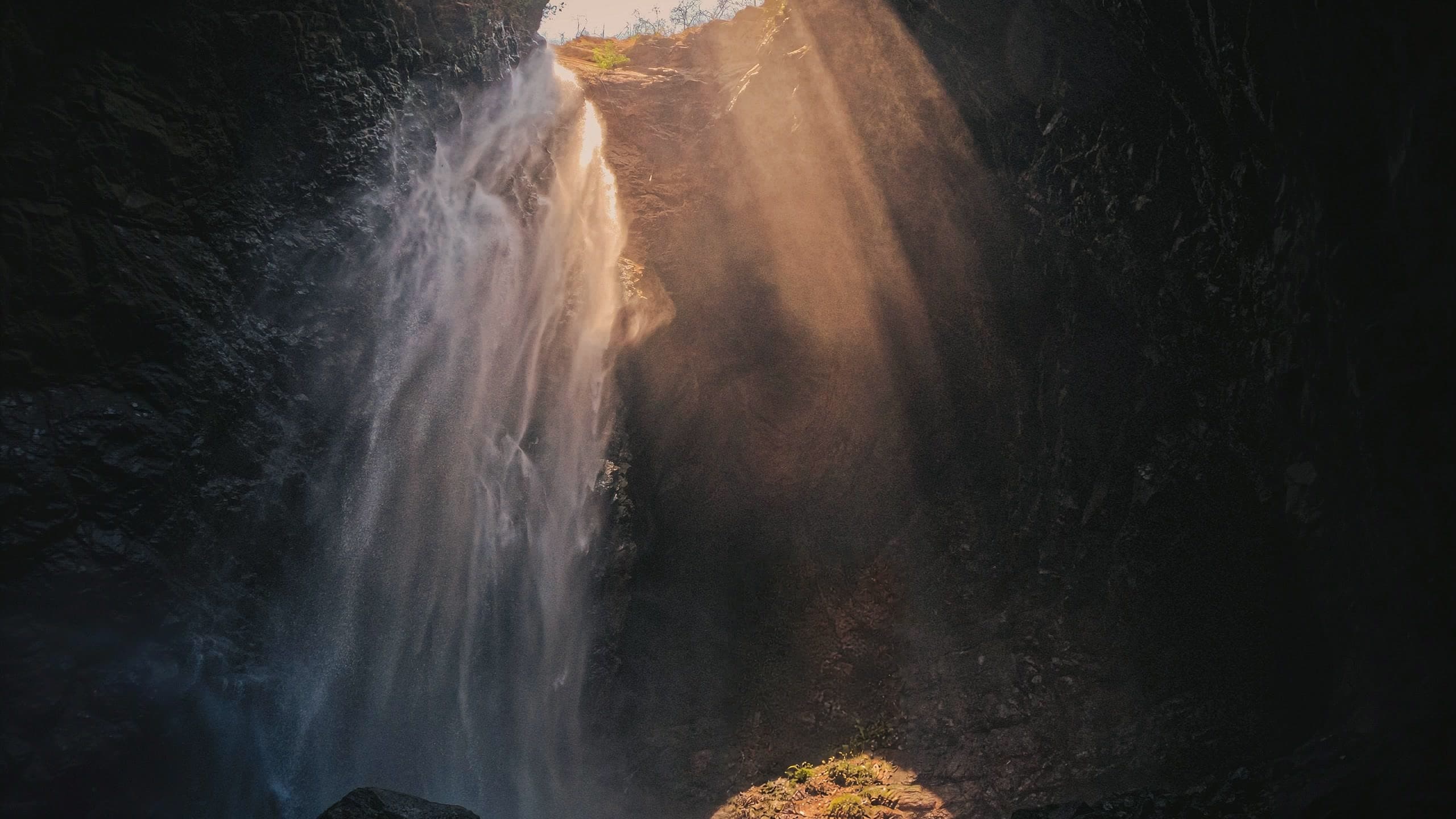 WaterfallCachoeira do Dragão≈ 1.9 km in a straight line
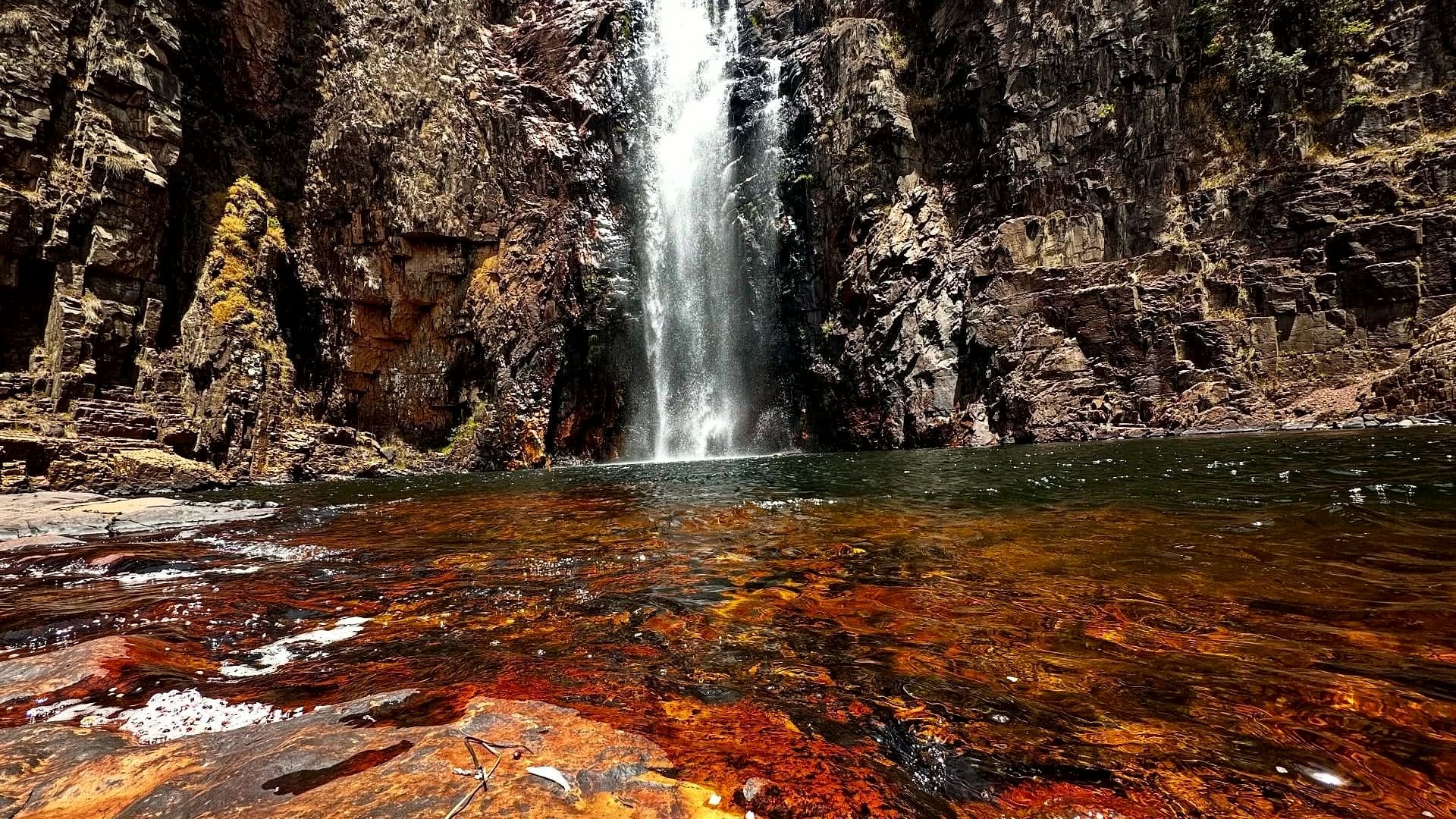 WaterfallCachoeira do Macacão≈ 4.7 km in a straight line
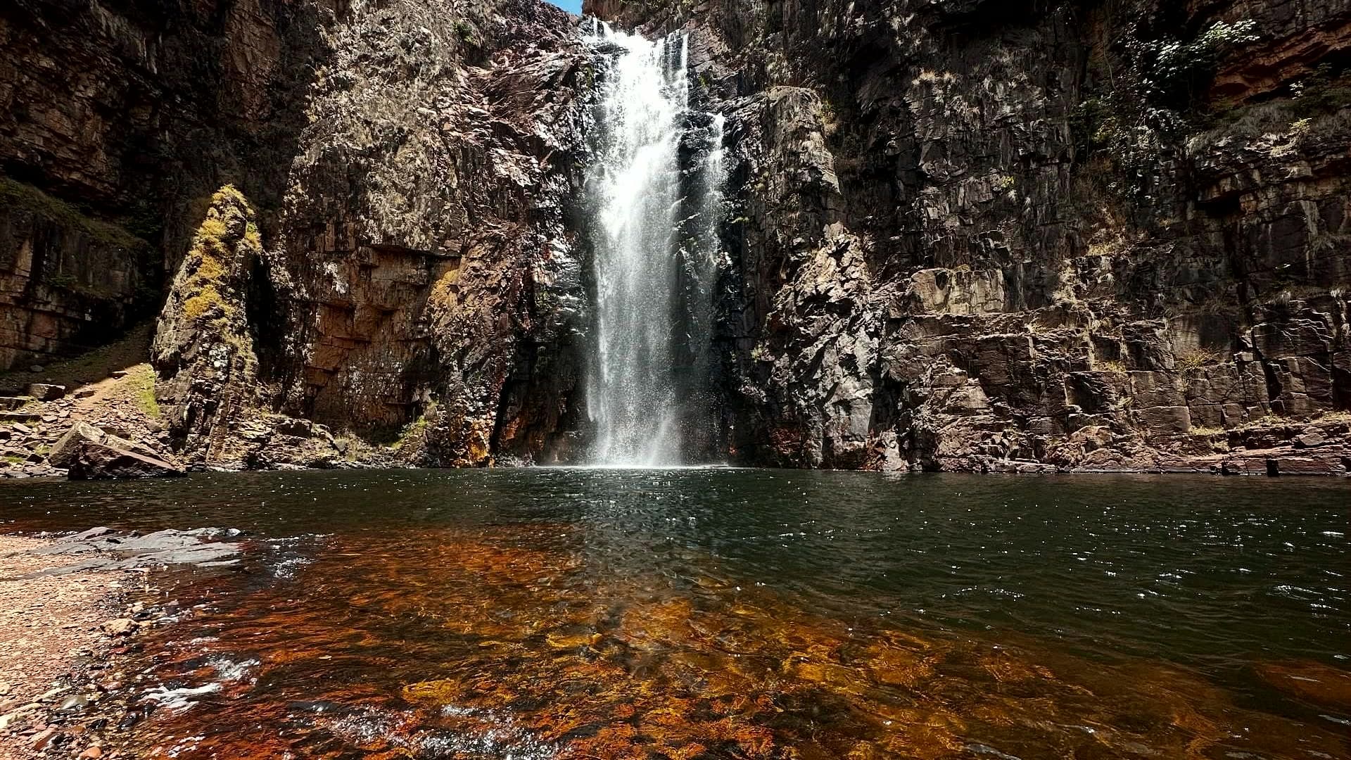 ComplexComplexo do Macaco≈ 7.2 km in a straight line
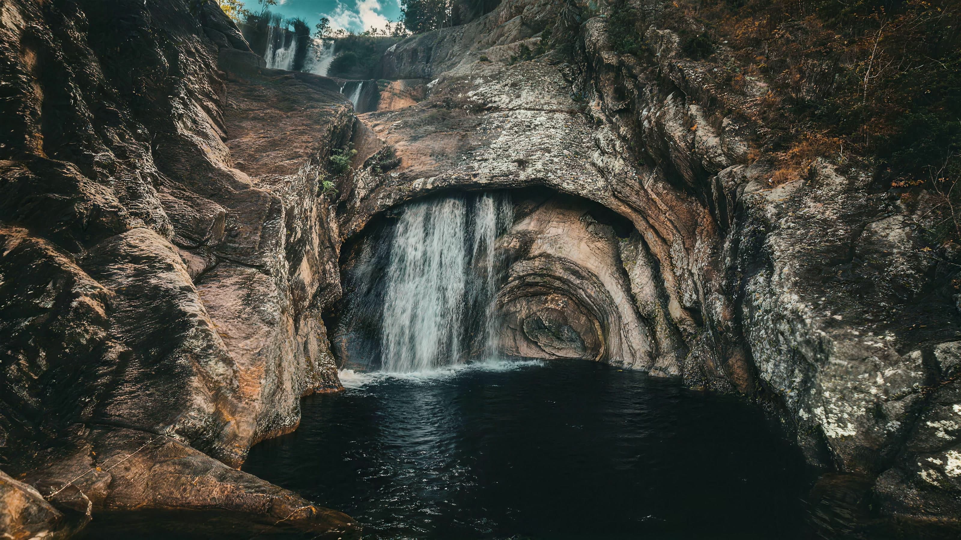 ComplexComplexo do Rio Caldeira≈ 16.7 km in a straight line
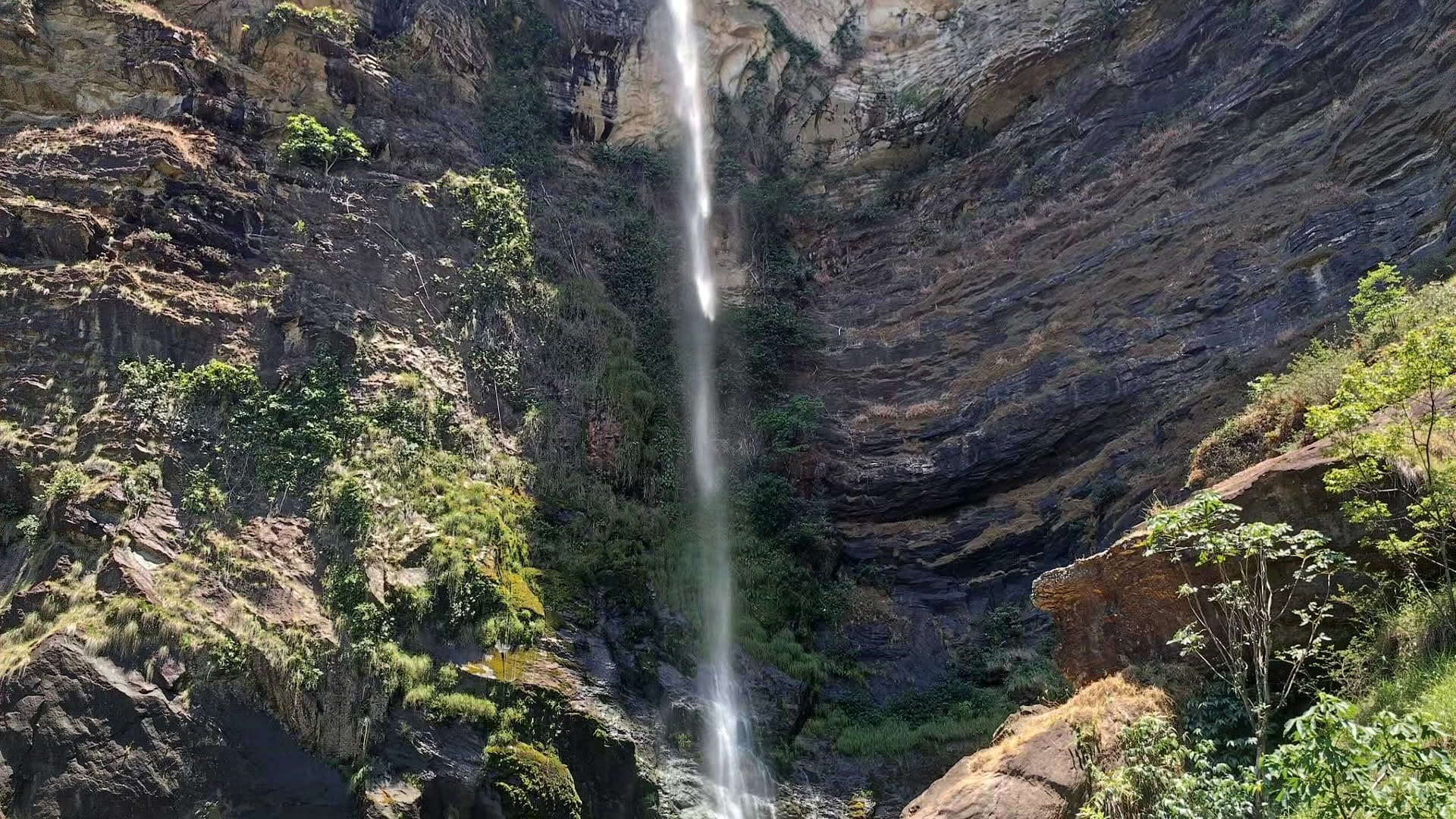 WaterfallCachoeira Simão Correia≈ 19.1 km in a straight line
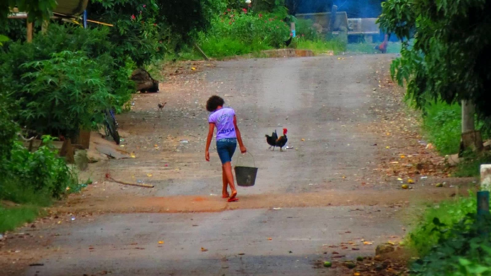 CultureComunidade do Moinho≈ 19.9 km in a straight line