WaterfallNear Cavalcante
Cachoeira Candaru
Part of Engenho II
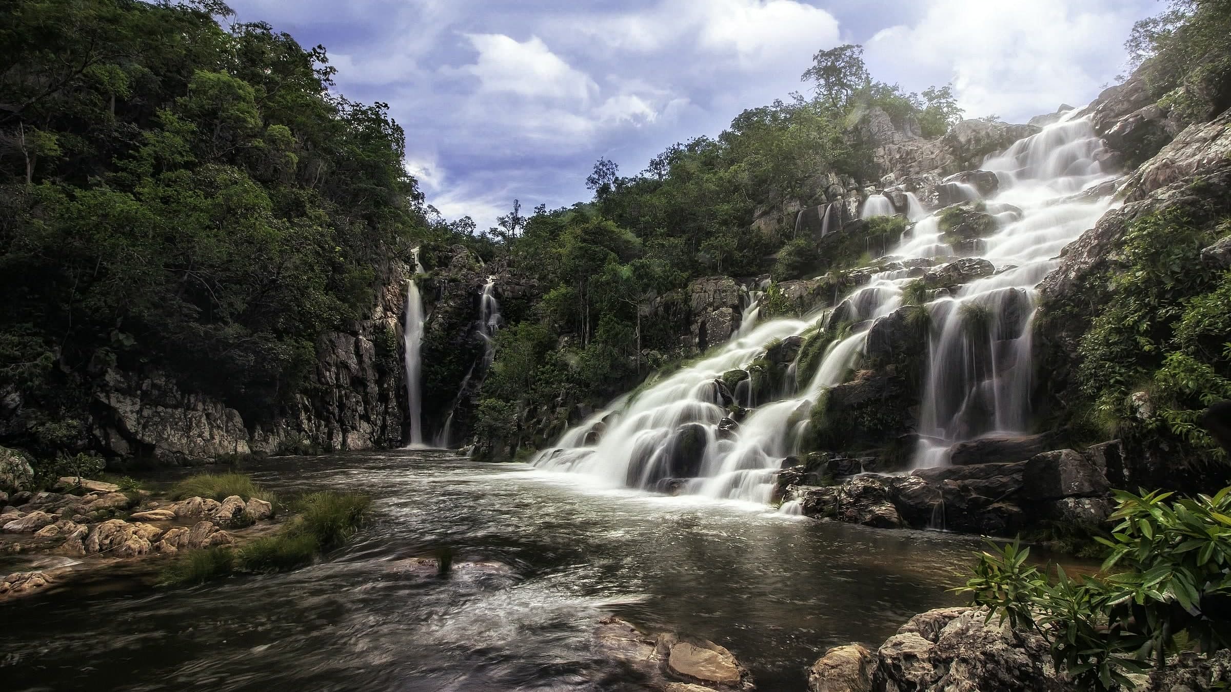
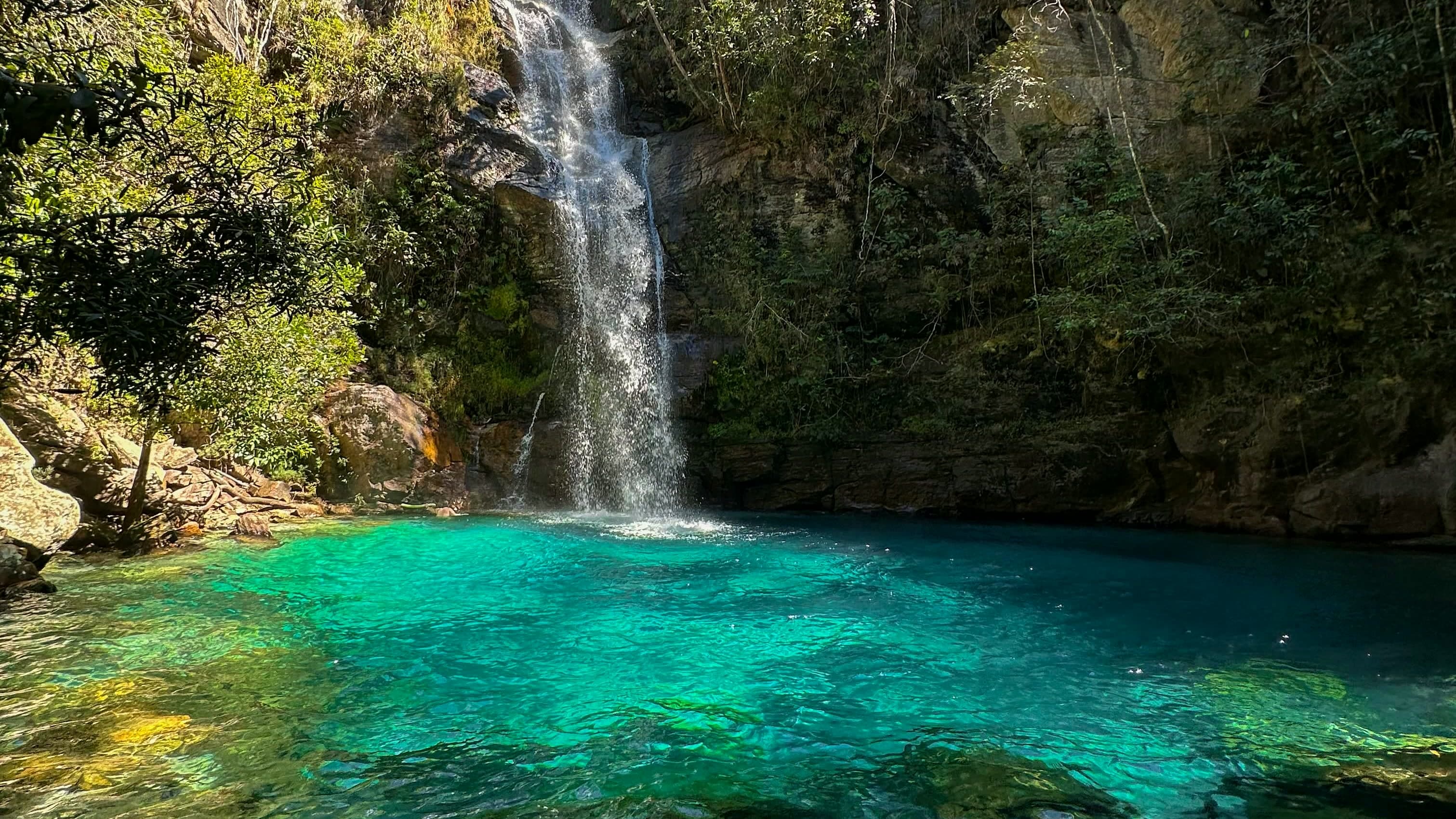
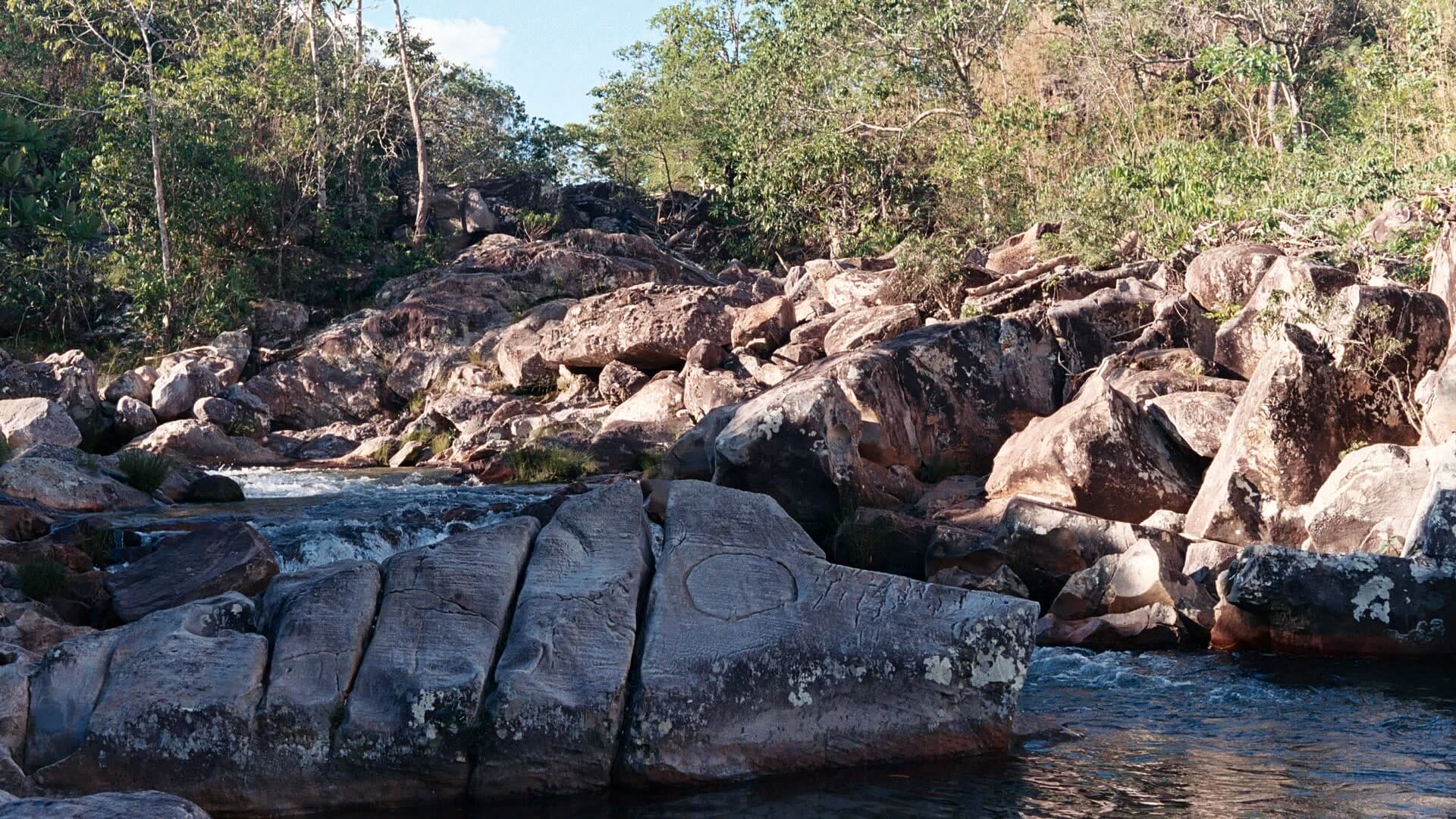
Two falls and two swimming levels amid rock and vegetation, in Engenho II; since a vehicle access was opened, about four hundred meters of walking remain.
Hours: Daily, 7am–3pm · confirm before you go · Google Maps, Oct 2026
- Arriving by car
- Take care on the access road
- Sep 2026
- Price paid
- R$ 60 per person
- Aug 2026
- Need a local guide?
- Required
- Sep 2026
- By car
- ≈ 26.9 km from Cavalcante
Before you head out
Status today
Check today’s opening with the operator before you head out.
Weather at this place
Loading forecast…
Precautions on site
The upper access crosses rocks: follow your local guide’s directions.
For your safety: hire a local guide.
Find local guides →When to go
To be confirmed
Confirm before you go: whether transportation is included and how much walking the chosen option involves.
Contact this place
Includes the channels of Engenho II, which runs this circuit.
Other channels
Other ways to find the place
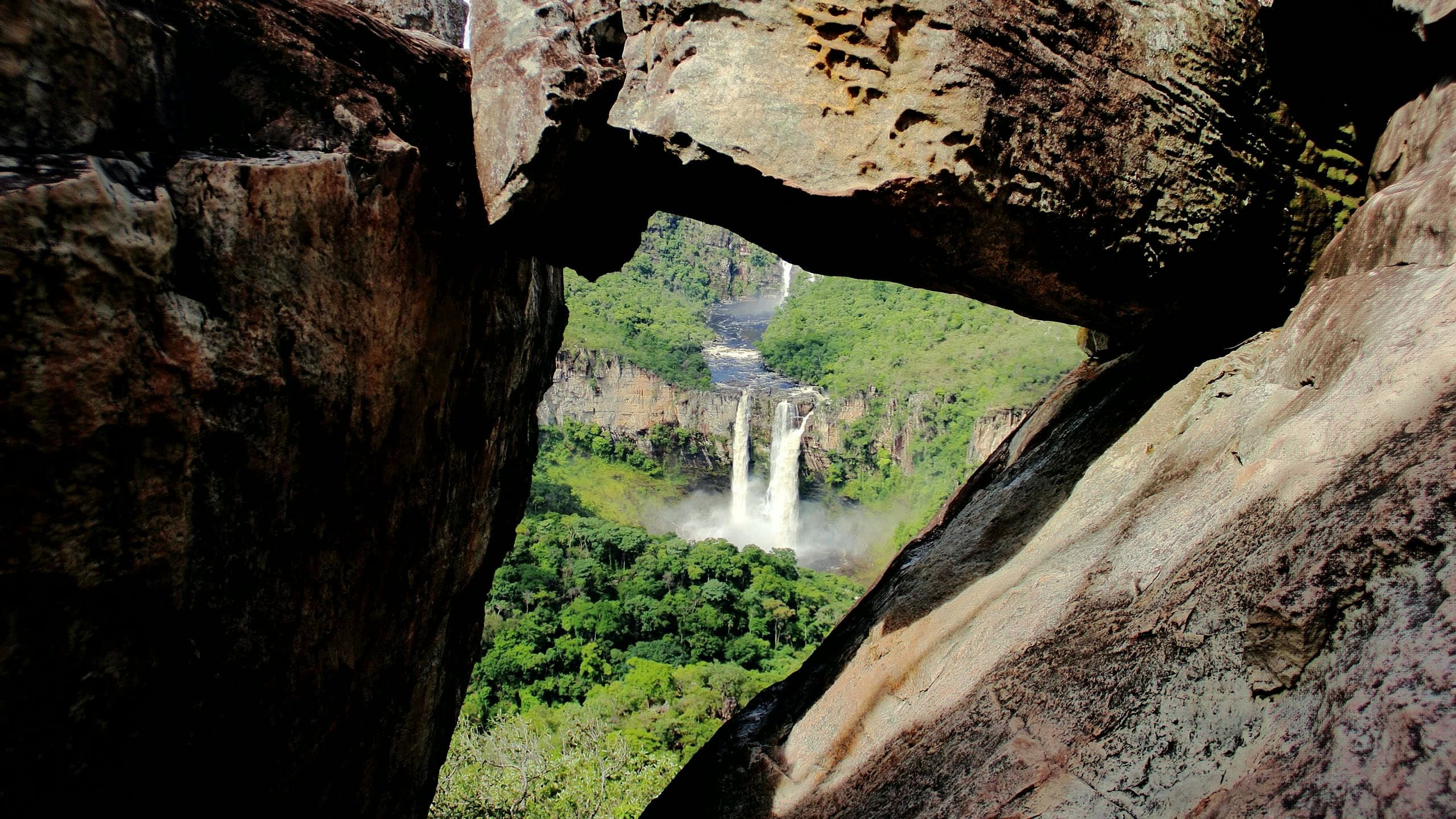
Candaru has two falls and two swimming levels in a landscape of rock and vegetation. Vehicle access cuts the walk to approximately four hundred meters from the drop-off point. The old route, much longer, still appears in trip reports and maps.
Reference prices in September 2026: R$ 55 in advance or R$ 60 on site, and local transportation listed at R$ 40 per person. The local guide is charged separately, per group of up to six people. Prices may change and depend on availability.
Before you go
Our team checked these values first; visitors keep them current. Tap the votes to see how visitors answered.
Our checkVisitors
Arriving by car
Our check, updated Sep 2026Take care on the access roadExpect a dirt or rural stretch, uneven ground or a long drive, or information about the vehicle needed is still missing. It does not mean you need a 4×4.Hiking effort
Our check, updated Sep 2026ModerateClimbs, descents and short stretches of rock or gravel. Requires stamina and some hiking experience; heat and rain can make it harder.Price paid
Our check, updated Aug 2026R$ 60 per personPets
Our check, updated Sep 2026Pets not allowedThe Complexo Turístico Kalunga terms prohibit entering with pets.
Read policy ↗Checked on Sep 15, 2026
Kids
Our check, updated Sep 2026Good for kidsWith the community transport the walk is short and the lower pool is shallow; reaching the upper pool means swimming against the current, and the way back is uphill.
Read policy ↗Checked on Oct 25, 2026
Need a local guide?
Our check, updated Sep 2026Required
No information yet: best time
Tickets and costs
R$ 55 online or R$ 60 at the gate. Optional internal transport: R$ 20 each way. A Kalunga local guide is required, per group of up to 6: R$ 200 for 1 waterfall, R$ 250 for 2 and R$ 300 for 3.
Prices checked on Aug 5, 2026. Confirm when booking.
The route
Approximately 400 m from the community transport's final stop.
Guiding
Local guide required for the Engenho II attractions, charged separately.
Getting there
Approximate driving distances · Kalunga Engenho II Community Tourist Service Center (CAT)
- Vila Infinitoby way of Cavalcante≈ 154 kmRoute
- Pousada CamarásOpenStreetMap estimate · to Tourist Service Center (CAT) · Engenho II community≈ 116.9 km≈ 2 h 12Route
- São Jorgeby way of Cavalcante≈ 151.8 kmRoute
- Alto Paraíso de Goiásby way of Cavalcante≈ 116.6 kmRoute
- Cavalcantemeasured on Google Maps≈ 26.9 kmRoute
Go to the CAT first. Local transportation to the trail and the walk are separate and must be arranged with the Kalunga local guide.
Approximate driving distances for Vila Infinito, Pousada Camarás and the centers of São Jorge, Alto Paraíso de Goiás and Cavalcante where a reliable arrival point is mapped. Some routes were checked in Google Maps; the others are OSRM / OpenStreetMap estimates. Where no distance is shown, the link opens the route in Google Maps. Walking trails are not included.
Road estimates: OSRM / OpenStreetMap. Maps may suggest a different route. Checked on Oct 20, 2026. Arrival point source ↗
Distance sources
Routes checked on Google Maps; the distance varies with the route chosen. Checked on Sep 15, 2026.
When the route passes through another base: the OSRM / OpenStreetMap leg to that base, plus the Google Maps route from there. Checked on Sep 15, 2026.
The road, as visitors found it
Our check: You reach Engenho II on the dirt road from Cavalcante. Community transport takes you to the trailhead; arrange availability, the trip out, the return and payment, which is separate.
Contact this place
Includes the channels of Engenho II, which runs this circuit.
Other channels
Other ways to find the place
Tips from visitors
Photos from visitors
The place, the terrain and the trails
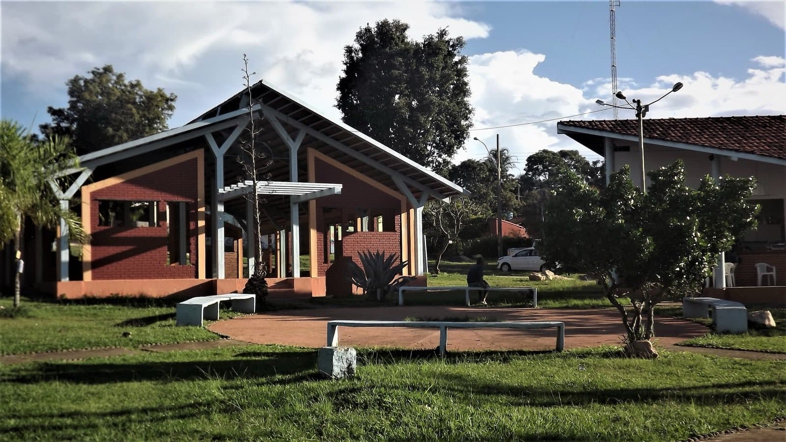
Where to arrive and start · Tourist Service Center (CAT) · Engenho II community. First stop to organize the visit, hire a Kalunga local guide and arrange transportation. This point is in the community, not at the waterfalls.
See the point, its directions and source
The green markers show where to start the visit. Check each point’s type: a property reference marks the establishment, not the parking spot or the exact trailhead.
Reception
Tourist Service Center (CAT) · Engenho II community
First stop to organize the visit, hire a Kalunga local guide and arrange transportation. This point is in the community, not at the waterfalls.
Location reference · checked Sep 15, 2026. Follow local signs when you arrive.
Routes and elevationVisitor recordings, with the distance and elevation of the whole route, are on Wikiloc. Search routes on Wikiloc ↗