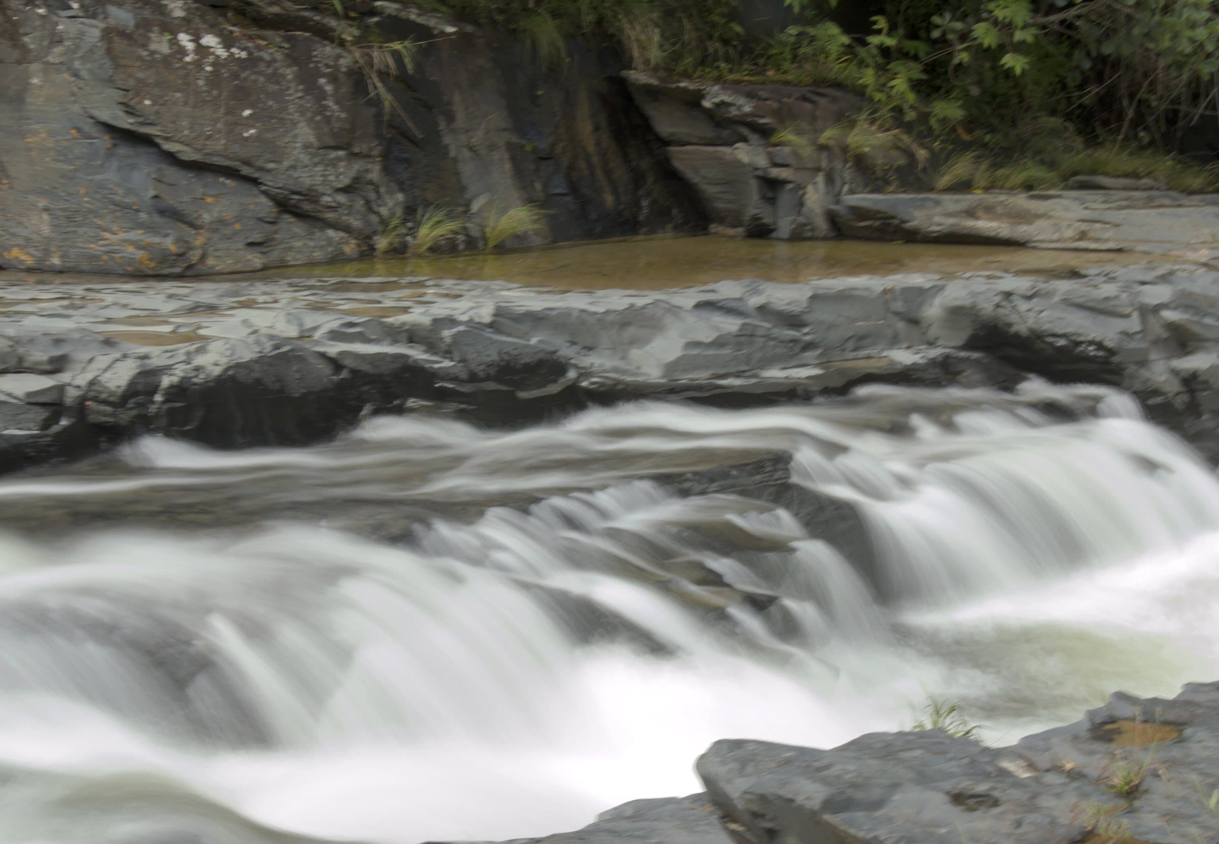
Between Vila de São Jorge and the Bar do Mirante, on the access road to Chapada dos Veadeiros National Park, west of the village and north of the GO-239.
Between Vila de São Jorge and the Bar do Mirante, on the access road to Chapada dos Veadeiros National Park, west of the village and north of the GO-239.
Contact suggestions are reviewed by the curators before they appear here.
Guide text · reviewed · PT · ES · EN
Part of this page has not been translated yet and is shown in Portuguese. Original place names help when contacting local operators.
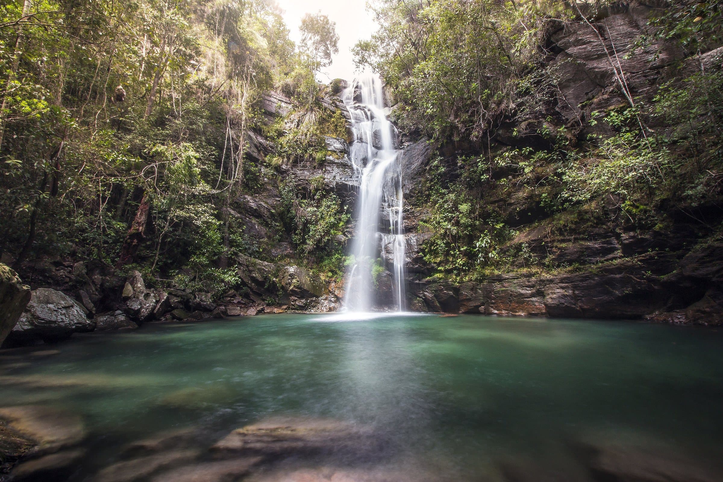
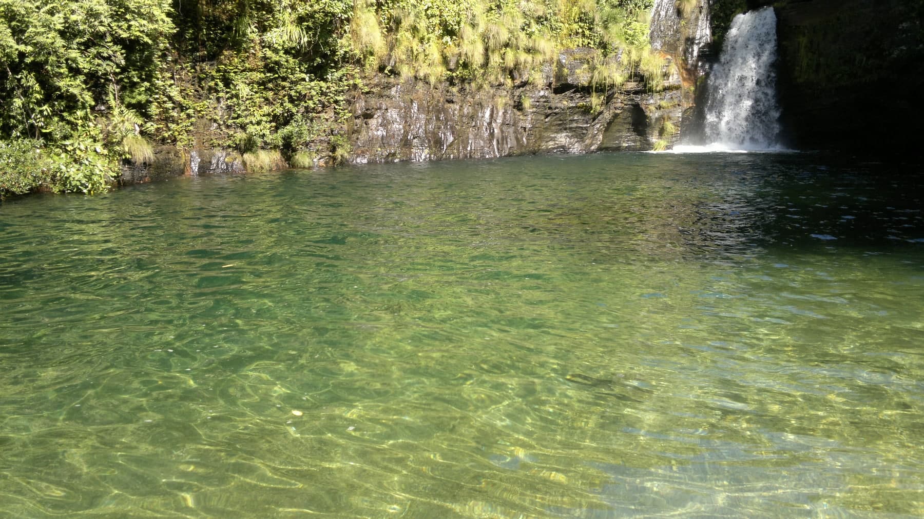
Altinho, Odete and their family welcome visitors at Águas Lindas, combining rural hospitality with approximately ten water spots. Pools, rock walls and canyons let you see greenish tones and rock shapes that resemble animals. Borda Infinita and the Canjica circuit appear among the references, along with camping and lunch at Recanto dos Morros.
The complex is in Paranã, Tocantins, in the Campo Alegre area, about 74 km from Cavalcante. It is not Águas Lindas de Goiás, the city in Goiás state.
The complex includes Poço das Pedras, Águas Lindas, Encanto, Esmeralda, Harmonia, Cânions, Cascata, Paredão, Borda Infinita and Canjica. Confirm which ones are part of the day’s circuit, which require a local guide and where meals and overnight stays are available.
It starts with what the guide researched and stays current thanks to visitors. Tap or hover over the votes to see how the community answered.
GuideCommunity
Arriving by car
according to the guide
Take care on the access roadThere is a rural or dirt stretch, uneven ground, a long drive or incomplete information about the vehicle needed. This does not mean 4×4 is required.
Hiking effort
according to the guide
IntenseA longer, steeper or more technical route, with rocks, water crossings and a possible overnight stay. Requires fitness and planning suited to the activity.
Price paid
according to the guide
R$ 51 to R$ 100
Historical range, not the current rate
Pets
according to the guide
Pets not allowed
Domestic animals are on the list of prohibitions in the official rules.
Four fixed bases: Vila Infinito and the centers of São Jorge, Alto Paraíso de Goiás and Cavalcante. Routes measured on Google Maps where available; where the route passes through a measured base, the leg to it is added; the rest are OSRM / OpenStreetMap estimates. Where no distance is shown, the link opens the route on Google Maps. Walking trails are not included.
Distance sources
Routes checked on Google Maps; the distance varies with the route chosen. Checked on Sep 15, 2026.
Bases whose route passes through another measured base: the OSRM / OpenStreetMap leg to it plus the Google Maps route. Checked on Sep 15, 2026.
The road, as visitors found it
In the guide:Long rural access through the Prata area. On the combined Águas Lindas/Canjica outing, it is about 11 km more of dirt road from the base in Prata. Arrange the entrance gate, the final stretch and a suitable car with your local guide.
Contact suggestions are reviewed by the curators before they appear here.
Tips from visitors
Photos from visitors
The place, the terrain and the trails
P
Where to arrive and start · Complexo Canjica headquarters.Headquarters listed with parking. Confirm the Canjica and Águas Lindas circuit and the internal transfers with the operator before continuing.
See the point, its directions and source
The green markers show where to start the visit. Check each point’s type: a property reference marks the establishment, not the parking spot or the exact trailhead.
Reception
Complexo Canjica headquarters
Headquarters listed with parking. Confirm the Canjica and Águas Lindas circuit and the internal transfers with the operator before continuing.
Location reference · checked Sep 15, 2026. Follow local signs when you arrive.
Preparing the Chapada map…
Community routes · Complexo Águas Lindas e Cachoeira Canjicaby SauloACT · Loop · ≈ 8.79 km · climb ≈ 267 m · Moderate on WikilocView routes and elevation▾
Community routes
Visitor recordings on Wikiloc help you get to know the route and its stops. Measurements are approximate and belong to the recorded track; elevation gain adds up the climbs or descents. Difficulty is the author’s own rating and may differ from the guide’s classification. Check current conditions with the attraction’s operator.
To overlay a route on the map above, download its GPX file from Wikiloc and open it in “Overlay a GPX trail”. Wikiloc may require you to log in to download the file.
Partial curation; sorting only covers the routes listed here.