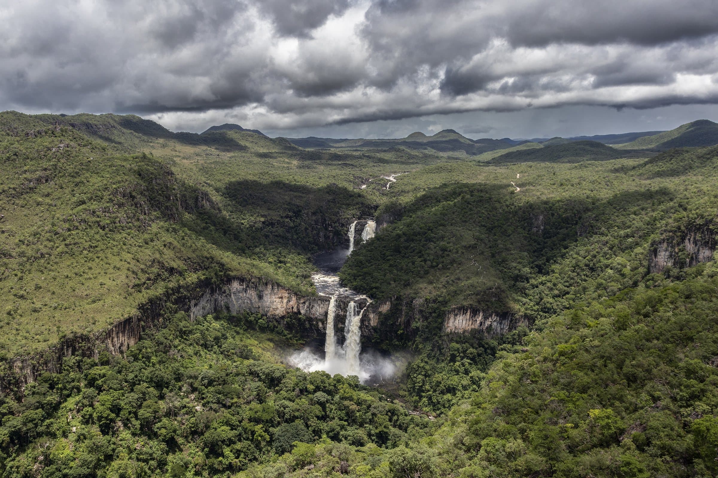

LandscapeNear Vila de São Jorge
Vale das Pedras
- Arriving by car
- The guide does not say
- no information yet
- Price paid
- The guide does not say
- no information yet
- Pets
- Pets allowed with conditions
- according to the guide
- By car
- ≈ 5.8 km from São Jorge
No verified photo yet
Before you head out
Status today
Check today’s opening with the operator before you head out.
Weather at this place
Loading forecast…
Contact this place
Contact suggestions are reviewed by the curators before they appear here.
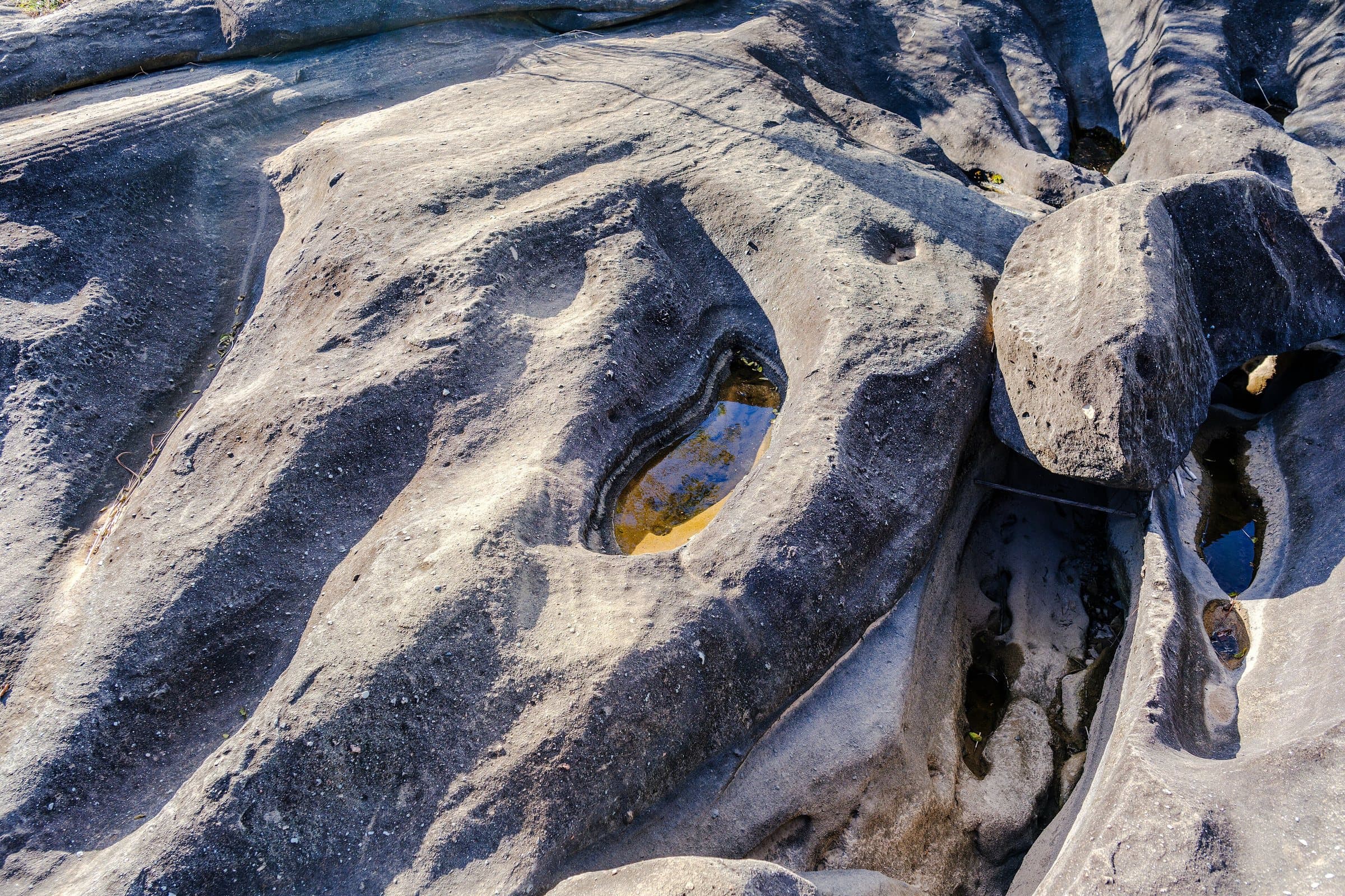
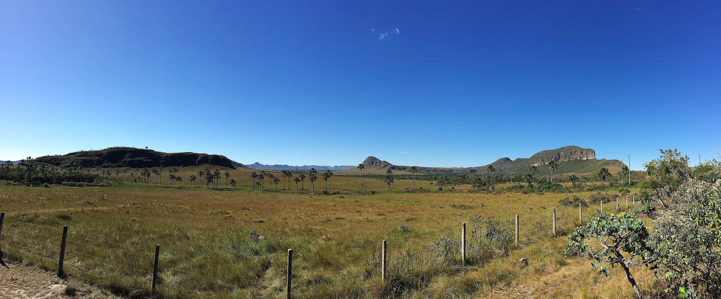
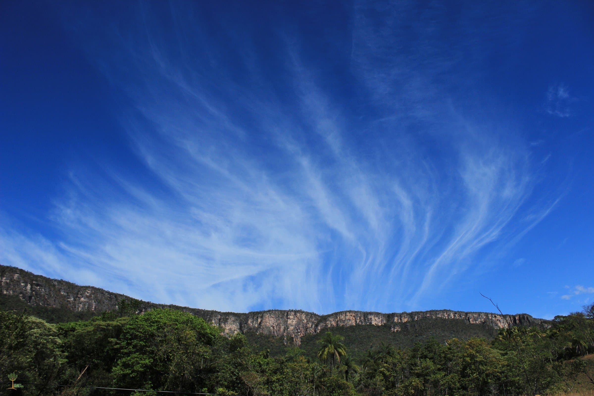
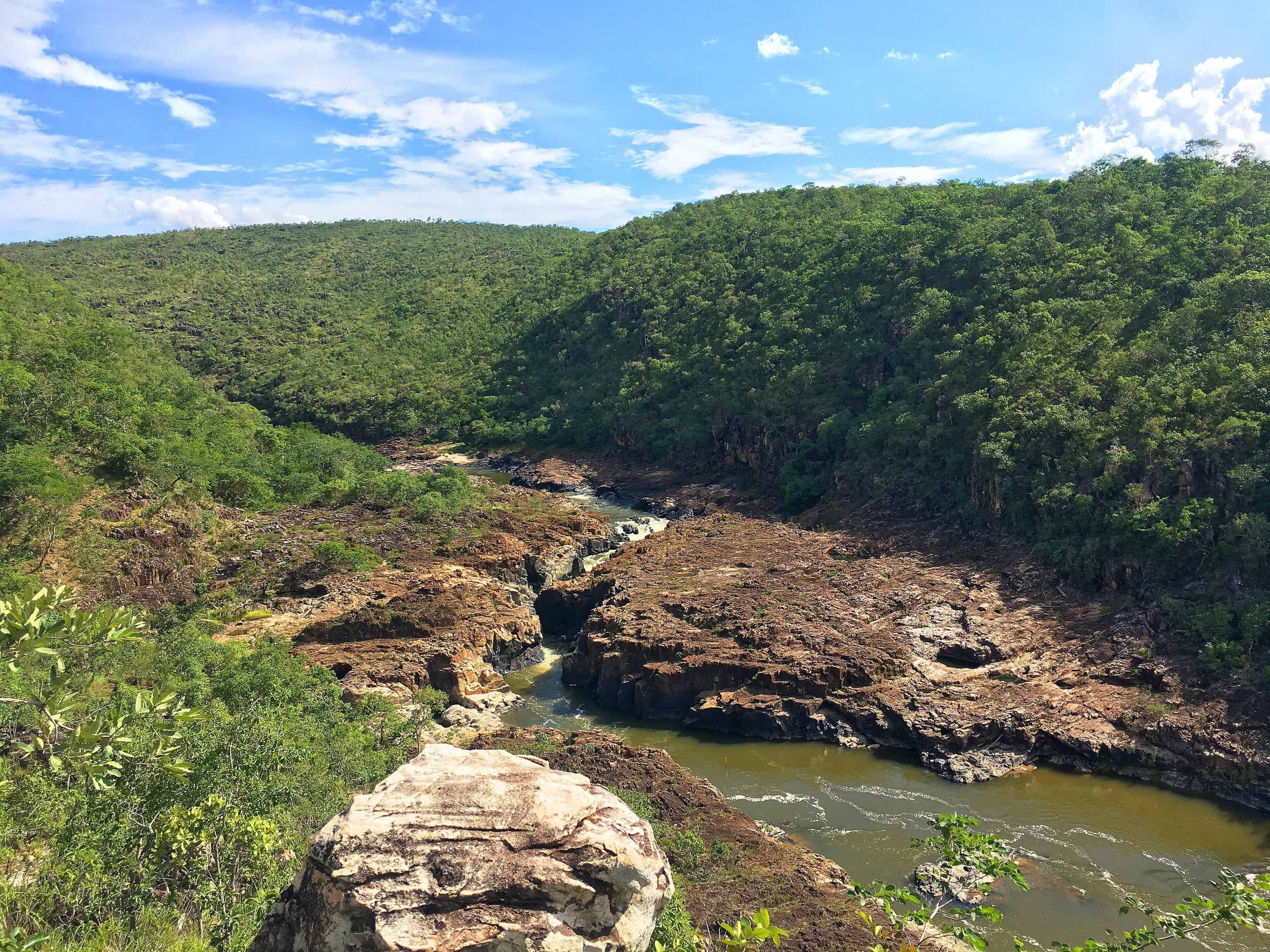
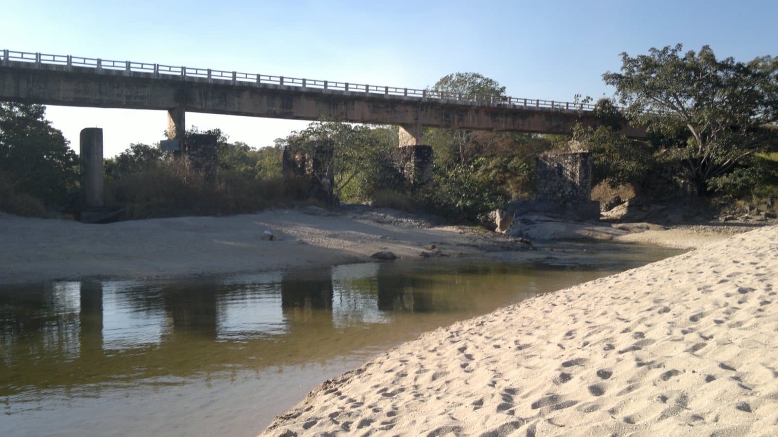
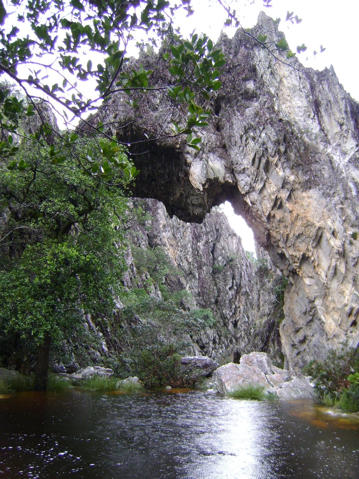
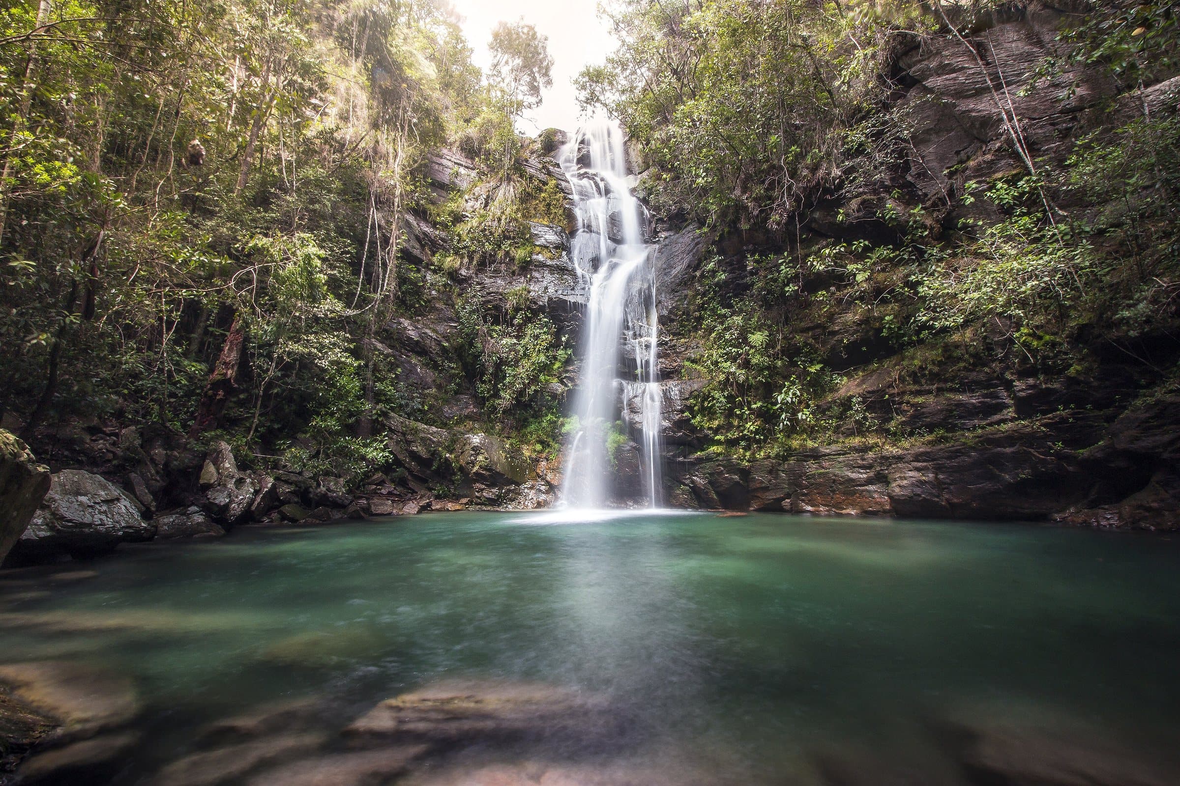
Vale das Pedras is in the São Jorge area, along the Rio São Miguel. Pools among rocks and riverside vegetation characterize the landscape described in the Goiás tourism inventory.
Confirm authorized access and swimming spots with the local operators before setting out. River conditions and the availability of food or support cannot be inferred from old photos.
Before you go
It starts with what the guide researched and stays current thanks to visitors. Tap or hover over the votes to see how the community answered.
GuideCommunity
Arriving by car
no information yetThe guide does not sayHiking effort
no information yetThe guide does not sayPrice paid
no information yetThe guide does not sayPets
according to the guidePets allowed with conditionsAllowed on day-use visits, accompanied by their owner; not accepted for overnight stays. Official rule published on Sep 8, 2026.
Read policy ↗Checked on Sep 15, 2026
Kids
no information yetThe guide does not sayLocal guide
no information yetThe guide does not say
When to go · according to visitors
| Month | Answers | Recommended by the guide | Rainy season |
|---|---|---|---|
| January | — | No | Yes |
| February | — | No | Yes |
| March | — | No | Yes |
| April | — | No | Yes |
| May | — | No | No |
| June | — | No | No |
| July | — | No | No |
| August | — | No | No |
| September | — | No | No |
| October | — | No | No |
| November | — | No | Yes |
| December | — | No | Yes |
- Rainy season (November to April): more rain and a higher risk of flash floods.
Getting there
Approximate driving distances · Valle das Pedras, São Jorge, Goiás
- Vila Infinitoby way of São Jorge≈ 7.9 kmRoute
- São Jorgemeasured on Google Maps≈ 5.8 kmRoute
- Alto Paraíso de Goiásby way of São Jorge≈ 43.6 kmRoute
- Cavalcanteby way of São Jorge≈ 130.7 kmRoute
Four fixed bases: Vila Infinito and the centers of São Jorge, Alto Paraíso de Goiás and Cavalcante. Routes measured on Google Maps where available; where the route passes through a measured base, the leg to it is added; the rest are OSRM / OpenStreetMap estimates. Where no distance is shown, the link opens the route on Google Maps. Walking trails are not included.
Distance sources
Routes checked on Google Maps; the distance varies with the route chosen. Checked on Sep 15, 2026.
Bases whose route passes through another measured base: the OSRM / OpenStreetMap leg to it plus the Google Maps route. Checked on Sep 15, 2026.
The road, as visitors found it
Contact this place
Contact suggestions are reviewed by the curators before they appear here.
Tips from visitors
Photos from visitors
The place, the terrain and the trails
Where to arrive and start · Valle das Pedras. The property's reference in the São Jorge area. Confirm visiting availability, parking and authorized access to the river with the reception.
See the point, its directions and source
The green markers show where to start the visit. Check each point’s type: a property reference marks the establishment, not the parking spot or the exact trailhead.
Property reference
Valle das Pedras
The property's reference in the São Jorge area. Confirm visiting availability, parking and authorized access to the river with the reception.
Location reference · checked Sep 15, 2026. Follow local signs when you arrive.