

Passaporte Veadeiros

AdventureNear Vila de São Jorge

Saltos, Carrossel e Corredeiras

Arriving by car
Easy to the entrance
according to the guide
Price paid
R$ 31 to R$ 50, historical range
according to the guide
Pets
Pets not allowed
according to the guide
By car
≈ 1.2 km from São Jorge
≈ 3 min

Saltos, Carrossel e Corredeiras — Adventure
Photo 1 of 5

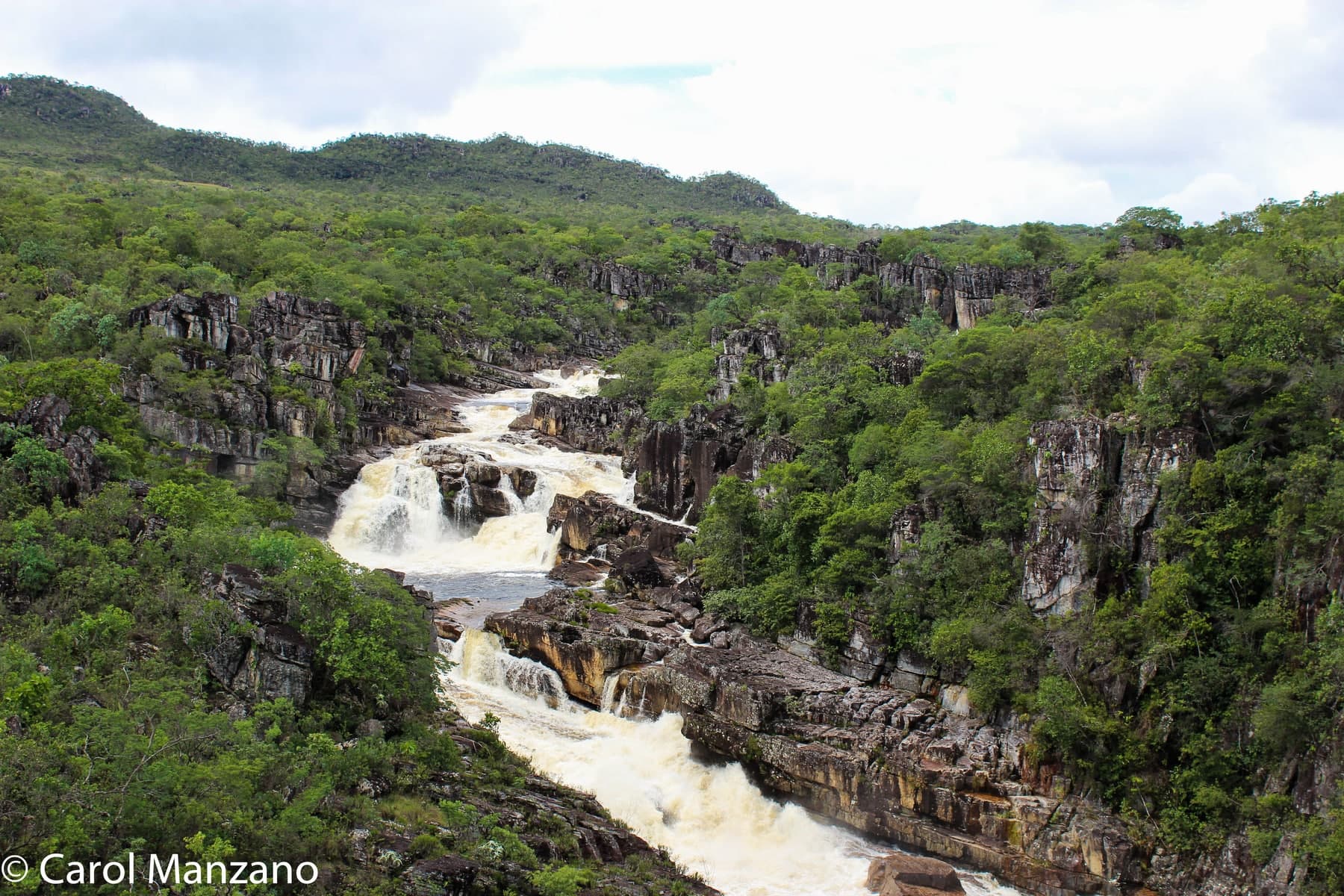
Image creditCarol ManzanoCC BY-SA 4.0Wikimedia Commons

Before you head out

Status today

Check today’s opening with the operator before you head out.

Weather at this place

Loading forecast…

Precautions on site

Do not rely on the calendar alone to decide whether to go into the water; swim only where the park allows it. The boardwalk of about 230 meters does not make the whole circuit accessible.

For your safety: hire a guide.

Find local guides →

When to go

Open year-round

In the rainy season, parts of the circuit may be limited to viewing only. In the dry season, more stretches may be opened, depending on the park's assessment.

Plan your visit: The internal shuttle's operation that day, the last trip and the time needed to get back to the entrance; which stretches and swimming areas are open; the group's accessibility needs, with the park administration.

Guide text · reviewed · PT · ES · EN

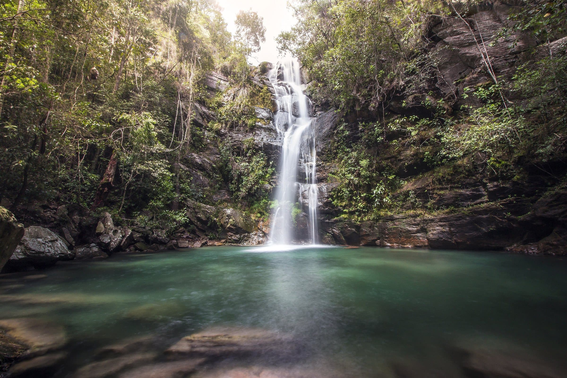
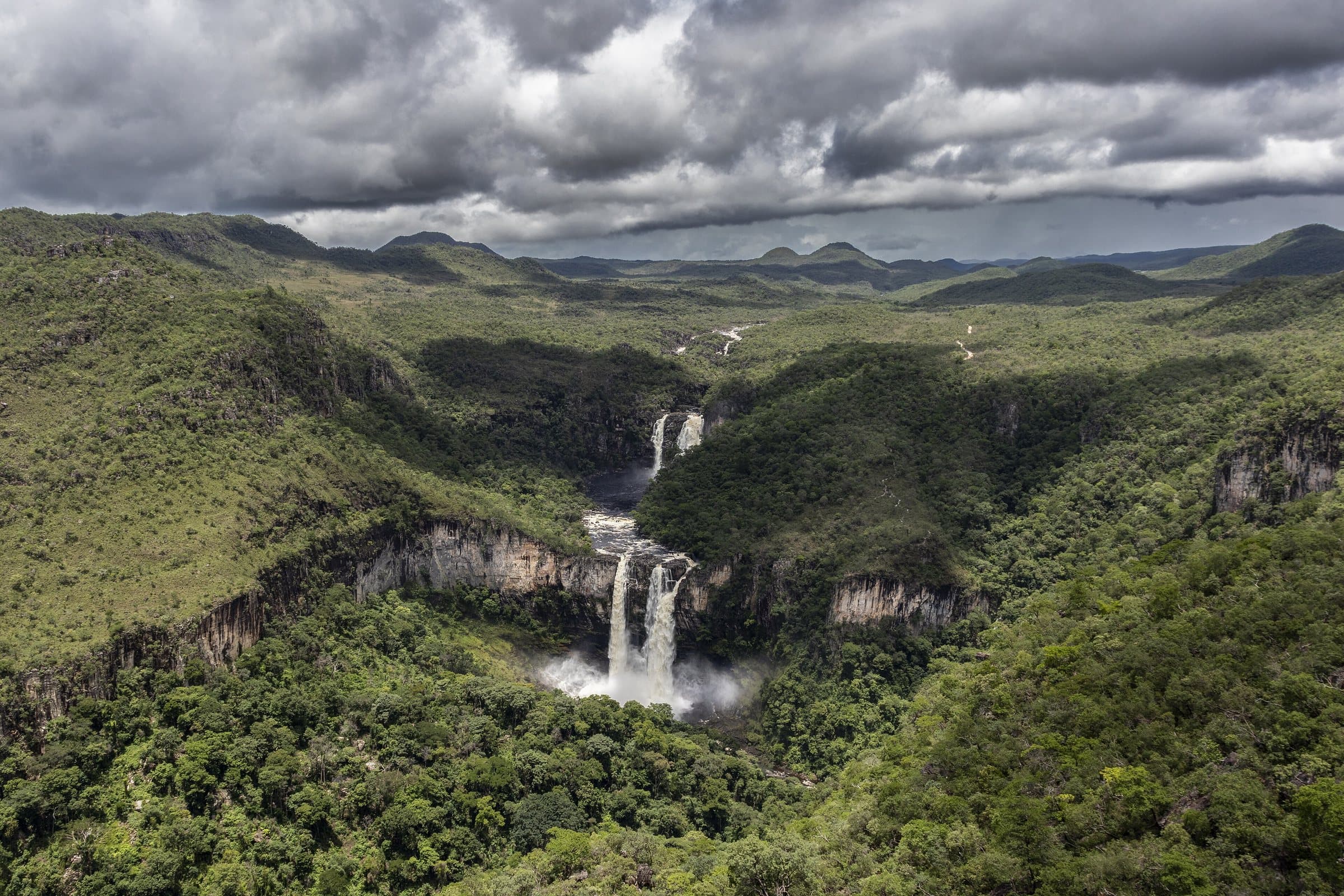
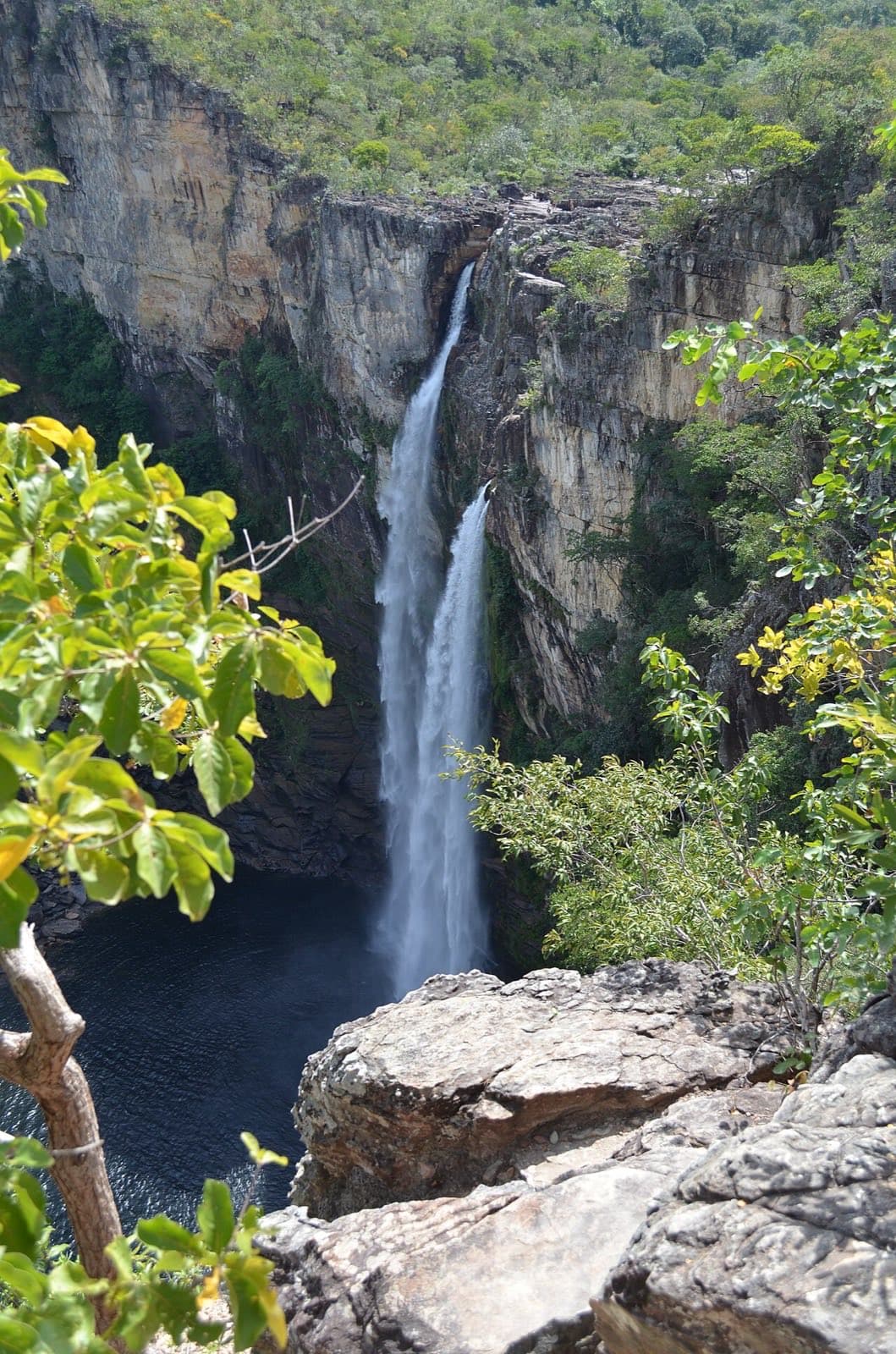
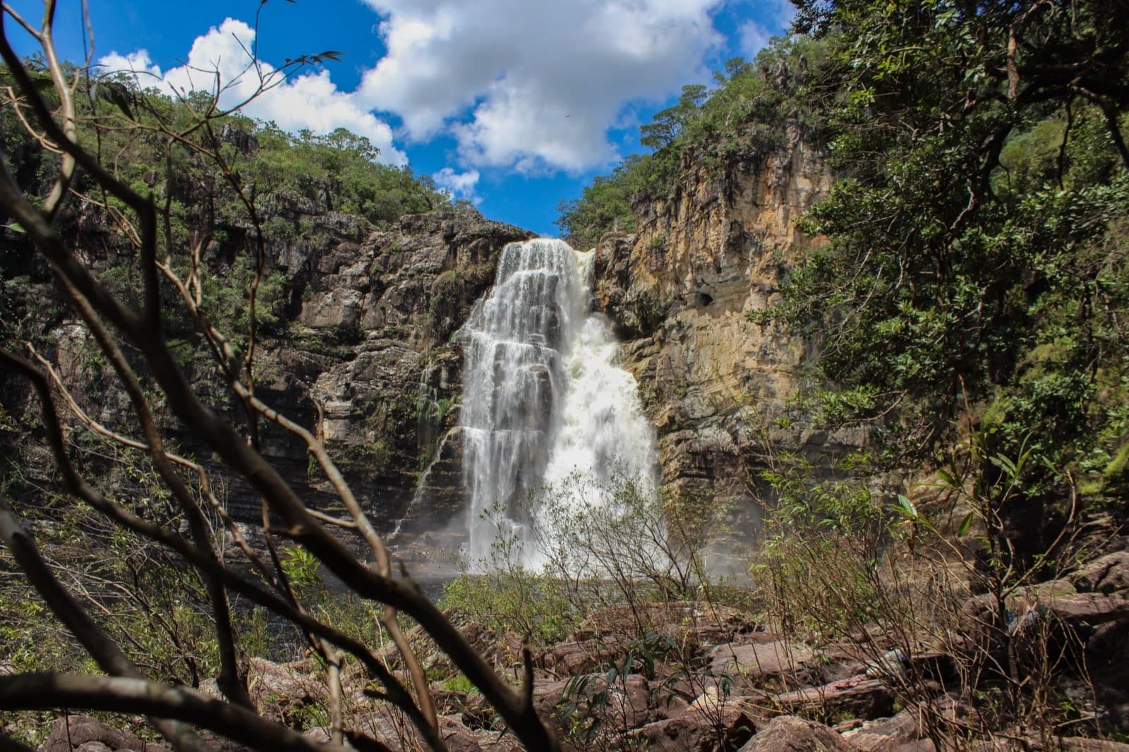
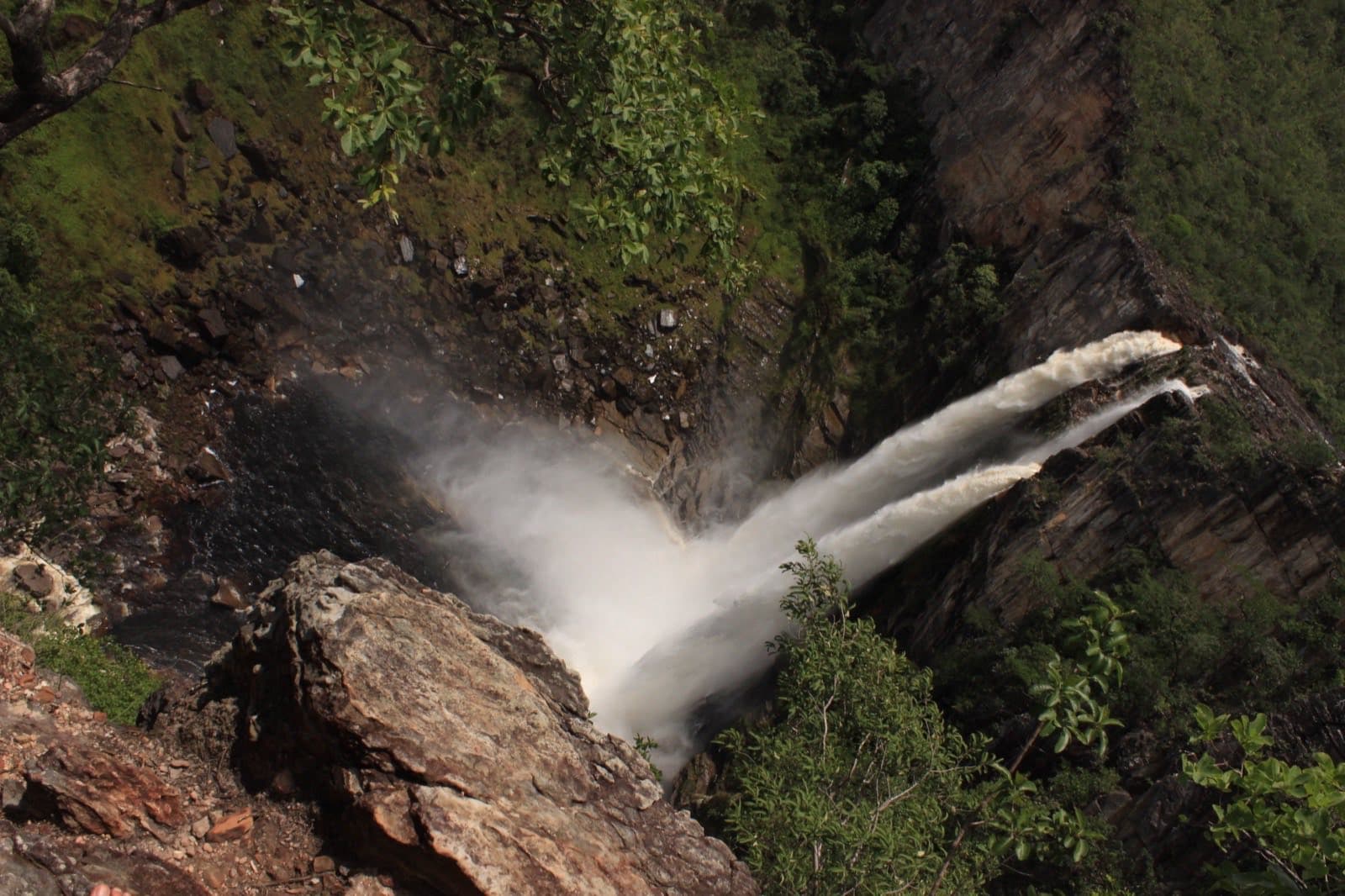
The full circuit described is approximately eleven kilometers, with climbs, descents and sun-exposed stretches. Passing through areas of the old Garimpão adds the memory of crystal mining to the nature watching. The Salto de 120 metros is seen from viewpoints; the Salto de 80 metros, also called Garimpão, has a swimming area where allowed.

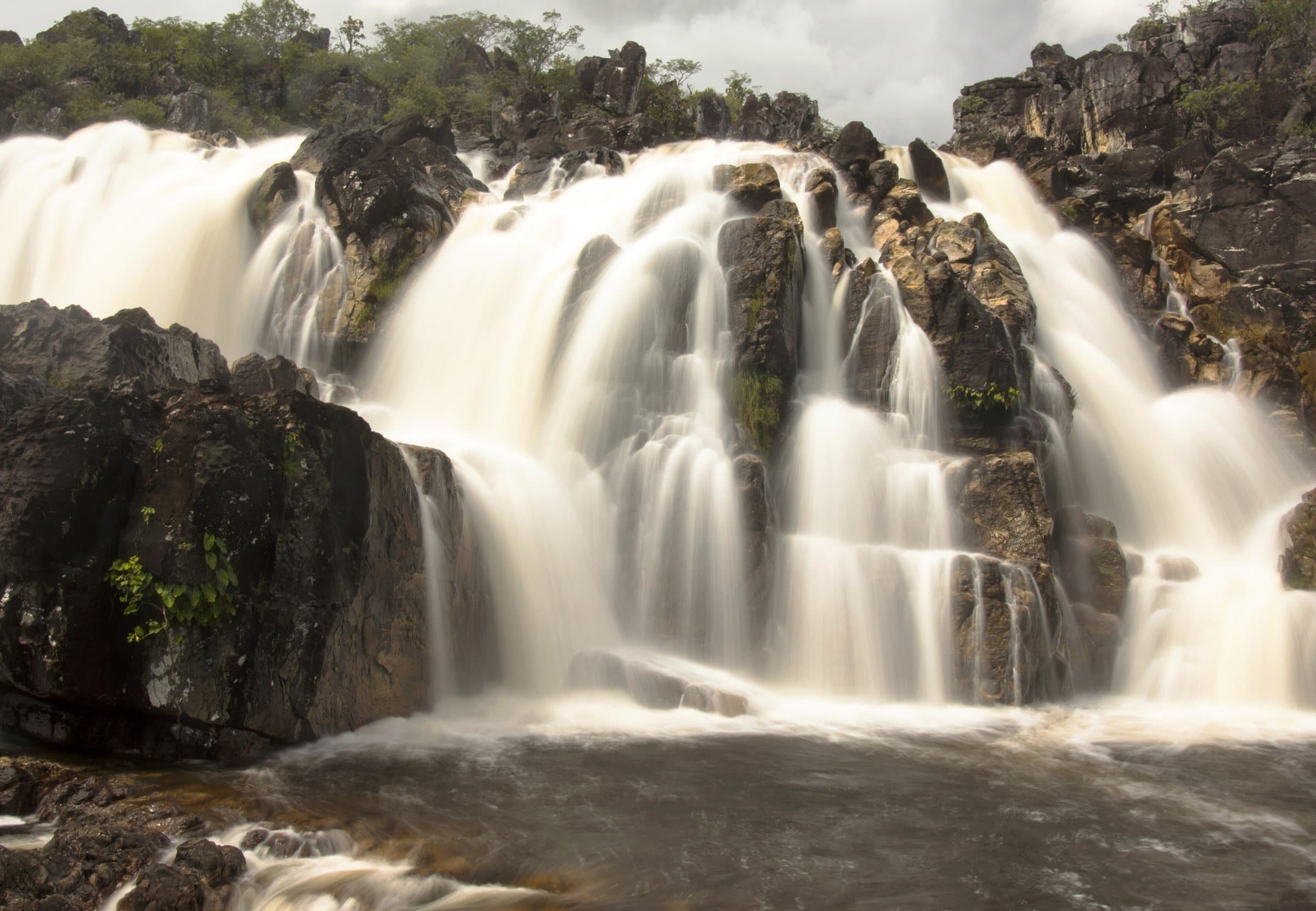
The Carrossel combines rock and water in a visually striking stretch. In the rainy season, roughly November to April in the pattern described, the experience may be limited to the viewpoint. In the dry season, more stretches may be opened, always as the park decides. Do not rely on the calendar alone to decide whether to go into the water.

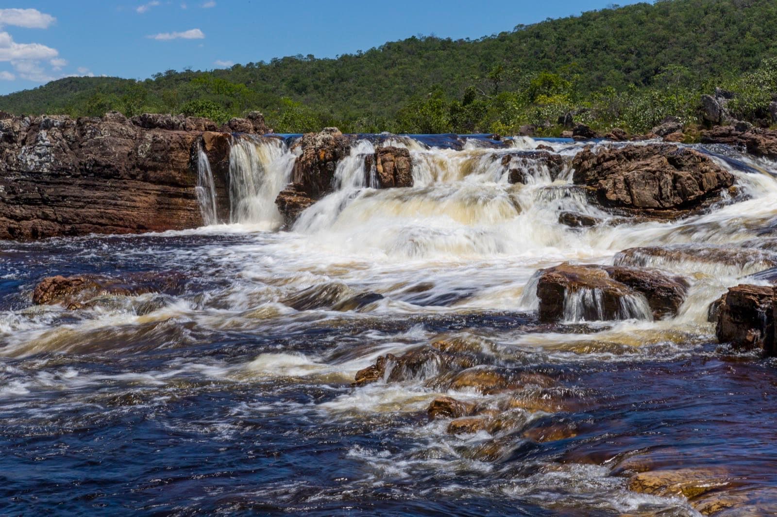
The Corredeiras offer another sequence of pools and river currents. The return on foot is given as about 3.1 km. The internal shuttle lets you cut out part of the effort, and there is a boardwalk of approximately 230 meters from its drop-off point. This structure does not make the whole circuit accessible; discuss your group's needs with the park administration.

Check the day's operation, the last trip and the time needed to get back to the entrance.

Explore on the map →

Before you go

It starts with what the guide researched and stays current thanks to visitors. Tap or hover over the votes to see how the community answered.

GuideCommunity

  • Arriving by car

    according to the guide

  • Hiking effort

    according to the guide

  • Price paid

    according to the guide
    R$ 31 to R$ 50

    Historical range, not the current rate

  • Pets

    according to the guide
    Pets not allowed

    The official visitor FAQ states that domestic animals are not allowed in the National Park.

    Read policy ↗Checked on Sep 15, 2026

  • Kids

    no information yet
    The guide does not say

  • Local guide

    no information yet
    The guide does not say

Tickets and costs

General admission R$ 49; half-price ticket R$ 24.50 and R$ 5 for eligible residents. Transport, camping and special services are charged separately.

Prices checked on Sep 14, 2026. Confirm when booking.

The historical range helps compare outings; it is not the current rate and does not necessarily include a guide or transportation.

The route

Full circuit of approximately 11 km. Internal transport and the Corredeiras boardwalk cover only part of the route.

When to go · according to visitors

Answers per month
MonthAnswersRecommended by the guideRainy season
January—NoYes
February—NoYes
March—NoYes
April—NoYes
May—NoNo
June—NoNo
July—NoNo
August—NoNo
September—NoNo
October—NoNo
November—NoYes
December—NoYes
  • Rainy season (November to April): more rain and a higher risk of flash floods.

Getting there

Approximate driving distances · Visitor Center · São Jorge

  • Vila InfinitoOpenStreetMap estimate≈ 1.8 km≈ 5 minRoute
  • São JorgeOpenStreetMap estimate≈ 1.2 km≈ 3 minRoute
  • Alto Paraíso de GoiásOpenStreetMap estimate≈ 39 km≈ 39 minRoute
  • CavalcanteOpenStreetMap estimate≈ 126.1 km≈ 2 h 05Route

Estimated times without stops; dirt stretches usually take longer.

Four fixed bases: Vila Infinito and the centers of São Jorge, Alto Paraíso de Goiás and Cavalcante. Routes measured on Google Maps where available; where the route passes through a measured base, the leg to it is added; the rest are OSRM / OpenStreetMap estimates. Where no distance is shown, the link opens the route on Google Maps. Walking trails are not included.

Distance sources

Road estimates: OSRM / OpenStreetMap. Maps may suggest a different route. Checked on Oct 5, 2026.

Access source ↗

The road, as visitors found it

In the guide: Reach São Jorge via GO-239 and leave your car in the park's outside parking area. Confirm the local stretch to the entrance. Internal transport to the Corredeiras is a separate service.

Contact this place

Includes the channels of Parque Nacional da Chapada dos Veadeiros, which runs this circuit.

Other ways to find the place

Contact suggestions are reviewed by the curators before they appear here.

Tips from visitors

Photos from visitors

The place, the terrain and the trails

Where to arrive and start · Visitor Center · São Jorge. Entrance to the São Jorge sector. Show your reservation and confirm the open route at the reception. For traverses, also arrange a pickup at the exit point.

See all 2 points, directions and sources

The green markers show where to start the visit. Check each point’s type: a property reference marks the establishment, not the parking spot or the exact trailhead.

  • Reception

    Visitor Center · São Jorge

    Entrance to the São Jorge sector. Show your reservation and confirm the open route at the reception. For traverses, also arrange a pickup at the exit point.

    Location reference · checked Sep 14, 2026. Follow local signs when you arrive.

  • Parking

    Parking area next to the Visitor Center

    Mapped area next to the entrance. From here, continue on foot to the Park reception.

    Location reference · checked Sep 14, 2026. Follow local signs when you arrive.

Preparing the Chapada map…
Community routes · Trilha dos Saltosby ROMERO ADVENTURE · Loop · ≈ 11.54 km · climb ≈ 345 m · Easy on WikilocView routes and elevation

Community routes

Visitor recordings on Wikiloc help you get to know the route and its stops. Measurements are approximate and belong to the recorded track; elevation gain adds up the climbs or descents. Difficulty is the author’s own rating and may differ from the guide’s classification. Check current conditions with the attraction’s operator.

To overlay a route on the map above, download its GPX file from Wikiloc and open it in “Overlay a GPX trail”. Wikiloc may require you to log in to download the file.

Partial curation; sorting only covers the routes listed here.

Pair it with these places

See all · Adventure