

AdventureMunicipality of Colinas do Sul
Passeio de lancha no Lago Serra da Mesa
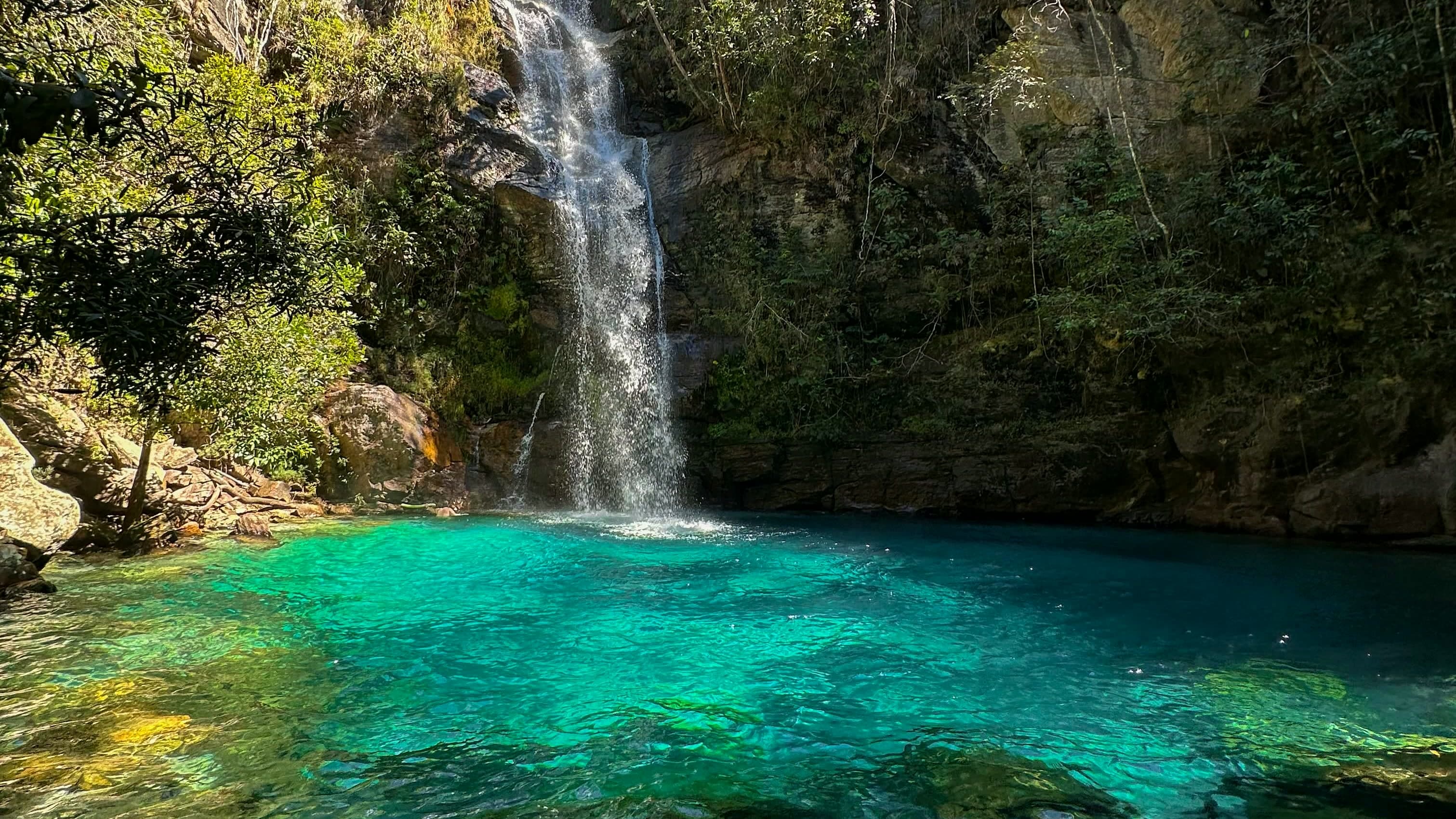
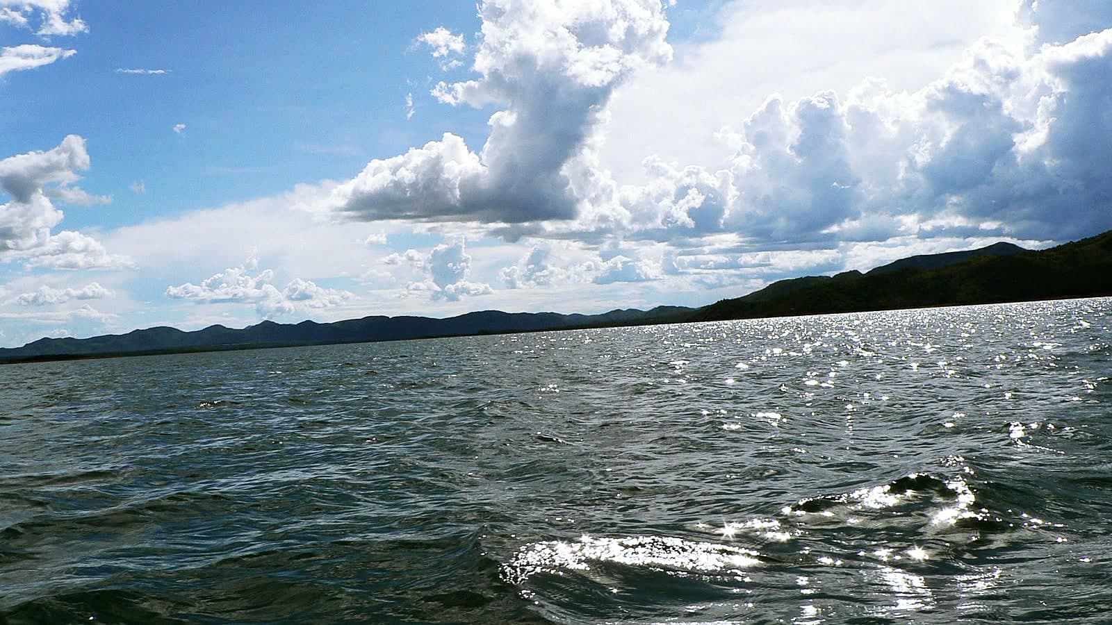
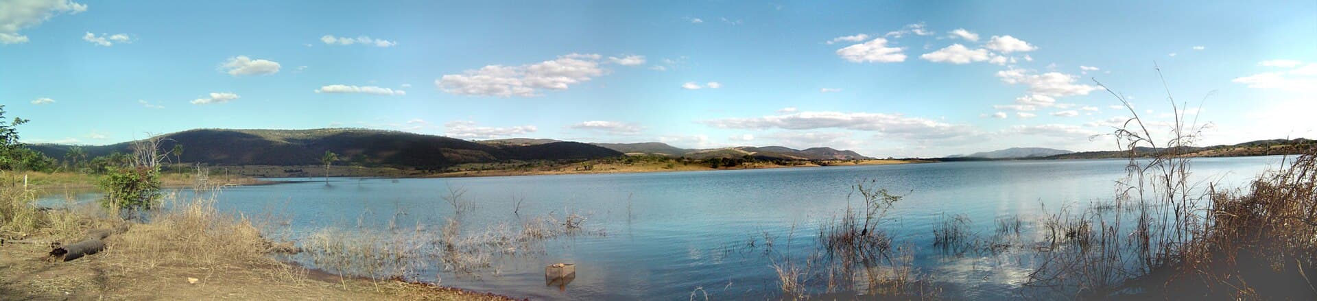
A trip of about 3 hours on the Lago Serra da Mesa from the Porto Comunitário in Colinas do Sul, with swimming stops and waterfalls reachable only by boat.

© Felipe Venâncio · CC BY 2.0 · Wikimedia Commons
- Arriving by car
- No information yet
- no data
- Price paid
- R$ 90–200 per person
- Aug 2026
- Need a local guide?
- Required
- Oct 2026
- By car
- ≈ 40.9 km from São Jorge
- ≈ 43 min
Before you head out
Status today
Check today’s opening with the operator before you head out.
Weather at this place
Loading forecast…
Precautions on site
Wear a life jacket for the whole trip and only board with a licensed pilot.
For your safety: hire a local guide.
Find local guides →When to go
Year-round
Daily trips, in daylight and booked ahead.
Confirm before you go: the price, duration and what is included (life jacket, drinks), with the operator.
Contact this place
Other channels
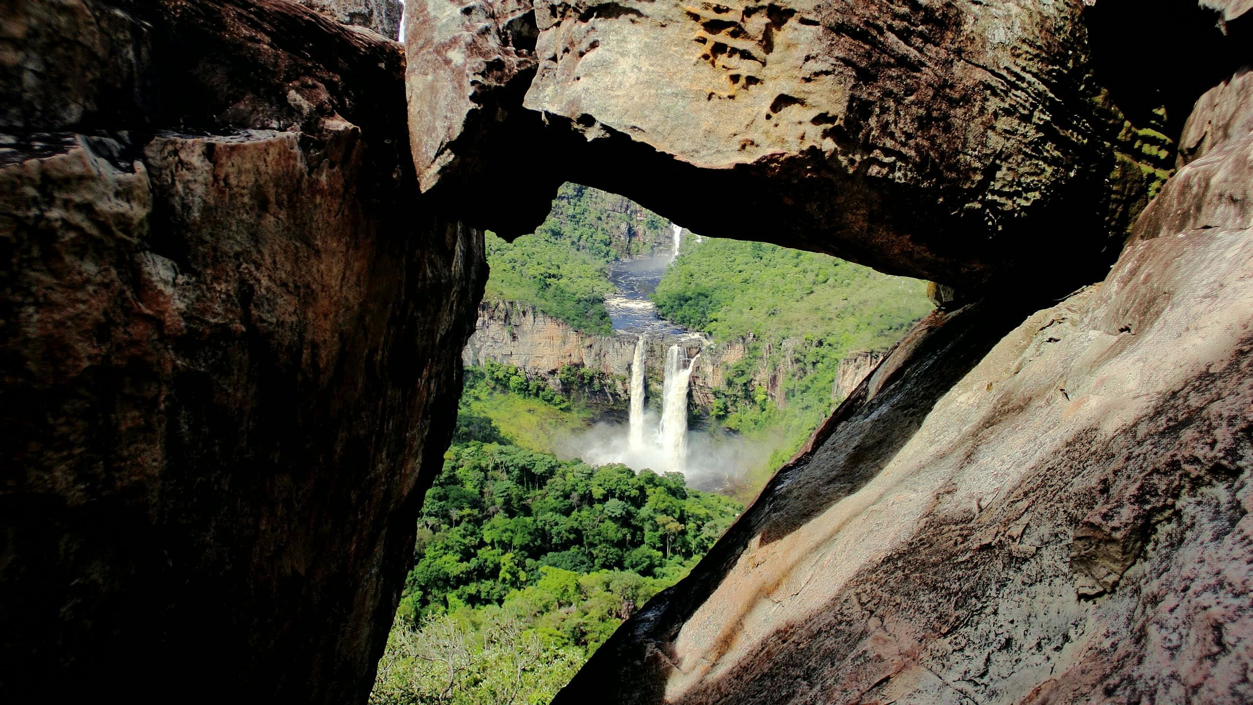
Boat, motorboat and Hawaiian canoe trips on the Lago Serra da Mesa leave from the Porto Comunitário in Colinas do Sul. The usual route takes about 3 hours, with stops at pools for swimming and at the Pedras Roladas and Curralinho waterfalls; Cachoeira dos Baianos and Cachoeirinha can only be reached by boat.
The town hall requires a licensed boat pilot and a suitable boat. Operators in Colinas do Sul, such as Nativos Turismo e Cultura and Cabana do Pescador, arrange the trip by message.
There are no restaurants at the waterfalls: bring water, a snack, sunscreen, a hat and insect repellent.
Before you go
Our team checked these values first; visitors keep them current. Tap the votes to see how visitors answered.
Our checkVisitors
Price paid
Our check, updated Aug 2026R$ 90–200 per personPets
no dataNo information yetWe have not found a confirmed public policy for this visit. Contact the operator before bringing your pet.
Kids
Our check, updated Oct 2026Good for kidsThe walks to the waterfalls cross rocks; children always in a life jacket and accompanied.
Read policy ↗Checked on Oct 25, 2026
Need a local guide?
Our check, updated Oct 2026Required
No information yet: road and best time
Tickets and costs
R$ 90 to R$ 200 per person, depending on the boat and route. Cabana do Pescador runs boat trips, not speedboat ones: from R$ 400 for a 2 to 3 hour trip, depending on the group size (Cabana do Pescador, on WhatsApp, Nov 18, 2026). By speedboat, Mesa Vibes charges R$ 450 per hour for up to 6 people; it has speedboats for 6 and for 8 (Mesa Vibes, on WhatsApp, Nov 18, 2026).
Prices checked on Aug 5, 2026. Confirm when booking.
How to visit
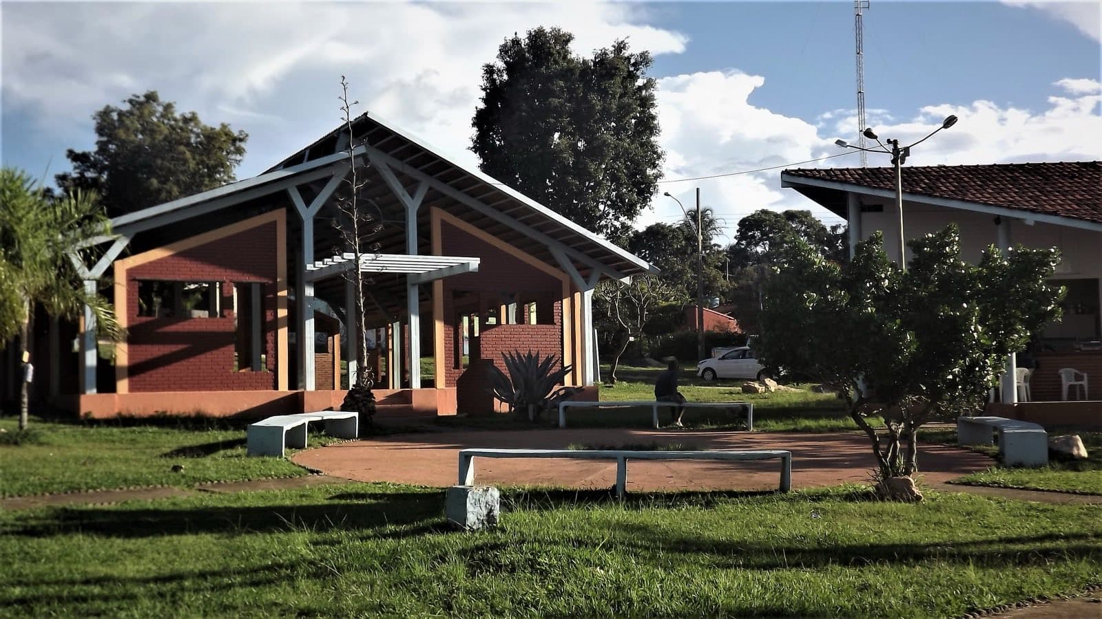
Trips leave from the Porto Comunitário in Colinas do Sul, about 7 km from town by dirt road. Arrange the trip with an operator beforehand.
The route
Short walks over rocks to the waterfalls.
Getting there
Approximate driving distances · Porto Comunitário de Colinas do Sul · map pin
- Vila InfinitoOpenStreetMap estimate≈ 42.8 km≈ 48 minRoute
- Pousada CamarásOpenStreetMap estimate≈ 77.7 km≈ 1 h 18Route
- São JorgeOpenStreetMap estimate≈ 40.9 km≈ 43 minRoute
- Alto Paraíso de GoiásOpenStreetMap estimate≈ 78.5 km≈ 1 h 18Route
- CavalcanteOpenStreetMap estimate≈ 165.6 km≈ 2 h 44Route
Estimate to the road nearest the map pin, which may not be the entrance. Confirm the access with the operator.
Estimated times without stops; dirt stretches usually take longer.
Approximate driving distances for Vila Infinito, Pousada Camarás and the centers of São Jorge, Alto Paraíso de Goiás and Cavalcante where a reliable arrival point is mapped. Some routes were checked in Google Maps; the others are OSRM / OpenStreetMap estimates. Where no distance is shown, the link opens the route in Google Maps. Walking trails are not included.
Road estimates: OSRM / OpenStreetMap. Maps may suggest a different route. Checked on Oct 20, 2026. Arrival point source ↗
Distance sources
Road estimates: OSRM / OpenStreetMap. Maps may suggest a different route. Checked on Oct 24, 2026.
Arrival point source ↗The road, as visitors found it
Contact this place
Other channels
Tips from visitors
Photos from visitors
The place and the terrain
Where to arrive and start. The entrance and parking do not have a confirmed point on this map yet. Arrange your arrival with the operator or local guide using the contacts on this page before planning your route.
Pair it with these places
See all · Colinas do Sul ParkD’Boa Ecoparque≈ 8.5 km in a straight line
- CulturePedra Escrita≈ 24.8 km in a straight line
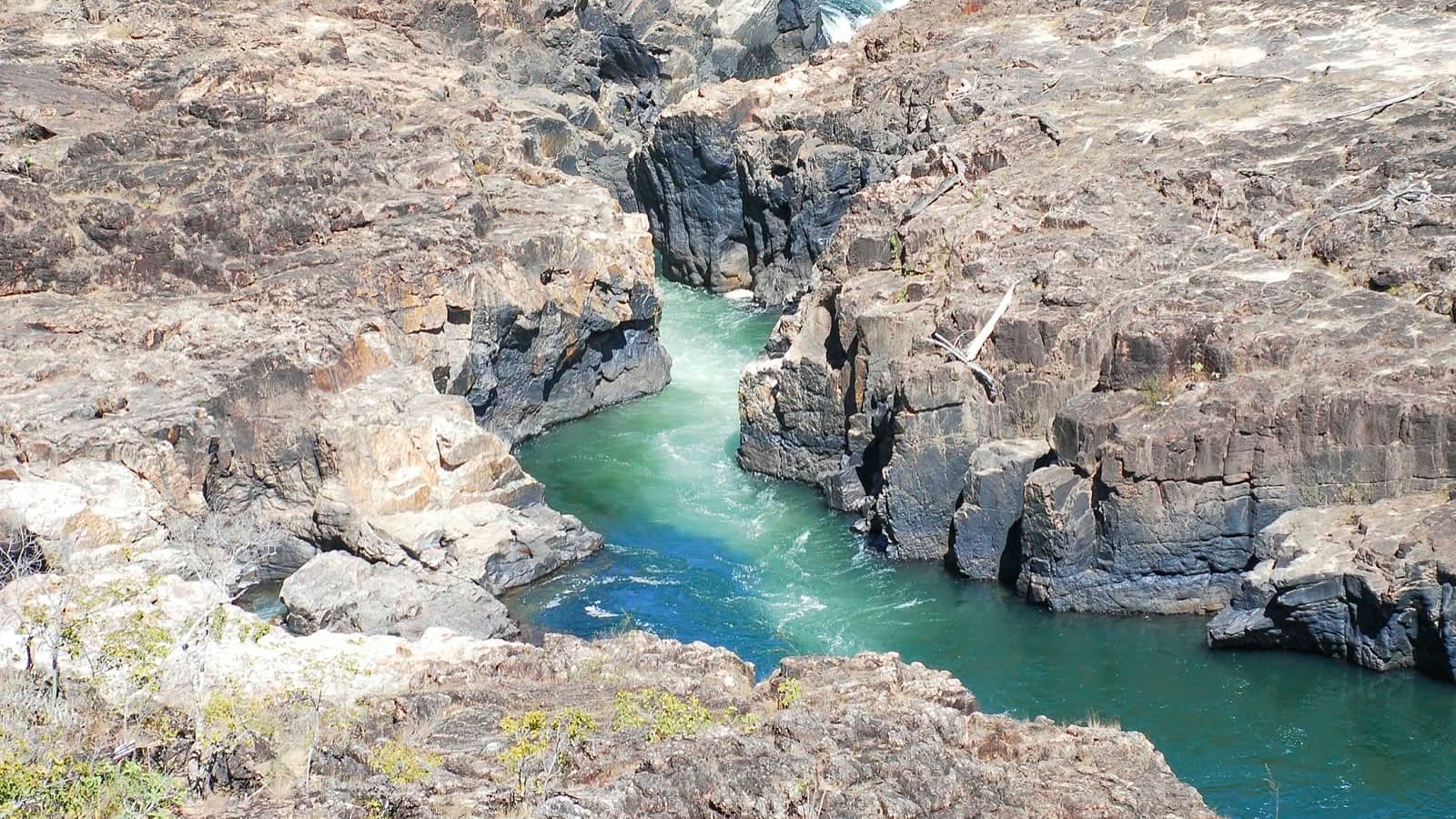 LandscapeEncontro das Águas≈ 26.2 km in a straight line
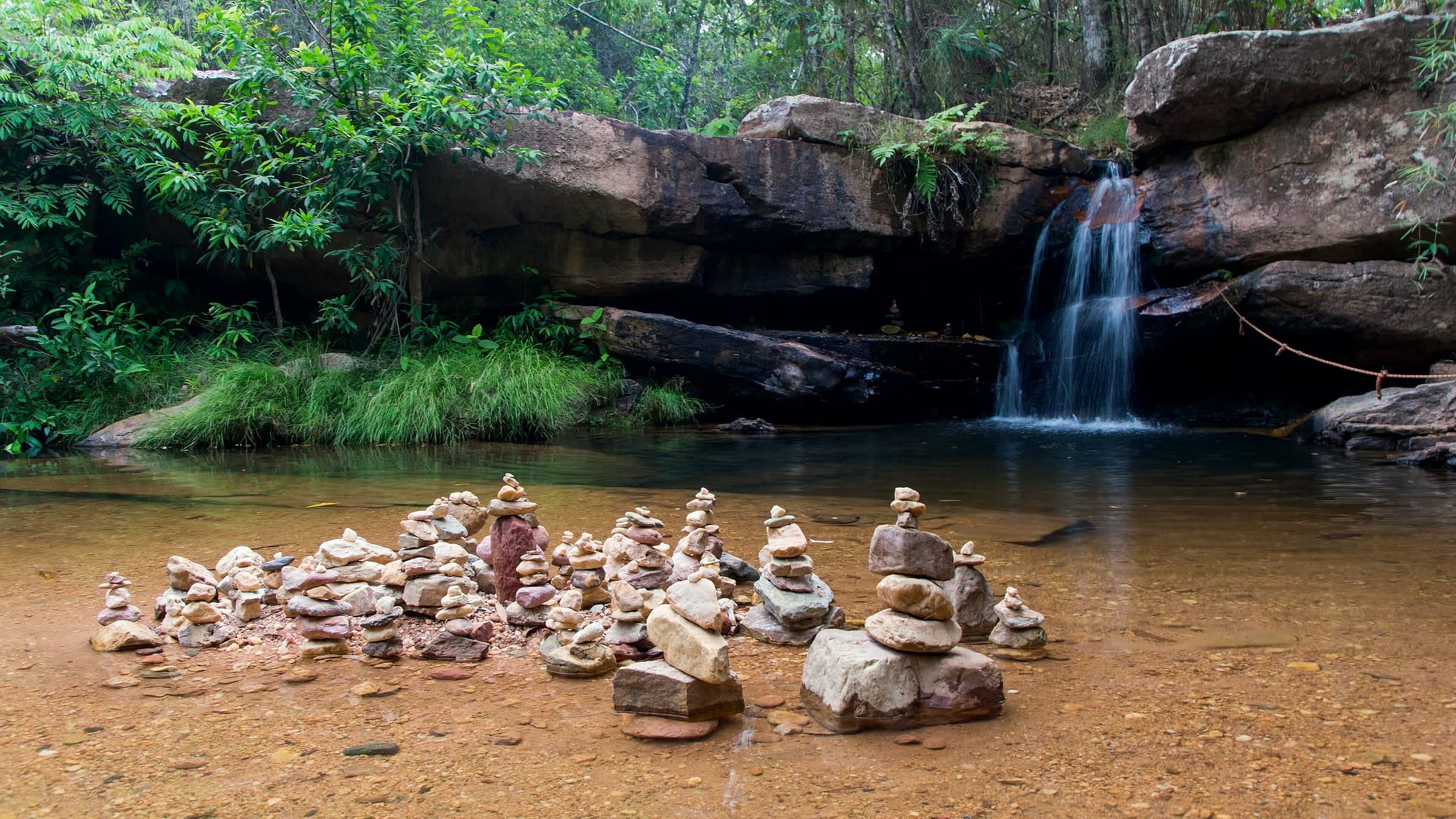 CanyonSantuário Ecológico Raizama≈ 31.6 km in a straight line
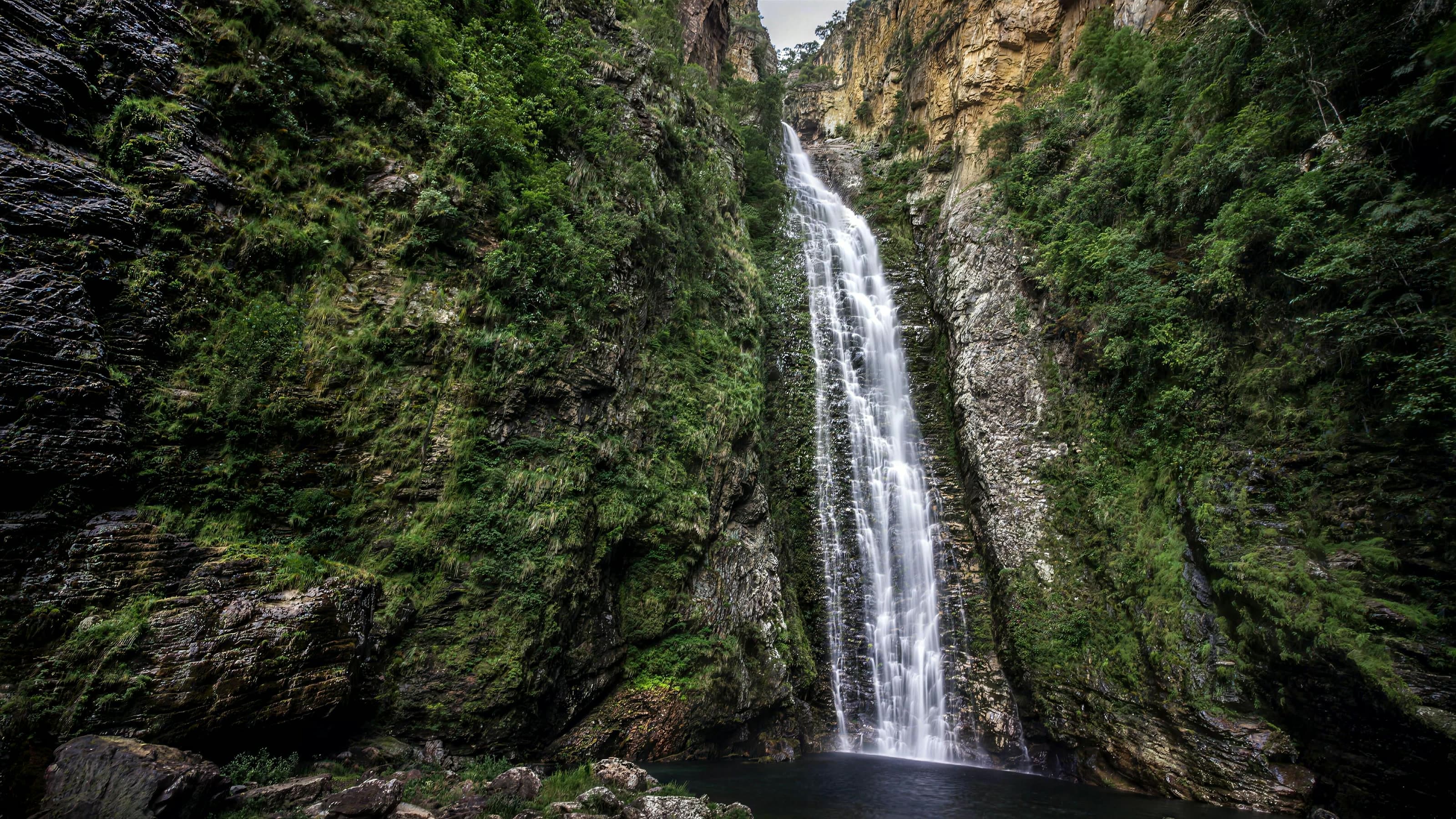 WaterfallCachoeira do Segredo≈ 32.7 km in a straight line
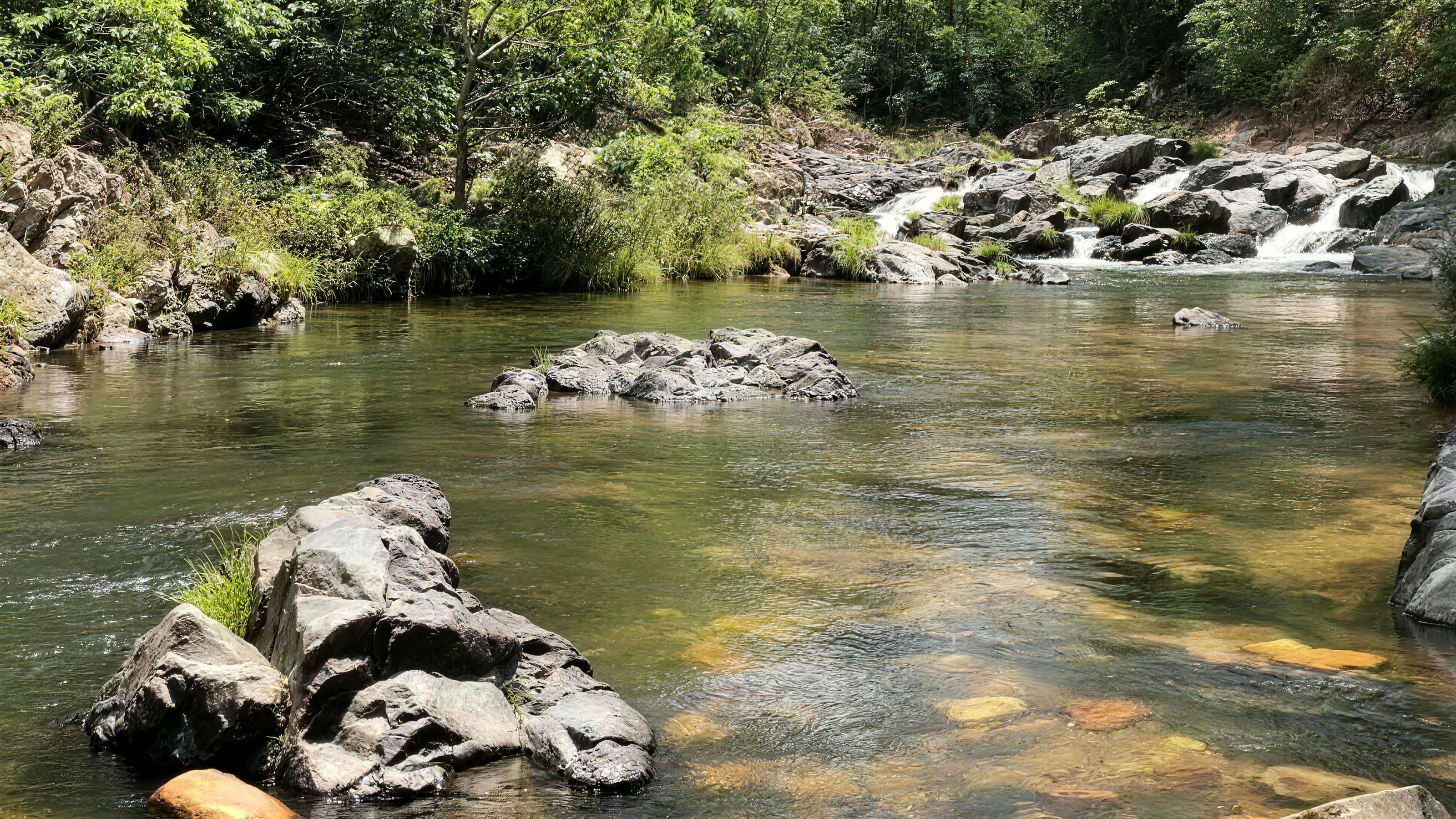 LandscapeValle das Pedras≈ 34.7 km in a straight line