

LandscapeMunicipality of Colinas do Sul
Praia das Pedras
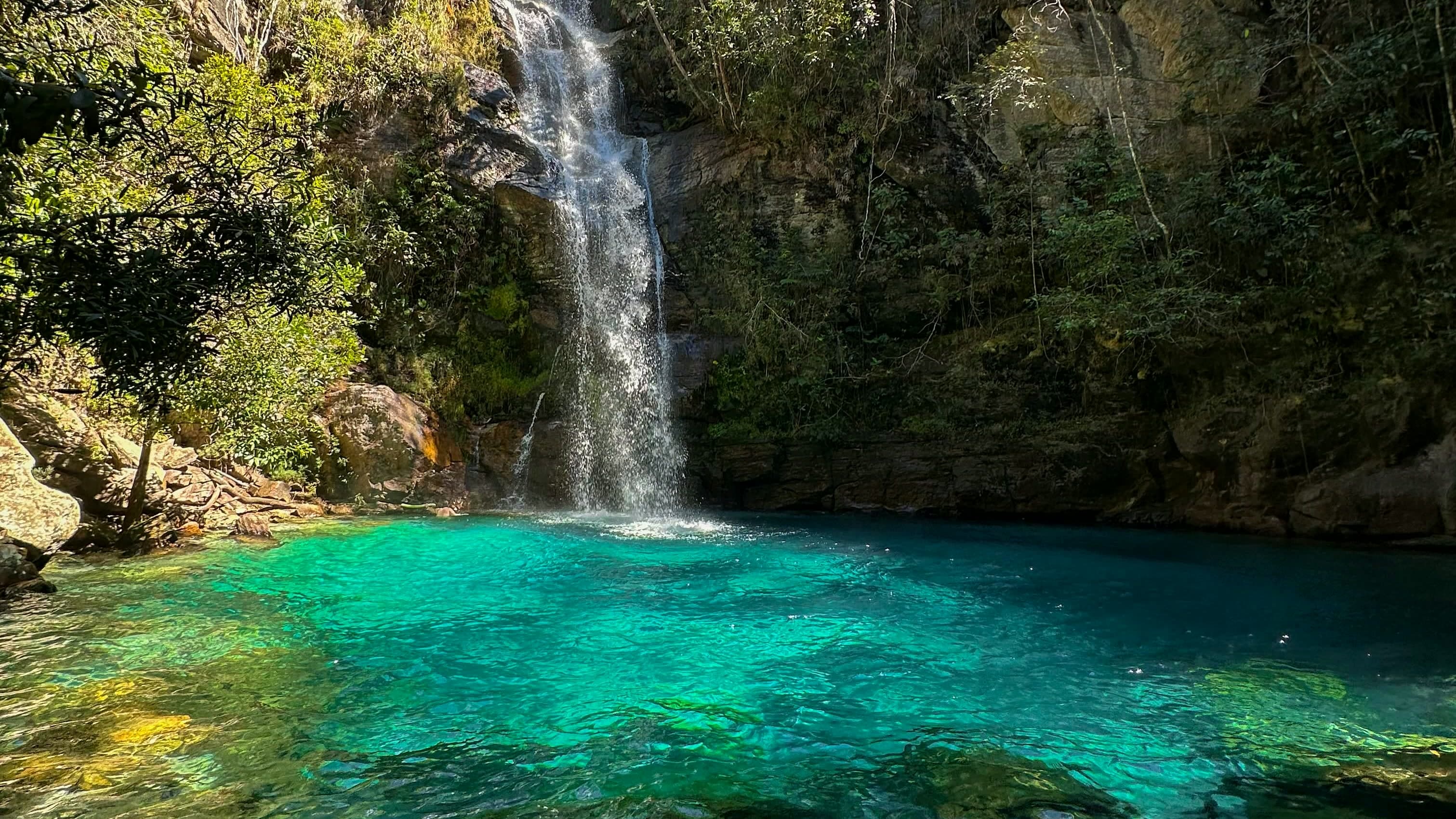
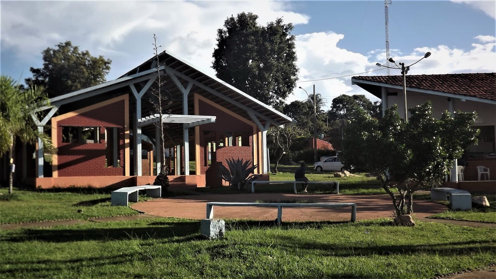
A river beach on the Rio Tocantinzinho, with wood-stove cooking, camping, chalets and kayak outings — an alternative to a routine of long trails.
Hours: Tue–Sun 9am–5pm · closed Mon · the place’s Instagram, Oct 2026
LandscapeMunicipality of Colinas do Sul
- Arriving by car
- Take care on the access road
- Sep 2026
- Price paid
- R$ 40 per person
- Aug 2026
- Pets
- No information yet
- no data
- By car
- ≈ 26.8 km from São Jorge
- ≈ 44 min
Before you head out
Status today
Check today’s opening with the operator before you head out.
Weather at this place
Loading forecast…
Precautions on site
The river level and water volume change where you can swim. On a kayak, follow the activity's safety conditions and wear a life jacket.
When to go
To be confirmed
Contact this place
Other ways to find the place
On the Rio Tocantinzinho, Praia das Pedras is described as a gathering place marked by the welcome of Marina, Brivaldo and their family. Wood-stove cooking, camping, chalets and kayak outings offer an alternative to a routine of long trails.
Before you go
Our team checked these values first; visitors keep them current. Tap the votes to see how visitors answered.
Our checkVisitors
Arriving by car
Our check, updated Sep 2026Take care on the access roadExpect a dirt or rural stretch, uneven ground or a long drive, or information about the vehicle needed is still missing. It does not mean you need a 4×4.Hiking effort
Our check, updated Sep 2026Very lightNo walking, or only a very short distance. Check the ground, steps, ramps and access to the restroom; a short distance does not guarantee accessibility.Price paid
Our check, updated Aug 2026R$ 40 per personPets
no dataNo information yetWe have not found a confirmed public policy for this visit. Contact the operator before bringing your pet.
Kids
Our check, updated Sep 2026Good for kids
No information yet: local guide and best time
Tickets and costs
R$ 40 per person; residents pay R$ 30 and seniors R$ 20. Children pay from age 6. Small pets allowed.
Prices checked on Aug 5, 2026. Confirm when booking.
Confirm before you go
Hours, lodging and water activities. Also ask which beach is accessible, whether meals need to be booked and whether the equipment is available.
Getting there
Approximate driving distances · Praia das Pedras
- Vila InfinitoOpenStreetMap estimate≈ 28.7 km≈ 49 minRoute
- Pousada Camarásestimate from published segments≈ 65 kmRoute
- São JorgeOpenStreetMap estimate≈ 26.8 km≈ 44 minRoute
- Alto Paraíso de GoiásOpenStreetMap estimate≈ 64.4 km≈ 1 h 20Route
- CavalcanteOpenStreetMap estimate≈ 151.5 km≈ 2 h 45Route
Estimated times without stops; dirt stretches usually take longer.
Approximate driving distances for Vila Infinito, Pousada Camarás and the centers of São Jorge, Alto Paraíso de Goiás and Cavalcante where a reliable arrival point is mapped. Some routes were checked in Google Maps; the others are OSRM / OpenStreetMap estimates. Where no distance is shown, the link opens the route in Google Maps. Walking trails are not included.
Estimate by road segments: drive to the base town or community plus the published access distance. Confirm the final arrival point with the operator. Checked on Oct 20, 2026. Distance sources ↗
Distance sources
Road estimates: OSRM / OpenStreetMap. Maps may suggest a different route. Checked on Oct 24, 2026.
Arrival point source ↗The road, as visitors found it
Our check: About 8 km of dirt road after GO-239. Confirm the side road, a suitable vehicle and the reception point with the property.
Contact this place
Other ways to find the place
Tips from visitors
Photos from visitors
No verified photo yet. If you have been here, the first photo can be yours.
The place, the terrain and the trails
Where to arrive and start · Praia das Pedras. Beach point on Google Maps, near Colinas do Sul. Check in town how the dirt road and water level are before going.
See the point, its directions and source
The green markers show where to start the visit. Check each point’s type: a property reference marks the establishment, not the parking spot or the exact trailhead.
Property reference
Praia das Pedras
Beach point on Google Maps, near Colinas do Sul. Check in town how the dirt road and water level are before going.
Location reference · checked Oct 23, 2026. Follow local signs when you arrive.
Routes and elevationVisitor recordings, with the distance and elevation of the whole route, are on Wikiloc. Search routes on Wikiloc ↗