CultureMunicipality of São João d’Aliança
Forte
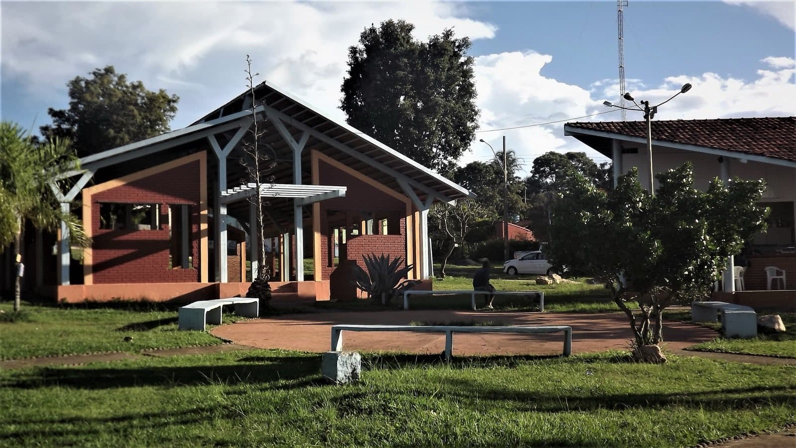
A historic village in São João d’Aliança, made official in 1862, which once concentrated administrative and judicial functions for an extensive area between Formosa and Cavalcante.
CultureMunicipality of São João d’Aliança
- Arriving by car
- Take care on the access road
- Sep 2026
- Price paid
- No information yet
- no data
- Pets
- No information yet
- no data
- By car
- ≈ 126.4 km from Alto Paraíso de Goiás
- ≈ 2 h 39
Before you head out
Status today
Check today’s opening with the operator before you head out.
Weather at this place
Loading forecast…
How to visit respectfully
- Arrange visits before you travel and reach out to the community itself to learn more about its identity and its quilombola recognition process.
When to go
Year-round
Confirm before you go: the current legal status of the quilombola recognition process, with the community and the relevant authorities.
Contact this place
We do not have a confirmed direct channel yet. Ask the tourist service center or a local guide.
Other ways to find the place
Made official in 1862, Forte once brought together administration, justice, a post office and a school for an extensive area between Formosa and Cavalcante. The 1931 municipal reorganization changed these functions, but the paths and the residents’ memory preserve its regional importance.
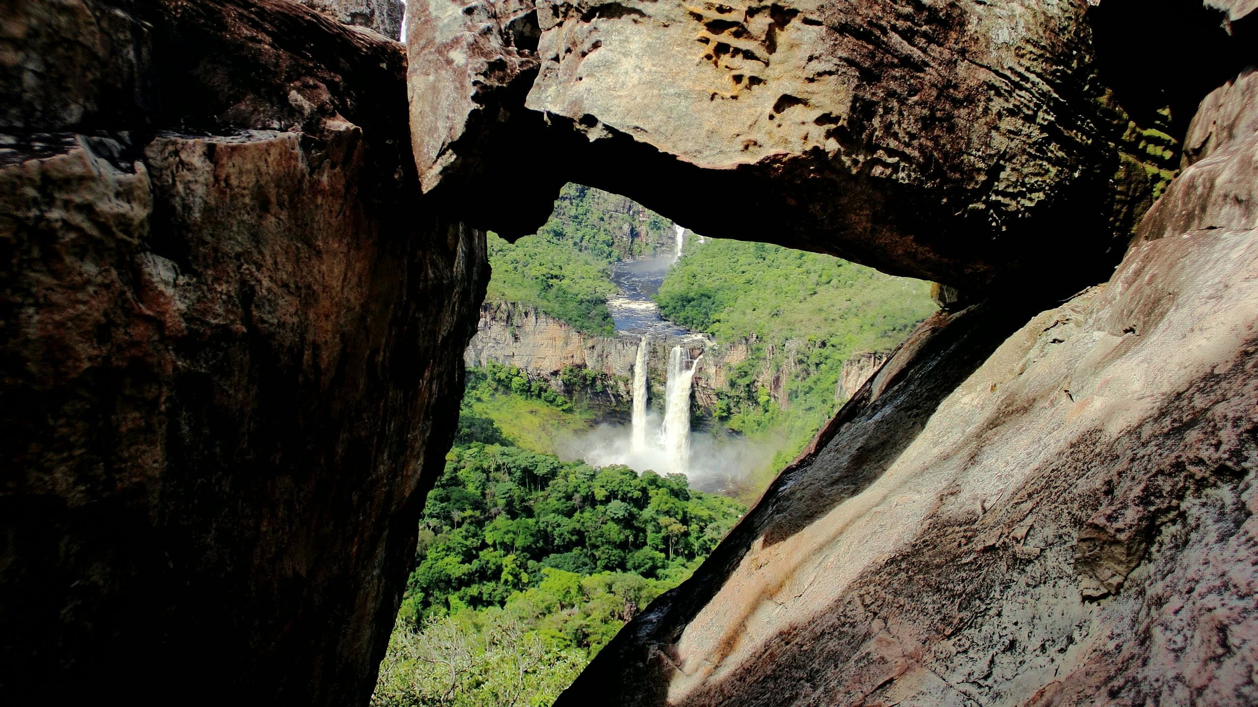
The way to the Vão do Paranã descends the mountain range on a winding, rocky road. The landscape helps you understand the distances covered by those who lived and moved around the region. The arrival of television in the 1980s is one of the episodes the community remembers.
Get to know the village by meeting its residents, their stories and their daily life. Arrange visits before you travel and reach out to the community itself to learn more about its identity and its quilombola recognition process.
Before you go
Our team checked these values first; visitors keep them current. Tap the votes to see how visitors answered.
Our checkVisitors
Arriving by car
Our check, updated Sep 2026Take care on the access roadExpect a dirt or rural stretch, uneven ground or a long drive, or information about the vehicle needed is still missing. It does not mean you need a 4×4.Pets
no dataNo information yetWe have not found a confirmed public policy for this visit. Contact the operator before bringing your pet.
No information yet: price per person, kids, local guide, and best time
Getting there
Approximate driving distances · Forte · map pin
- Vila InfinitoOpenStreetMap estimate≈ 162.4 km≈ 3 h 15Route
- Pousada CamarásOpenStreetMap estimate≈ 125.7 km≈ 2 h 38Route
- São JorgeOpenStreetMap estimate≈ 160.2 km≈ 3 h 10Route
- Alto Paraíso de GoiásOpenStreetMap estimate≈ 126.4 km≈ 2 h 39Route
- CavalcanteOpenStreetMap estimate≈ 213.5 km≈ 4 h 04Route
Estimate to the road nearest the map pin, which may not be the entrance. Confirm the access with the operator.
Estimated times without stops; dirt stretches usually take longer.
Approximate driving distances for Vila Infinito, Pousada Camarás and the centers of São Jorge, Alto Paraíso de Goiás and Cavalcante where a reliable arrival point is mapped. Some routes were checked in Google Maps; the others are OSRM / OpenStreetMap estimates. Where no distance is shown, the link opens the route in Google Maps. Walking trails are not included.
Road estimates: OSRM / OpenStreetMap. Maps may suggest a different route. Checked on Oct 20, 2026. Arrival point source ↗
Distance sources
Road estimates: OSRM / OpenStreetMap. Maps may suggest a different route. Checked on Oct 24, 2026.
Arrival point source ↗The road, as visitors found it
Our check: Dirt road descending the Serra Geral do Paranã, about 80 km from São João d’Aliança. Confirm recent upkeep and whether every stretch is suitable for your car.
Contact this place
We do not have a confirmed direct channel yet. Ask the tourist service center or a local guide.
Other ways to find the place
Tips from visitors
Photos from visitors
No verified photo yet. If you have been here, the first photo can be yours.
The place and the terrain
Where to arrive and start. The entrance and parking do not have a confirmed point on this map yet. Arrange your arrival with the operator or local guide using the contacts on this page before planning your route.