
WaterfallMunicipality of Nova Roma
Paredão do Céu
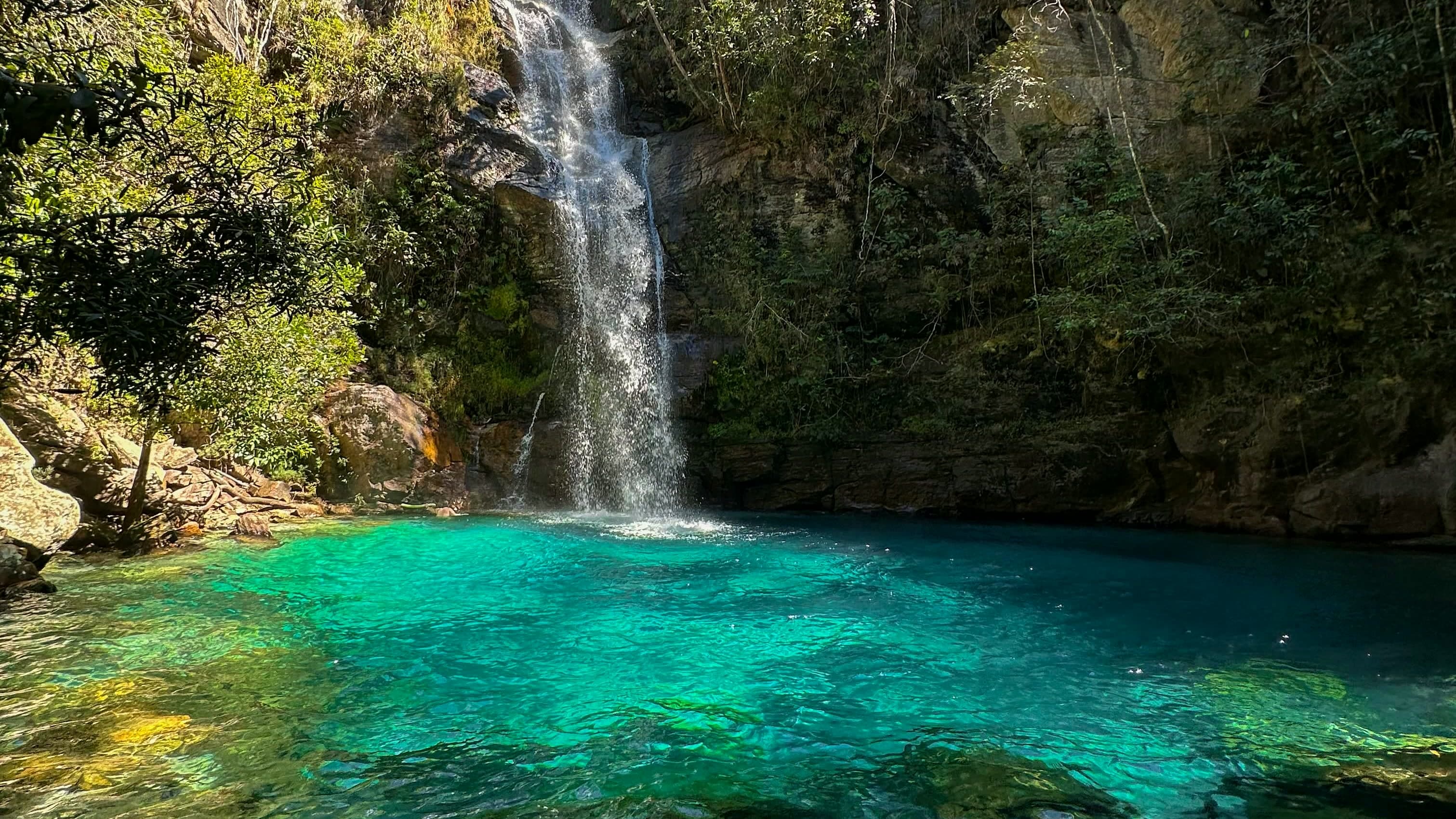
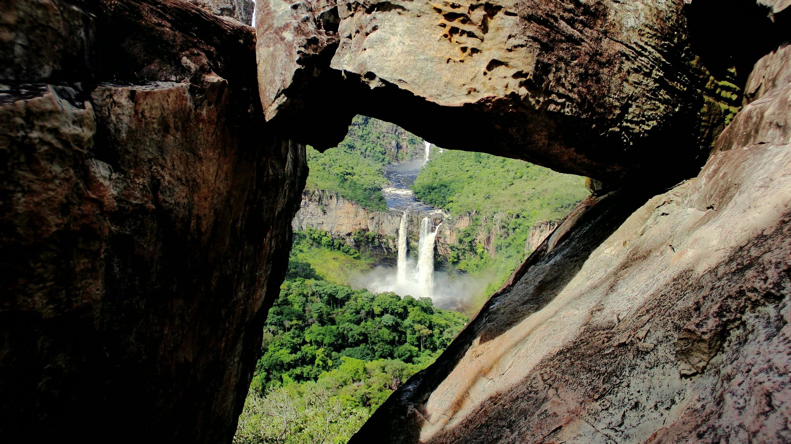
A natural attraction featured in the Nova Roma section, reached by a hike of about 5.5 km each way to the falls of the Rio Forquilha, where two branches of water and greenish pools appear in front of the rock wall.
- ≈ 5.5 kmwalk, each way
- Arriving by car
- Access to be confirmed
- Sep 2026
- Price paid
- R$ 0 to R$ 30, past price
- Sep 2026
- Pets
- No information yet
- no data
- By car
- ≈ 75.9 km from Alto Paraíso de Goiás
Before you head out
Status today
Check today’s opening with the operator before you head out.
Weather at this place
Loading forecast…
Precautions on site
The condition of the access route can deteriorate depending on rainfall and maintenance.
For your safety: hire a local guide.
Find local guides →When to go
To be confirmed
Contact this place
We do not have a confirmed direct channel yet. Ask the tourist service center or a local guide.
Other ways to find the place
Paredão do Céu is in the Nova Roma area, on a route that combines rural roads with a hike to the falls of the Rio Forquilha.
The hike is about 5.5 km each way, alternating flatter and steep sections until you reach the falls of the Rio Forquilha. In front of the rock wall, two branches of water and greenish pools form a landscape less visited than the better-known circuits.
The route lies in the area covered by the expansion of Parque Nacional da Chapada dos Veadeiros.
Before you go
Our team checked these values first; visitors keep them current. Tap the votes to see how visitors answered.
Our checkVisitors
Arriving by car
Our check, updated Sep 2026Access to be confirmedWe don’t yet have enough information about the road to the arrival point. A pin on the map or an address doesn’t tell you the road’s condition.Hiking effort
Our check, updated Sep 2026IntenseA longer, steeper or more technical route, with rocks, water crossings and a possible overnight stay. Requires fitness and planning suited to the activity.Price paid
Our check, updated Sep 2026R$ 0 to R$ 30Past price, not the current rate
Pets
no dataNo information yetWe have not found a confirmed public policy for this visit. Contact the operator before bringing your pet.
Need a local guide?
Our check, updated Sep 2026Recommended
No information yet: kids and best time
Prices and bookings
Confirm the price and what is included when booking.
The past price helps compare outings; it is not the current rate and may not include a local guide or transportation.
The route
Approximately 5.5 km each way, alternating flat sections and steep descents.
Guiding
Hire an accredited local guide who knows the site and confirm authorization to visit that sector of the park.
Confirm before you go
The authorized access points, whether the trail is open and whether you need authorization from national park management. Having a local guide does not, on its own, replace that authorization when it is required. Check with the park and the municipality before organizing your visit.
Getting there
Approximate driving distances · Cachoeira Paredão do Céu, Nova Roma
- Vila InfinitoRoute
- Pousada Camarásby way of Alto Paraíso de Goiás≈ 77.7 kmRoute
- São JorgeRoute
- Alto Paraíso de Goiásmeasured on Google Maps≈ 75.9 kmRoute
- CavalcanteRoute
Approximate driving distances for Vila Infinito, Pousada Camarás and the centers of São Jorge, Alto Paraíso de Goiás and Cavalcante where a reliable arrival point is mapped. Some routes were checked in Google Maps; the others are OSRM / OpenStreetMap estimates. Where no distance is shown, the link opens the route in Google Maps. Walking trails are not included.
When the route passes through another base: the OSRM / OpenStreetMap leg to that base, plus the Google Maps route from there. Checked on Sep 15, 2026. Distance sources ↗
Distance sources
Routes checked on Google Maps; the distance varies with the route chosen. Checked on Sep 15, 2026.
The road, as visitors found it
Our check: Arrange authorized entry, parking and a suitable vehicle with the municipality and park management. Road conditions up to the start of the hike need to be confirmed.
Contact this place
We do not have a confirmed direct channel yet. Ask the tourist service center or a local guide.
Other ways to find the place
Tips from visitors
Photos from visitors
No verified photo yet. If you have been here, the first photo can be yours.
The place, the terrain and the trails
Where to arrive and start · Cachoeira Paredão do Céu. Waterfall point on Google Maps. Access is via Povoado Amendoim, in Nova Roma, about 3 km north, where the trail starts.
See the point, its directions and source
The green markers show where to start the visit. Check each point’s type: a property reference marks the establishment, not the parking spot or the exact trailhead.
Property reference
Cachoeira Paredão do Céu
Waterfall point on Google Maps. Access is via Povoado Amendoim, in Nova Roma, about 3 km north, where the trail starts.
Location reference · checked Oct 23, 2026. Follow local signs when you arrive.
Routes and elevationVisitor recordings, with the distance and elevation of the whole route, are on Wikiloc. Search routes on Wikiloc ↗