

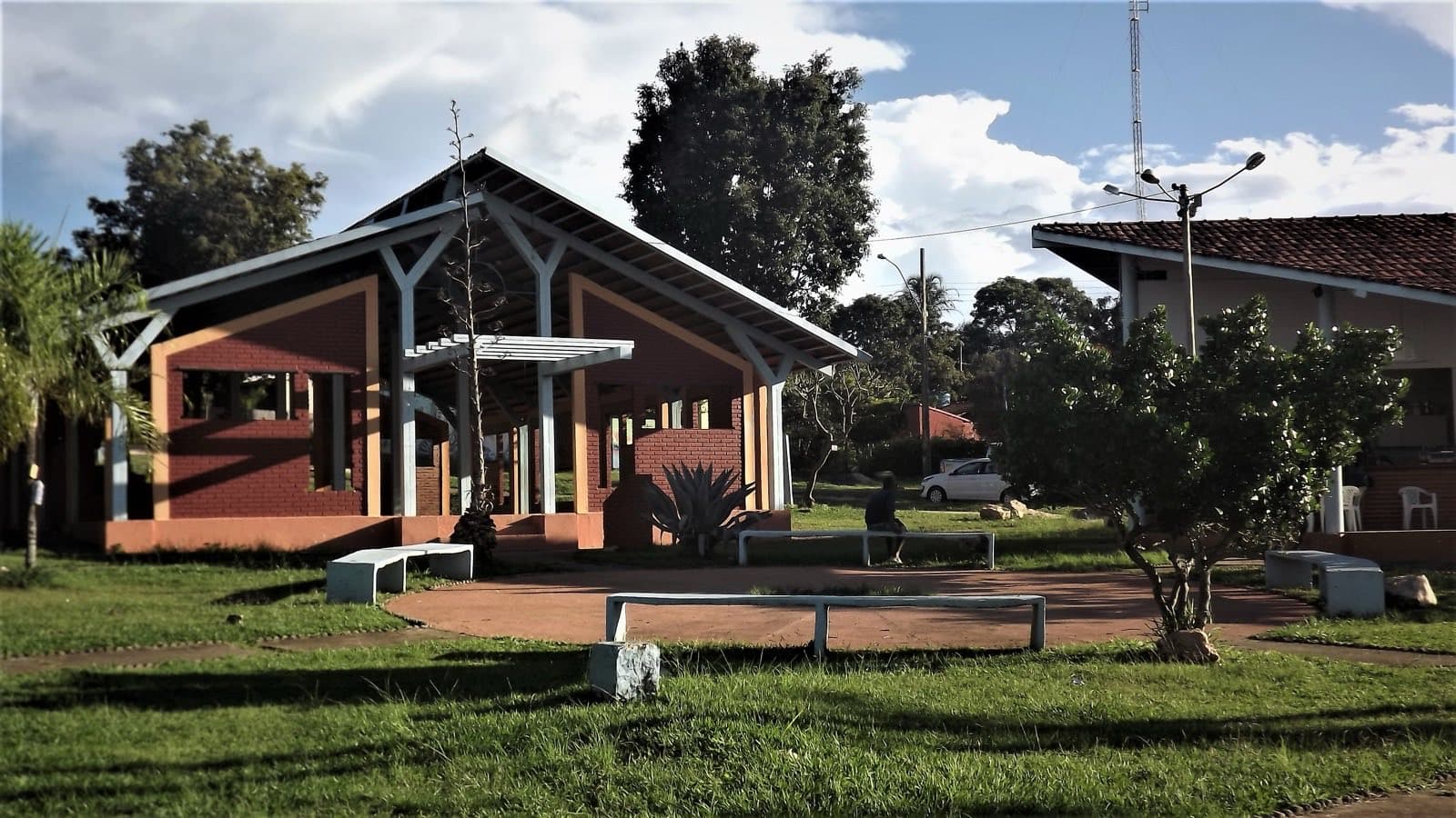
ComplexMunicipality of Colinas do Sul
No Pé da Serra
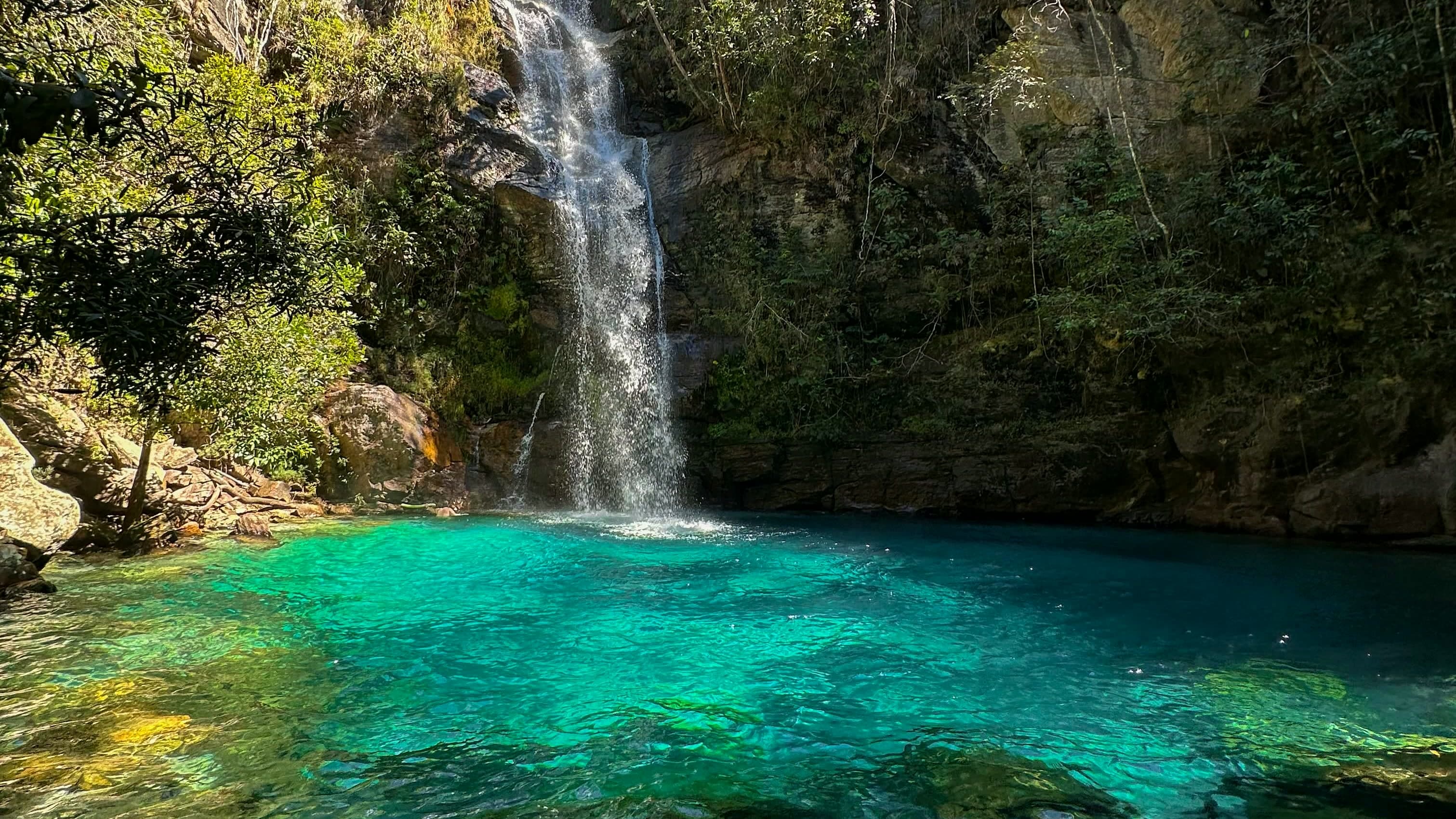
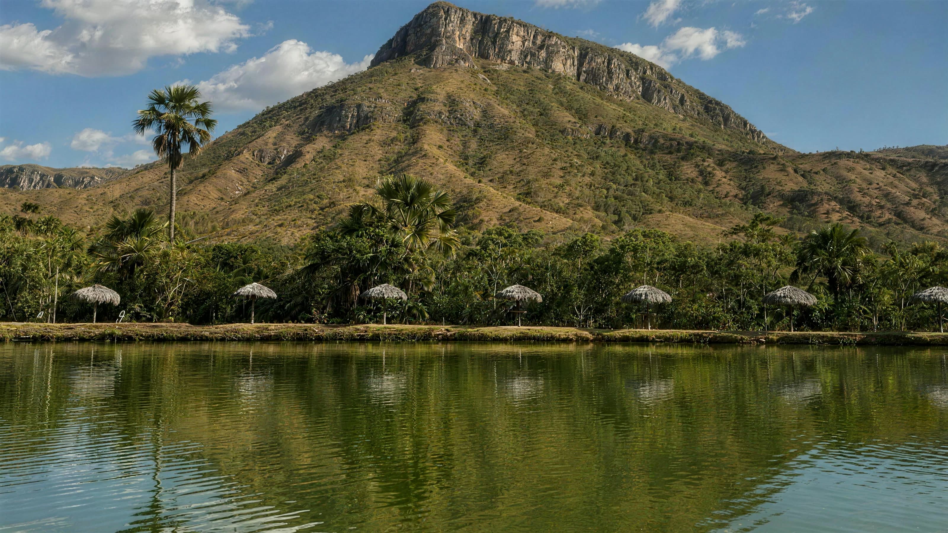
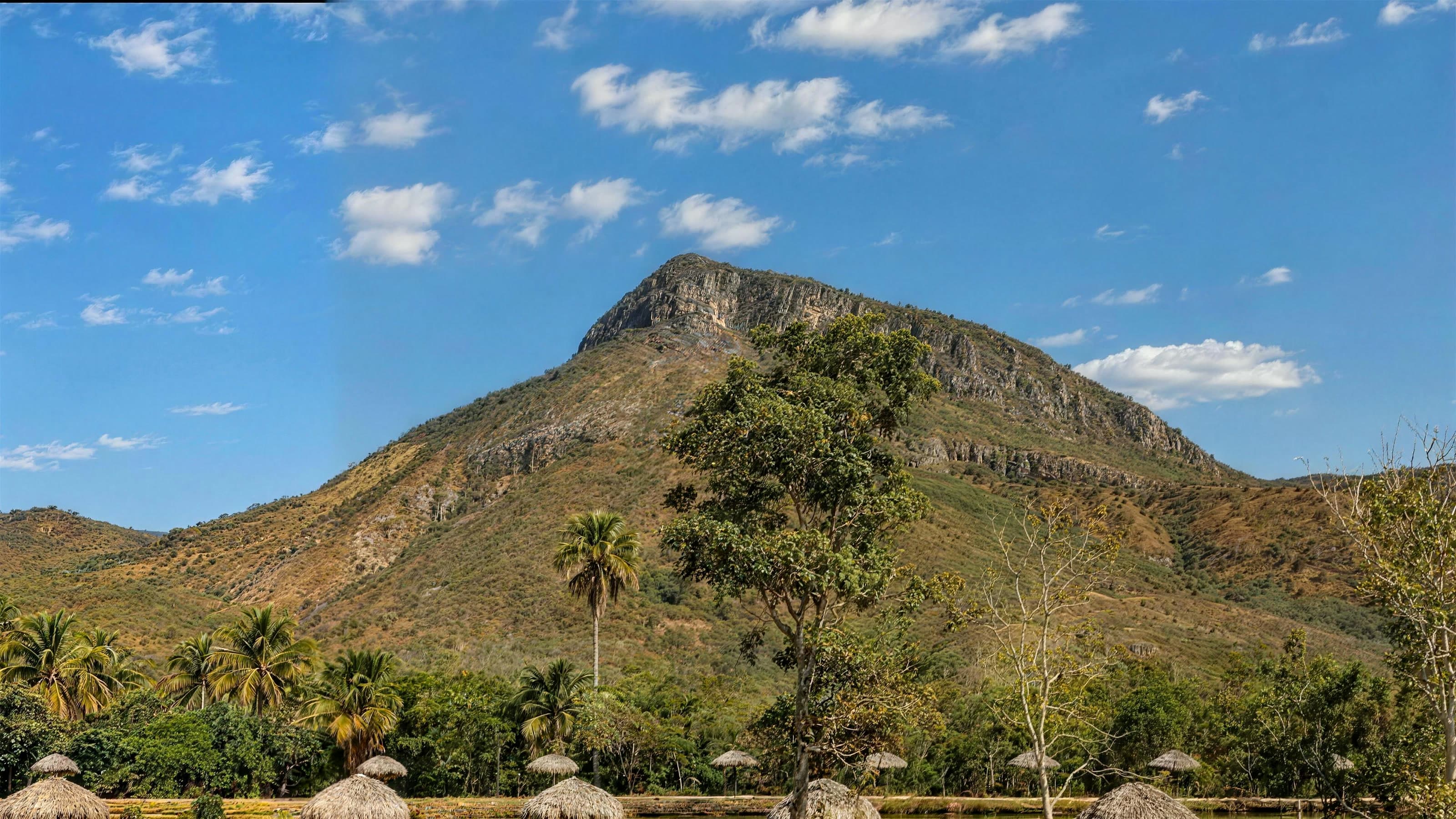
A fishing spot with a restaurant and pools on the GO-239, where the trail to Cachoeira Santa Lázara and the Gruta Encantada starts.
Hours: Wed–Sun 10am–6pm · closed Mon & Tue · the place’s Instagram, Oct 2026
- Arriving by car
- No information yet
- no data
- Price paid
- R$ 30 per person
- Oct 2026
- Pets
- No information yet
- no data
- By car
- ≈ 22.3 km from São Jorge
- ≈ 22 min
Before you head out
Status today
Check today’s opening with the operator before you head out.
Weather at this place
Loading forecast…
Precautions on site
Only enter the Gruta Encantada with a local guide and if you have experience.
For your safety: hire a local guide.
Find local guides →When to go
To be confirmed
No source gives a visiting season.
Confirm before you go: opening days and hours, on the official profile, and whether the trail to the waterfall needs a local guide.
Contact this place
Other ways to find the place
No Pé da Serra is a fishing spot with a regional-food restaurant and pools.
In 2021 it opened from 8 a.m. to 6 p.m.; current opening days have not been published.
Before you go
Our team checked these values first; visitors keep them current. Tap the votes to see how visitors answered.
Our checkVisitors
Hiking effort
Our check, updated Oct 2026LightA short path with few steep climbs or descents. It can suit groups with different paces, after considering each person’s condition and the terrain.Approximate walk: 1.5 km
Price paid
Our check, updated Oct 2026R$ 30 per personPets
no dataNo information yetWe have not found a confirmed public policy for this visit. Contact the operator before bringing your pet.
Kids
Our check, updated Oct 2026Good for kidsNeed a local guide?
Our check, updated Oct 2026Depends on the route
No information yet: road and best time
Tickets and costs
R$ 30 per person, pool area included; R$ 20 for residents with proof of address. Children up to 4 go free; ages 5 to 10 and over-65s pay half. Sport fishing, R$ 40.
Prices checked on Oct 22, 2026. Confirm when booking.
How to visit
It is at km 103 of the GO-239, toward São Jorge, according to the Colinas do Sul tourist map.
The route
An easy trail, about 1.5 km according to a 2021 report, leads to Cachoeira Santa Lázara and the Gruta Encantada.
Getting there
Approximate driving distances · No Pé da Serra · pesqueiro e restaurante
- Vila InfinitoOpenStreetMap estimate≈ 24.2 km≈ 27 minRoute
- Pousada CamarásOpenStreetMap estimate≈ 59.2 km≈ 57 minRoute
- São JorgeOpenStreetMap estimate≈ 22.3 km≈ 22 minRoute
- Alto Paraíso de GoiásOpenStreetMap estimate≈ 59.9 km≈ 58 minRoute
- CavalcanteOpenStreetMap estimate≈ 147 km≈ 2 h 23Route
Estimated times without stops; dirt stretches usually take longer.
Approximate driving distances for Vila Infinito, Pousada Camarás and the centers of São Jorge, Alto Paraíso de Goiás and Cavalcante where a reliable arrival point is mapped. Some routes were checked in Google Maps; the others are OSRM / OpenStreetMap estimates. Where no distance is shown, the link opens the route in Google Maps. Walking trails are not included.
Road estimates: OSRM / OpenStreetMap. Maps may suggest a different route. Checked on Oct 20, 2026. Arrival point source ↗
Distance sources
Road estimates: OSRM / OpenStreetMap. Maps may suggest a different route. Checked on Oct 24, 2026.
Arrival point source ↗The road, as visitors found it
Contact this place
Other ways to find the place
Tips from visitors
Photos from visitors
The place, the terrain and the trails
Where to arrive and start · No Pé da Serra · pesqueiro e restaurante. Fishing spot reference on Google Maps, on the GO-239. The trail to Cachoeira Santa Lázara and the Gruta Encantada starts here.
See the point, its directions and source
The green markers show where to start the visit. Check each point’s type: a property reference marks the establishment, not the parking spot or the exact trailhead.
Property reference
No Pé da Serra · pesqueiro e restaurante
Fishing spot reference on Google Maps, on the GO-239. The trail to Cachoeira Santa Lázara and the Gruta Encantada starts here.
Location reference · checked Oct 20, 2026. Follow local signs when you arrive.
Routes and elevationVisitor recordings, with the distance and elevation of the whole route, are on Wikiloc. Search routes on Wikiloc ↗