ComplexMunicipality of Teresina de Goiás
Camping Jacundá
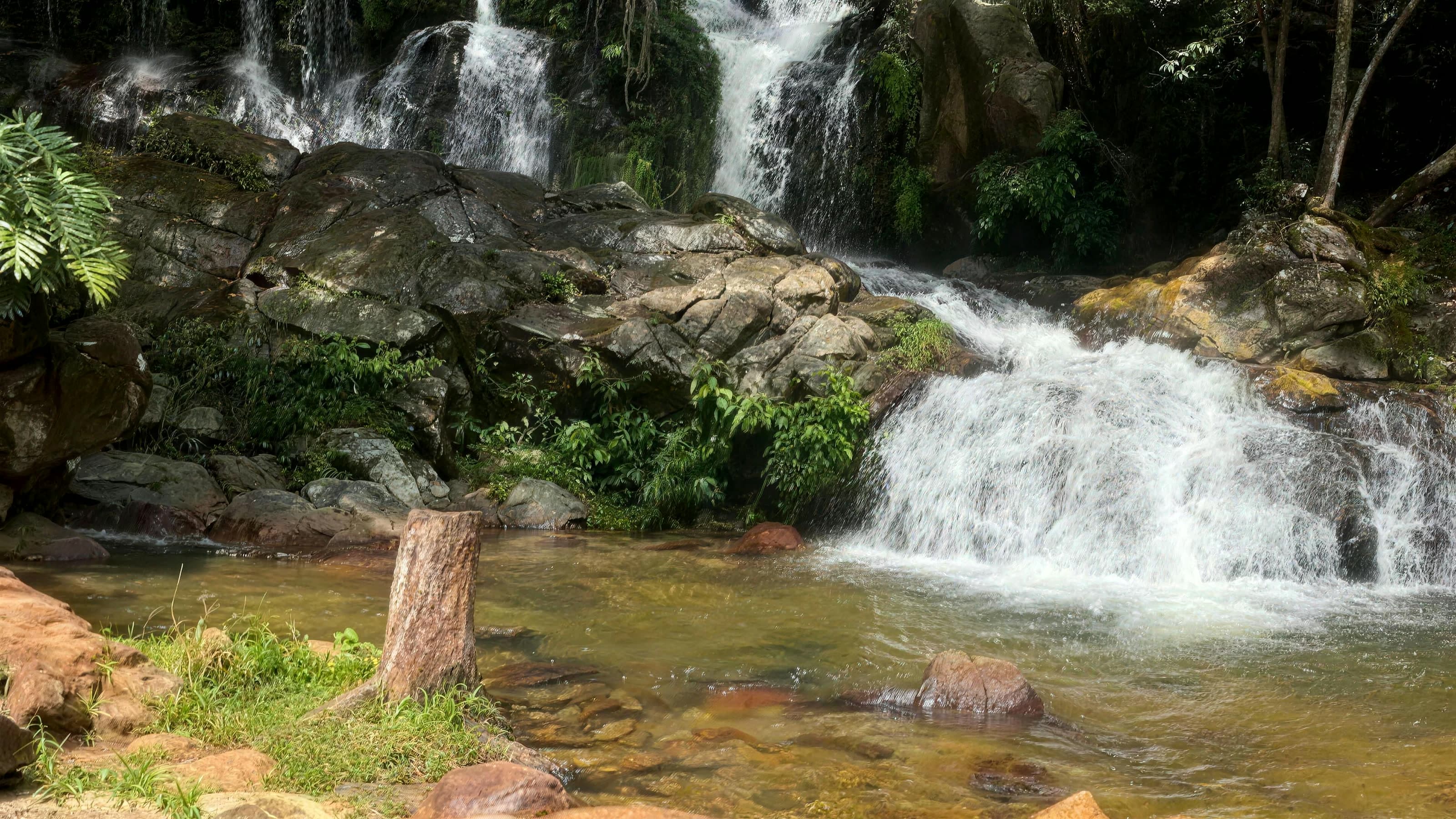
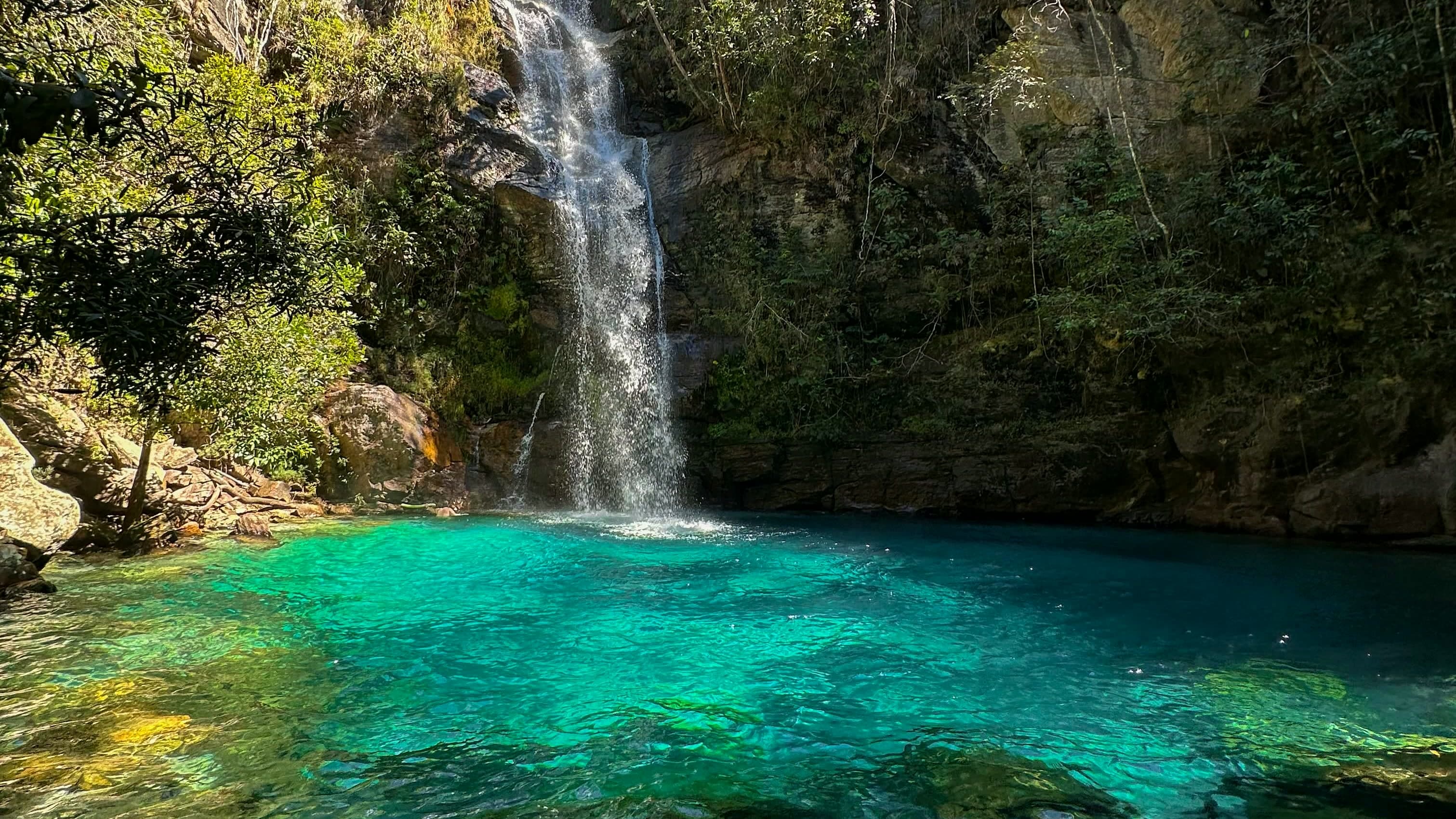
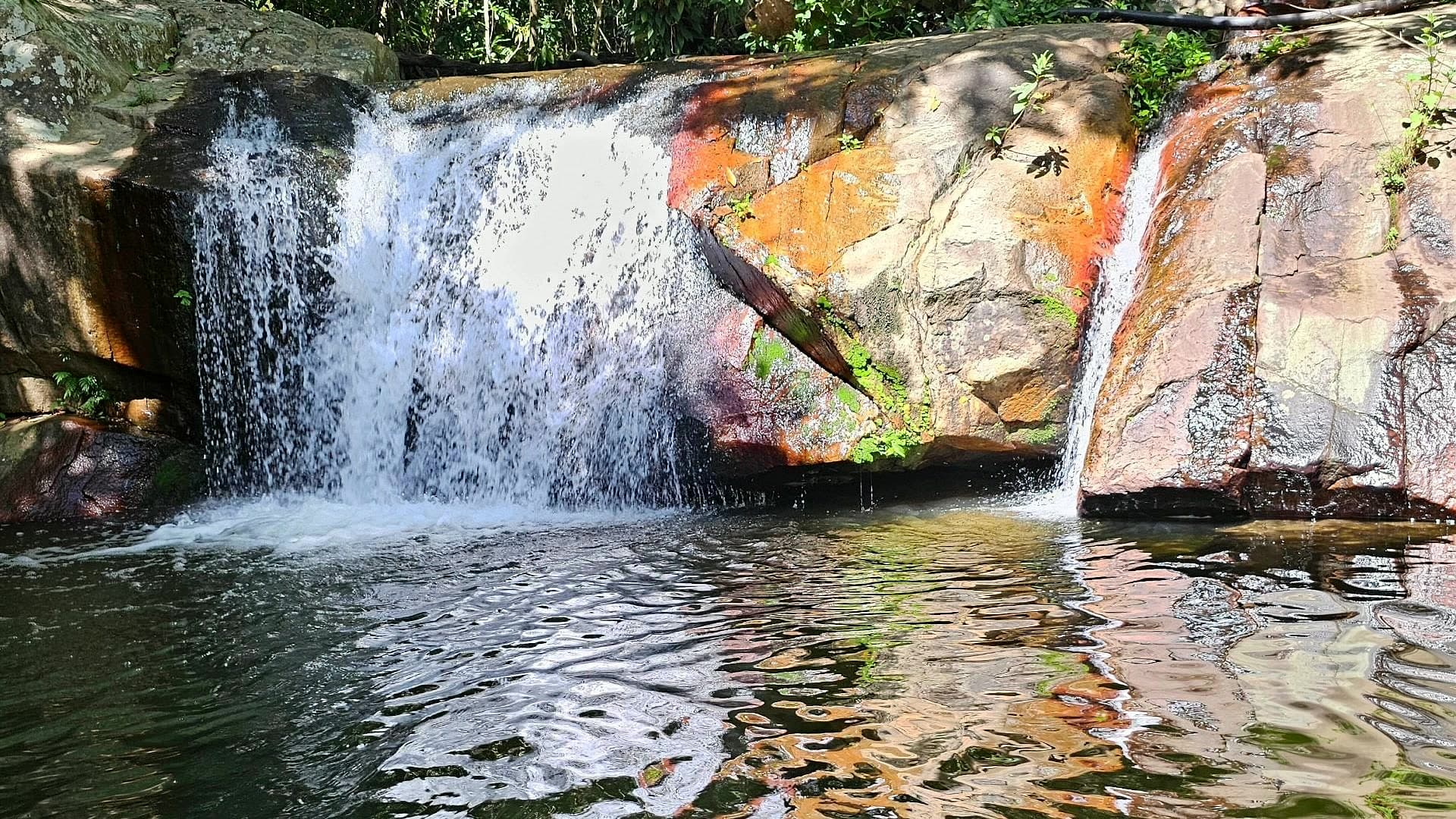
Riverside camping, chalets and a restaurant about 6 km from Teresina de Goiás, with access to a waterfall.
- Arriving by car
- No information yet
- no data
- Price paid
- R$ 30 per person
- Nov 2026
- Pets
- No information yet
- no data
- By car
- ≈ 27.9 km from Cavalcante
- ≈ 31 min
Before you head out
Status today
Check today’s opening with the operator before you head out.
Weather at this place
Loading forecast…
When to go
To be confirmed
No source gives a visiting season.
Confirm before you go: opening hours, the trail to the waterfall and the rules on swimming, pets and children.
Contact this place
Other ways to find the place
Camping Jacundá has camping, chalets and a restaurant by the river. Its official profile features a waterfall among its highlights.
No source uses the name Cachoeira do Jacundá. The 2019 tourism inventory lists a Cachoeira do Tum on the same stretch of the GO-118, run by someone named Jacundá, but no source confirms they are the same place.
Opening hours and rules on swimming, pets and children have not been published. Arrange your visit through the official profile before you go.
Before you go
Our team checked these values first; visitors keep them current. Tap the votes to see how visitors answered.
Our checkVisitors
Price paid
Our check, updated Nov 2026R$ 30 per personPets
no dataNo information yetWe have not found a confirmed public policy for this visit. Contact the operator before bringing your pet.
No information yet: road, effort, kids, local guide, and best time
Tickets and costs
R$ 30 per person for a day visit, open every day from 7:30 am to 5 pm; camping R$ 70 per adult per night; children up to 9 go free (owner, on WhatsApp, 17/11/2026).
Prices checked on Nov 17, 2026. Confirm when booking.
How to visit
About 6 km from Teresina de Goiás on the GO-118: 5 km of asphalt plus some 850 meters of dirt road, according to a Goiás Turismo study.
Getting there
Approximate driving distances · GO-118 turn-off · Fundo de Quintal and Jacundá
- Vila InfinitoOpenStreetMap estimate≈ 99.1 km≈ 1 h 37Route
- Pousada CamarásOpenStreetMap estimate≈ 61.8 km≈ 1 h 00Route
- São JorgeOpenStreetMap estimate≈ 97 km≈ 1 h 32Route
- Alto Paraíso de GoiásOpenStreetMap estimate≈ 61.7 km≈ 59 minRoute
- CavalcanteOpenStreetMap estimate≈ 27.9 km≈ 31 minRoute
Estimated times without stops; dirt stretches usually take longer.
Approximate driving distances for Vila Infinito, Pousada Camarás and the centers of São Jorge, Alto Paraíso de Goiás and Cavalcante where a reliable arrival point is mapped. Some routes were checked in Google Maps; the others are OSRM / OpenStreetMap estimates. Where no distance is shown, the link opens the route in Google Maps. Walking trails are not included.
Road estimates: OSRM / OpenStreetMap. Maps may suggest a different route. Checked on Oct 20, 2026. Arrival point source ↗
Distance sources
Road estimates: OSRM / OpenStreetMap. Maps may suggest a different route. Checked on Oct 24, 2026.
Arrival point source ↗The road, as visitors found it
Contact this place
Other ways to find the place
Tips from visitors
Photos from visitors
The place, the terrain and the trails
Where to arrive and start · GO-118 turn-off · Fundo de Quintal and Jacundá. Turn-off from the GO-118 about 5 km from Teresina, towards Alto Paraíso. From here, some 850 meters of dirt road lead to both places, rough for low cars after rain.
See all 2 points, directions and sources
The green markers show where to start the visit. Check each point’s type: a property reference marks the establishment, not the parking spot or the exact trailhead.
Venue address
GO-118 turn-off · Fundo de Quintal and Jacundá
Turn-off from the GO-118 about 5 km from Teresina, towards Alto Paraíso. From here, some 850 meters of dirt road lead to both places, rough for low cars after rain.
Location reference · checked Oct 20, 2026. Follow local signs when you arrive.
Property reference
Cachoeira e Camping Jacundá
Campsite reference on Google Maps, listed as Cachoeira e Camping Jacundá. Arrange your visit with the owner.
Location reference · checked Oct 20, 2026. Follow local signs when you arrive.
Routes and elevationVisitor recordings, with the distance and elevation of the whole route, are on Wikiloc. Search routes on Wikiloc ↗