WaterfallNear Vila de São Jorge
Cachoeira do Cordovil
Part of Santuário Volta da Serra
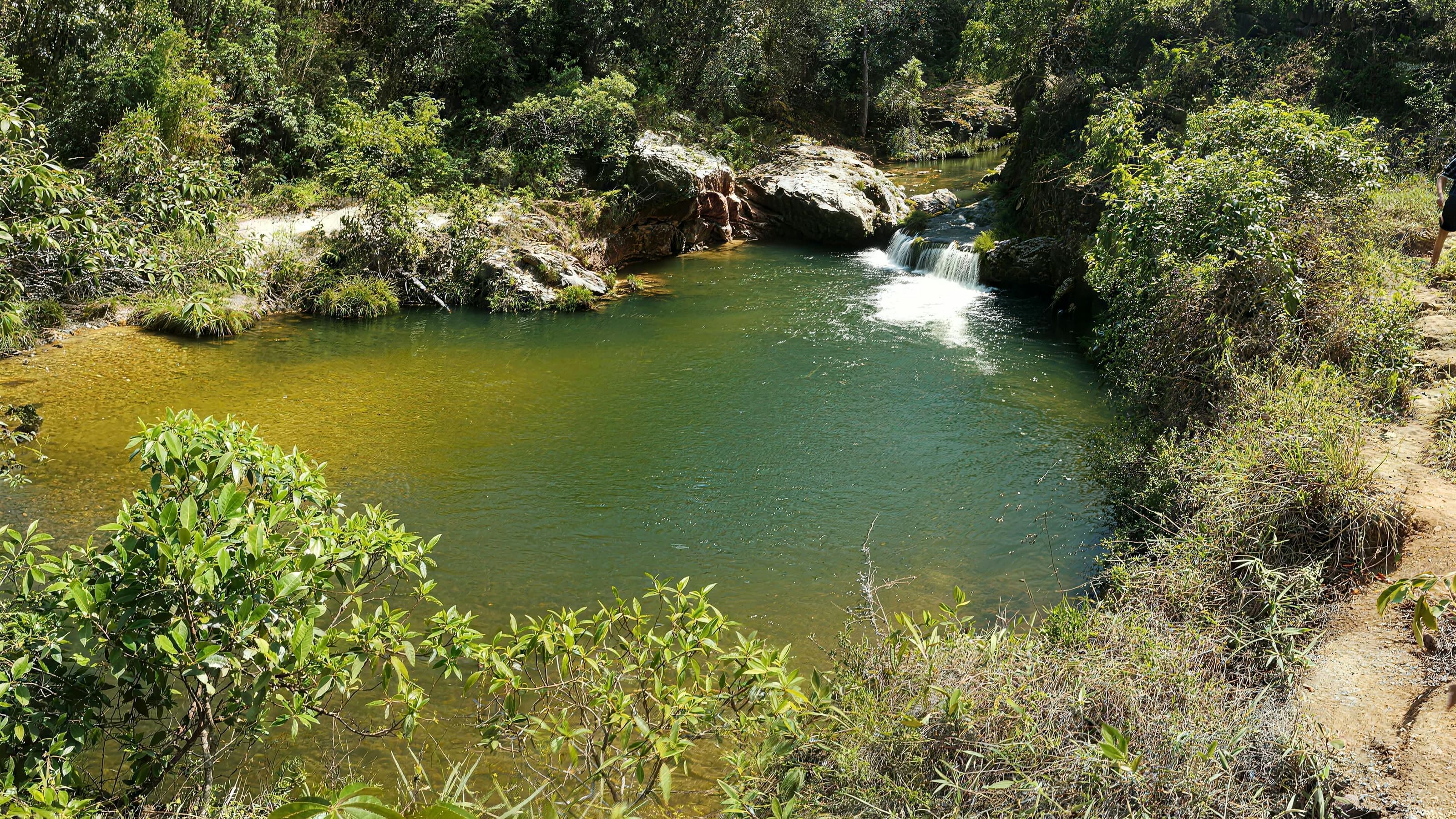
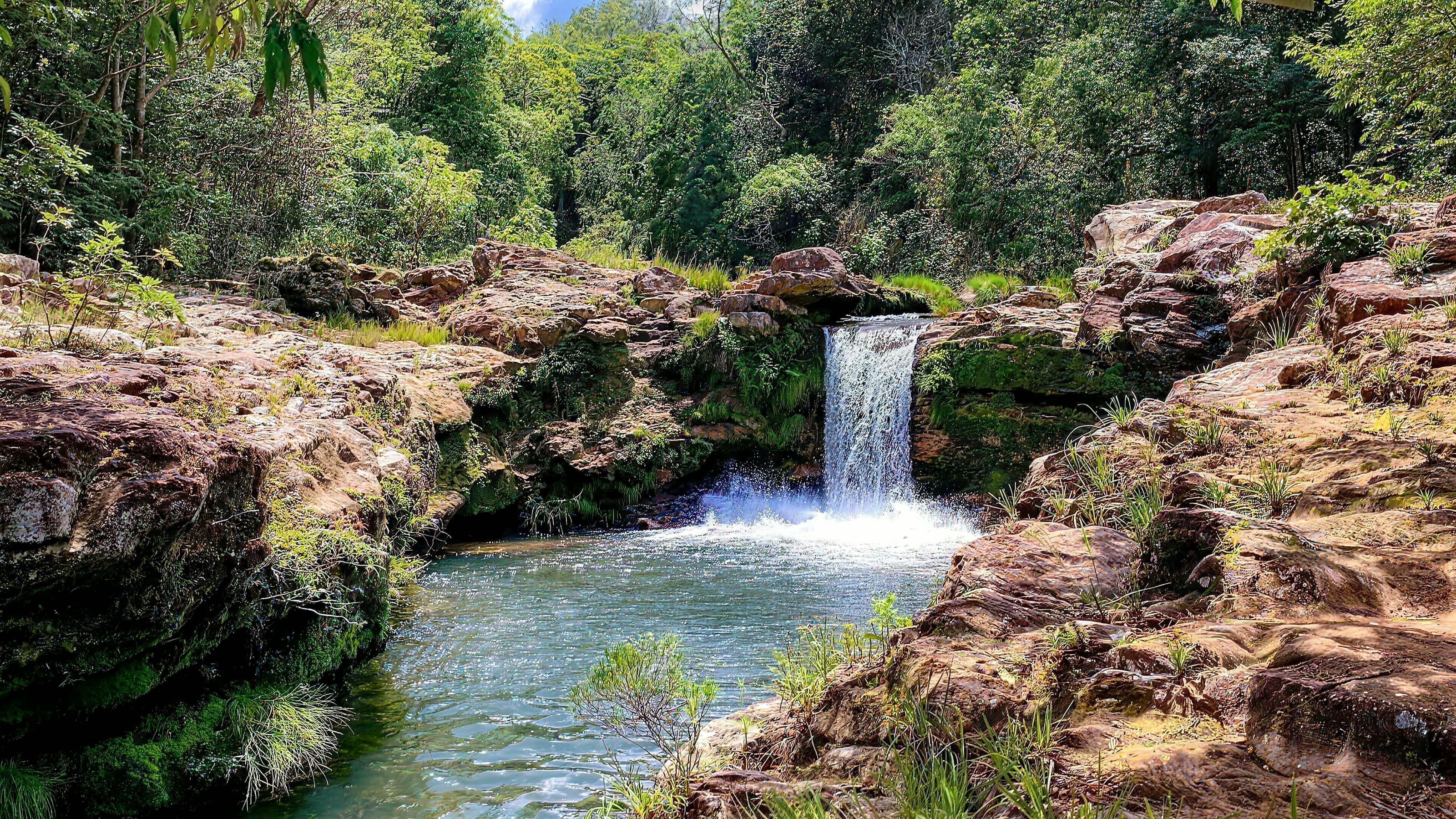
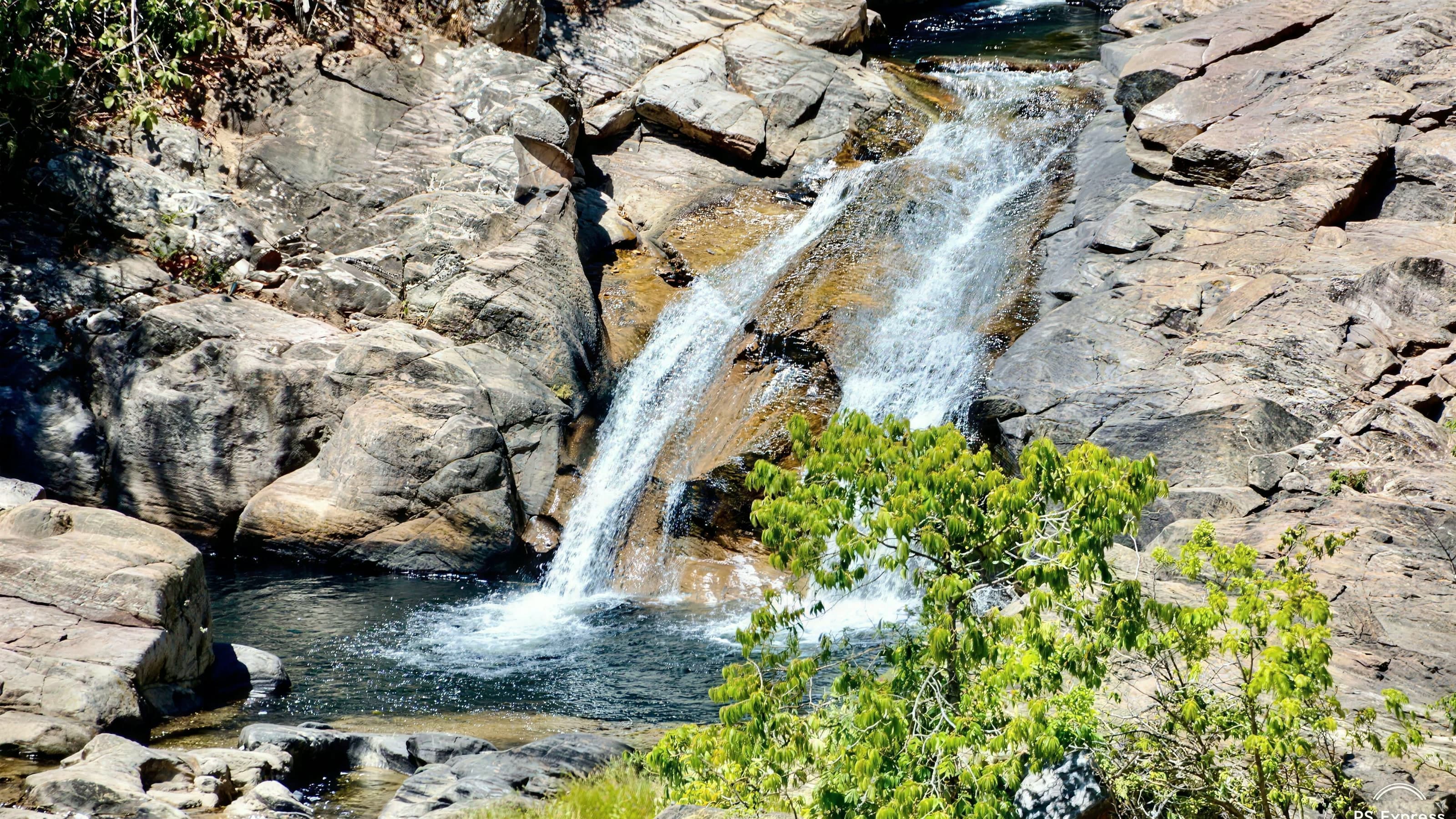
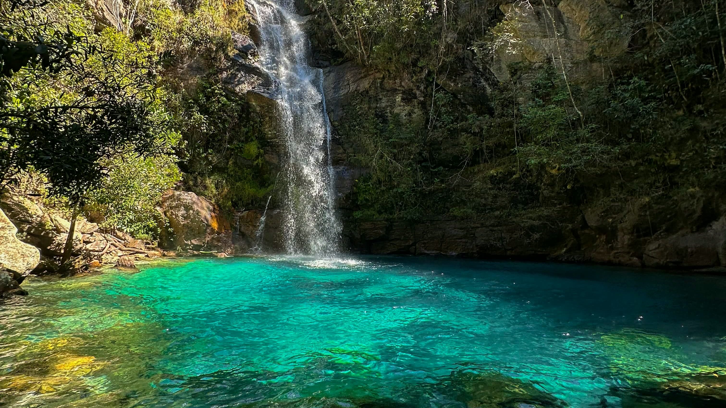
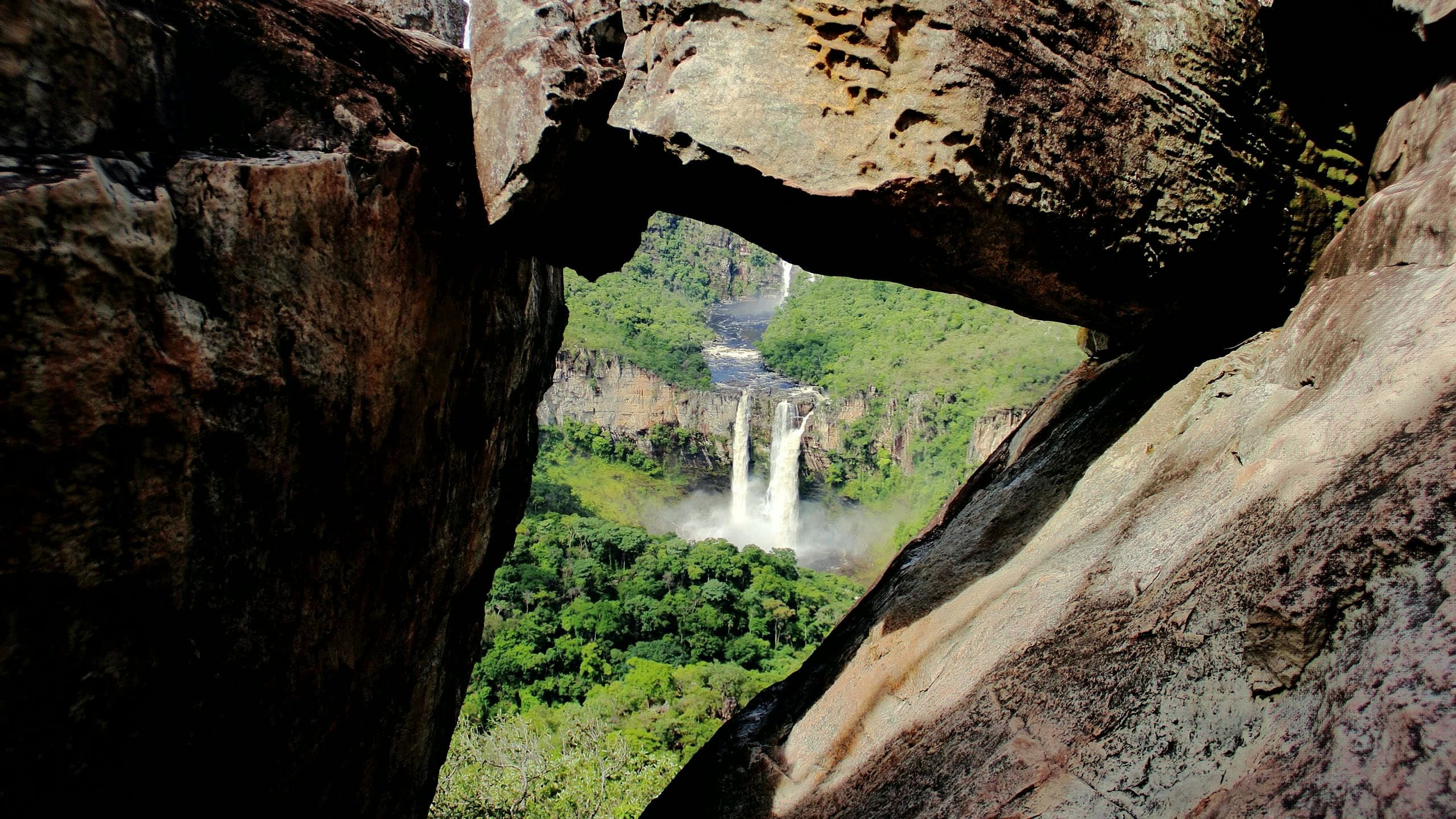
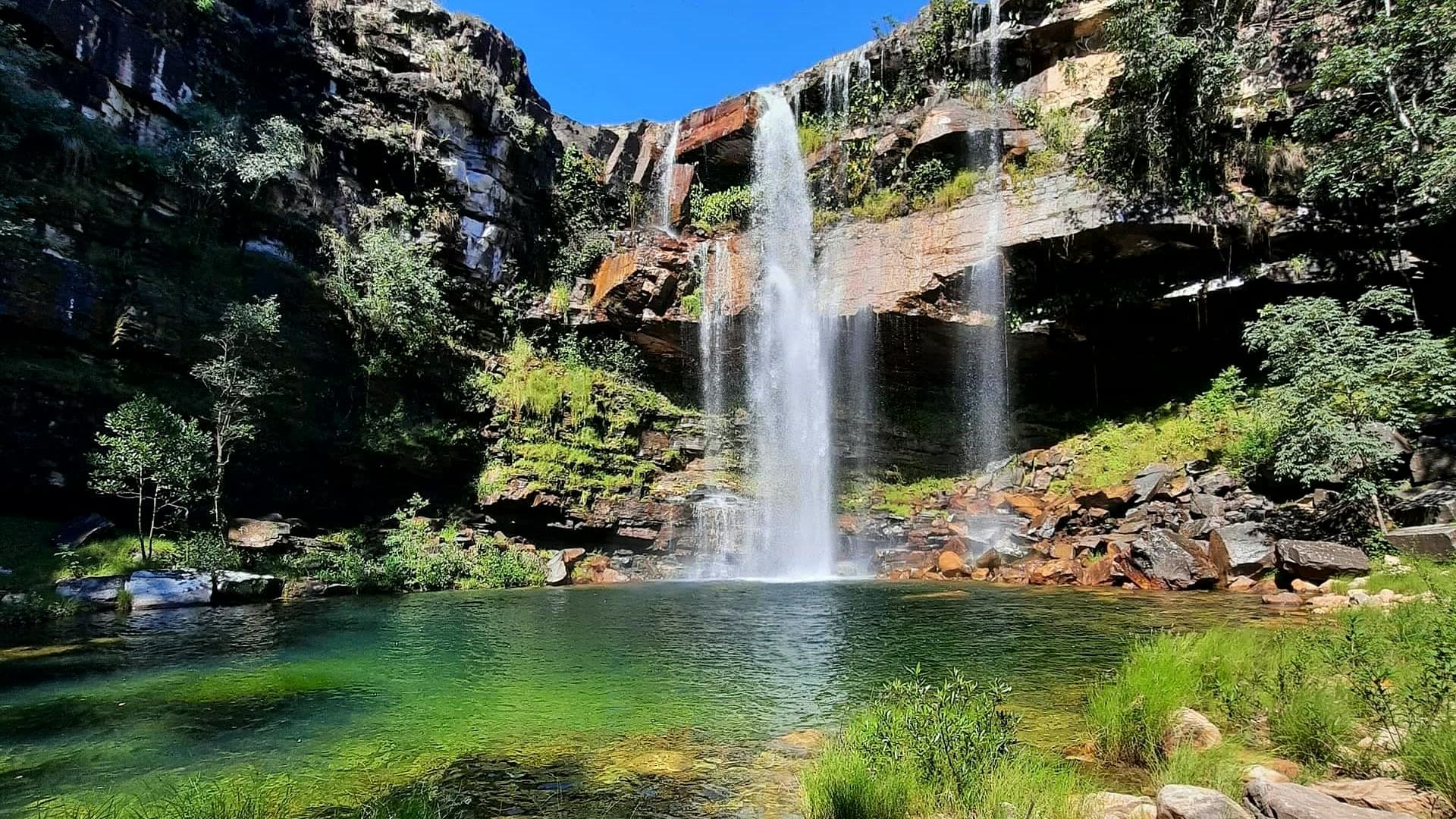
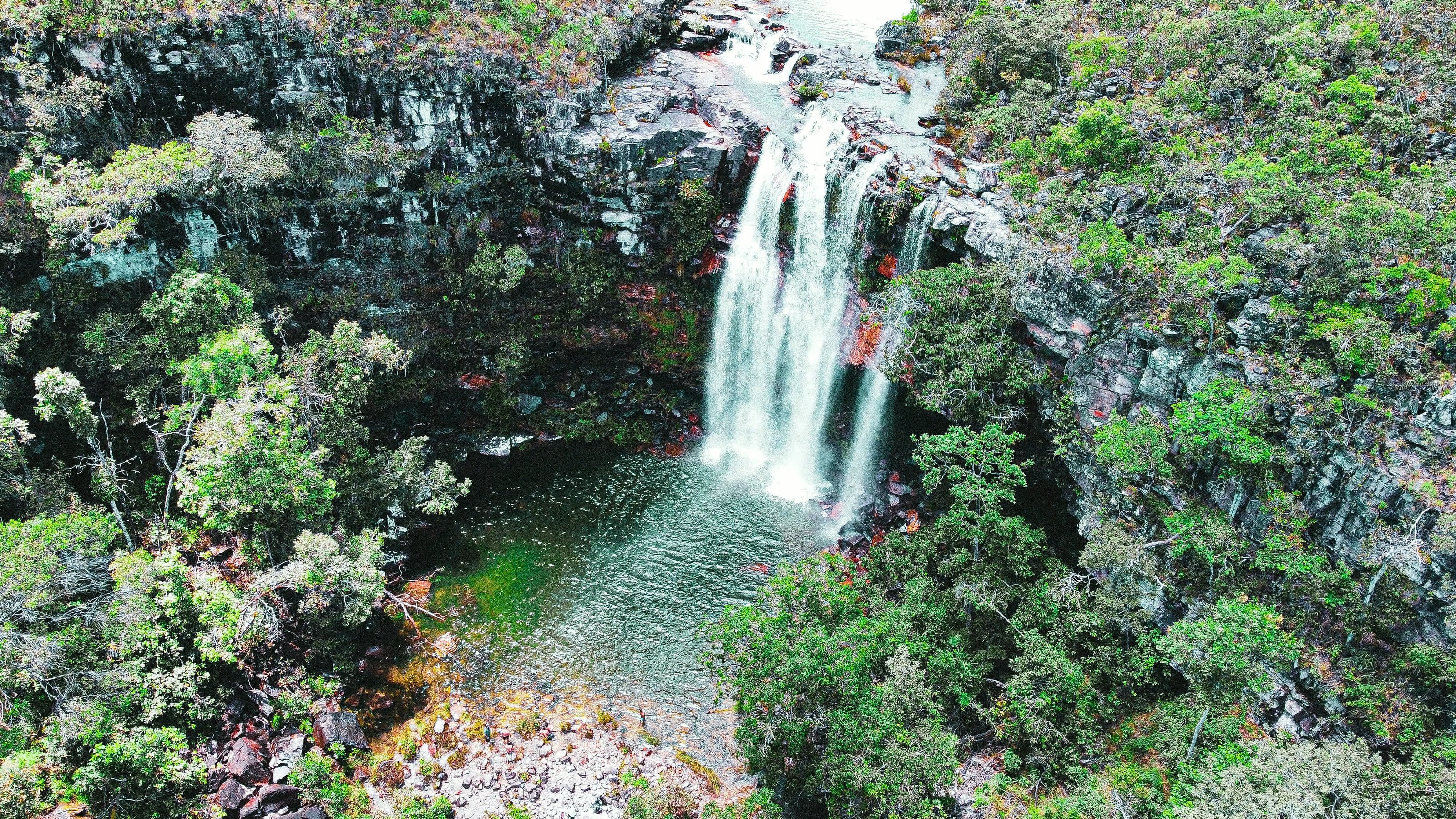
Drop of approximately 25 meters into a pool of cold, greenish water at Fazenda Volta da Serra, about 1.2 km from the parking area, with rocks on the approach.
Hours: Daily, 8:30am–3:30pm · last entry 1:30pm · leave Cordovil by 3pm and Poço das Esmeraldas by 3:30pm · the place’s Instagram, Oct 2026
© Pedro Fatore · CC BY-SA 4.0 · Wikimedia Commons
- Arriving by car
- Take care on the access road
- Sep 2026
- Price paid
- R$ 60 per person
- Oct 2026
- Pets
- Pets not allowed
- Sep 2026
- By car
- ≈ 16.7 km from São Jorge
- ≈ 37 min
Before you head out
Status today
Check today’s opening with the operator before you head out.
Weather at this place
Loading forecast…
Precautions on site
The rocks and the depth call for care when getting into and out of the water.
For your safety: hire a local guide.
Find local guides →When to go
To be confirmed
Confirm before you go: the available route and parking point on the date, and swimming conditions.
Contact this place
Includes the channels of Santuário Volta da Serra, which runs this circuit.
Other ways to find the place
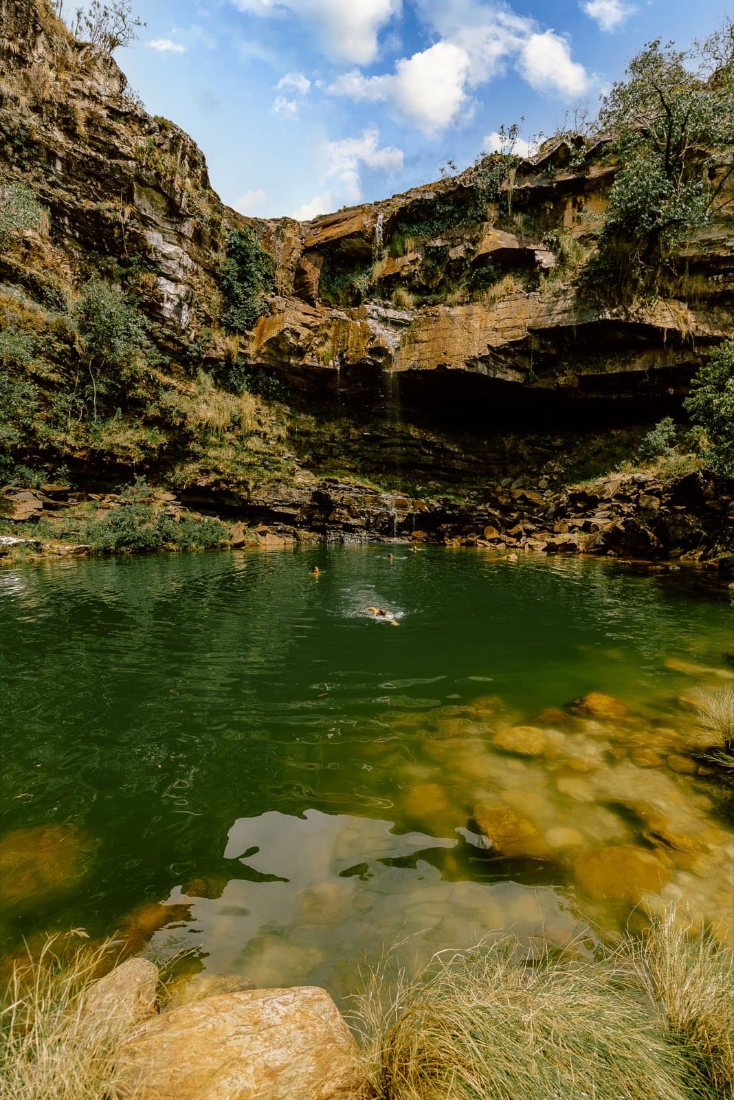
Cordovil has a drop of approximately 25 meters into a pool of cold, greenish water. The indicated route from the parking area is about 1.2 km, with rocks on the approach. Under certain light conditions, in the afternoon you can see rainbows in the spray of the falls. The contrast between the rock wall, the vegetation and the clarity of the pool is the heart of the experience.
Before you go
Our team checked these values first; visitors keep them current. Tap the votes to see how visitors answered.
Our checkVisitors
Arriving by car
Our check, updated Sep 2026Take care on the access roadExpect a dirt or rural stretch, uneven ground or a long drive, or information about the vehicle needed is still missing. It does not mean you need a 4×4.Hiking effort
Our check, updated Sep 2026ModerateClimbs, descents and short stretches of rock or gravel. Requires stamina and some hiking experience; heat and rain can make it harder.Price paid
Our check, updated Oct 2026R$ 60 per personPets
Our check, updated Sep 2026Pets not allowedThe official Santuário Volta da Serra website prohibits pets on the visiting circuits.
Read policy ↗Checked on Sep 15, 2026
No information yet: kids, local guide, and best time
Tickets and costs
R$ 60 per person (R$ 55 if you come with a local guide), covering Cordovil, Poço das Esmeraldas, Cachoeira do Encanto and Rodeador. R$ 30 for residents, children aged 7 to 12, over-60s and people with disabilities. Children up to 6 go free. Cash, Pix or card.
Charged at the entrance to Santuário Volta da Serra
Prices checked on Oct 22, 2026. Confirm when booking.
The route
About 1.2 km from the parking area, according to the sanctuary.
Getting there
Approximate driving distances · Cachoeira do Cordovil parking area
- Vila InfinitoOpenStreetMap estimate≈ 18.8 km≈ 43 minRoute
- Pousada CamarásOpenStreetMap estimate · to Visitor reception · Volta da Serra≈ 30 km≈ 32 minRoute
- São JorgeOpenStreetMap estimate≈ 16.7 km≈ 37 minRoute
- Alto Paraíso de GoiásOpenStreetMap estimate≈ 36.3 km≈ 56 minRoute
- CavalcanteOpenStreetMap estimate≈ 123.4 km≈ 2 h 22Route
Estimated times without stops; dirt stretches usually take longer.
Approximate driving distances for Vila Infinito, Pousada Camarás and the centers of São Jorge, Alto Paraíso de Goiás and Cavalcante where a reliable arrival point is mapped. Some routes were checked in Google Maps; the others are OSRM / OpenStreetMap estimates. Where no distance is shown, the link opens the route in Google Maps. Walking trails are not included.
Road estimates: OSRM / OpenStreetMap. Maps may suggest a different route. Checked on Oct 20, 2026. Arrival point source ↗
Distance sources
Road estimates: OSRM / OpenStreetMap. Maps may suggest a different route. Checked on Oct 24, 2026.
Arrival point source ↗The road, as visitors found it
Our check: Use the parking area of Fazenda Volta da Serra's main circuit, after about 7.7 km of dirt road from the highway. The rest of the way to the waterfall is on foot.
Contact this place
Includes the channels of Santuário Volta da Serra, which runs this circuit.
Other ways to find the place
Tips from visitors
Photos from visitors
The trail
- Distance
- 1.2 km one way · 2.3 km there and back
- Ascent
- ≈ 36 m
- Descent
- ≈ 5 m
- Min. / max. elevation
- 1,009 / 1,049 m
Ascent and descent are counted on the way out. Traced along OpenStreetMap paths (survey of Sep 14, 2026), checked on Oct 7, 2026. Elevations from the open AWS Terrain Tiles model, at about 30 m resolution. Approximate figures: confirm the permitted route with the attraction’s operator.
See visitor recordings on Wikiloc ↗The place, the terrain and the trails
Where to arrive and start · Visitor reception · Volta da Serra. Start at the reception to organize the visit. The staff point out the parking area and trails for each of the farm's attractions.
See all 2 points, directions and sources
The green markers show where to start the visit. Check each point’s type: a property reference marks the establishment, not the parking spot or the exact trailhead.
Reception
Visitor reception · Volta da Serra
Start at the reception to organize the visit. The staff point out the parking area and trails for each of the farm's attractions.
Location reference · checked Sep 14, 2026. Follow local signs when you arrive.
Parking
Cachoeira do Cordovil parking area
Internal parking point. Stop first at the Volta da Serra reception and follow local directions to continue on to this point.
Location reference · checked Sep 14, 2026. Follow local signs when you arrive.