

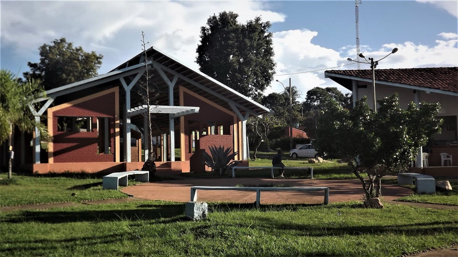
ComplexNear Alto Paraíso de Goiás
Fazenda Alpes Goianos
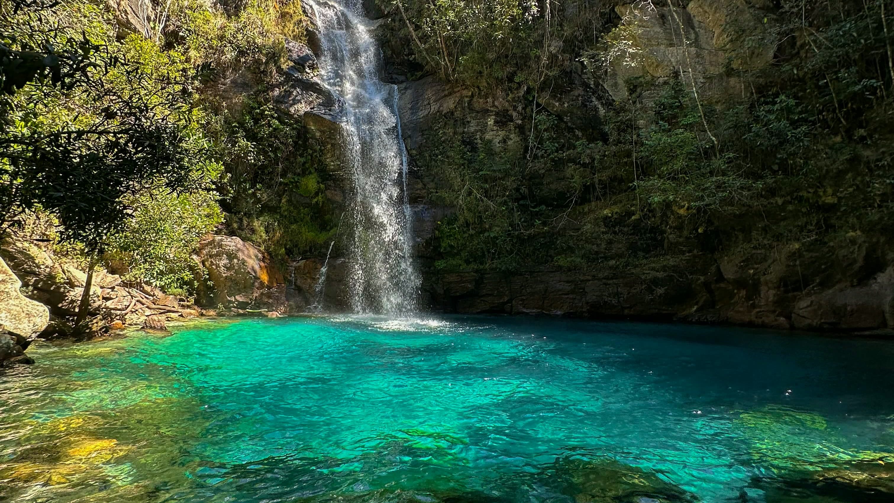
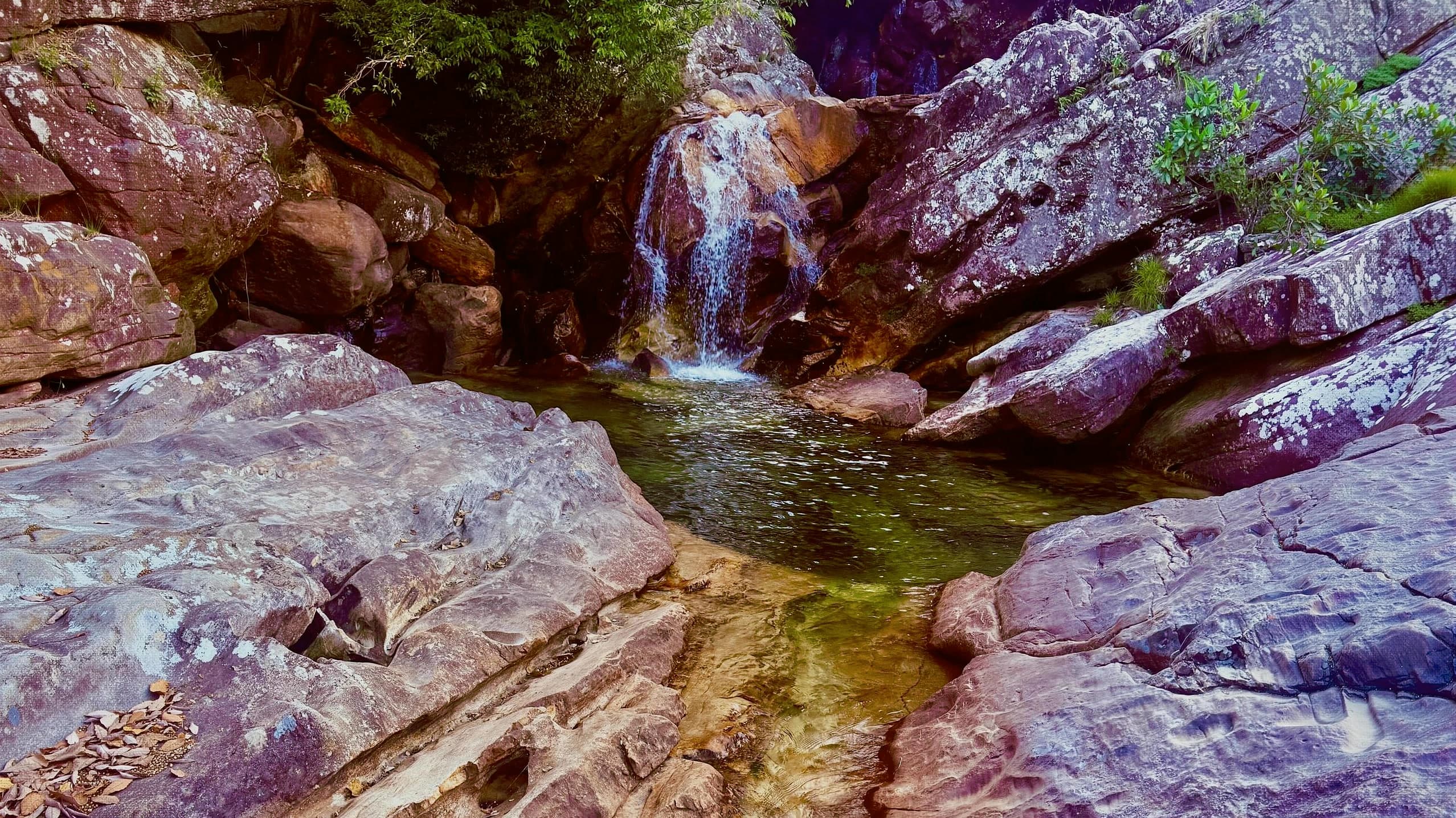
An ecotourism farm on the Santana River, off the GO-118, with waterfalls, swimming pools, trails, viewpoints and camping.
Hours: Daily, 8am–5pm · the place’s Instagram, Oct 2026
- Arriving by car
- No information yet
- no data
- Price paid
- R$ 40 per person
- Oct 2026
- Pets
- No information yet
- no data
- By car
- ≈ 36.1 km from Alto Paraíso de Goiás
- ≈ 35 min
Before you head out
Status today
Check today’s opening with the operator before you head out.
Weather at this place
Loading forecast…
Precautions on site
There is no phone signal at the farm: plan your return and bring water.
For your safety: hire a local guide.
Find local guides →When to go
To be confirmed
No source gives a visiting season.
Confirm before you go: road distance, opening days, prices and rules for children, with the farm itself.
Contact this place
Other ways to find the place
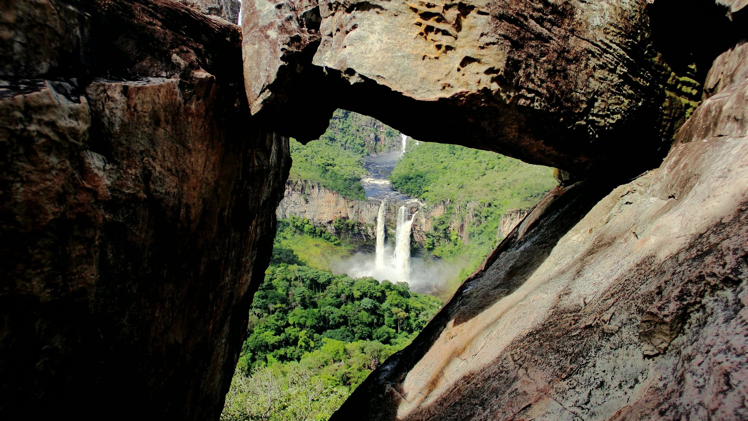
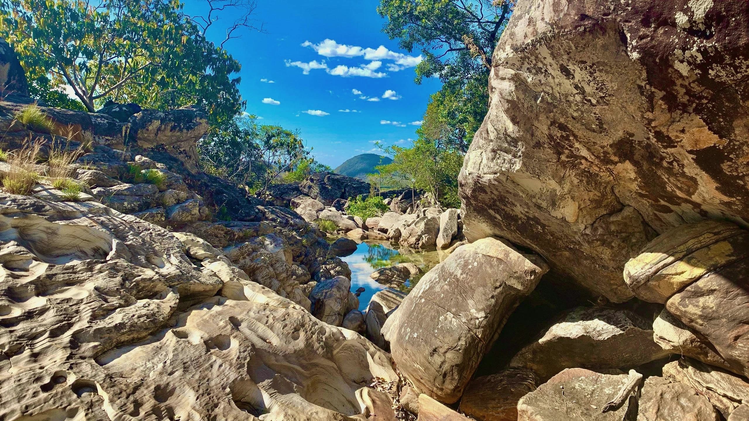
Fazenda Alpes Goianos is at km 197 of the GO-118, between Alto Paraíso and Teresina de Goiás. The Santana River runs over large rocks across high grasslands, forming waterfalls and swimming pools linked by trails and viewpoints through preserved cerrado.
One published route gives about 15 minutes' walk to the first fall and 2.8 km to the last, at a medium level, and recommends a local guide for the full visit. The farm has camping with power, hot showers and a shared kitchen, plus chalets.
The farm's own profile asks visitors to book ahead. Sources disagree on the distance from Alto Paraíso (19 km in one, 45 km in another) and even on the municipality.
Before you go
Our team checked these values first; visitors keep them current. Tap the votes to see how visitors answered.
Our checkVisitors
Hiking effort
Our check, updated Oct 2026ModerateClimbs, descents and short stretches of rock or gravel. Requires stamina and some hiking experience; heat and rain can make it harder.Approximate walk: 2.8 km
Price paid
Our check, updated Oct 2026R$ 40 per personPets
no dataNo information yetWe have not found a confirmed public policy for this visit. Contact the operator before bringing your pet.
Need a local guide?
Our check, updated Oct 2026Recommended
No information yet: road, kids, and best time
Tickets and costs
Monday to Thursday, R$ 30 per person (R$ 25 for residents); Friday to Sunday, R$ 40 (R$ 35 for residents). Camping R$ 50 per person, entry included.
Prices checked on Oct 22, 2026. Confirm when booking.
How to visit
GO-118, km 197, between Alto Paraíso and Teresina de Goiás, paved up to the entrance; the inner dirt stretch has no published length.
The route
About 15 minutes to the first fall and 2.8 km to the last, at a medium level, according to a published route.
Getting there
Approximate driving distances · Fazenda Alpes Goianos
- Vila InfinitoOpenStreetMap estimate≈ 73.5 km≈ 1 h 13Route
- Pousada CamarásOpenStreetMap estimate≈ 36.2 km≈ 36 minRoute
- São JorgeOpenStreetMap estimate≈ 71.3 km≈ 1 h 08Route
- Alto Paraíso de GoiásOpenStreetMap estimate≈ 36.1 km≈ 35 minRoute
- CavalcanteOpenStreetMap estimate≈ 53.6 km≈ 55 minRoute
Estimated times without stops; dirt stretches usually take longer.
Approximate driving distances for Vila Infinito, Pousada Camarás and the centers of São Jorge, Alto Paraíso de Goiás and Cavalcante where a reliable arrival point is mapped. Some routes were checked in Google Maps; the others are OSRM / OpenStreetMap estimates. Where no distance is shown, the link opens the route in Google Maps. Walking trails are not included.
Road estimates: OSRM / OpenStreetMap. Maps may suggest a different route. Checked on Oct 20, 2026. Arrival point source ↗
Distance sources
Road estimates: OSRM / OpenStreetMap. Maps may suggest a different route. Checked on Oct 24, 2026.
Arrival point source ↗The road, as visitors found it
Contact this place
Other ways to find the place
Tips from visitors
Photos from visitors
The place, the terrain and the trails
Where to arrive and start · Fazenda Alpes Goianos. Farm reference on Google Maps, on the GO-118. Book your visit and look for the reception for parking and trails.
See the point, its directions and source
The green markers show where to start the visit. Check each point’s type: a property reference marks the establishment, not the parking spot or the exact trailhead.
Property reference
Fazenda Alpes Goianos
Farm reference on Google Maps, on the GO-118. Book your visit and look for the reception for parking and trails.
Location reference · checked Oct 20, 2026. Follow local signs when you arrive.
Routes and elevationVisitor recordings, with the distance and elevation of the whole route, are on Wikiloc. Search routes on Wikiloc ↗