
AdventureNear Vila de São Jorge
Travessia São Jorge–Capela
- Arriving by car
- Depends on the itinerary
- according to the guide
- Price paid
- R$ 51 to R$ 100, historical range
- according to the guide
- Pets
- Pets not allowed
- according to the guide
- By car
- ≈ 1.2 km from São Jorge
- ≈ 3 min
No verified photo yet
Before you head out
Status today
Check today’s opening with the operator before you head out.
Weather at this place
Loading forecast…
When to go
To be confirmed
Confirm the season with the park.
Plan your visit: Exact route, direction, entry gate and pickup logistics at the end; whether the names São Jorge–Capela and Fiandeiras–Capela refer to the same booked route.
Contact this place
Includes the channels of Parque Nacional da Chapada dos Veadeiros, which runs this circuit.
Other channels
Other ways to find the place
Contact suggestions are reviewed by the curators before they appear here.
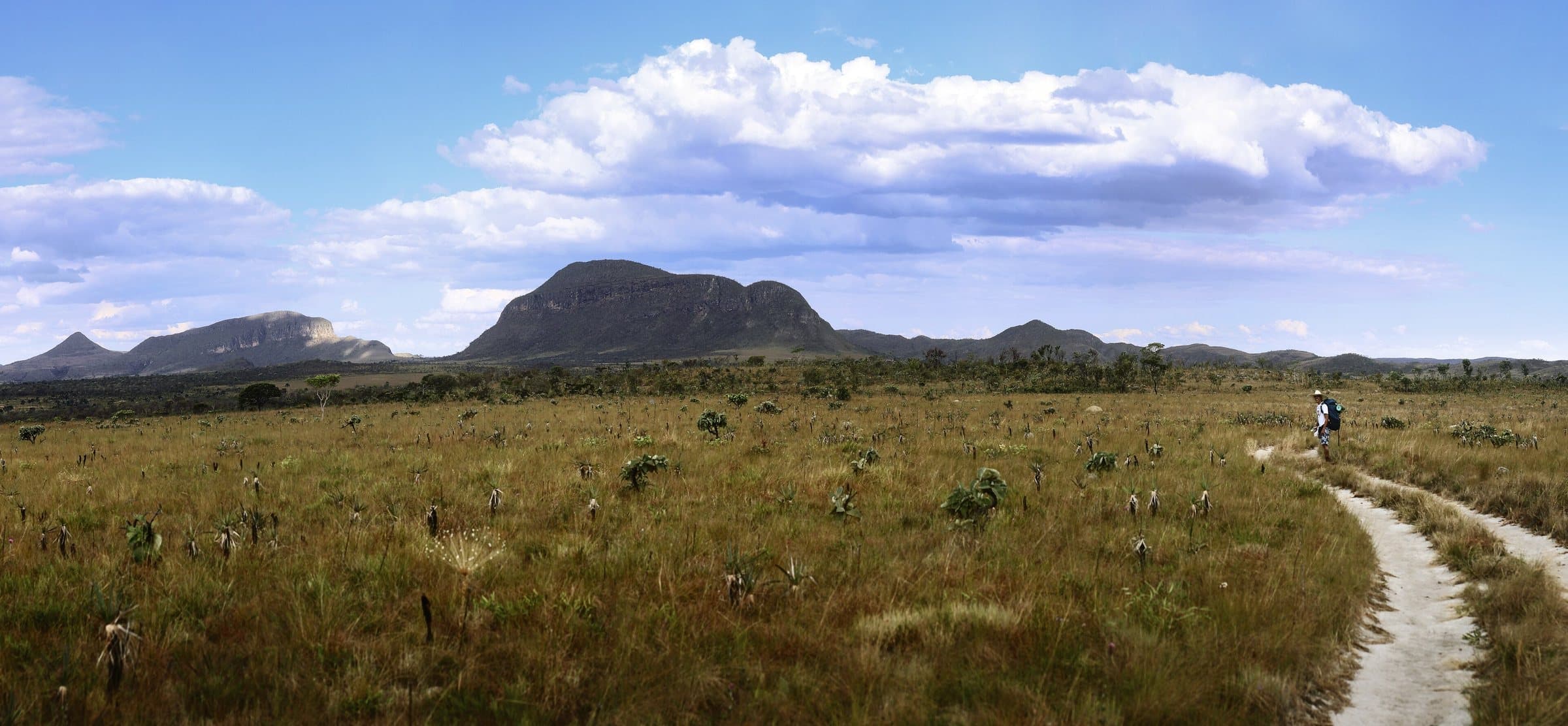
Opened to visitors in September 2022, the traverse links the São Jorge area to Capela, in Cavalcante, over about 25 km. The route is connected to Sete Quedas and the Serra de Santana, as part of the Caminho dos Veadeiros initiative.
The use of the names São Jorge–Capela and Fiandeiras–Capela in different places does not mean they are two entirely separate hikes. When booking, ask for the exact route, the direction, the entry gate and the pickup logistics at the end. A point-to-point traverse requires different transportation than a trail that returns to the starting point.
Before you go
It starts with what the guide researched and stays current thanks to visitors. Tap or hover over the votes to see how the community answered.
GuideCommunity
Arriving by car
according to the guideDepends on the itineraryAn activity, traverse or service with more than one starting, finishing or boarding point; logistics must be arranged for the chosen route.Hiking effort
according to the guideVery intenseSustained effort, rugged terrain, traverses and overnight expeditions. For experienced people, with equipment and guiding suited to the itinerary.Price paid
according to the guideR$ 51 to R$ 100Historical range, not the current rate
Pets
according to the guidePets not allowedThe official visitor FAQ states that domestic animals are not allowed in the National Park.
Read policy ↗Checked on Sep 15, 2026
Kids
no information yetThe guide does not sayLocal guide
no information yetThe guide does not say
Tickets and costs
General admission R$ 49; half-price ticket R$ 24.50 and R$ 5 for eligible residents. Transport, camping and special services are charged separately.
Prices checked on Sep 14, 2026. Confirm when booking.
The historical range helps compare outings; it is not the current rate and does not necessarily include a guide or transportation.
The route
Approximately 25 km, exiting at a different place from the entrance.
When to go · according to visitors
| Month | Answers | Recommended by the guide | Rainy season |
|---|---|---|---|
| January | — | No | Yes |
| February | — | No | Yes |
| March | — | No | Yes |
| April | — | No | Yes |
| May | — | No | No |
| June | — | No | No |
| July | — | No | No |
| August | — | No | No |
| September | — | No | No |
| October | — | No | No |
| November | — | No | Yes |
| December | — | No | Yes |
- Rainy season (November to April): more rain and a higher risk of flash floods.
Getting there
Approximate driving distances · Visitor Center · São Jorge
- Vila InfinitoOpenStreetMap estimate≈ 1.8 km≈ 5 minRoute
- São JorgeOpenStreetMap estimate≈ 1.2 km≈ 3 minRoute
- Alto Paraíso de GoiásOpenStreetMap estimate≈ 39 km≈ 39 minRoute
- CavalcanteOpenStreetMap estimate≈ 126.1 km≈ 2 h 05Route
Estimated times without stops; dirt stretches usually take longer.
Four fixed bases: Vila Infinito and the centers of São Jorge, Alto Paraíso de Goiás and Cavalcante. Routes measured on Google Maps where available; where the route passes through a measured base, the leg to it is added; the rest are OSRM / OpenStreetMap estimates. Where no distance is shown, the link opens the route on Google Maps. Walking trails are not included.
Distance sources
Road estimates: OSRM / OpenStreetMap. Maps may suggest a different route. Checked on Oct 5, 2026.
Access source ↗The road, as visitors found it
In the guide: Entering through São Jorge and exiting at Capela requires return transport. Arrange the place, time and vehicle for the pickup; the road you arrive on does not determine the road conditions at the exit.
Contact this place
Includes the channels of Parque Nacional da Chapada dos Veadeiros, which runs this circuit.
Other channels
Other ways to find the place
Contact suggestions are reviewed by the curators before they appear here.
Tips from visitors
Photos from visitors
The place, the terrain and the trails
Where to arrive and start · Visitor Center · São Jorge. Entrance to the São Jorge sector. Show your reservation and confirm the open route at the reception. For traverses, also arrange a pickup at the exit point.
See all 2 points, directions and sources
The green markers show where to start the visit. Check each point’s type: a property reference marks the establishment, not the parking spot or the exact trailhead.
Reception
Visitor Center · São Jorge
Entrance to the São Jorge sector. Show your reservation and confirm the open route at the reception. For traverses, also arrange a pickup at the exit point.
Location reference · checked Sep 14, 2026. Follow local signs when you arrive.
Parking
Parking area next to the Visitor Center
Mapped area next to the entrance. From here, continue on foot to the Park reception.
Location reference · checked Sep 14, 2026. Follow local signs when you arrive.
Community routesSearch routes published on WikilocView routes and elevation
Community routes
Visitor recordings on Wikiloc help you get to know the route and its stops. Measurements are approximate and belong to the recorded track; elevation gain adds up the climbs or descents. Difficulty is the author’s own rating and may differ from the guide’s classification. Check current conditions with the attraction’s operator.
To overlay a route on the map above, download its GPX file from Wikiloc and open it in “Overlay a GPX trail”. Wikiloc may require you to log in to download the file.
Search Google for Travessia São Jorge–Capela routes published on Wikiloc ↗